
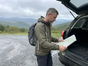
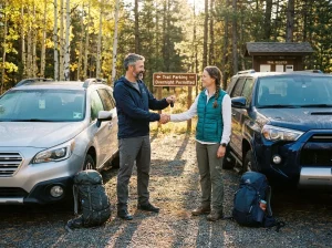

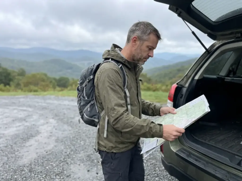
You drove five hours, pulled into the overlook at 10:40 on a Saturday in October, and the lot was full. Or worse: you picked a “moderate” 5-miler that turned out to climb 3,400 feet, and you were done by mile two. The best hikes in North Carolina along the Blue Ridge Parkway are not hard to find, but they are easy to pick badly, because almost every list ranks them by scenery adjectives instead of by the two things that actually decide your day: how far you have to drive between trailheads, and how much vertical you signed up for.
This list is organized the way people actually plan these trips, by base town, with real elevation gain numbers and current access status attached. Eleven trails across four regions, plus the three things nobody else puts in one place: what Helene left behind, what the gain numbers really are, and which pretty water will hurt you.
The Best Hikes in North Carolina’s High Country (Boone and Blowing Rock)
Most first-timers start here, and the reason is logistics rather than trail quality. Boone and Blowing Rock have beds, coffee, and a highway that gets you there without a mountain pass. What nobody mentions is that the northern Blue Ridge Parkway hides some of the steepest sustained climbing in the state behind mileage numbers that read like a lunch break.
Rough Ridge and the Linn Cove boardwalk
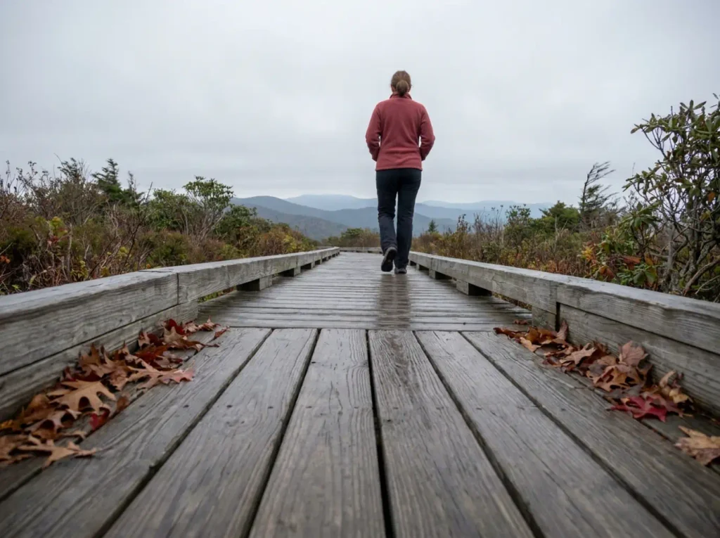
Rough Ridge sits right on the Parkway near the Linn Cove Viaduct: a boardwalk lifts you out of the rhododendron and onto open rock with the viaduct curving below. That boardwalk is why this trailhead fills first. It takes twenty minutes to reach and it is visible from the road, so trailhead parking here is a competition with every passing car, and in fall foliage season you lose it by mid-morning.
The slabs up top are open and unfenced, and on a windy day people drift further out than they meant to, chasing the angle. Stay on the rock, not the moss.
Grandfather Mountain and Calloway Peak
Grandfather Mountain is where the northern region stops being polite. The approach to Calloway Peak trades switchbacks for a genuine scramble: fixed ladders and cables bolted into bare granite outcrop, and the trail does not care that your app rated it moderate. Skip it if you are hiking with young kids, if the rock is wet, or if you already burned the morning on something else. Wet ladder rungs are the kind of thing you only misjudge once.
Linville Falls and Linville Gorge
Linville Falls anchors the northern waterfall scene, with several viewpoints stacked along a short trail system above Linville Gorge, and Crabtree Falls a few mileposts on gives you a second option in the same stretch. It is also the number to remember for the rest of this article: milepost 317, the northern edge of the corridor where the storm hit hardest. That makes Linville the trail here most likely to carry an access question on any given weekend.
On fall weekends, treat every named Parkway overlook trailhead as full by mid-morning. The Parkway pulls close to two million visitors in October alone, its single busiest month, and regional guides all repeat the same workaround: start at first light or start after four. The middle of the day belongs to the traffic.
If Carolina is only one option on your list, we built the same regional roundup for New York’s ranges on this exact structure.
Asheville-Area Hikes Along the Blue Ridge Parkway
Asheville is the practical hub for this whole list. Most visitors book a room here and drive out radially each morning, so the real skill is knowing which trails sit close enough to pair into one day. That is why this list groups by base town and sorted by effort rather than by scenery: a straight ranking makes you drive ninety minutes between the number two and number three picks.
Craggy Gardens and Craggy Pinnacle
Craggy Gardens and its short spur to Craggy Pinnacle give you a 360-degree summit for well under an hour of walking. The tunnel of gnarled, wind-bent rhododendron on the way up is the part people remember, and the June rhododendron bloom is the window locals plan around. October gets the crowds; June gets the flowers and a fraction of the cars. Hike it in the morning and you still have the afternoon.
Mount Mitchell
Mount Mitchell is 6,684 feet, the highest point east of the Mississippi, and it is two different hikes wearing one name. Drive nearly to the summit and walk a paved ramp to the deck, or start at Black Mountain Campground around 3,200 feet and climb roughly 3,480 feet over 5.6 miles to the same view. One is a scenic stop; the other is a mountain day your calves will discuss on the drive home. Check the Park Service’s own Parkway hiking guidance for trailhead access before committing to the long version.
Black Balsam Knob and the balds
A bald is a treeless, grassy or shrub-covered summit, a specific Southern Appalachian landform rather than a generic bare mountain. It is why ridgeline hiking here feels open in a way most Eastern forest walking does not, and why a bald summit like Max Patch further north draws the crowds it does. The word recurs throughout this article, so it is worth pinning down once.
Black Balsam Knob sits at 6,214 feet in Pisgah National Forest, and the approach is short but fully above treeline. That combination catches people: a hike that looks tiny on paper puts you on open grass with nothing between you and the weather, which means wind that shoves you sideways and lightning exposure that arrives faster than you can descend.
Several of these cluster close enough to string into one Parkway loop out of Asheville. Pair by base town, not by which trail photographs best, because three decent trails out of one town beat two spectacular ones ninety minutes apart. That is the same frame the way we break down a single trail system end to end uses at Sam’s Point on unfamiliar ground.
One shoulder season note that trips visitors up: ice arrives earlier and leaves later up high than anyone expects. A dry parking lot in Asheville tells you nothing about what the last half mile of Black Balsam is doing.
Waterfall Hikes in Transylvania County and Highlands
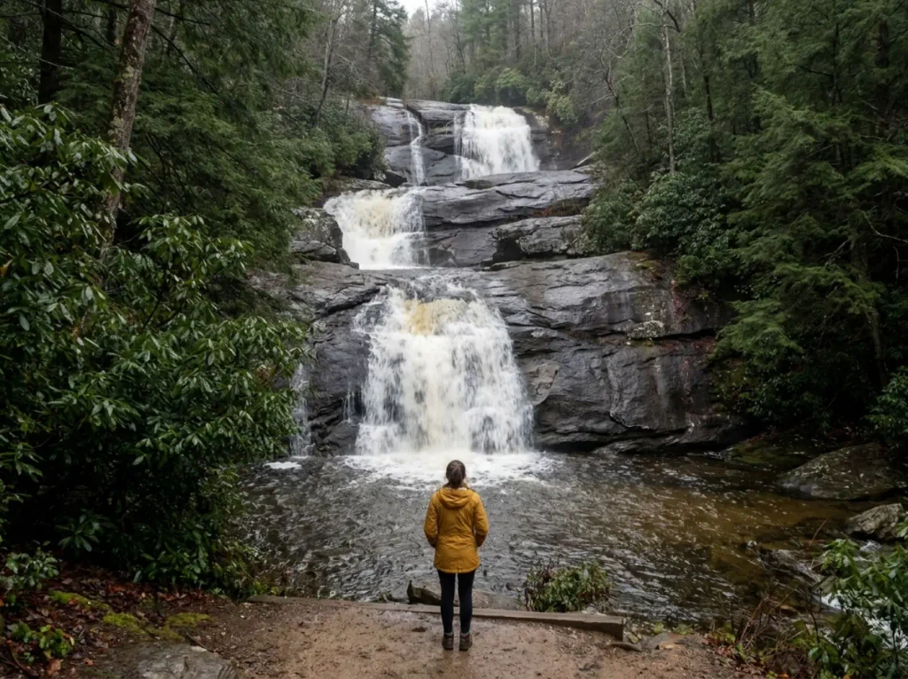
Transylvania County calls itself the Land of Waterfalls and earns it, with Brevard as the natural base at the northern end and Cashiers covering the Highlands corner. Waterfall hiking has its own rules, though: short trails, tight parking, rock that stays wet year-round, and a spot on every one of them where people get hurt. The general version of that craft, how to plan a waterfall hike so the light and the water both cooperate, lives in its own guide.
DuPont State Forest: Triple Falls, High Falls, Hooker Falls
DuPont State Forest has the best waterfall-per-mile ratio in the region. Triple Falls, High Falls, and Hooker Falls sit close enough on one short trail network to see all three in a morning without grinding out miles to earn them.
DuPont is also the dog cluster of this article. Dogs are welcome forest-wide on a leash of six feet or less, and owners are asked to keep them out of the falls themselves. Hold onto that, because the Smokies section runs the opposite way.
Looking Glass Falls and Catawba Falls
Looking Glass Rock, the bare granite dome the area is named for, sits above all of this, and Looking Glass Falls below it is the roadside one. Park, walk down a staircase, look at a broad curtain of water dropping straight off a ledge. It costs nothing in effort, which is why it stays packed and why it belongs on an itinerary as a stop rather than a hike.
Catawba Falls asks for a real walk in, and the trade is a quieter arrival. That split between drive-up viewing and walking in is the same platform-or-base decision hikers face at Kaaterskill Falls: decide before you leave the house which one you came for, because doing both badly is the usual outcome.
Whiteside Mountain and Whitewater Falls
Whiteside Mountain in the Highlands area is a short loop trail and carries the one hard trailhead fee on this list: a $3 self-pay charge at the kiosk. Every other named trail here, the Parkway overlooks, DuPont, the Smokies trails, is free to walk, which makes a Blue Ridge weekend one of the cheapest hiking trips in the East. Spot-check per trailhead anyway, since fee structures change.
The parking is the real cost. The Forest Service’s Whiteside Mountain recreation page documents that lot at capacity roughly 9am to 4pm on peak-season weekends and holidays. Rolling in at 9:15 on an October Saturday to find every space taken is not bad luck, it is the documented normal.
Whitewater Falls nearby is one of the tallest in the East, viewed from a developed overlook. Look at it from the platform. The next section explains why.
Smokies and Cherokee Trails on the Southern End
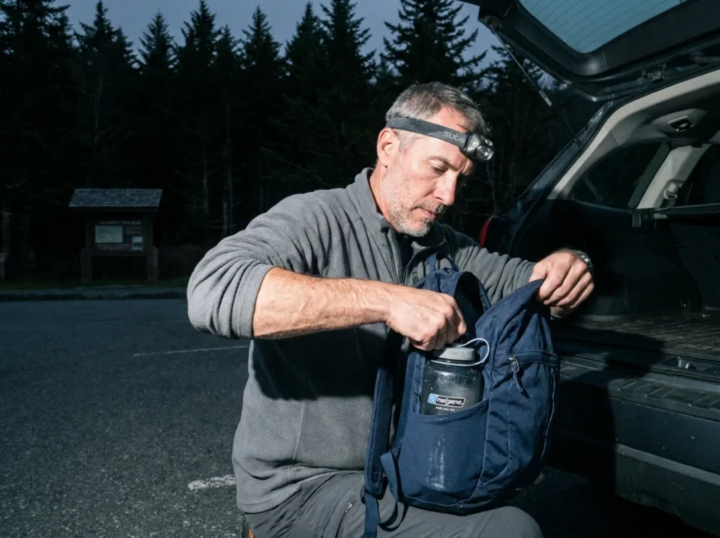
Based out of Bryson City or Cherokee, people treat the Great Smoky Mountains National Park end as more of the same Blue Ridge, and it is not. The Appalachian Trail runs the crest here and the Mountains-to-Sea Trail threads much of the Parkway corridor, so plenty of these miles are shared with people walking a great deal further than you are. But this is a national park with national park rules, and the rule that catches out-of-state visitors hardest has nothing to do with terrain.
Alum Cave Bluffs
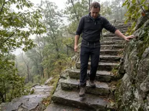
Alum Cave Bluffs is the Smokies’ signature approach, and like Mitchell it is really two trips depending on where you stop. Turn around at the bluffs and you have a solid half day with log staircases, a rock arch, and cable handrails through the exposed sections. Keep going and you are on a summit push that eats the whole day. We have the full breakdown of the Alum Cave trailhead if you want the turn-by-turn version, including where the parking overflow actually goes.
Hemphill Bald and Cataloochee
Hemphill Bald out of the Cataloochee side is the long, quiet, genuinely hard end of this list: 13.4 miles with roughly 2,913 feet of gain, rated hard. That rating undersells it until you attach the number to it. This is a full day with an early start, not an afternoon.
One planning note that saves a bad surprise: part of the connecting Caldwell Fork Trail has had intermittent closures, so confirm the connector is open before you commit to a loop instead of an out-and-back. The rules change the moment you cross a boundary out here, and the same thing happens on Central Pennsylvania trails where a single hike crosses three land managers with three different rulebooks.
Waterrock Knob and the southern Parkway overlooks
The southern mileposts are where you get the most elevation for the least commitment. Waterrock Knob delivers a big summit view on a short, steep paved-then-rough climb. Better still, Richland Balsam Overlook near milepost 431 is the highest hiking point on the entire Parkway at 6,410 feet, and it asks for 1.5 miles and about 700 feet of gain. Thin air, small ask.
Now the rule that catches everyone. The park permits dogs on only two trails park-wide, the Gatlinburg Trail and the Oconaluftee River Trail, which means every Smokies trail named in this article is dog-prohibited.
Not discouraged. Prohibited. The Park Service’s official pet policy spells it out.
Visitors arrive here expecting the DuPont leash-and-go norm constantly, and it costs them the entire drive, not five minutes of inconvenience. There is no dog-friendly trail on this end of the map. If the dog is coming, the dog’s day is in Transylvania County.
What Hurricane Helene Left Behind on the Parkway
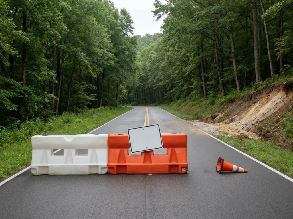
Two years on, “check current conditions” has become the kind of boilerplate line readers skip. On this particular road it is still a live instruction: hurricane Helene trail damage is an active repair programme rather than a finished chapter, and there is one specific stretch of mileposts where a trail closure genuinely decides whether your day happens.
Where the damage concentrated
Helene closed all 469 miles of the Parkway at initial impact. Recovery crews pulled 350,000 cubic feet of debris out of the 11-mile Asheville corridor in the first six weeks alone. That is the scale that explains why this is still an open question in 2026 rather than a closed chapter.
The heaviest damage runs from Linville Falls at milepost 317 south to Mount Mitchell State Park at milepost 355, and 45 sites were still under active repair as of the March 2026 update. If your trail sits in that corridor, it needs a status check. If it does not, you are almost certainly fine. That is the whole filter, and the Blue Ridge Parkway’s official Helene recovery and trail-status page is where you run it.
How to check status the week you go
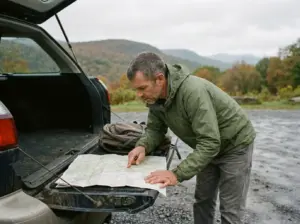
The mistake is checking in March for a trip in October. Recovery work is still moving, which means a status you confirmed two months out is a status about a different Parkway. Check the week you go, ideally the same week you book the room, and then again the night before if your trail is in the 317 to 355 band.
Build the check into the drive, not the planning. Screenshot the road-status map before you leave cell service, because the Parkway between mileposts drops signal for long stretches and the moment you actually need that information is the moment you cannot load the page.
What “reopened” does and doesn’t mean
Here is the part that burns people. A trail can be fully open and completely unreachable, because the access road that gets you to its trailhead is the thing under repair. “Trail reopened” and “you can hike it Saturday” are two separate claims, and status pages report the first one far more readily than the second. Read for the road, not just the trail.
That distinction is worth understanding in general, not just here, and we cover what a closure notice actually means and when a reroute is legitimate as its own skill, because the informal reroute around a barricade is how people end up on unmaintained ground.
For a sense of how long these timelines can really run, look at Laurel Falls, closed on a much longer timeline over in the Smokies. Multi-year closures are not a Helene invention. They are normal infrastructure reality, and pulling up to a barricade at a landmark you hiked years ago is a specifically deflating way to start a Saturday.
Why Blue Ridge Mileage Lies About How Hard a Hike Is
Two hikes on this list are roughly five miles. One is a pleasant afternoon. The other climbs most of a vertical kilometer. Mileage cannot tell them apart, and neither can the word “moderate.”
The three numbers that anchor the range
Three trails on this list set the boundaries of what elevation gain means around here:
- Richland Balsam Overlook: about 700 feet over 1.5 miles. The highest point on the whole Parkway, and still an easy morning.
- Mount Mitchell Trail: roughly 3,480 feet over 5.6 miles. Sustained climbing comparable to a moderate Rockies day hike, on a mileage number that reads casual.
- Hemphill Bald Trail: about 2,913 feet over 13.4 miles. A full day, but spread out rather than stacked, which feels different again from Mitchell’s wall.
Notice that Mitchell and Hemphill are close on total gain and nothing alike as experiences. Gain per mile is what separates them: Mitchell packs its climbing into a third of the distance.
Why gain beats mileage as a difficulty predictor
Flat miles cost you time. Vertical feet cost you legs, lungs, and the back half of your day. A five-mile hike with 3,000 feet of gain is not the same animal as five miles of rolling forest road, and the word “moderate” gets applied to both because difficulty ratings are set by whoever wrote that particular trail page, using whatever scale they had in mind. If you have ever wondered why that “moderate” rating wrecked you last weekend, the answer is usually that the rating came from a system built for different terrain.
Take “moderate” as a starting hypothesis, then go find the gain figure. If the gain figure is missing, treat the trail as harder than advertised until proven otherwise.
How to translate a gain number into a plan
The rough working rule that gets repeated across trail communities: budget an extra half hour for every thousand feet of gain, on top of your normal flat-ground pace. Mitchell’s 3,480 feet buys you close to two extra hours over the same mileage on level trail. Water scales with vertical too, not distance, because climbing is what actually drains you, so a daypack with room for more water than you think you need matters more here than on a flat ten-miler.
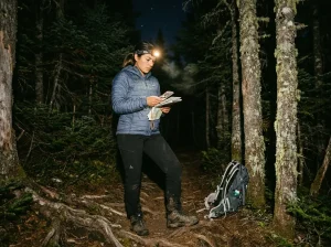
Sustained climbing also decides your turnaround, and this is the part beginners get backward. Set the turnaround by time, not by summit. If you are not at the top by your chosen hour, the top is not happening today, and the descent on tired legs is where most of the trouble on these trails lives. Carry a headlamp anyway, because the one time you misjudge it is the time the light goes early under a closed canopy.
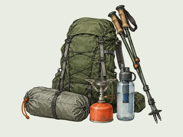
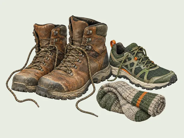
Footwear stops being theoretical on this kind of terrain. Rocky sustained climbs are where the footwear that holds up on sustained rocky climbs earns its weight, though honestly low-cut hiking shoes handle most of these trails fine if your ankles are used to them and your day is under ten miles. What almost nobody gets right first time is the layer between: socks that survive a wet waterfall approach are the difference between a hot spot at mile three and a blister that ends the trip.
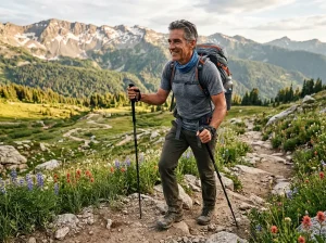
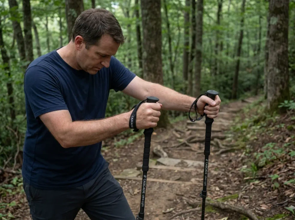
Poles are the other honest fix for long descents, and if you have never used a pair, our trekking poles 101 walkthrough covers the technique before the purchase; something light and collapsible like the Cascade Trekking Poles is the standard budget-friendly starting point for a Mitchell-style descent.
No gain figure captures wind. Above treeline on Black Balsam or the Craggies, a steady 25mph headwind adds effort no number on a trail page accounts for, and it does it while cooling you faster than you notice. Hikers routinely underestimate an exposed bald in exactly this way: the climb was easy, and the standing around at the top is what got cold.
Which Blue Ridge Waterfalls Are Safe to Swim
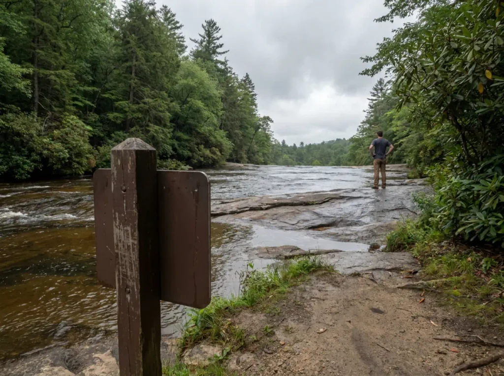
The most hazardous thing on this entire list is not a cliff or a bear. It is a pretty pool with people already in it, which happens to be the single most convincing safety argument a hiker will ever ignore.
Rainbow Falls and Turtleback Falls
Rainbow Falls on the Horsepasture River in Gorges State Park drops roughly 150 feet, and there is a documented pattern of fatalities most years from people climbing, jumping, or wading at the top of the falls. Not from swimming in the plunge pool below. From being above the lip, where the rock is smooth and constantly wet and there is no version of a slip that ends well.
Turtleback Falls sits a quarter mile upstream and is a popular natural water slide. That is the trap. The current that makes the slide fun runs downstream toward Rainbow, and it has swept swimmers over that edge. Gorges State Park rangers do not endorse swimming there, which is unusually direct language for a park agency.
Why “other people are already swimming” is the worst signal there is
Social proof works fine for restaurants. It does not work for moving water, because the twenty people currently in the pool are evidence of exactly one thing: that twenty people made the same decision as you, most of them within the last hour. None of them tested the current, none of them know the flow today versus last week, and none of them will be positioned to help if you go past the lip.
The flow part deserves its own sentence. A Blue Ridge river after three dry weeks and the same river four days after a storm are two different rivers at the same spot, and the difference is invisible from the bank because the rock, the pool and the view all look identical. What changes is how hard the water is pulling, and you cannot see pull. You can only feel it, and by the time you feel it you are already in it.
Height above the water is the other thing people misread. The rock on the approach to a falls lip is polished by decades of flow and stays wet well back from the edge, so the last few steps are the ones with the least traction and the highest cost. That is the geometry behind the pattern at Rainbow: almost none of it happens to people swimming in the plunge pool at the bottom, and almost all of it happens to people who walked out on top for a better angle.
Picture standing above Turtleback watching hikers slide down it, laughing, doing it again. Then try to explain to a first-timer why a few feet further toward the edge changes the entire outcome. The scene looks like proof of safety and it is nothing of the kind.
A three-question check before you get in
Regional guides and park signage converge on roughly the same test, and it takes about ten seconds at the water’s edge:
- Is there a drop downstream of this pool, and can you see where the water goes after it leaves? If the answer is no, that is not a reason to relax.
- Is the current pushing in one clear direction, or is it slack? Slack water at the base of a falls is a swimming hole. Moving water above one is a conveyor.
- If you slipped right now, would you end up somewhere you can climb out of unaided?
Two noes and you stay dry. This is not a formula anyone invented for this article, it is the plain version of what every waterfall-safety notice in the region is trying to say, and it works because it moves the decision from what the place looks like to what the water is doing.
Where getting in the water is ordinary
This is not an argument against swimming. It is an argument against swimming here. DuPont’s Triple Falls and Hooker Falls area carries no comparable documented pattern of fatalities in available sourcing, and Hooker in particular is a normal, popular swimming hole on a hot afternoon. Ordinary wet-rock caution applies: the rock at the base of any falls is slick in a way that dry rock never prepares you for, which is the one place on this list where water shoes genuinely beat boots.
The rule that comes with DuPont is the leash, six feet, forest-wide, and keeping the dog out of the falls themselves. That request is Leave No Trace applied to one specific place, and it is the same ethic that keeps these pools worth visiting everywhere else. Nobody enforces most of it. That is rather the point.
Conclusion
Pick by base town, not by photograph. The drive between two great trails is what eats a Saturday, and a tight cluster out of Asheville beats a spectacular pair ninety minutes apart.
Read the gain number, not the difficulty word. Mount Mitchell and Richland Balsam are both “high”; only one of them is hard, and the trail page will not tell you which.
Check the Parkway’s status the week you go, and stay out of the water above Rainbow Falls. Those two habits cover most of what goes wrong out here.
Pick one region and give it a full Saturday rather than trying to sample all four. See how much of the Parkway you can leave for the next trip. And if a day hike here has you thinking about a night out, the Cataloochee side is where a lot of people make that jump.
Frequently Asked Questions
01What is the most scenic hike in North Carolina?
Craggy Pinnacle near Asheville gives the best view per mile in the state: a 360-degree summit for under an hour of walking. Scenic splits two ways, though. If you mean ridgeline views, that is Craggy Pinnacle or Black Balsam Knob. If you mean water, the answer moves to DuPont State Forest.
02What is the prettiest waterfall in North Carolina?
Triple Falls in DuPont State Forest is the usual answer, with three tiers visible from one vantage point on a short trail. The real split is access: Looking Glass Falls is roadside, while Catawba Falls and the DuPont cluster ask for an actual walk in.
03What are some popular walking trails in North Carolina Blue Ridge?
For a walk rather than a climb, start with Craggy Pinnacle, the Linn Cove boardwalk at Rough Ridge, and Hooker Falls in DuPont. All three are short, low-gain, and well-marked, and all three deliver a real payoff without sustained climbing or exposure.
04Do you need a permit or pay a fee to hike the Blue Ridge Parkway?
No. The Blue Ridge Parkway charges no entrance fee and its trailheads need no permit for day hiking. The one exception on this list is Whiteside Mountain, where a $3 self-pay fee applies at the trailhead. Fee structures change, so spot-check your specific trailhead.
I've spent more than a decade researching hiking gear and trail technique. I read the specs, the forum threads and the long-term reviews, and every pick here comes with what it gets wrong.
End of the trail
You read every mile of this one. Here's where the trail goes next.