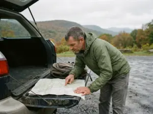
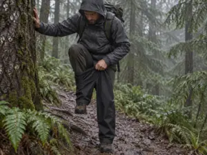
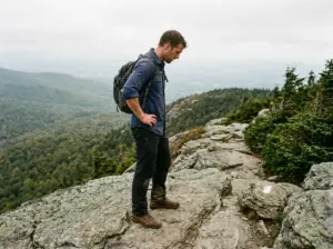
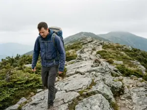
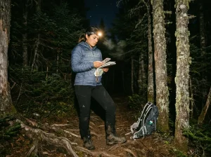
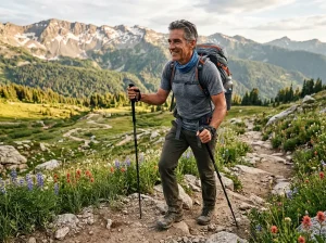
You’re an hour outside Harrisburg on a flat gravel grade, the kind of walking where you stop paying attention to your feet. Somewhere behind you, without a sign, a gate, or any change in the tread, the ground stopped being managed for recreation and started being managed for hunting.
Hiking in Central PA means crossing a patchwork of two agencies with two rulebooks, on ridges built from one specific rock that breaks in a way your ankles will remember, in a state sitting in the national top 10 for Lyme cases. None of that shows up in a trail listing. This guide sorts the trails worth your day by what you want out of one, explains why the terrain punishes you harder than the mileage suggests, spells out the Game Lands rule almost nobody warns hikers about, and tells you when in the year to go.
What Counts as Central PA and Why the Terrain Is Like This
Ask five hikers where Central PA starts and you’ll get five answers, which is the first thing that makes Central Pennsylvania hiking hard to research. Functionally, for anyone planning a day out, it’s the Susquehanna River corridor and the country around it: Harrisburg and Hershey at the core, north to Ricketts Glen State Park, west along the Mid State Trail toward Bald Eagle State Forest, south to the ridges above the Maryland line. A region defined by a shape, not a border.
That shape is the Ridge-and-Valley Appalachians, and it explains almost everything about how these trails feel. Long parallel ridges run northeast to southwest with flat farmland between them, so the hiking comes in two flavors and rarely anything between. You either walk dead-flat valley miles for hours, or you climb hard and fast to a ridge crest and then walk the spine. The gentle rolling middle ground other regions offer mostly doesn’t exist here.
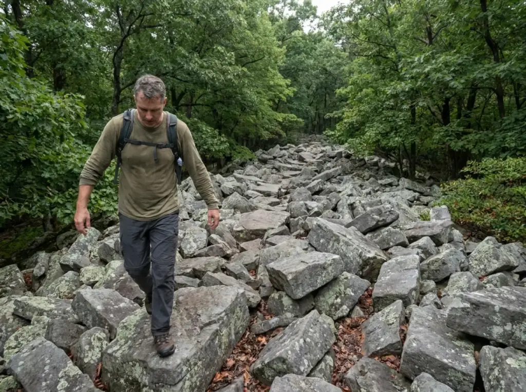
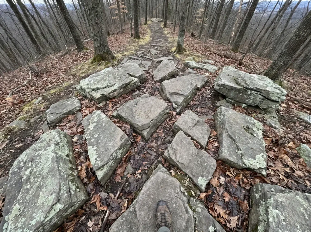
The ridge crests are capped with Tuscarora sandstone, a formation running roughly 935 feet thick where geologists have measured it. That single fact does more to explain Central PA hiking than any trail description you’ll read. Tuscarora is a hard, quartz-rich rock, and hard rock doesn’t wear down into smooth dirt tread the way softer stone does. It fractures into angular blocks and stays that way, which means every ridge trail here is walking on the rubble of a rock that refuses to round off.
So when a trail guide calls a Central PA route rocky, understand what that word is covering for. It doesn’t mean a few stones in the path. It means stretches where there is no path in the usual sense, just a field of edged blocks with white blazes painted on some of them.
The Appalachian Trail runs straight through all of this, crossing the Susquehanna at Clarks Ferry near Duncannon. A meaningful chunk of what locals call day hiking around Harrisburg is actually national scenic trail mileage, which is worth knowing if you want to see where those white blazes go once they leave your county. It’s the same footpath, and understanding the Appalachian Trail’s full run changes how a two-hour section hike feels.
Look at the shape of the elevation profile, not just the total gain. Plenty of Central PA out-and-backs run downhill the whole way out and uphill the whole way back, which means you meet the climb tired, at the end, with your water half gone. Same total gain, completely different day.
The Central PA Trails Worth Your Day, Sorted by What You Want
Every roundup covering this region hands you a numbered list and lets you sort it out. That’s backwards. Nobody wakes up wanting a hike in the abstract.
You want to see something, or put in real distance, or get a workout that fits in a morning, or find a family-friendly hike your parents can do without hating you. So here they are sorted that way, the same approach we took when we sorted the same way for North Jersey.
If You Want Waterfalls: Ricketts Glen’s Falls Trail
This is the one people drive three hours for, and it earns it. The full Falls Trail loop runs 7.2 miles with roughly 1,000 feet of elevation gain, and DCNR rates it most difficult, which you can confirm in the official DCNR trail guide for Ricketts Glen. You pass 21 named waterfalls. The tallest is Ganoga Falls at 94 feet, and most hikers spend three to five hours on the loop.
Now the honest part. Those numbers read moderate, and seven miles with a thousand feet of gain is a comfortable half-day in most places. Here it isn’t, and the reason has nothing to do with either number.
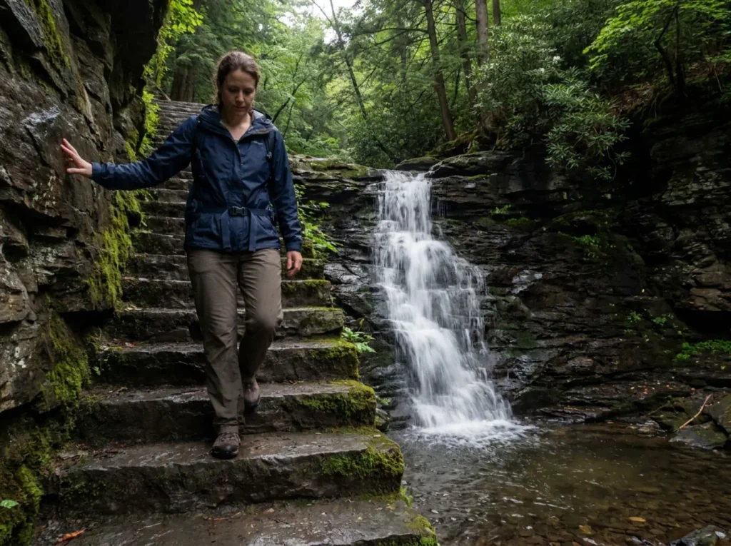
The trail descends the glens on hundreds of stone steps laid into the gorge walls, and because those steps sit within spray distance of moving water, they’re wet and mossy most of the year. You will not walk that at your normal pace. Nobody does. Budget a half day for a 7.2-mile loop trail, and if you plan two and a half hours because that’s what 7.2 miles costs you at home, you’ve made your first error before leaving the parking lot.
If You Want Long Flat Miles: Stony Valley Rail Trail
Roughly 19 to 22 miles of old railroad grade through St. Anthony’s Wilderness, gravel underfoot, essentially flat end to end. Figure six to seven hours if you’re walking the whole thing.
It runs as an out-and-back trail unless you arrange a shuttle, so halve those numbers for a there-and-return day. This is the answer for anyone training up distance, walking a dog that needs miles, or just wanting to move without negotiating with rock all day.
There’s one thing you need to know before you plan anything overnight here. Stony Valley runs through State Game Lands 211, not a state park, and that distinction carries consequences most hikers never see coming. The next section is entirely about what changes when you cross that invisible line.
If You Want a Short Hard Climb: Hawk Rock, Duncannon
Over 700 feet of gain in about 1.1 miles, on the Appalachian Trail above Duncannon, rocky essentially the whole way to the overlook. The view over the Susquehanna water gap at the top is the payoff and it’s a good one.
Hawk Rock is the purest example of the Central PA trap. You read one point one miles, you picture twenty-five minutes, and then the trail goes almost straight up a talus slope into real rock scrambling, hands included. The number didn’t lie exactly. It just declined to mention what was packed inside it.
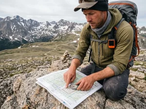
The route follows white AT trail blazes the whole way, so if you’re at all shaky on reading the blazes, spend ten minutes on that before you go. There are junctions up there where a wrong turn adds real distance.
If You Want Easy and Close to Town
The Harrisburg area has a genuinely good set of low-effort options. The Capital Area Greenbelt rings the city on mostly paved and crushed-stone surface, and you can pick up any segment for as long as you feel like walking. Wildwood Park gives you flat lake-edge walking with boardwalks and serious bird activity. Boyd Big Tree Preserve Conservation Area sits a short drive north with a real forest walk and a modest climb if you want one.
None of these will make a good story. That’s fine. Sometimes a hike is just a nice walk, and the payoff is being on the trail eleven minutes after leaving your driveway instead of two hours.
One thing worth carrying onto the busier of these: the right-of-way convention holds here like anywhere, so yield to uphill hikers on the Greenbelt’s steeper connectors and step aside for horses on the Horse-Shoe Trail crossings. The full logic behind trail etiquette and who yields to whom is worth five minutes if you’ve never thought about it.
State Game Lands vs State Park, the Rule That Changes Midtrail
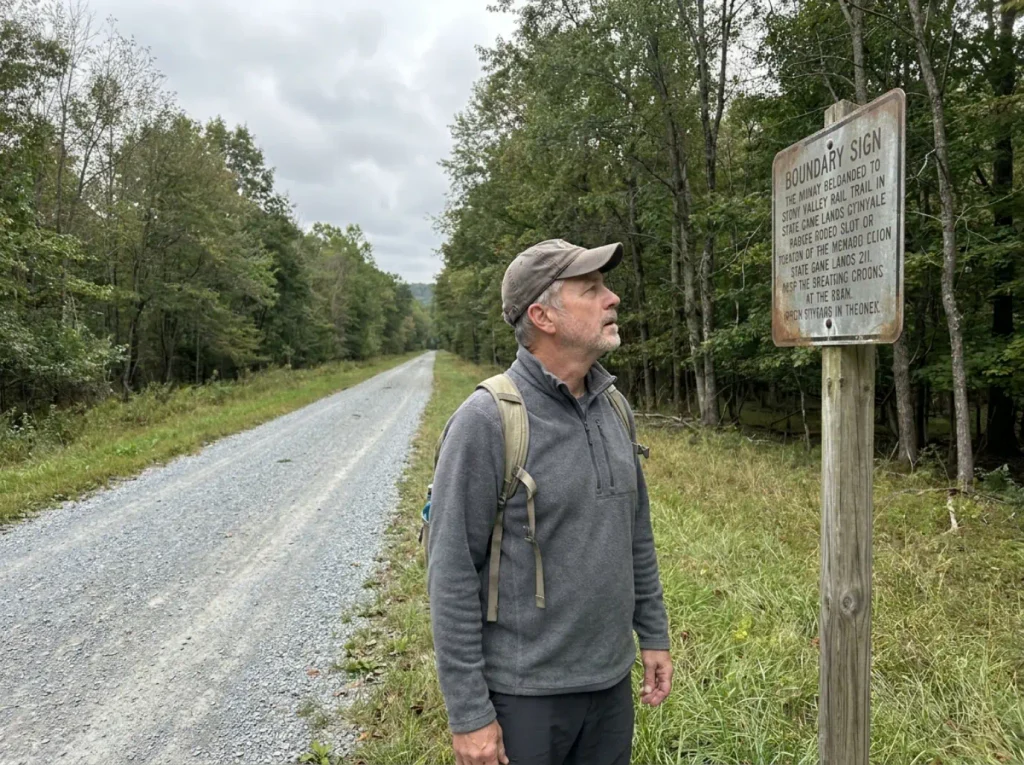
Most hikers carry exactly one mental category for the ground they walk on: public land, where walking is allowed. Pennsylvania runs at least two kinds, administered by different agencies under different codes, and from the trail they look identical.
There is no fence. There is often no sign. And only one of them lets you pitch a tent.
The Two Kinds of Public Land Under Your Boots
State Parks are run by DCNR, the Department of Conservation and Natural Resources, and they exist for recreation. Trails, campgrounds, restrooms, rangers who expect to see hikers. That’s the model everyone has in their head.
State Game Lands are run by the PA Game Commission for hunting and wildlife management. Those lands were bought with hunting license revenue and they’re managed toward that purpose. Hiking is permitted and you’re welcome there, but the permissions that come bundled with the word park mostly don’t come with the words Game Lands, and nobody hands you a pamphlet at the boundary.
This matters more in Central PA than almost anywhere else, because a large share of the region’s long trail mileage crosses Game Lands at some point. Stony Valley runs through SGL 211 for its entire length, and sections of the AT cross Game Lands parcels. You can start your day in a state park, walk four miles, and be standing on Game Commission ground with no idea it happened.
What’s Actually Different (and What Gets You Cited)
Camping on State Game Lands is prohibited. Not discouraged, not permit-required. Prohibited, under 58 Pa. Code Subchapter C, with one narrow carve-out: Appalachian Trail thru-hikers may camp one night per location, at least 500 feet from springs.
That’s it. If you want the full text, the public land rules that govern State Game Lands access lay out the camping ban, the thru-hiker exception, and the group thresholds together.
Group size also changes. Ten or more people on Game Lands requires a permit. If your hiking club, church group, or extended family is walking Stony Valley together, count heads before you go.
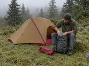
The scenario that catches people is boringly predictable. A tent goes up along Stony Valley at dusk, on a flat spot beside a gravel grade that looks exactly like every state park trail the hiker has ever camped near, and the conversation with the officer the next morning is the moment they learn it was never park land. Nothing about the ground told them. The map layer did, if they’d looked.
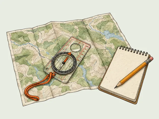
Before any Central PA route you haven’t walked before, pull up the Game Commission’s State Game Lands mapping layer and trace your line across it. Two minutes, done at the kitchen table. It tells you which agency owns each mile, and that single check answers the camping question, the group-size question, and the orange question in one pass.
Blaze Orange Isn’t Just for Hunters
From November 15 to December 15, anyone on State Game Lands must wear 250 square inches of fluorescent orange on the head, chest and back. Anyone. Not hunters specifically. You, walking a rail-trail with a thermos, are covered by that rule if the tread you’re on belongs to the Game Commission.
Two hundred fifty square inches is more than a hat. It’s a hat plus a vest, roughly, and the rule specifies head, chest and back for a reason: you need to be visible from any angle in flat light through bare trees.
The way most hikers find out is walking a Game Lands stretch in late November, passing someone in full orange coming the other way, and doing the arithmetic about halfway through the next quiet mile. Entirely avoidable, and the broader habit set for how to hike through hunting season without becoming a problem is worth building before mid-November rather than during it. It isn’t a Pennsylvania quirk either: the same seasonal closure logic plays out at Sterling Forest a few hours east, different dates, same reasoning.
Why Your Ankles Hurt More Here Than the Mileage Suggests
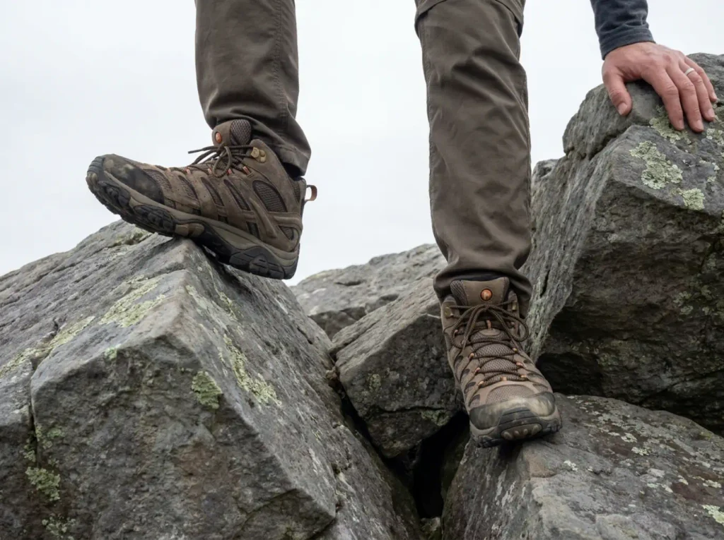
You walk six miles in Central PA and come home more thrashed than you were after nine somewhere with dirt tread. The stats give you nothing to explain it. Same distance class, less gain, and yet you’re the one limping to the fridge. The explanation is entirely under your boots, and it goes back to that Tuscarora sandstone.
Rock Fields Are a Different Kind of Tired
Hikers around here call them rock fields or rock gardens, and both terms mean the same thing: a stretch of trail where the surface is angular sandstone blocks, sometimes loose, sometimes set in the ground, always uneven. On the ridge sections of the AT and the Mid State Trail, you can walk a half mile at a time without your foot landing on anything flat.
Here’s the mechanism nobody spells out. On dirt tread your foot lands the same way a few thousand times in a row and you settle into it. On a rock field every step lands at a slightly different angle, and your ankle, knee, hip and core each make a small correction to keep you upright.
Multiply that by ten thousand steps. That’s the fatigue, and it doesn’t show up in any trail statistic ever published.
Which means the useful line in a trail description isn’t the elevation number, and it isn’t the trail difficulty rating either. It’s the surface. Talus, boulder field, rocky ridge, rugged: those words predict how you’ll feel at the car far better than a moderate difficulty tag does, and plenty of routes filed as moderate here walk like a strenuous hike. Connecticut’s traprock ridges do something similar to your ankles for the same reason, different rock, same angular fracture.
Wet Stone Steps Are the Actual Hazard
Back to Ricketts Glen for a second, because it’s the clearest case. The hazard on the Falls Trail is not the 1,000 feet and it is not the 7.2 miles. It’s several hundred stone steps built along a gorge, permanently damp from waterfall spray, with moss working on them the entire growing season.
Wet mossy stone gives you almost no friction warning. Dirt tells you it’s slick before you commit weight. Wet moss on sandstone does not, and the step you slip on is usually the fortieth one, when your legs are tired and your attention has drifted to the scenery, which is why you came.
Slow down there and use your hands on the rail sections. The people who get hurt at Ricketts Glen are overwhelmingly people running a time budget they built around mileage.
What Actually Helps on This Terrain
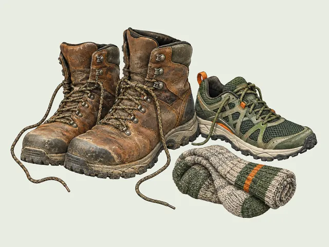
Boots matter more here than on smooth tread, and specifically ankle height matters. The Merrell Moab 3 Mid Waterproof Hiking Boot (men’s · women’s) is the common-sense pick here: mid-cut collar, waterproof membrane, and enough sole stiffness that a sharp block edge doesn’t fold into your arch.
The ankle support isn’t about rolled-ankle rescue stories. It’s the cumulative work your ankle does absorbing all those angled landings, and a mid-cut boot takes a slice of that off you over a long day. The membrane earns its keep at Ricketts Glen, where you will be walking in spray.
Poles are the other real change. Cascade Trekking Poles in the ultra light carbon fiber build give you two extra points of contact, worth far more on wet stone steps and rock fields than on a comparable-mileage dirt trail. This is where a less-experienced hiker gets the biggest return from poles, because poles do most of their work exactly when your footing is uncertain and your balance is already committed. If you’re weighing carbon against aluminum for a set you’ll beat on rock, how poles trade ultralight against durability covers where each wins.
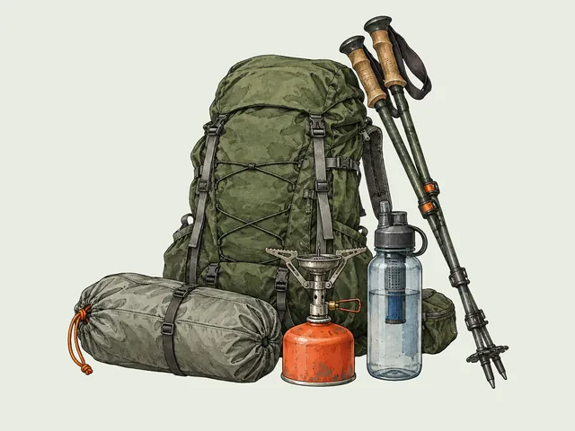
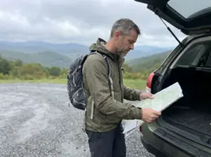
The honest counterpoint: on Stony Valley, poles are two objects you’re carrying for nineteen miles for no reason. Flat gravel gives your ankles nothing to correct for. Match the gear to the trail shape, not to the region, and past that the rest of the core gear system applies here about the same as anywhere.
The Tick Problem Nobody in This SERP Mentions
Ask what to watch for out here and you’ll hear timber rattlesnake and black bear. Both are real, both live in these ridges, and both are genuinely rare encounters that almost never go badly. The thing that actually reaches people is the size of a poppy seed, it doesn’t move fast, and it’s waiting on the grass at the edge of the trail with its front legs in the air.
The Numbers Pennsylvania Doesn’t Advertise
Pennsylvania recorded 18,747 lab-confirmed Lyme disease cases in 2025, up from 16,624 in 2024. That’s a trend line, not a stale statistic, and it’s documented in the state’s latest tickborne disease advisory from the Department of Health.
PA also sits in the national top 10 for Lyme cases per population. Not top 10 in raw count, which a big state could reach on population alone. Top 10 per capita, meaning a hiker here carries materially more risk than the national average.
It’s seasonal rather than flat, too: 61.2% of Pennsylvania cases have symptom onset between late May and early August. A ten-week window holding almost two-thirds of the annual total, landing squarely on prime hiking season.
The mistake that undoes people isn’t recklessness. It’s a category error, the assumption that this hike doesn’t really count because it’s a rail-trail, or a two-mile loop, or a walk in a city park.
Black-legged ticks, the deer tick most people mean when they say tick, don’t live in remote backcountry. They live in leaf litter and tall grass and climb the vegetation at the exact edge of the tread you’re walking, which puts the highest-exposure ground on the most casual hikes. Long Island hikers deal with the same math on trails that look even tamer than these.
The Two-Layer Protocol That Actually Works
Two products, two entirely different jobs, and the mistake is thinking either one covers both. Permethrin goes on fabric and stays there through washes, taking out ticks that contact it. DEET goes on skin and discourages them from landing. Neither substitutes for the other.
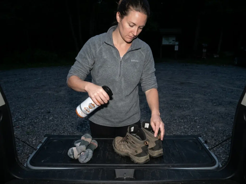
For the fabric layer, Ranger Ready Permethrin Spray for Clothes and Outdoor Gear is a DEET-free 0.5% permethrin treatment that handles about seven outfits per bottle. Treat it at home the night before, let it dry fully, and it rides with the clothing rather than with you.
Here’s the part that changes how you apply it. A University of Rhode Island study found hikers wearing permethrin-treated shoes and socks were 73.6 times less likely to get a tick bite.
Shoes and socks. Not shirts, not hats, the stuff at ground level where ticks actually make contact, which is the first thing people skip when spraying down a kit. Treat footwear and socks first, then work up. For the efficacy data in more depth, what permethrin-treated fabric actually buys you breaks the numbers down by garment.
For skin, Repel 100 in the 4oz DEET pump spray covers what fabric can’t: ankles above the sock line, the back of the neck, wrists. High-concentration formula, so it goes on thin and on skin only, never over treated fabric where it does nothing useful.
Then the physical barrier. Pike Trail Ankle Gaiters seal the gap between boot collar and pant cuff, a small opening that sits at exactly the height ticks board from. They weigh almost nothing and they keep sandstone grit out of your socks on the rock fields, which is a second reason to own them. Layered together, permethrin plus gaiters plus a real check is the three-stage tick defense that holds up over a season.
The Tick Check Is Not Optional Here
Do it at the car. Not at home two hours later after dinner and a shower, at the car, standing in the parking lot with the door open. Transmission risk climbs with attachment time, so the hours between the trailhead and your bathroom are hours you’re giving away for free.
Check the places they end up rather than the places they got on:
- Behind the knees
- Waistband and belt line
- Sock line and the tops of your feet
- Hairline and behind the ears
Ticks climb until something stops them, so the finds are almost always at a seam, a band, or a fold, and almost never out in the open on a shin where you’d have noticed.
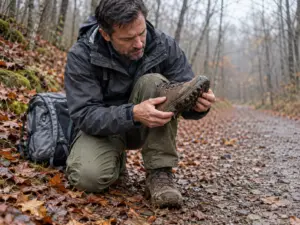
Keep a lint roller in the car. Run it over your pants and socks before you get in, and it lifts the unattached ticks that are still wandering your clothing looking for skin. It costs a couple of dollars, it takes twenty seconds, and it stops you from driving a passenger home and finding it on the couch two days later.
When to Go, Season by Season
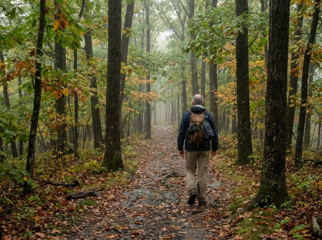
Every source covering this region treats the calendar as scattered trivia. One mentions the orange rule, another notes that Ricketts Glen shuts to hikers in winter, and nobody puts the year together into a planning decision. But the year is the planning decision. Here’s the whole thing in one place.
Spring: Water High, Ground Soft, Ticks Waking Up
May is the window for the waterfall trails, and it isn’t close. Spring runoff has the falls at Ricketts Glen running at real volume instead of the polite trickle you’ll find in August, and the mountain laurel is blooming through the understory at the same time. If you only hike Ricketts Glen once, hike it in May.
Ridge tread in early spring is a different story. Blocky sandstone holds water in the gaps between blocks long after the surrounding ground has drained, so what looks like a dry rocky trail is a series of small hidden puddles between stones. Waterproof boots matter more in April than in July here.
Tick season is already running by late May. Don’t wait for summer to start the protocol, because the onset data says the spike begins while it still feels like spring.
Summer: Gorge Humidity and Peak Tick Risk
The gorges hold air. At Ricketts Glen in July, the temperature on the plateau at the trailhead and the temperature down in the glen are not the same number, and the humidity difference is larger than the temperature difference. You descend into still, wet, heavy air and then climb back out of it carrying whatever water you brought down.
Summer is also the peak of the Lyme onset window, late May through early August. Everything in the tick section applies double from June through the first week of August, and that’s the stretch where the two-layer protocol stops being optional and starts being the reason you enjoy the season.
Fall: The Foliage Window Is About a Week
Peak fall foliage in Central PA typically lands October 8 to 14. That’s a one-week target, not a vague October intention, and it’s the single most useful date in this entire article for anyone planning a drive. Book around it.
The ridges color first and the valleys follow, so if you’re a few days early, go high, and if you’re a few days late, drop down. October is also when archery season starts overlapping trail use in parts of the region. The mandatory orange window hasn’t opened yet, but the awareness should have, and a bright layer in October costs you nothing.
Late Fall and Winter: The Orange Window and Ice
November 15 through December 15 is the mandatory blaze orange stretch on Game Lands, and it doesn’t care why you’re out there. Plan for it or plan around it, but don’t discover it midtrail.
Winter ends the conversation about the Falls Trail as a normal walk. Those wet stone steps freeze into a continuous ice staircase alongside frozen falls, and DCNR closes the trail for the season to everyone except properly equipped ice climbers and hikers, who have to sign in and out at the park office first.
Minimum kit is crampons, ice axe and rope. Go look at the falls from the top. Don’t try to walk down it in boots.
The rest of the region hikes well in winter. Bare trees open up ridge views that summer foliage walls off, the tick problem is gone, and the rock fields are easier to read without leaf cover hiding the gaps. If you’d rather trade the orange window for somewhere with straightforward off-season access, the quiet-season pick a few hours northeast is worth the drive.
The Short Version
Read the trail surface, not just the mileage. Tuscarora sandstone is what makes this region hard, and no elevation profile will ever tell you about it.
Know which agency owns the ground you’re standing on before you pitch a tent or walk a rail-trail in late November. State parks and State Game Lands look identical from the tread and they are not the same rulebook.
Treat your footwear for ticks before the drive, not after the hike. Shoes and socks, first, the night before.
Pick one trail from the sorted list above that matches what you actually want out of a day, check whether any part of it crosses Game Lands, and go. Central PA rewards the hiker who spent five minutes at the kitchen table more than most regions do, because so much of what matters here is invisible from the trailhead. If you’re planning further afield in the same range of ridges and gorges, the wider US East and Appalachia hiking guide covers the terrain and access patterns that carry across state lines.
Frequently Asked Questions
01What are some of the best hikes in Central PA?
The standouts are Ricketts Glen’s Falls Trail for waterfalls, Hawk Rock above Duncannon for a short hard climb, and Stony Valley Rail Trail for flat distance. Sort by what you want from the day rather than by anyone’s ranking, since these three deliver completely different experiences.
02What is the best hike in Pennsylvania?
Ricketts Glen’s Falls Trail is the most-cited answer statewide: 21 named waterfalls across a 7.2-mile loop. Best depends on whether you want scenery, distance, or difficulty, and the wet stone steps make this one harder than its stats suggest.
03Are there mountains in Central PA?
Yes, though they run as long parallel ridges of the Ridge-and-Valley Appalachians rather than isolated peaks. They top out lower than western ranges but still deliver real climbs, like Hawk Rock’s 700-plus feet of gain packed into about a mile.
04Do I need blaze orange to hike in Central PA?
On State Game Lands between November 15 and December 15, yes: 250 square inches of fluorescent orange on head, chest and back, hikers included. State Parks do not require it, but trails cross between the two with no signage at the boundary.
05How bad are ticks in Central PA?
Bad enough that it should change how you dress. Pennsylvania logged 18,747 confirmed Lyme cases in 2025 and ranks in the national top 10 per capita, with 61.2% of cases beginning between late May and early August.
I've spent more than a decade researching hiking gear and trail technique. I read the specs, the forum threads and the long-term reviews, and every pick here comes with what it gets wrong.
End of the trail
You read every mile of this one. Here's where the trail goes next.