

You google Kaaterskill Falls hiking trail, click the page Google puts near the top, and the first thing on it is a banner telling you those directions are out of date. That is the planning experience for this hike in 2026. In the Catskill Mountains of the Hudson Valley, four trailhead names float around online, one has been closed for years, and almost nobody separates the two different trips you can take from the same lot: the short walk to the fenced platform, or the stone-step descent to the base. Here is which trailhead matches your goal, what the base costs you in stone steps, and why the serious risk here has nothing to do with the hiking being hard.
Which Kaaterskill Falls Hiking Trail Is Actually Yours

The problem here is not the terrain. It is that four trailhead names circulate online, three are legal, and every guide assumes you know which is which. It wants the same trailhead-first approach we use for Sam’s Point: sort the access points first, and the rest of the day plans itself.
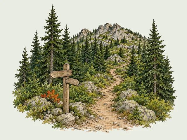
All four, then: Laurel House Road, Schutt Road, North-South Lake, and the old Molly Smith Lot on Route 23A. The first three are open. The fourth has not been for years.

Laurel House Road — The Short Answer for Most Visitors
If you read one line of this article, read this one: Laurel House Road is the trailhead you want. Roughly 1.6 to 1.8 miles round trip, about 360 to 400 feet of elevation gain, one to one and a half hours moving, and it puts you on the fenced viewing platform above the falls without a single sketchy move.
That is the version that works with a six-year-old, with a knee that complains on stairs, and with a two-hour window before dinner in Tannersville. Most people who show up here want this trip and do not know it has a name.
When to Use Schutt Road and South Lake Instead
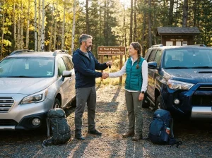
Schutt Road is the other legal lot, feeding the same trail network. Its reason to exist is that Laurel House fills up. If you crest the hill and see cars stacked there, Schutt Road is your fallback, not a failure.
North-South Lake is a different decision: you park there when the falls are one stop on a bigger day. From there you are on the Escarpment Trail with Inspiration Point in play. The long way in, worth it if the mileage is the point.
The Route 23A Lot Is Closed and Has Been for Years
The Molly Smith Lot on Route 23A is permanently closed by NYSDEC. Not seasonally. Not for repairs. That parking lot closure is permanent, because the walk from it happened on a shoulderless curve with fast traffic and no sightlines.
Current access status sits on the Kaaterskill Wild Forest unit page, maintained by NYSDEC.
The outdated directions have not gone anywhere, which is why this matters. A page ranking in Google’s top five for this search is built entirely around that closed lower trailhead. The bad day starts the same way every time: someone drives to 23A on old beta, finds no lot, and improvises a roadside park on a blind curve rather than turning around.
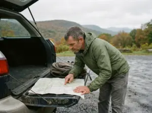
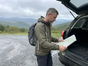
Screenshot your directions to Laurel House Road before you leave home, and check the date on whatever page you got them from. Cell signal in the Clove is thin, and re-routing on a mountain road with a car behind you is how people end up turning toward 23A.
The Upper Platform Hike in Detail

The platform is not the consolation prize. It is a fenced overlook above a 260-foot two-tiered waterfall, on a well-built trail a normal person in normal shoes walks in under an hour.
What the Trail from Laurel House Road Is Really Like
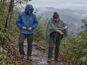
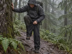
Shaded, north-facing, hemlock forest the whole way. In practice that means water: seeps across the tread, small crossings that never fully dry, rock that stays damp into August after a week of clear forecasts.
The grade is gentle and the tread is maintained, so the hiking asks little of you. The slippery rock is what asks. People arrive in smooth-soled sneakers because the map says 1.6 miles, then spend the walk doing that stiff-legged shuffle you do when you do not trust your feet.
What You See from the Platform (and What You Don’t)
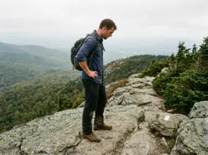
You are looking out from above the falls, not up at them. The observation platform sits at the end of an ADA-compliant trail and is fenced, the drop-away view down the Kaaterskill Clove is genuinely big, and the water goes over the lip a few yards from where you stand.
What you do not get is the postcard. The classic Kaaterskill image, the upper falls and lower falls stacked over the plunge pool, is shot from the base looking up.
Who Should Stop Here
Families with small kids, anyone with a joint that complains on descending stairs, anyone on a schedule. Stopping here is a legitimate hike, not a shortened one: a 260-foot waterfall on a two-hour round trip in the Catskill Park Forest Preserve, and you can still walk normally tomorrow. If that suits you, another New York waterfall hike where the trailhead choice drives the whole day is a natural next weekend.
Going Down to the Base and Climbing Back Up

The fork this article exists to resolve happens at the platform, not in the parking lot. Kaaterskill is one trailhead that gives you two genuinely different hikes, and the second starts the moment you walk past the fence at the upper trailhead and head down.
The walk down feels easy. Everyone says that. Then you turn around.
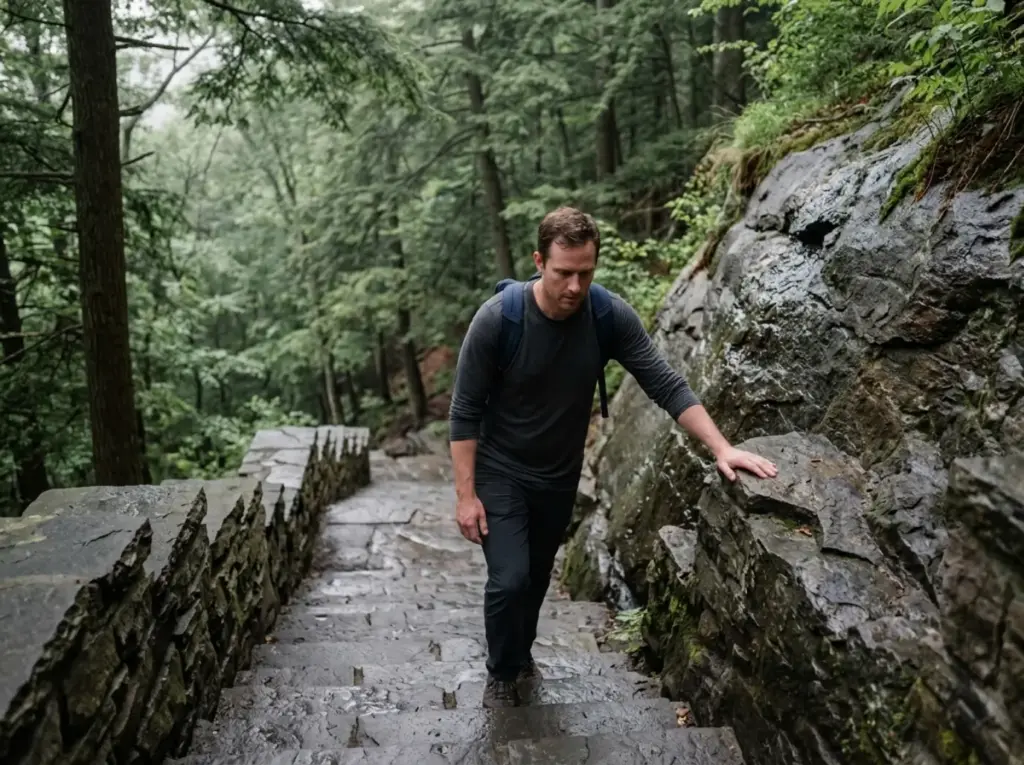
How Many Stone Steps There Actually Are
Roughly 180 stone steps one way, broken by short switchbacks where the slope eases. Trip reports land between 300 and 400-plus once people count both directions, and nobody’s count matches anybody else’s because you lose track around 60 and start again at the next landing.
Below the platform you drop over 300 feet of additional elevation, and every foot comes back. Those are the two numbers that decide whether this is the right trip for you today.

Why the Climb Back Up Is the Real Hike
Descending stone steps is a balance problem. Ascending them is a cardio problem, and a bigger one than 300 feet sounds. The steps are irregular, some tall enough to be a real step-up, and wet stone steps in permanent shade never grip the way a dry stair does.
Treat the return as the workout and the day goes fine. Treat it as a formality and you will be the group sitting at the halfway landing with your hands on your knees.
Decide about the base at the platform, not at the bottom. Look at the first flight of steps, look at whoever you brought, and call it there. The staircase is a commitment in both directions, and the worst place to learn that is at the plunge pool with everyone tired and the light going.
The Photo You Came For
The base of the falls, downstream of Bastion Falls on the same creek, is where the two-tier shot lives: the full 260 feet of relief, both drops stacked, the plunge pool in the foreground, and the amphitheater of rock that made Thomas Cole and the Hudson River School paint this place obsessively in the 1800s.
That is the entire argument for going down. It is a good argument. Just know you are buying it with the stairs.
The Real Reason Kaaterskill Falls Has a Fatality Record

This is not a technical trail. That sentence is the whole problem. Nobody gets into trouble here because the hiking was hard, and the gap between how easy the walking feels and what the edge actually is deserves a straight explanation rather than another “stay on trail” line.
What the Fatality Record Actually Shows
At least eight fatalities have occurred at or near the falls since 1992, six clustered in roughly the last ten years. Only one person is known to have survived going over the falls since the 1800s. That is a serious record for a trail a family walks in sneakers.
Read the pattern, not the total. The cluster is recent, and it lines up with the era of phone cameras and the crowds that follow a place going viral. That points straight at the mechanism.
The Few Feet That Matter
The mechanism is not off-trail wandering, and it is not a technical fall on a scramble. It is stepping a few feet off the platform or trail edge for a better angle, phone up, looking at a screen instead of at the rock under your boots.
That rock is wet, exposed and loose, and it gives no warning before it goes. It is the same edge-proximity problem that catches people on Breakneck Ridge: a trail that reads as casual, an edge that is not, and a few seconds when your attention is entirely inside a viewfinder. The fix is embarrassingly simple, which is why it is worth saying flatly. Take the photo from behind the fence.
The Six-Foot Rule Exists for a Reason
Since August 2018, the six-foot setback rule has been a legal requirement here, not a posted suggestion: stay at least that far back from any cliff edge. Same with the ban on entering the water within 150 feet of the top of the falls. Both are current NYSDEC rules, laid out on the Catskills Visitor Center’s official Kaaterskill Falls visitor guide.
Six feet sounds arbitrary until you see what the rule is buying. It is not protecting you from a slip at the lip. It is keeping your weight off the fractured, undercut rock near the edge that looks solid and is not.
The Rules That Actually Get Enforced Here

Every popular site has rules nobody reads. Kaaterskill has three that will rearrange your plans, and finding out at the trailhead is worse than finding out now. It runs on the same access-rules-by-area setup at Minnewaska: regulations specific to the area, not state-park boilerplate.
The Sunrise and Sunset Window
Kaaterskill Clove closes 30 minutes before sunrise and 30 minutes after sunset. That window is enforced, and it quietly ends the photography trip a lot of people drive two hours for. Check the exact times before you commit to the drive.
Water Access and the 150-Foot Line
Entering the water within 150 feet of the top of the falls is banned outright. No wading in for the angle, no cooling off at the lip. It is the most-asked question in trip reports about this place, and the answer has no exception in it.
Carry In, Carry Out — There Are No Bins
Not a single trash can on the property. This is carry-in carry-out in its strictest form, everything you bring in comes back out with you, and the littering fine runs $250. No fires, stoves, alcohol, generators or music either.
Pack a dedicated bag and use it for food scraps too: an apple core on thin-soil, exposed rock is not composting into anything, it is litter for the next four hundred people who walk past it. Leave No Trace is not an add-on here, it is the operating rule.
When to Go — Crowds, Parking and Water Flow

Two timing problems get mashed together in almost every guide to this place. One is whether you can park. The other is whether there is any water coming over the falls when you get there. Different answers, and getting one right does not help with the other.
Parking Fills Earlier Than You Think
The lots typically fill by 10am on weekends, earlier on holidays, and stay full until evening. Be parked before 9am or switch to weekday hiking. There is no third option.
The math is straightforward: a 200,000-plus visitor per year site with a very small footprint of legal parking, and closing the 23A lot removed capacity rather than adding it. The arithmetic on how start time shifts with the season is worth running before you set an alarm.
Check the Rain Before You Drive Out
Here is what nobody tells you until you have already made the drive: the falls can be a trickle. The drainage feeding Spruce Creek and Kaaterskill Creek above the lip is small, so a late-summer dry spell visibly starves the flow. You get a 260-foot cliff with a wet stripe down it.
Before a July or August trip, look at what fell in the past week rather than the forecast for the day you are going. A storm three days ago matters more than sun on the drive out. That is standard for waterfall hikes worth planning around rainfall, and this one punishes ignoring it more than most because of that small catchment.
Season by Season
Spring snowmelt and the days right after a real storm are when this waterfall roars. Summer is the crowd peak and the flow low point at once, which is an unfortunate pairing. Fall foliage brings everybody back regardless of water volume, and parking gets worse than summer for about three weekends. The shoulder season either side of it is the quiet window, though mud season in spring makes the tread sloppier than the photos suggest.
Winter changes the trail more than it changes the falls. The water partially freezes into something worth seeing, and winter ice turns the stone steps into a different problem entirely.
Footwear and Traction for Wet Stone

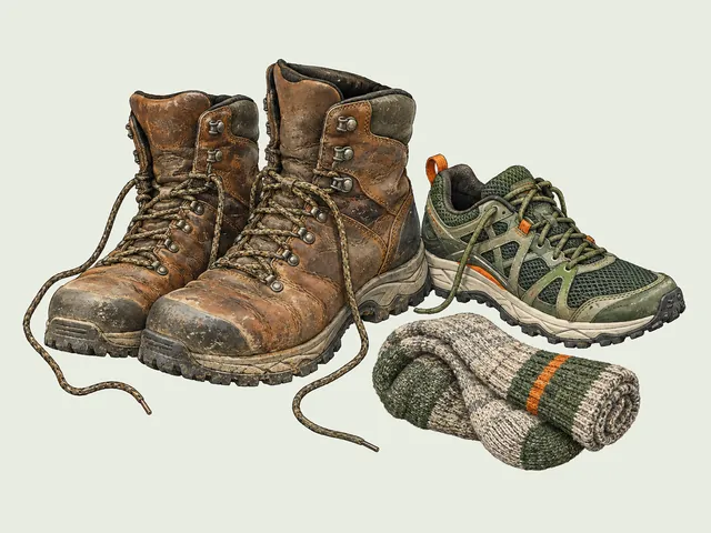
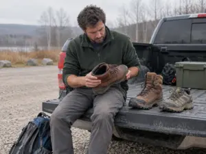
The most common preventable problem on this trail is footwear. People read “1.6 miles, easy” and wear whatever was by the door. Flip-flops turn up here.
Why Grip Beats Ankle Support Here
The terrain is wet stone and packed dirt. No talus, no scree, no sustained side-hill where your ankle does structural work. What you need is rubber that bites damp rock, a different property from stiffness and one most people never check.
A trail shoe with a real lugged outsole beats smooth sneakers on grip and heavy hiking boots on feel, because on wet stone you want to sense what is under your foot. The Merrell Moab 3 GTX Low-Cut is the category example most readers already recognize. Whatever you own, turn it over before you leave: tread worn smooth in the middle makes it a parking-lot shoe. It is the wet-rock grip problem on the Shawangunk Ridge in a different costume.
Winter Turns the Stone Steps Into a Different Trail
From December through March, often into April in the shade, those stone steps ice over. The staircase is north-facing, permanently damp, and holds a glaze long after the road is bare and dry. A traction device stops being a preference at that point. Somebody in plain boots on iced stone steps is not hiking, they are negotiating.
Microspikes vs Heavier Traction
Microspikes are the right tool. Iced stone steps and frozen creek crossings are what they were designed for: enough steel to bite glazed rock, flexible enough to walk normally in, quick enough to pull on that you actually use them. Crampons solve sustained hard snow on steep alpine ground and are clumsy on a staircase. If the distinction is fuzzy, when microspikes are enough and when they aren’t sorts it out, and how Kahtoola and Yaktrax actually compare covers the tier below.
The Kahtoola MICROspikes are the mid-range pick this community keeps landing on: 12 stainless-steel spikes on a TPE harness rated to -22°F. What beats a coil-style device here is spike length. Coils skate on refrozen glaze; actual points punch through it.
Put traction on at the car in winter, not at the top of the staircase. Fitting spikes over cold boots in gloves, standing on ice at the edge of a drop-off, is the fumble nobody plans for.
What to Pack for a Half Day at the Falls

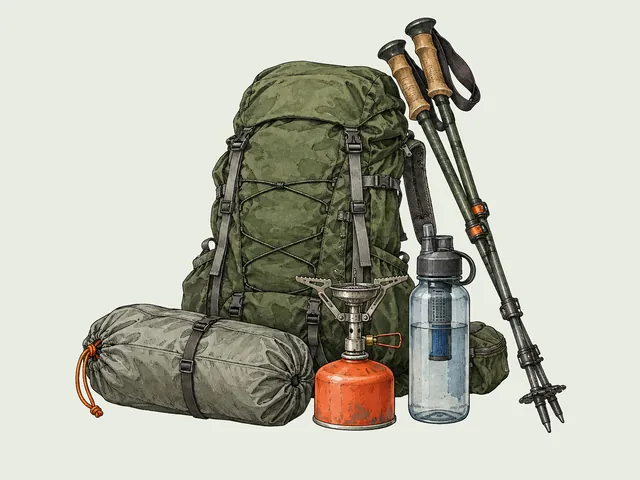
Half-day outing, not an expedition, so the packing problem is not carrying enough. It is carrying the four things that change the day and leaving the rest in the car. The same discipline avoids the packing mistakes that ruin a Storm King day: short hikes are where people underpack the items that matter.
Water: There Is None on the Trail
No water sources, no fountain at the lot, nothing on trail. Carry your own. 32 oz per person is the volume that keeps coming up for this trip, about right once you factor in the climb back from the base on a warm day.
The Hydro Flask 32 oz Wide Mouth Insulated Water Bottle is the premium way to solve that: insulated stainless steel, so what you filled at 7am is still cold at the plunge pool. Any 24 to 32 oz BPA-free bottle does the job too. Just bring the volume.
A Rain Layer Even on a Clear Forecast
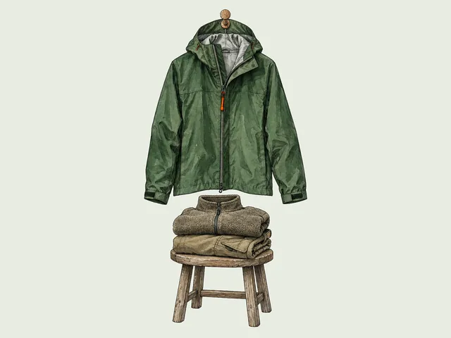
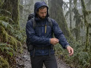
The layer people wish they had brought is the one they left in the car because the parking lot was sunny. The trail is shaded and north-facing, the Clove holds cold air, and Catskills weather turns over fast enough that a clear forecast is a suggestion.
A packable waterproof shell handles it and weighs nothing. The The North Face Venture 2 Waterproof Hooded Rain Jacket (men’s · women’s) is the mid-range default: waterproof, breathable, hooded, small enough stuffed that you stop deciding whether to bring it.
Pack and Map
A full backpacking pack on a 1.6-mile round trip looks like what it is. The ZOMAKE 25L Ultra Lightweight Packable Backpack is the right size class of daypack and the budget-friendly one: 25 liters holds water, a shell, snacks and a first aid kit, and folds into its own pocket afterward.
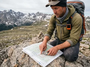
Carry a real map too. From Haines Falls this network ties into the Escarpment Trail and the Kaaterskill Rail Trail, so a wrong turn puts you on a much longer day, and phone signal in the Clove is unreliable exactly where you would want it. The Catskill Trails Map, 2023 (New York-New Jersey Trail Conference) from the NY-NJ Trail Conference is printed on tear-resistant Tyvek, covers 420-plus miles in its 13th edition, and survives a wet pocket, which paper does not.
The Call You Make Before You Drive
Laurel House Road and the platform is the right answer for most people. Make that call at home, not in the parking lot with three cars waiting behind you.
The base is worth it for the photo, and the roughly 180 stone steps back up are the actual hike. Budget for them the way you would budget for a climb, because that is what they are.
The trail is not technical. The edge is. Stay six feet back, take the shot from behind the fence, and the rest of this hike takes care of itself.
Check the past week’s rainfall before you commit to a summer trip, pick your trailhead by what you want out of the day rather than by which name you saw first, and be parked before nine.
Frequently Asked Questions
01How long of a hike is Kaaterskill Falls?
From Laurel House Road to the upper viewing platform it is roughly 1.6 to 1.8 miles round trip with about 360 to 400 feet of elevation gain, taking most people one to one and a half hours. Continuing to the base adds the stone staircase and over 300 feet of additional elevation change.
02Is Kaaterskill Falls a difficult hike?
The trail itself is not technically difficult, and the walk to the platform is short and well built. What makes it demanding is the stone-step climb back up from the base, plus rock that stays wet most of the year, so grip and pacing matter more than fitness.
03What is the easiest trail to Kaaterskill Falls?
Laurel House Road is the easiest legal approach, reaching the ADA-compliant upper viewing platform on a short, well-maintained trail. The old Molly Smith Lot on Route 23A is permanently closed, so any guide pointing you there is out of date.
04How many steps are there at Kaaterskill Falls?
The descent from the platform to the base runs roughly 180 stone steps one way, and hikers commonly report 300 to 400-plus combined once they count both directions. They are stone, they stay damp, and they are why the return takes longer than the walk down.
05Can you swim at the base of Kaaterskill Falls?
No. Entering the water within 150 feet of the top of the falls is banned, and the area is strictly day-use with no fires, alcohol or music permitted. The rule is enforced, and it comes up in trip reports constantly.
I've spent more than a decade researching hiking gear and trail technique. I read the specs, the forum threads and the long-term reviews, and every pick here comes with what it gets wrong.
End of the trail
You read every mile of this one. Here's where the trail goes next.