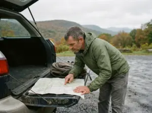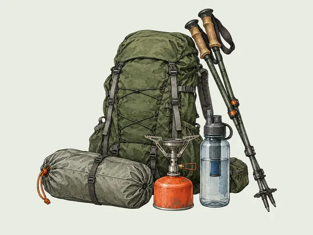

You have three tabs open and every one says the same word. Buck Mountain: moderate. Cat Mountain: moderate. One is under four miles round trip, the other closer to seven with steep rocky sections that chew up your afternoon.
Anyone who works through the Lake George Twelve figures out fast that the label has almost nothing to do with what your legs feel at mile three. So here are nine hiking trails near Lake George in the Adirondack Park, sorted by what they actually cost you, plus the parking, trail conditions and dog rules that ruin more days here than the terrain does.
How to Read a Lake George Trail Rating Before You Commit
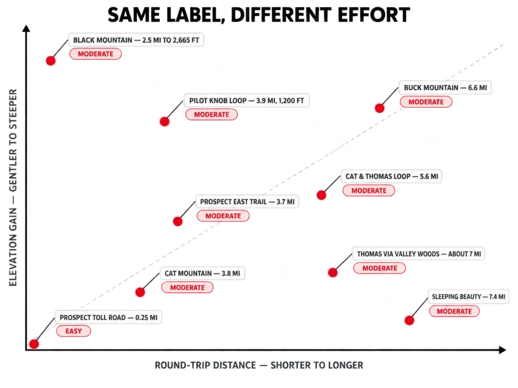
Start with the two trails that expose the problem. Cat Mountain runs about 3.8 miles round trip on the short approach from Edgecomb Pond Road, and Buck Mountain runs 6.6 miles round trip with steep, rocky stretches near the top.
Both wear the same moderate hike tag on the big aggregators, and that tag hides a two-hour gap in your day. Once you know how trail difficulty ratings actually get assigned, you stop trusting the word.
Read the ratio instead. Elevation gain divided by mileage tells you what the trail asks of your lungs; total distance tells you what it asks of your feet. Two different bills, and a single label collects neither.
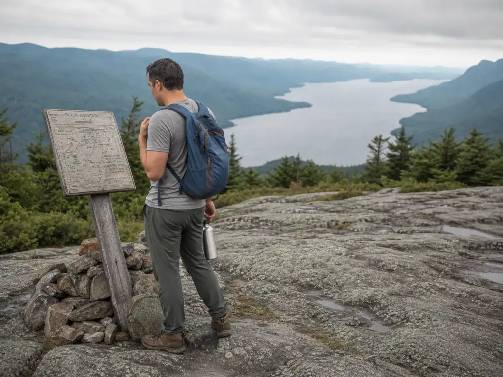
Run the math on the local peaks and the tiers sort themselves out. Black Mountain climbs to a 2,665 ft summit in 2.5 miles from the Pike Brook Trailhead, the steepest effort-per-mile trail in the area by a clear margin. Sleeping Beauty is the mirror image: 7.4 miles, but graded gently enough that most people finish in three and a half to four hours. Long is not the same as brutal.
Pilot Knob’s Orange+Blue Loop sits in the honest middle, around 3.9 miles with roughly 1,200 feet of gain. Real climbing, half the mileage of Buck. My rough rule of thumb: somewhere around 300 feet of gain per mile is a trail you can hold a conversation on, and once it climbs past double that, the conversation stops on its own.
Two more things change the number in your head. A loop trail feels shorter than an out-and-back trail of the same distance because the scenery keeps changing, and an out-and-back hands you the descent you already know. And grade type matters as much as grade size: a trail with switchbacks spends distance to buy you a gentler angle, while the short rock scrambles near the top of Buck and Black cost you time and hands rather than miles.
Budget your day in hours, not miles, and give the descent its own slot. On the rocky Adirondack trails you come down slower than you went up, because every step is a small decision about where to put your foot. Hikers who plan a five-hour day around distance alone are the ones jogging the last mile back to the car in fading light.
None of this is unique to the Adirondacks, either. The same question comes up on Bear Mountain, where the difficulty label hides how much the last stretch actually asks of you, and readers arrive with the same mismatch between the word on the screen and the grade under their boots.
The Easy Trails That Still Earn a View
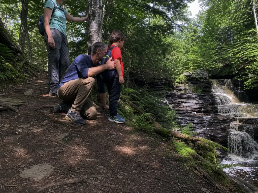
Easy usually means a flat loop with nothing at the end. Around Lake George it doesn’t have to. With two spare hours, a cranky knee, or a kid who negotiates, there are short options here with a real payoff at the far end.
The toll road up Prospect Mountain is the honest starting point, and locals call it that rather than by its official name, the Veterans Memorial Highway. Ten dollars a car, open May 23 through November 11 in 2026, and the upper lot sits a little below the top with a quarter-mile walk to the summit view. That’s the drive-up option for anyone who can’t climb or doesn’t want to today.
Shelving Rock Falls gives you the water without the climb, assuming the access road is open, which is a real assumption in spring. Inman Pond is the quiet one nobody writes about: a genuinely easy hike, family-friendly trail, dog-friendly, and almost invisible on the aggregators. Both are worth knowing if you’re planning a hike around a waterfall.
One honest note about the word easy here. It still means roots, loose stone, and footing that shifts on the descent. Trail shoes over sneakers, every time. And if you’re weighing what a young hiker can handle, how far kids can realistically hike at each age is a better filter than the difficulty label, because the limiting factor is rarely the grade.
Here’s the framing nobody else puts plainly: the toll road and the Prospect Mountain East Trail end at the same view. One costs ten dollars. The other costs 3.7 miles of rocky climbing and nothing at all.
The Moderate Middle Where Most Hikers Should Start
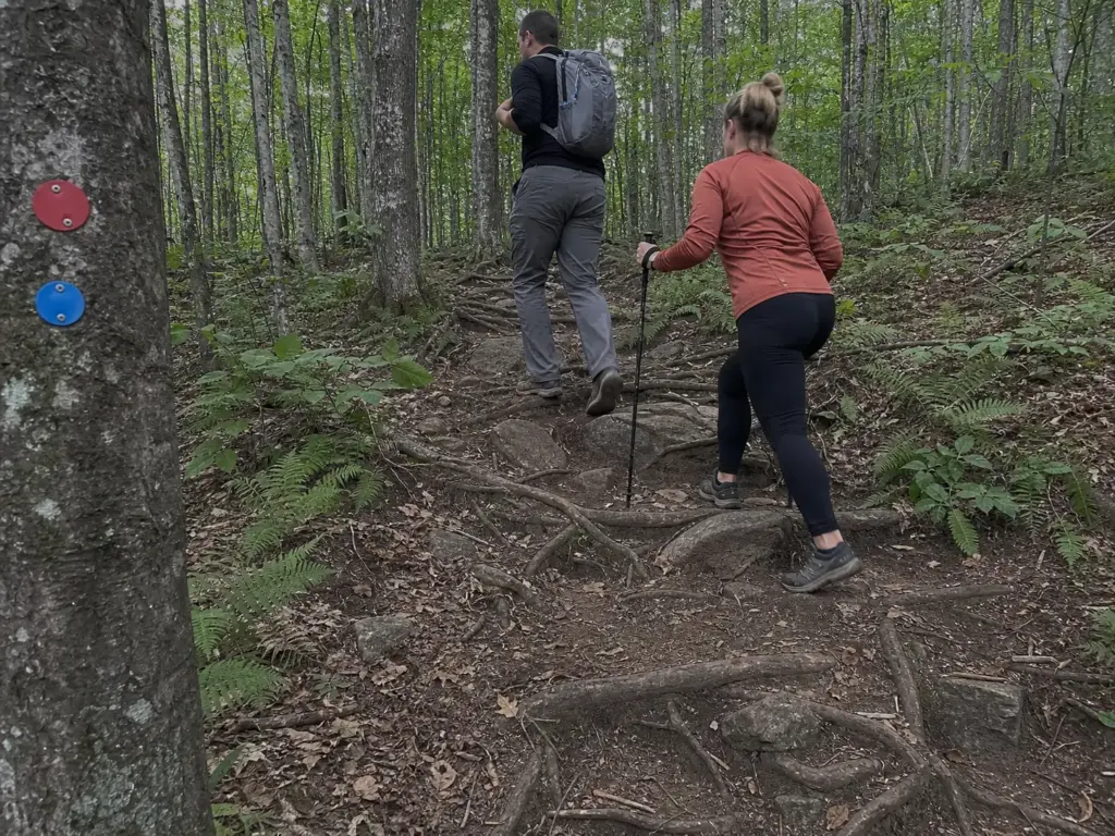
This is where most Lake George visitors actually belong, and it’s the tier the aggregator labels flatten worst. Four trails live here, and each asks for something different.
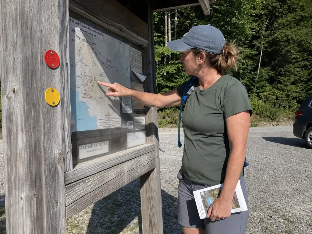
Cat Mountain from Edgecomb Pond Road is 1.9 miles to the summit, following the red trail and then the blue trail, roughly 3.8 miles round trip. That’s the short way, the one most people mean when they say they hiked Cat, and a well-marked trail the whole distance. The Cat & Thomas Mountains Loop is the other version: 5.6 miles for both summits without backtracking, which is half a day rather than an after-lunch stroll.
Then there’s the trailhead trap. From the Valley Woods Road lot it’s 1.4 miles to Thomas, then another 2.0 miles to Cat on the yellow trail, landing you around 7 miles round trip. Two lots, two completely different days, and the names look interchangeable until you’re standing at the wrong one with a lunch packed for three hours. The Lake George Land Conservancy’s trail page for Cat & Thomas Mountains lays out both approaches with the mileages.
Pilot Knob’s Orange+Blue Loop is the best mileage-to-payoff trade in this tier. Under four miles, a waterfall on the way, lake views at the top, enough climb that you’ve earned lunch. If a friend asked for one trail in this range, that’s the one I’d name.
Prospect Mountain East Trail rounds out the middle at 3.7 miles on the Red Loop, a rocky ascent to the summit the toll road serves. Topping out sweaty next to people who parked is a strange feeling, and I think that’s part of the appeal. If you’re planning a wider New York trip, Storm King in the Hudson Highlands delivers a similar climb-to-view ratio a few hours south.
The Hard Climbs and What They Actually Cost You
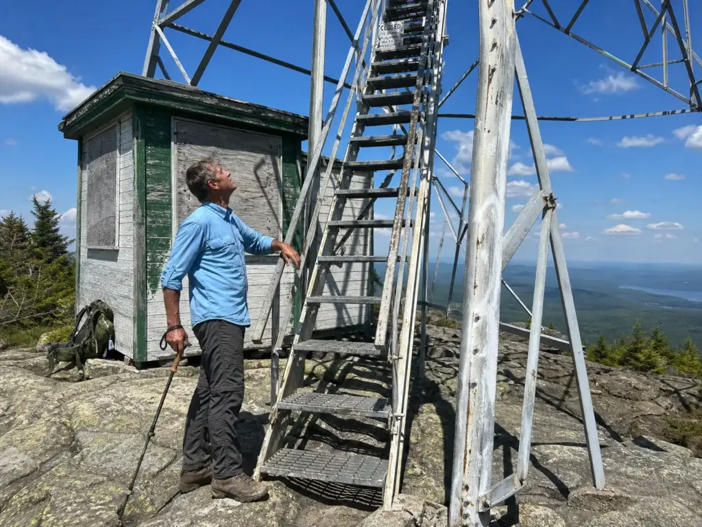
Nobody regrets Black Mountain. Plenty of people underestimate it, and they do it because the mileage looks polite on paper.
It’s 2.5 miles one way from the Pike Brook Trailhead to a 2,665 ft summit, the high point of the entire Lake George Wild Forest. Two and a half miles reads like an hour. It is not an hour. That grade puts your heart rate somewhere it doesn’t usually live, and the trail keeps climbing right up to the point where you stop wondering how much further and start counting steps between rests.
Now the part that catches people. There’s a historic fire tower and observer’s cabin at the summit, and every trail description in existence mentions it. The tower is not open to climb.
Hikers who save the tower as the reward crest the summit, look up, and feel the day deflate a little. The actual payoff is the wide-open summit itself, with panoramic views down the length of the lake that earn the whole climb. Go up knowing that and you’ll come down happy.
Buck Mountain is the other heavyweight: 6.6 miles round trip with a few steep, rocky sections. Four to five hours minimum, and that’s moving well. Sleeping Beauty is 7.4 miles at three and a half to four hours, with a trailhead about 40 minutes from Lake George Village. Either one is a full day hike, not an afternoon, and both count as a hard hike whatever the label says.
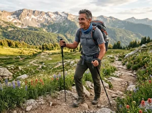
The rocky trails collect their toll on the way down, not on the way up. On Black and on the Prospect East route, trekking poles do more for you descending than climbing, because they take the shock off your knees on the loose stone steps. If your quads are shaking at the trailhead, that’s the descent talking, not the summit.
If the headline peaks feel like more day than you want to spend, that instinct is usually right, and it applies well beyond this lake. The same logic drives people toward quieter alternatives to the headline peaks in other parts of New York, where the parking is calmer and the trail is yours for stretches at a time.
East Side or West Side and What the Drive Really Costs
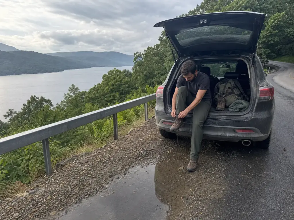
Lake George is long. That’s the fact that reorganizes your whole day, because a trailhead that looks close on the map can be forty minutes of shoreline road away, and shoreline road is not highway.
The west side of the lake, meaning the Lake George Village and Bolton Landing shore, holds Cat & Thomas, Prospect Mountain and The Pinnacle. Closest to most lodging, and the ones you can hit on a whim after a slow breakfast. Cat & Thomas sits on a nature preserve rather than state land, which is why its trail page reads differently from the DEC ones.
The east side of the lake is where the big climbs live: Buck, Sleeping Beauty, Black Mountain, Shelving Rock Falls and Pilot Knob, reached through the Shelving Rock, Hogtown and Pike Brook access points. The NYS DEC’s official Lake George Wild Forest page covers the boundaries and access information, which matters more here because the roads are less obvious and the signage is thinner.
Sleeping Beauty’s trailhead alone is about 40 minutes from the village. Count both directions and that’s an hour and a half in the car before the hike starts. The east-side roads are also the ones that close seasonally, so keep a west-side backup in mind before you turn the key.
Pick a side and commit to it. Pair a short west-side hike with a lake afternoon, or give the whole day to one east-side summit. People who try to do both sides in a single day end up with a driving tour that happens to include some walking, and they get back too tired to enjoy either one.
Trailhead Parking and the Lots That Fill First
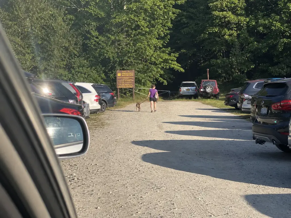
The hike starts when you find parking. On a summer Saturday around Lake George, the lot is the bottleneck, not the trail, and no amount of fitness helps you with a full lot and a shoulder you can’t legally park on.
Prospect Mountain draws the heaviest foot traffic on this list. The toll road doesn’t open until 10am, and pressure on the hikers’ lot builds through the morning as the day-trip crowd works its way north. Get there before mid-morning and the problem evaporates. Show up at midday in July and you’re circling.
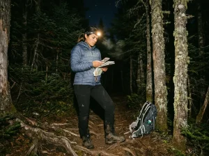
A sunrise hike here is the cleanest version of this trail. A sunset hike trades the empty lot for a headlamp descent on rocky ground, which is a fair swap only if you’ve walked it in daylight first.
Cat & Thomas has the parking situation that costs people the most, and it isn’t about capacity. Two separate lots, Edgecomb Pond Road and Valley Woods Road, serve different routes to the same summit. Pull into the wrong one and your 3.8-mile afternoon becomes a 7-mile commitment before you’ve taken a step.
Save the parking coordinates for the specific trailhead rather than the mountain name, because a search on the peak drops you at whichever access point the map decides is closest. GPS coordinates beat a place name every time out here. Check the lot and the drive time the night before, not in the car with one bar of signal. Once you’re walking, the trail markers do the rest: these routes run on colored plastic discs nailed to trunks, and the color in the description is the color you follow.
Sleeping Beauty and Buck Mountain fill earlier on weekends than their remote feel suggests, because a destination trailhead concentrates arrivals in a narrow window. The Hogtown lot is your fallback for the Shelving Rock area whenever that access road is gated.
Lake George is still forgiving compared to the rest of New York on this front. Nothing here runs a reservation system yet, unlike Sam’s Point down in the Shawangunks, where weekend parking is a booked session rather than a first-come lot. Show up early enough and these trailheads still work the old way.
The broader pattern is boring and completely reliable. A Tuesday beats a Saturday at every one of these lots, and shoulder season beats both by more.
If your schedule has any give, shifting your trip to the shoulder season buys emptier trails, cooler climbing and parking you don’t have to think about. The trails don’t get worse in late September. The crowd just leaves.
The Seasonal Rules That Close Trails and Gates
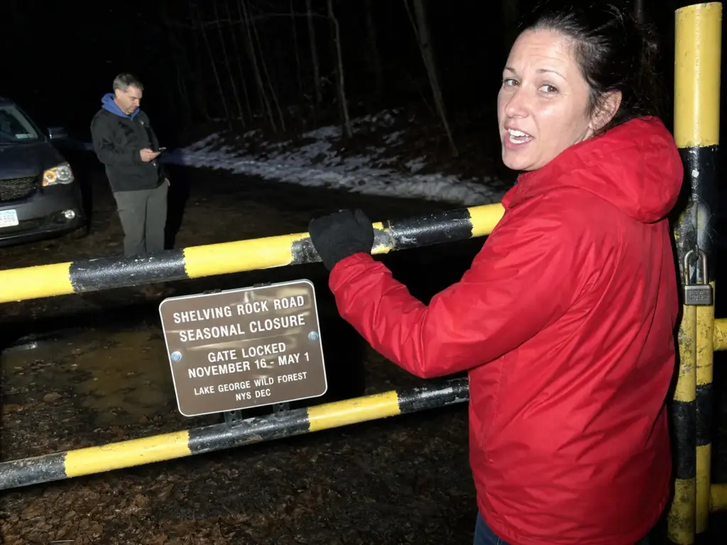
Mud season, hunting season and ice each shut something down around Lake George, and every one of them is findable in advance. The people who get burned are the ones who didn’t look.
Shelving Rock Road is regularly gated during mud season in early spring. The car is loaded, the waterfall hike is planned, and the gate is closed. What happens next is a hike in from the Hogtown lot, which adds well over a mile of walking on the old logging road at each end of what was supposed to be a gentle outing.
It’s a common enough spring story that checking road status is the first thing local hikers do in April. The DEC’s Adirondack backcountry planning guidance is where seasonal conditions and closures get posted.
Hunting is permitted across Lake George Wild Forest under NYS regulations, the same as on most of the Adirondack Forest Preserve, including on Cat & Thomas Mountains, and it isn’t restricted to specially posted parcels. That’s the part that surprises visitors. Both the DEC and the Land Conservancy recommend bright or blaze orange colors and hiking in groups during the season. There’s more to it than the color of your jacket, though, if you want to understand hiking through hunting season without becoming a statistic.
Spring has a sequencing rule worth knowing. The low, lake-adjacent trails firm up first. Pilot Knob and the short Cat Mountain approach are walkable while the high summits are still ankle-deep and shedding meltwater, and a water crossing that’s a dry hop in August can be a knee-deep wade in April. Start the season down low and work upward as the ground dries, and you’ll spend less time postholing through rotten snow in a place that looked dry from the parking lot.
Two calendar items round it out. The Prospect Mountain toll road runs a fixed season, May 23 to November 11 in 2026, and outside those dates the summit is hike-only.
And winter hiking on the steep rocky trails, especially Black and Prospect East, is traction-device terrain, not boots-only terrain. Bare boots on frozen Adirondack stone turn a good day into a slow, careful crawl back down. The gentler lakeside routes are the ones that take snowshoeing and cross-country skiing well once the snow settles in.
Hiking Lake George With a Dog
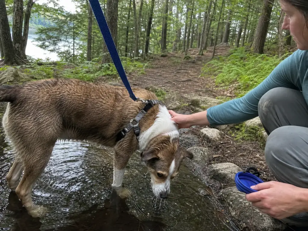
Every other guide buries this in a footnote under each trail. For a lot of readers the dog is the first filter, not the last, so here it is straight.
Leashed dogs are permitted on Lake George Wild Forest trails generally, and that’s confirmed specifically for Black Mountain. So the answer to the basic question is yes, with a condition that has more teeth than most people realize.
Off-leash is a ticketable DEC offense. Not a posted-sign courtesy, not a strongly worded request. Forest Rangers enforce it, and they write tickets.
That matters because plenty of well-meaning owners treat a quiet weekday trail as an unofficial off-leash zone, and the rules make no exception for a well-behaved dog on an empty trail. What the off-leash rules actually say is worth reading before the trip, not after the citation.
Match the trail to the dog rather than the other way around. Black Mountain’s steep rocky grade is a lot of climb for a dog on a warm day, and rock that’s comfortable under boots gets hot and sharp under paws. Inman Pond is the low-key dog-friendly trail worth naming for a first outing, and the shorter lake-adjacent routes are the same kind of pet-friendly trail, with a stream crossing or two where a hot dog can stand in the water.
Water decides how the day goes more than distance does. The summit climbs are dry the whole way up and there’s nothing at the top, so whatever your dog drinks rides up in your pack. A dog that’s fine for six miles along the shore can be in trouble at mile three on a dry, sun-exposed climb.
Getting a dog ready for a real trail day covers the rest of that prep. And Leave No Trace applies to what your dog leaves behind as much as to what you do: bagged waste goes out in your pack, not into the brush beside the trail.
What to Do When the Summit Is Socked In
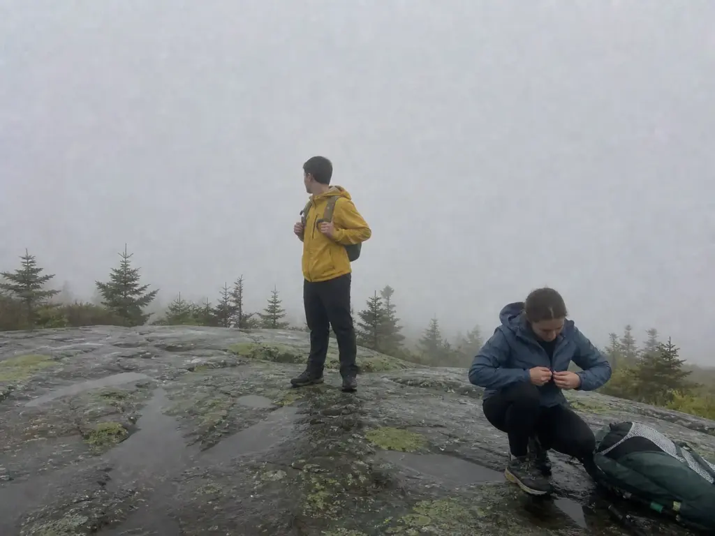
You drove out for the view and the peaks are wearing a gray hat. Adirondack summits fog in regularly, and nobody photographs the day it happened, so it catches visitors off guard more than the trip reports suggest.
Read the cloud deck before you commit. If the tops of the ridges have disappeared from the village, they’re gone from the summit too, and a two-hour climb into that gets you a view of the inside of a cloud. That’s judgment, not a forecast product, but it’s the read most people here make from the parking lot.
The move is to trade elevation for water. Shelving Rock Falls and the Pilot Knob waterfall both deliver in flat light, and low overcast genuinely flatters moving water in a way harsh midday sun doesn’t.
The lower lake-adjacent trails hold their character in fog too. Mist over a treed shoreline still looks like something, and a view of the lake from a hundred feet up survives weather that erases a summit. An open summit in cloud is a rock you can’t see off of.
Save the big climb for the clear day. Black Mountain and Sleeping Beauty are both worth a rain check, and the tier system in this article exists partly for this reason: when the weather takes your first pick away, you drop a tier instead of dropping the day.
Pack for the change either way. The day your plan holds is not the day gear matters. It’s the day you bail at the halfway point, get wet, and walk out slower than planned. The day-hike checklist that covers a changed plan is the baseline worth carrying at any of these trailheads.
Conclusion
Sort by elevation gain per mile, not by the word moderate. That single habit does more for your Lake George planning than any trail list, this one included.
The east side holds the big climbs and the gates that close. The west side is the reliable short day with the shorter drive. Know which one you’re committing to before you leave.
Check the road status and the hunting calendar before you drive out. Those two ruin more Lake George hikes than the terrain does, and both take about ninety seconds to look up.
Pick the trail that matches the day you actually have, not the one with the best photos. Start with the tier that fits your legs, your dog and your afternoon, then work up the list. The mountains aren’t going anywhere.
Frequently Asked Questions
01What are some good hikes around Lake George?
The standouts across effort tiers are Prospect Mountain for an easy summit view, Cat Mountain and Pilot Knob in the moderate range, and Buck or Black Mountain for a hard climb. Choose by elevation gain per mile rather than by the difficulty label.
02What are some hidden gems in Lake George?
Inman Pond, the Pilot Knob Orange+Blue Loop, and the Valley Woods Road approach to Thomas Mountain get almost no attention on the big aggregator lists. All three are real trails with real payoffs and a fraction of the weekend parking pressure.
03Are there free hiking trails near Lake George?
Yes. The Prospect Mountain East Trail reaches the same summit as the 10 dollar toll road at no cost, and the Cat Mountain, Pilot Knob, Buck Mountain and Black Mountain trailheads are all free to park and hike.
04Can you climb the fire tower on Black Mountain?
No. The historic fire tower and observer cabin sit at the 2,665 ft summit, but the tower is not open to climb. The payoff is the wide open summit view itself, which is worth the climb on its own.
05Are dogs allowed on Lake George hiking trails?
Yes, leashed. Off-leash is a ticketable DEC offense that Forest Rangers enforce, not a courtesy request. Inman Pond and the shorter lake-adjacent trails suit a dog better than the dry, steep summit climbs.
I've spent more than a decade researching hiking gear and trail technique. I read the specs, the forum threads and the long-term reviews, and every pick here comes with what it gets wrong.
End of the trail
You read every mile of this one. Here's where the trail goes next.