
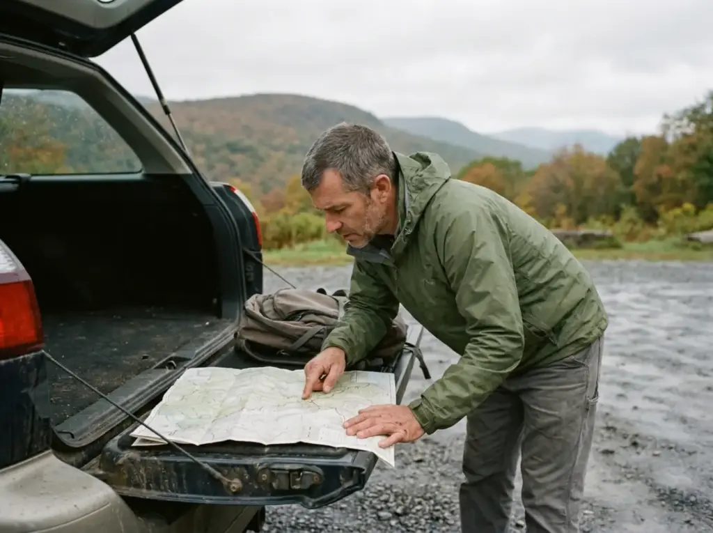
You drove four and a half hours from the city to hike Indian Head, pulled up to the gate at 8am, and got turned around. The trail was open. You just never booked a parking slot two weeks earlier.
The best hikes in New York sit in two ranges that get lumped into one list as if they were interchangeable, and the numbers say otherwise. Kaaterskill Clove runs two to three times over its modeled capacity on weekends, while the Adirondack Mountain Reserve caps its entire trailhead at 70 cars a day. Pick your range first, then your trail by effort, then handle the permit layer that decides whether you hike at all.
Catskills or Adirondacks? Pick Your Range Before Your Trail
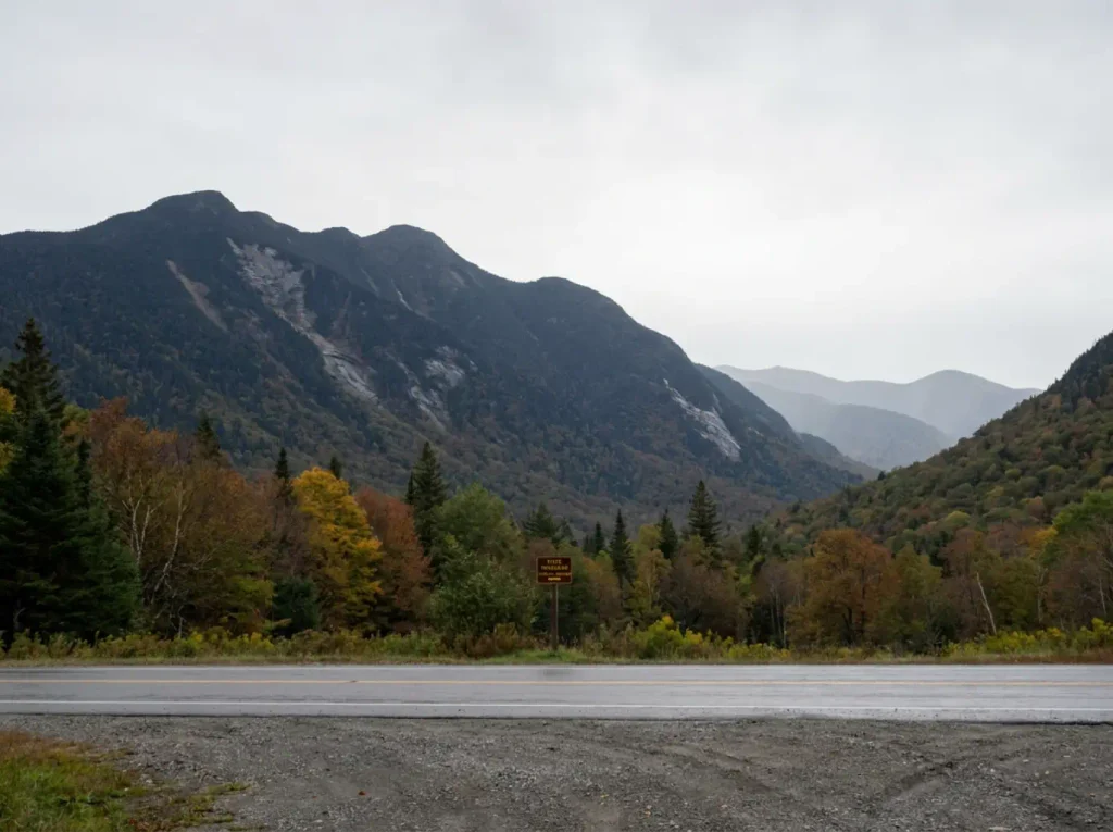
Every “best hikes in New York” roundup treats these two ranges as one weekend menu. They are not. One is a two-hour drive where you park and walk. The other is a five-hour drive where the marquee trailhead needs a reservation booked two weeks out, and showing up without one buys you a polite conversation at a gate and a long ride home.
Drive time is the biggest lever, and nobody says it out loud. Catskills trailheads around Phoenicia, Woodstock and Kaaterskill sit roughly 2 to 2.5 hours from New York City. Adirondack High Peaks trailheads around Lake Placid and Keene run 4.5 to 5 hours. That gap is the difference between leaving at 6am and being back for dinner, and committing a full weekend with a hotel in it.
Permit friction runs the same way, and it is completely one-sided. The Adirondack Mountain Reserve permit is required from May 1 through October 31 for a specific set of trailheads. Catskill Park, as of the 2026 season, has no equivalent hard requirement.
What you do pay for in the Catskills is parking at the state parks along the edge of the range, where a state park day-use fee applies in season and an Empire Pass covers it for the year if you go more than a handful of times. If reservation systems make your teeth itch, the range choice is already made for you. For a preview of how these systems feel in practice, the Shawangunk Ridge just south of the Catskills runs its own weekend parking-session system, which is the closest working parallel to the AMR model in the state.
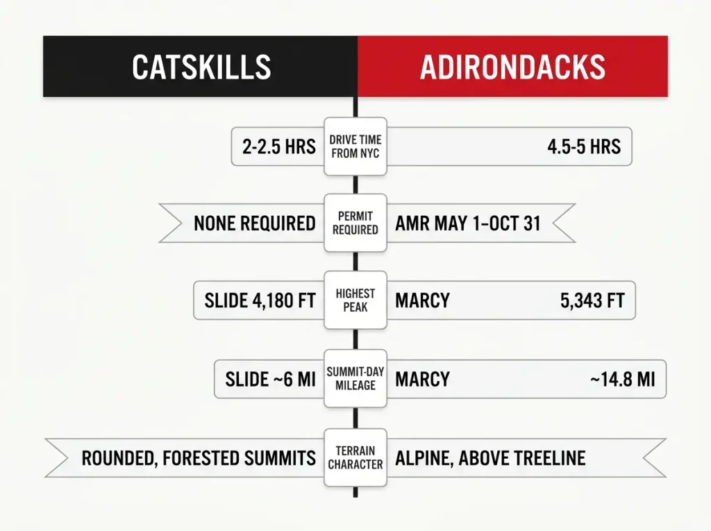
Terrain character is where expectations break. Catskill summits are rounded and forested, and most give you nothing at the top unless the trail crosses a ledge or holds a fire tower. Slide Mountain is the range high point and its true summit is a wooded bump with a plaque, so summit views there are something you walk a few steps to find rather than something the mountain hands you.
Adirondack High Peaks deliver alpine ground above treeline, with 360-degree views, a final rock scramble over bare stone, and fragile alpine vegetation you are asked to stay off. You pay for that in mileage, usually double.
Do not read “Catskills” as “the quiet option,” either. DEC’s Kaaterskill Clove study modeled roughly 1,000 visitors per day as sustainable. Weekday averages run near 860, weekends near 1,850, and the busiest days push 3,000.
DEC’s 2026 High Peaks and Kaaterskill Clove visitor-use study frames 2026 as a planning year, with real limits targeted for 2027. The Catskills are not permit-gated yet, but the crowds arrived a long time ago.
The community shorthand tells you what each range is about. A 46er has climbed all 46 Adirondack High Peaks over 4,000 feet, and the Adirondack 46ers is the club that keeps the register. The Catskill 3500 Club covers the 35 Catskill peaks over 3,500, several requiring a winter repeat to count. Two games, two time budgets.
Best Beginner Hikes in New York That Still Feel Like Something
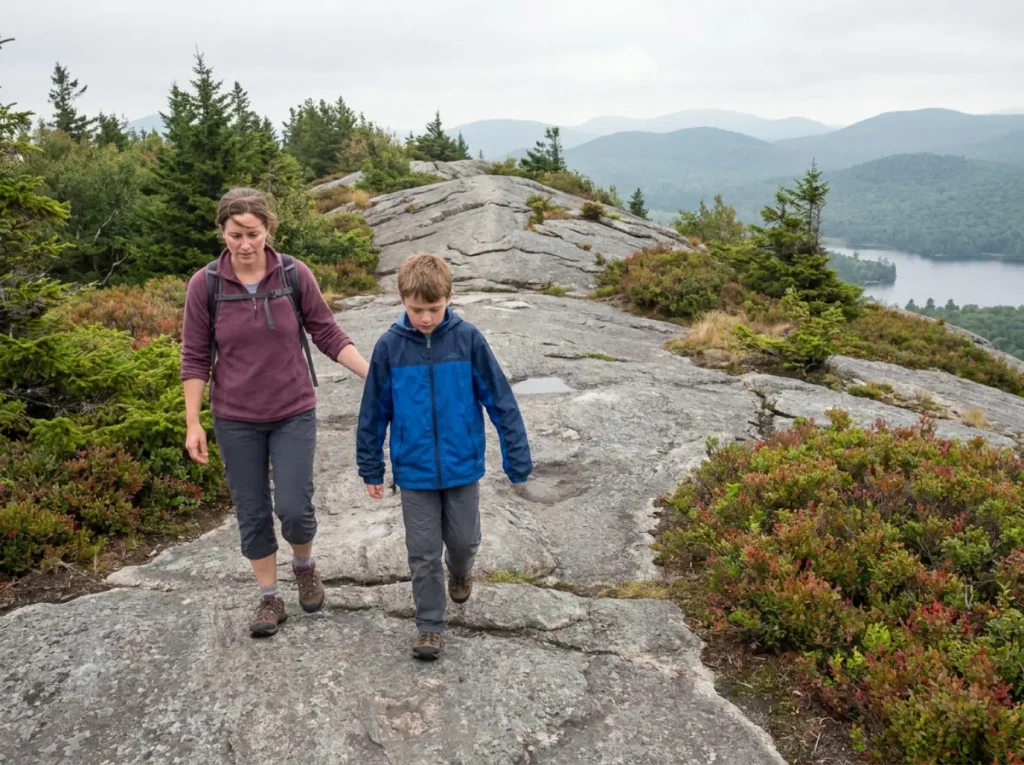
“Beginner-friendly” in most listicles means a paved loop with a bench at the end, or somebody rating a trail Easy because they found it easy that day. Neither helps. The useful version gives you the numbers, the payoff, and an admission when a short trail is still work.
Bald Mountain (Old Forge), the Fire Tower That Pays Out Fast
Bald Mountain near Old Forge has the best view-per-mile ratio in the beginner tier, and it is not close. The trail is short, the middle runs along an exposed rock spine that feels far more mountainous than the mileage suggests, and the 1917 fire tower opens up the Fulton Chain of Lakes. Kids who complain about the walk stop complaining at the spine. For parking and winter beta, the Old Forge Bald Mountain trail and its 1917 fire tower has what this list can only summarize.
Mount Jo and Cobble Lookout, Short Adirondack Summits With Real Views
Mount Jo, just above Heart Lake, is the classic first Adirondack summit: under a mile up the short trail, with a view into the High Peaks that belongs to a much harder day. Cobble Lookout near Wilmington is gentler still, mostly flat until a final rise to an open ledge, and it is the closest thing in the area to a genuinely family-friendly trail that also works as a dog-friendly trail on a leash. Mount Jo’s one catch is not the trail. It is the Heart Lake lot, which fills early enough that the hike can end before it starts.
What “easy” actually costs you on Catskill rock
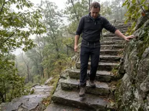
Here is where mileage lies to you. A three-mile Catskill trail rated easy runs over loose rock, roots and eroded stone steps most of its length. You are not walking, you are picking your feet up and placing them, over and over. That easy three-miler eats the same clock as a flat five-miler, which is why people run two hours past their own turnaround plan.
Labels have a second problem: they describe a route, not a mountain. The same Bear Mountain summit carries two completely different difficulty ratings depending on the route, one rated Hard and one an ADA-accessible All Persons Trail reaching the same place. The pattern in beginner threads never changes either: people pick the famous name first and the appropriate trail second. Pick the trail that matches the day you can actually hike, not the one with the reputation.
On a first Northeast hike, budget by hours, not miles. Take the posted mileage, assume one mile per hour of moving time on rocky ground, then add a full hour for the parking, the boots, the snack stop and the photos nobody plans for. If that number does not fit your daylight, pick a shorter trail instead of hoping you are faster than the rock.
Catskills Hikes Worth the Drive, Sorted by Effort
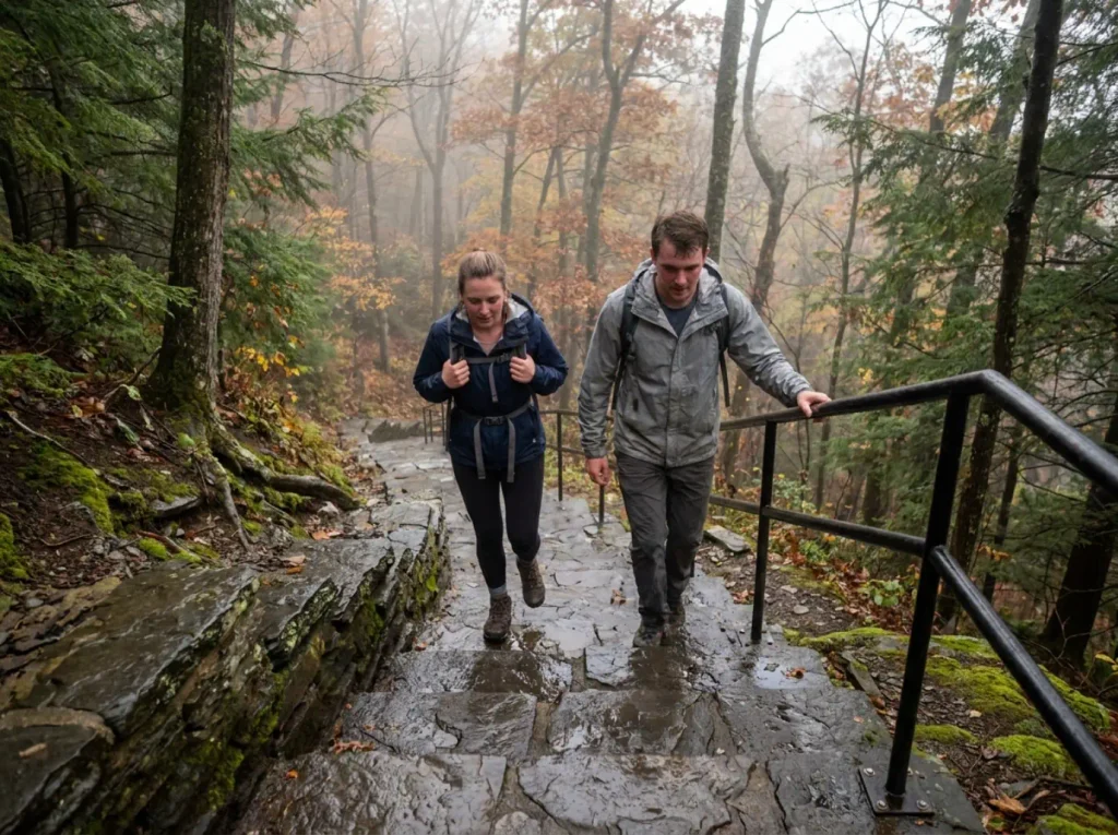
The Catskills reward you for knowing which trail is which. The same range holds a six-mile summit most reasonably fit people finish before lunch and a 25-mile traverse that has broken plenty of experienced hikers. Listicles blur those into one bullet list and hand you the wreckage.
Kaaterskill Falls, the One Everybody Does, and When Not To
Kaaterskill Falls is New York’s headline waterfall hike and the most oversubscribed trail in the range. Two drops, 260 feet total, and a viewing platform that makes the photo worth it.
It also runs two to three times over its own modeled sustainable capacity on a summer Saturday. That does not make it a bad hike. It makes it a dawn or weekday hike, never a spontaneous one after brunch in Hudson. The pools at the base look like a swimming hole and are posted against it, and the gorge trail below the falls is where most of the enforcement happens.
The access problem is worse than the crowd problem, because there are four ways in and they are not equivalent. Sorting out which of the four Kaaterskill Falls trailheads to use before you leave the house decides whether you get a spot, how many stone steps you descend, and which rules are enforced where you park. When the scene looks like a parking lot with a waterfall attached, a quieter Shawangunk waterfall route trades the marquee name for solitude.
Slide Mountain, the Catskills’ Highest Peak and Its Easiest Famous Summit
Slide Mountain tops out at 4,180 feet, the highest ground in the Catskills, and it is genuinely reachable. From the Route 47 trailhead it runs about six miles round trip with roughly 1,800 feet of gain, real effort at roughly a third of what Mount Marcy asks. The summit is honest about what it is: wooded, with a rocky outcrop a few hundred feet past the high point, a John Burroughs plaque set into the ledge, and a long look down at the Ashokan Reservoir. Anyone expecting an alpine crown will be briefly disappointed, then fine about it.
Indian Head and the Devil’s Path, Where the Mileage Claims Fall Apart
This is where published numbers go useless. The summit-only out-and-back on Indian Head runs about 2.5 miles with roughly 1,000 feet of gain packed into the first 1.25: steep, short, over before your legs file a complaint. The Indian Head and Twin loop runs about seven miles with 1,700 feet. A listicle quoting “13 miles” for Indian Head is quietly stacking the full Devil’s Path traverse onto a peak name, which is a different sport.
The Devil’s Path is the range’s reputation-maker, roughly 24 miles of relentless up-and-down over rock with no interest in switchbacks, and the benchmark strenuous hike of the Northeast. It also poisons the mileage figures for every peak on it, because writers grab whatever number their source used without checking which route it described.
Two other Catskill routes cause the same confusion. The Long Path Trail crosses the range on its way up the state, and the Escarpment Trail stacks the north-facing cliffs above North-South Lake into one long day. Both share tread with shorter, friendlier hikes, so a trail name on a sign tells you nothing about how far the person who posted that mileage was walking.
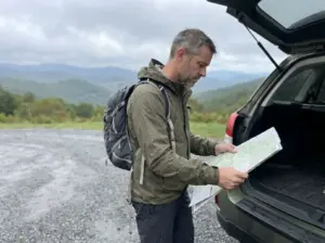
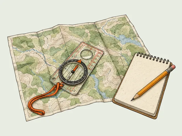
Never trust a peak name alone. Before you drive, write down three things: the trailhead you are parking at, the specific trail names you will follow, and the round-trip distance for that exact combination. If a guide gives you a mileage figure without naming a trailhead, it is describing somebody else’s hike.
Adirondack High Peaks and the Days They Actually Take
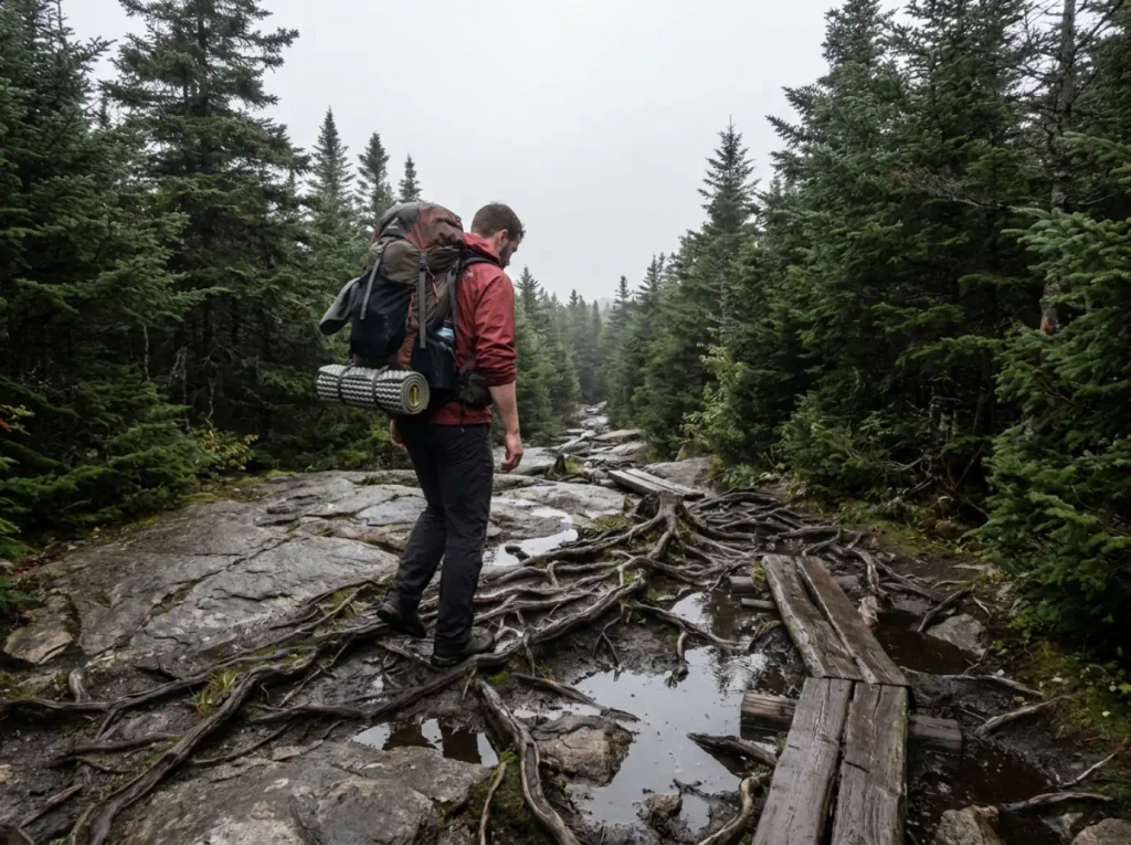
An Adirondack High Peak is not a longer Catskill hike. It is a dawn-to-dusk commitment on trail that is rocky the entire way, where the mileage runs roughly double what people picture from “day hike.” The High Peaks Wilderness does not grade on a curve.
Mount Marcy, New York’s Highest, and a Full-Daylight Day
Mount Marcy stands at 5,343 feet, the highest point in the state. Via the standard Van Hoevenberg Trail from Heart Lake it is about 14.8 miles round trip with roughly 3,166 feet of gain, and a fit hiker should plan 9 to 9.5 hours moving. Not nine hours including lunch and photos. Nine hours of walking, most of it on rock.
The elevation gain number still undersells it, because Marcy’s difficulty is the surface, not the grade. You get root-and-boulder trail for miles, enough boulder hop sections to wear your ankles out, then an open ridge scramble across bare rock above treeline where the wind does whatever it wants. Any guide filing this under moderate difficulty is grading on a curve. That last stretch is the reward, and the reason people underestimate the descent that follows on legs which have stopped negotiating.
If a 15-mile day is not this season’s project, Adirondack trails sorted by elevation gain per mile rather than by difficulty label get you honest terrain on a budget your Saturday can pay.
Cascade and the entry-level High Peaks
Cascade is the standard first High Peak for a reason: the shortest route to a genuine open alpine summit, delivering the view that makes people want the other 45. It is also the most crowded, and its trailhead sits on the Route 73 corridor, where the DEC parking lot is small by design and parking outside designated spaces has always been against regulation and is actively enforced. The Adirondack Mountain Club’s guide to visiting the AMR lays out the rules for that stretch of road, worth reading before you drive it.
One route error turns Marcy from long into brutal, and it shows up in first-timer threads constantly. Approaching by the Avalanche Lake loop instead of Van Hoevenberg pushes the day past 15 miles, and the trail around the lake is slow ground, with boulder-hopping and ladder-and-plank sections that eat time you did not budget. Spectacular route. Wrong route for a first Marcy, and locals correct the plan every time it gets posted.
Herd paths, the 46, and knowing when you are off a maintained trail
A herd path is an unofficial route worn in by hikers, not a maintained DEC trail. No markers, no maintenance crew, no guarantee it goes where you think. Trailless peaks on the 46 list are reached this way, on purpose, and nothing at the junction tells you that you just left the marked trail system.
You know you are on one when the tread narrows, the mud stops being managed, and the route starts choosing the fall line instead of contouring. If that describes your trail and you did not mean to leave it, back up to the last marker. Bushwhacking is a skill you choose, not one you discover at 3pm.
Anyone stretching a High Peak into overnight backpacking should sort the shelter question before committing. There is no wilderness permit to file for a High Peaks day hike, but the backcountry lean-to system runs first-come, first-served, so a full shelter at dusk means pitching on a designated site instead.
The Permit and Parking Layer That Decides Whether You Hike
This is the part of a New York hiking trip that goes wrong, and it goes wrong before anybody laces a boot. Every competitor tells you to arrive early. Almost none of them mention that at the AMR, arriving early does nothing at all.
How the AMR reservation actually works
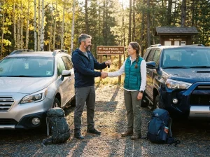
The Adirondack Mountain Reserve covers the trailhead for Indian Head, Rainbow Falls, Noonmark, Round and the Gothics approach. Between May 1 and October 31, you need a free reservation from hikeamr.org, and the mechanics are worth memorizing: 70 parking slots per day, up to 6 hikers per booking, so about 420 hikers per day maximum.
The gate runs 5am to 7pm. Bookings open two weeks ahead and close 24 hours before your date. Miss that 24-hour cutoff and you are locked out, full stop.
Group size has its own trap. High Peaks Wilderness caps groups at 15, and the AMR caps a single booking at 6, so a party of ten is two reservations made in advance. The Adirondack Mountain Reserve’s own reservation FAQ is the source to check when a friend confidently tells you the rules changed.
Regulars who use the system make one clarification worth having: the AMR “time slot” is really a parking pass, not a start time. You can arrive any time after the gate opens on your reserved day. That single fact removes most of the anxiety people bring to the booking page.
Where “arrive early” still applies — and how early
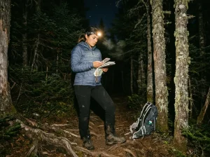
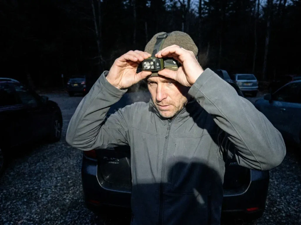
Everywhere else, arrival time is the entire game. Heart Lake and the ADK Loj, the main non-AMR High Peaks trailhead, routinely fill before 6am on summer weekends and before 9am on weekdays. That is not “get there before the crowds.” That is a headlamp start, in the dark, in the parking lot.
Which is why a headlamp stops being optional gear here and becomes trip logistics. The Black Diamond Spot 400 Headlamp is the mid-range pick that handles this without drama: 400 lumens sorts gear in a black lot and walks the first rocky mile before sunrise, it dims so you are not blinding your partner across the hood, and it runs on AAA batteries you can replace at a Route 73 gas station instead of hunting a charger at 4am. The 5am gate opening exists for exactly this reason.
Route 73 roadside parking is where improvisation gets expensive. Parking outside designated spaces there has always been against regulation and is enforced, so the “just squeeze in behind that other car” move earns a ticket or a tow. The standing local workaround when the main lots fill is Upper Works, which longtime Adirondack hikers point to as consistently having space even on holiday weekends, at the cost of a longer approach to some peaks.
Why the lots are small in the first place
The lots are small on purpose. DEC caps trailhead parking to protect fragile terrain, and the traffic history explains why. Since the AMR’s public-access easement began in 1978, foot traffic in the Ausable Club registers grew from under 5,000 hikers a year to 25,000 by 2017. A fivefold increase in four decades on a 7,000-acre private easement, and the permit system is the response to it, not bureaucratic instinct.
New York applies the same logic elsewhere, in ways that catch people out on the same trip. Minnewaska splits into three access areas with separate fees and reservations, which surprises anyone who assumed one park meant one entrance and one payment.
One flaw locals keep flagging: people book AMR slots far ahead for uncertain dates and never cancel. Labor Day fills the day it opens, even though a chunk of those bookings go unused. If your date is soft, book it anyway, then actually release it when plans change, because somebody is refreshing that page.
Getting There Without a Car in 2026
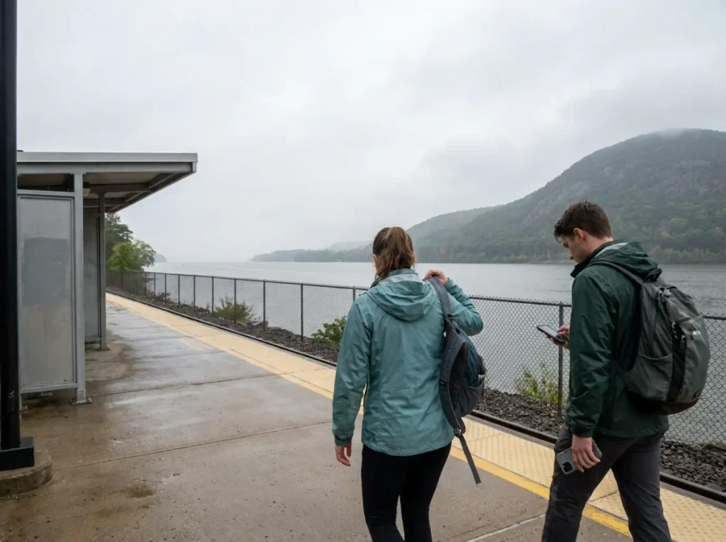
The classic answer to Metro-North hiking from New York City is to take the Hudson Line to Breakneck Ridge. That answer is currently wrong, and most published guides still print it, which is a problem when the whole point of an NYC day trip hike is that you cannot improvise once you are off the train.
Breakneck Ridge is closed until mid-2027, station and classic loop trailhead both, for the Fjord Trail bridge project. Any itinerary naming that station is describing a trip you cannot take this season. If you have a guidebook or a saved blog post recommending it, that page is out of date.
The working substitute is Cold Spring. Get off there, then budget roughly a mile of walking or a shuttle to the trailhead area. Cold Spring is a better base than Breakneck ever was, with food and a train back that runs more than a weekend-only schedule, and which Cold Spring routes stay open during the closure matters more than the station name people memorized years ago.
For the Adirondacks specifically, there is a genuinely obscure workaround almost nobody prints. Greyhound and Trailways riders holding a ticket issued within the previous 24 hours can access the AMR without a reservation, dropped near the Noonmark Diner. If you are car-free and set on Indian Head or Gothics, that bus ticket is your permit.
Be realistic about the geography. Car-free trips push the plan toward the Hudson Valley and lower Catskills, where trailheads sit near towns with train service. The High Peaks are a car trip with one bus-shaped exception.
The last train is the part that bites. It is a hard deadline the trail does not care about, and it turns a relaxed afternoon into a jog down stone steps. Running turnaround-time math before you leave the platform, not at the summit, is the difference between catching your ride and calling for a two-hour rescue drive.
Timing Your Hike by Season in Both Ranges
New York hiking has four distinct problem seasons, and each one has a specific fix. Getting the season wrong is how a perfectly good trail turns into a bad day you blame on the trail.
Black fly season and the late-spring window
Black fly season runs from late spring into early summer across both ranges, and it catches people who planned around temperature alone. Late May weather is close to perfect. The flies are why the trailhead is empty. They get behind your ears and under your collar, and they do not respond to brisk walking.
This is one of the few times a hardcore repellent earns its place over a gentler formula. Repel 100 is a 98% DEET pump spray, and against Adirondack black flies at peak season that concentration is the point rather than overkill. Keep it off your trekking pole grips and your synthetic jacket, since high-DEET formulas soften some plastics and coatings. Skin, hat brim, collar edge, nothing else.
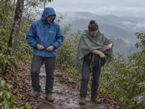
Spring brings mud season and high water alongside the flies. A high water crossing runs faster than the map implies, and a seasonal road closure on Platte Clove Road lasts later than people expect, which quietly relocates several Catskill trailheads. Check the DEC trail conditions report for the unit you are hiking the night before, not the weather app for the nearest town.
Fall foliage, and the crowd math that comes with it
Fall foliage season delivers the best hiking weather of the year and the worst parking of the year, in the same two weeks. Cool air, dry rock, no bugs, and every lot in both ranges full by 8am. Those crowds stack onto trailheads that were already over capacity in July.
The fix is not clever: early or elsewhere. Either you are in the lot before sunrise, or you pick a trail nobody has heard of and take a view 80% as good with 10% of the people. Peak color runs a week or two earlier in the Adirondacks than the Catskills, and that is the scheduling lever most visitors never use.
Winter ice, and the traction question
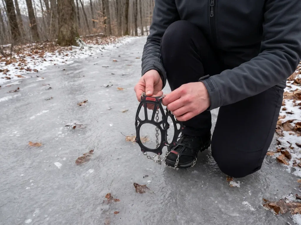
From November through April, trails in both ranges hold ice on their upper sections long after the parking lot is bare. This is the classic mismatch that turns people around. You start on wet dirt in a fleece, and 1,500 feet higher the winter ice trail is a smooth ribbon of refrozen boot-pack you cannot walk up in trail runners.
Deep snow is a different problem with a different fix. Once the pack goes soft and every step drops you to the knee, that is postholing, and the answer is snowshoeing, not more spikes. Traction handles ice. Flotation handles depth.
Microspikes solve this completely. Kahtoola MICROspikes are the standard answer for a reason: 12 stainless steel spikes on an elastomer harness that stretches over whatever boot you already own, on in about fifteen seconds a foot. Twelve points is enough bite for packed snow and hard trail ice. They are not crampons and do not pretend to be, which is exactly right for Catskill and Adirondack winter below the technical stuff. Winter traction on exposed New York rock shows how the same problem behaves on comparable Hudson Valley terrain.
The seasonal tell that separates experienced hikers from everyone else: they pack for the summit’s conditions, not the trailhead’s. The lot is 2,000 feet lower, often 15 degrees warmer, and it lies to you every time.
What to Carry for New York Trail Conditions
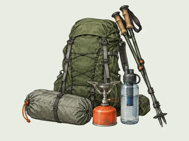
New York does not demand exotic gear. It demands the right three things for rock that stays wet, descents that punish knees, and mud that lasts into June.
Footwear for mud season and wet rock
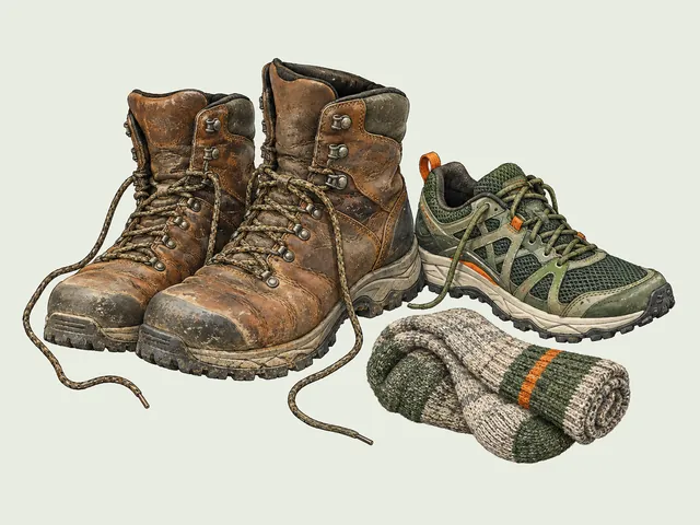
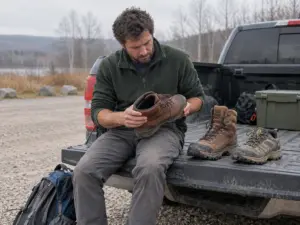
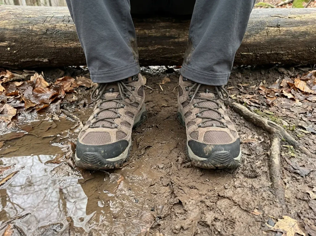
Catskill and Adirondack trails run over rooted, rocky, frequently wet ground most of their length. This is where mid-cut waterproof boots earn their keep in a way they do not on dry western trail, where plenty of experienced hikers moved to trail runners and never looked back. Different terrain, different answer.
The Merrell Moab 3 Mid Waterproof (men’s · women’s) is the mid-range default here: a waterproof membrane for standing mud and shallow crossings, a Vibram outsole with enough lug depth for wet root, and mid-cut ankle support that matters on ground where your foot lands at an angle every third step. It is the boot that keeps working when the trail is a creek for a quarter mile. One honest caveat: once water comes in over the collar, that membrane keeps it in, and on a hot August day a hiker in non-waterproof shoes may finish drier than you. Grip has its own rules too, and how wet conglomerate rock kills grip is worth understanding before you test it on a slab.
Poles, and the descents that justify them
Steep, rock-stepped descents are the New York specialty, and where trekking poles stop being optional for anyone whose knees have opinions. Devil’s Path and most High Peaks trails descend in drops rather than a grade, so your quads absorb the impact one step at a time for thousands of feet.
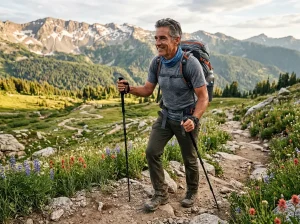
Cascade Trekking Poles are the budget-friendly carbon pick for this. Cork grips beat foam once your hands sweat, adjustable length lets you shorten for the climb and lengthen for the descent, and carbon keeps swing weight low enough that you stop noticing them. Plant the pole below the step, weight your arms, drop your foot. Do that a thousand times and the difference shows up the next morning.
The safety details this terrain actually requires
Timber rattlesnakes are established on Mount Tremper and Overlook Mountain in the Catskills, and a rattlesnake den on a south-facing ledge is habitat information, not a reason to skip the trail. They sun on open rock and want nothing to do with you, so look before you put a hand on a warm ledge and keep dogs leashed on those two mountains.
Black bear activity runs through both ranges, which makes canisters the norm for High Peaks overnights and, on day hikes, means your lunch does not sit unattended on a summit rock while you wander over to the view. Real wilderness safety here is duller than either animal, though. Neither species is why people get hurt in New York. Bad turnaround decisions in fading light are.
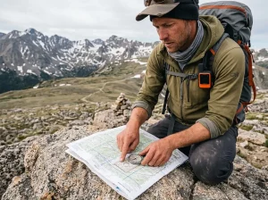
Set your turnaround time before you leave the car and say it out loud to whoever you are hiking with. Not a distance, a clock time. When it arrives, you turn around from wherever you are standing, summit or not. The mountain will still be there next month, and the trail down in the dark is a completely different trail.
That is what the Ten Essentials framework is really protecting you from. The list keeps a day hike from becoming an unplanned overnight, and turnaround time is the essential nobody packs. Pack out what you carried in while you are at it. Leave No Trace is not a lecture on ground this heavily used, it is the only reason these trailheads are still open without a gate on them.
The Short Version
Pick the range before the trail. Drive time and permit friction decide more about your day than any trail description will, and treating both ranges as one menu is how people end up at a gate they cannot enter.
Read the route, not the peak name. The same summit can be a 2.5-mile morning or a 13-mile traverse, and the mileage figure floating around online describes somebody else’s route from somebody else’s trailhead.
Book early or arrive early, depending on the trailhead. Different problems, different fixes, and confusing them is the most common way a New York hiking trip ends in a parking lot.
So pick one range. Book one trailhead or set one alarm. Then go do that single hike properly, instead of trying to see both ranges in a weekend and doing neither of them well.
Frequently Asked Questions
01Which is better, the Adirondacks or the Catskills?
Neither is better across the board, because they solve different trips. The Catskills win on access, roughly 2 to 2.5 hours from NYC with no hard permit system today. The Adirondacks win on alpine summits, at 4.5 to 5 hours of driving plus an AMR reservation for certain trailheads from May 1 to October 31.
02What is the best hike in the Adirondacks?
For a first Adirondack summit, Cascade is the standard answer. For the definitive one, Mount Marcy at 5,343 feet is New York’s highest peak, about 14.8 miles round trip with roughly 3,166 feet of gain. Treat Marcy as a full-daylight objective, not a stop on a bigger day.
03What are some of the most beautiful hikes in the Catskills?
Kaaterskill Falls for the waterfall, Slide Mountain for the range’s highest summit, and Indian Head for Hudson Valley ledge views. Kaaterskill draws the biggest crowds by a wide margin, so it rewards a weekday or a dawn start far more than the other two do.
04Do you need a permit to hike in the Adirondacks?
Not for the Adirondacks generally, but yes for the Adirondack Mountain Reserve trailhead between May 1 and October 31. That covers Indian Head, Rainbow Falls, Noonmark, Round and Gothics via AMR. Reservations open two weeks ahead at hikeamr.org and close 24 hours before your date.
05Can you hike in New York without a car?
Yes, but the classic answer changed. Breakneck Ridge’s Metro-North station and its main trailhead are closed through at least mid-2027, so car-free hikers get off at Cold Spring and walk or shuttle roughly a mile to reach the trail area.
I've spent more than a decade researching hiking gear and trail technique. I read the specs, the forum threads and the long-term reviews, and every pick here comes with what it gets wrong.
End of the trail
You read every mile of this one. Here's where the trail goes next.