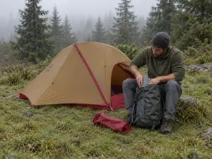
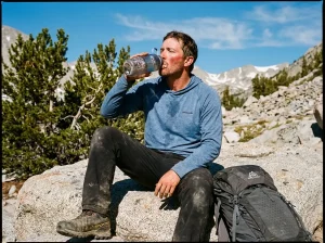
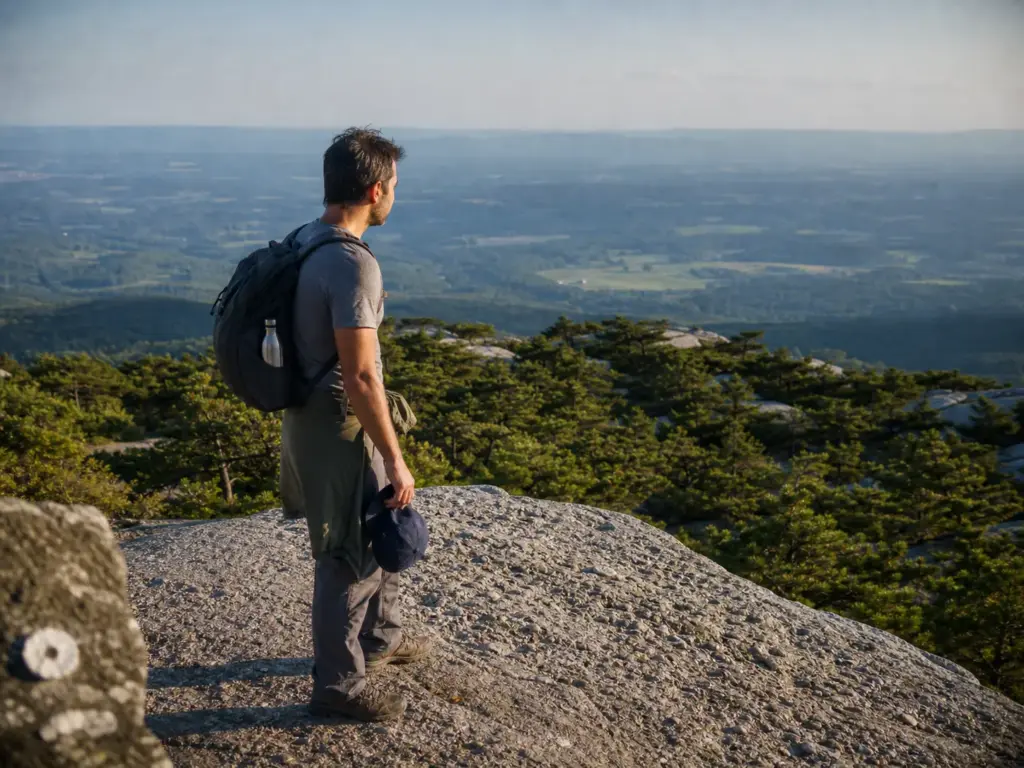
You drive ninety minutes up from the city on a Saturday morning in July, pull into the entrance, and a staffer waves you off because the parking session sold out four days ago. That is the single most common way a trip to the Sam’s Point Area of Minnewaska State Park Preserve falls apart, and it has nothing to do with your legs. The reservation system, the ice cave ladders, and the real length of the Verkeerder Kill Falls route are the three things hikers keep flagging in trip reports, and the three things the official pages cover thinnest. This guide walks the parking system session by session, sorts the trails by who should actually hike them, and tells you what the Ice Caves physically feel like before you commit.
What Sam’s Point Actually Is (And How It Relates to Minnewaska)
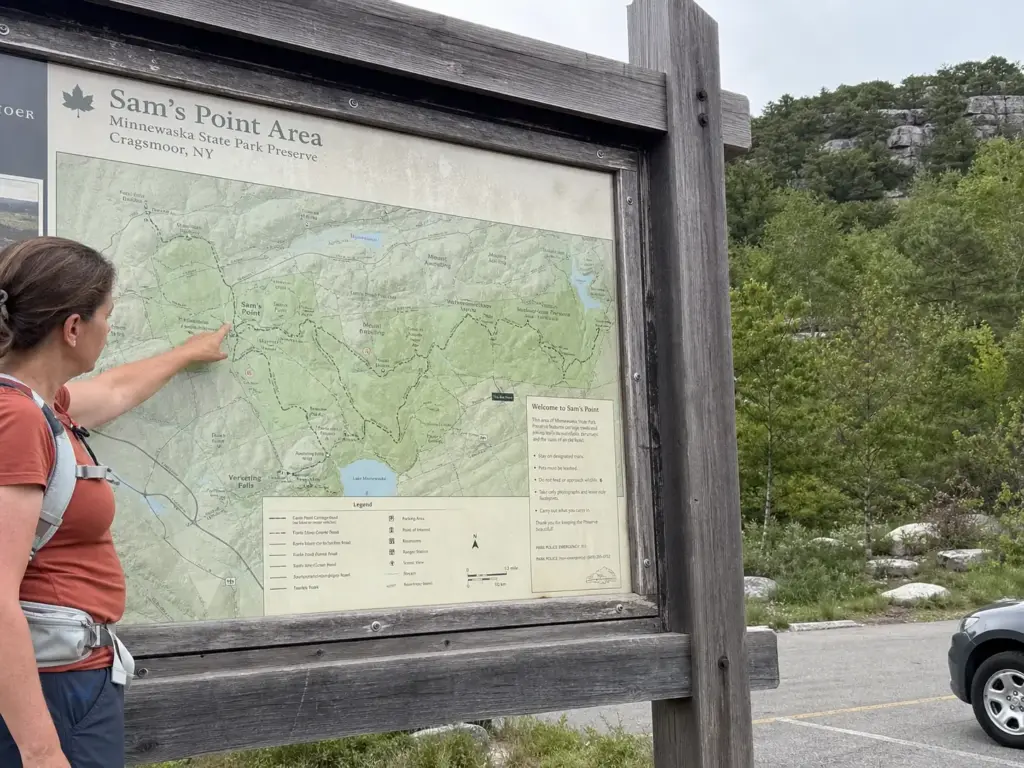
Half the people who plan this trip plan it wrong from the first search. They book a Minnewaska day, assume Sam’s Point is a trailhead somewhere inside it, and only find out at the gate that the entrances sit well apart by car with separate parking systems and separate trail networks. A day at the main preserve teaches you nothing about how to get into this one.
Here is the clean version. Sam’s Point is the southern area of Minnewaska State Park Preserve, sitting above the hamlet of Cragsmoor, NY in Ulster County, on the southern end of the Shawangunk Ridge. It is administratively part of the same preserve, which is why you see one park name on both, and it is operationally its own thing, which is why your knowledge doesn’t transfer.
Both facts are true at once, and that is exactly why people get tangled up. If you want to confirm the arrangement straight from the source, the official Sam’s Point Area page from NY State Parks lays out the administrative side, though it assumes you already understand the geography.
The practical consequence: decide which area you actually want before you book anything. If your mental picture is carriage roads circling a glacial lake with a swimming beach, that is the main preserve, and the wider Minnewaska trail network is a different day out with different rules. If your picture is a ridge-top plateau, rock crevices you climb down into, and a waterfall at the end of a long footpath, that is here.
Locally, the whole ridge goes by the Gunks. You will hear it from climbers, but it has leaked well past them, and if someone at a trailhead asks whether you’re “heading up to the Gunks this weekend,” they mean the Shawangunk Mountains broadly, not one crag. The area sits inside the Palisades Region of the state park system, managed by the NYS Office of Parks, Recreation and Historic Preservation, with the Open Space Institute and the Palisades Parks Conservancy involved in stewardship and land protection.
Five names come up over and over in the rest of this guide, so it helps to place them now. Lake Maratanza sits near the top of the entrance road, a short flat walk from the lot, past the visitor center where the seasonal staff post current conditions. The Sam’s Point overlook is the big ridge view.
High Point and Indian Rock extend the ridge walk north along the escarpment. The Ice Caves are the crevice system that most people drive out for, reached by the ice cave trail from the main loop, and Verkeerder Kill Falls is the waterfall at the far end of the long route.
The Parking Reservation System, Session by Session
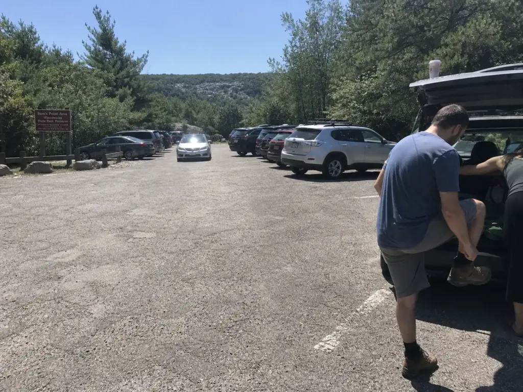
This is where the day gets decided. Most write-ups say “reservations may be required” and leave it there, which is the least useful sentence anyone has written about this park. You need the windows, the cutoffs, and the exemption.
When Reservations Are Required (and When They Aren’t)
Parking reservations are required on weekends and holidays only, from April 15 through November 15. That is narrower than it sounds. A Tuesday in late June inside that window needs no reservation at all. Neither does a Sunday in February. Most guides imply the requirement is blanket, and readers end up either scrambling for a booking they never needed or assuming the whole season is locked and going somewhere else.
That weekday exemption is the most underused piece of planning advice for this park. If you have any flexibility at all, a Wednesday in October gets you the same ridge, the same caves, and none of the booking anxiety. Kaaterskill Falls runs a similar parking squeeze a couple of counties north, and the pattern is now standard at popular New York trailheads: the trail is free, the pavement is the bottleneck.
AM vs PM Sessions
Reservations are sold as two sessions, and they are not interchangeable. The AM session runs 9am to 2pm with a hard arrival window of 9 to 11am. Roll in at 11:30 holding an AM booking and the reservation does not save you. The PM session runs from 2pm to close.
Pick the session by the hike, not by when you feel like waking up. The Verkeerder Kill Falls route needs the AM session, no debate. A four-hour commitment does not fit inside a PM window with any margin for a slow group, a long stop at the falls, or the walk back across the ridge in fading light.
Arrive at the very start of the AM window, 9 to 9:30am, on a weekend. “Getting there early” only counts inside the booked window, and regulars will tell you the lot fills fast once the session goes live. Showing up at 8:15 to beat the crowd buys you nothing but a wait at a closed gate.
Booking Windows and the Same-Day Shot
Reservations open 14 days ahead. Popular fall Saturdays go quickly at that mark, so if foliage weekend is the plan, put a reminder on your phone for two weeks out.
Forgot to book? You still have a same-day shot. Bookings stay open until 8am for the AM session and 1pm for the PM session.
That means a forgotten reservation is recoverable if you check before you get in the car, and it means a spontaneous Sunday afternoon is genuinely possible if you decide by lunch. Check the ReserveAmerica facility page for Sam’s Point for current session availability and to book.
Fees and the Empire Pass Math
The vehicle use fee runs roughly $6 to $12 depending on the park and season, and the Empire Pass runs $80 a year for unlimited vehicle entry across NY state parks. Divide it out and the pass breaks even somewhere around seven to nine visits. Confirm current fees on the state parks site before you go, since these numbers shift.
Honest verdict: Sam’s Point alone will never get you there. One trip a summer means you are paying five times the gate price for a sticker. The pass makes sense only if New York state parks are a season-long habit, in which case it stops being a purchase and becomes the reason you drive out on a Thursday.
The Ice Caves — What the Hike Actually Feels Like
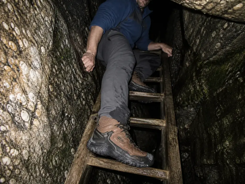
The word “caves” does a lot of damage here. It sets an expectation of walking upright through a cavern with a railing and interpretive signs. What you get is three narrow rock crevices, wooden ladders, ceilings that put your chin on your chest, dark stretches, and wet rock underfoot. The gap between that expectation and the reality is where the day goes sideways for unprepared groups.
The Three Crevices, the Ladders, and the Ceilings
The Ice Caves loop takes you through three separate crevices linked by boardwalks and stairs. Inside, the passages pinch down.
Some sections you walk. Some you duck. A few you turn sideways for.
The route drops you down wooden ladders bolted into the rock, and the ladders are the moment the whole thing reframes itself for most first-timers. The pattern in trip reports is consistent: people describe standing at the top rung, looking into a dark slot, and realizing the “cave” part of the hike is a scramble, not a walk.
Some honest disqualifiers, which the official pages will not print. If tight spaces bother you, this loop will find that out about you fast. If you are on the larger side, a few of the pinch points are genuinely tight rather than theoretically tight. If you are in sandals or smooth-soled sneakers, the wet rock and the ladder rungs will be a problem, not an inconvenience.
None of that is a reason to skip the park. It is a reason to know before you’re forty feet into a crevice with a line of people behind you. If you have done the Lemon Squeeze at Mohonk Preserve, you already have a calibrated sense of how narrow Shawangunk rock gets, and this is the closest comparison on the ridge.
The 55°F Problem
The crevices hold near 55°F year-round. Not “cooler than outside.” Fifty-five, in August, while the ridge above bakes.
The experience people describe most often is the first crevice on a 90-degree day: you step down out of full sun, take four or five paces, and drop thirty-plus degrees before your eyes have adjusted. It is the best air conditioning in Ulster County and it is genuinely startling the first time. Then you stand still for ten minutes taking photos, and the shirt you soaked on the ridge climb turns cold against your back.
Pack a light layer in July specifically for the caves, not for the weather forecast. Regulars say the same thing every summer: the one thing they wish they’d stuffed in the pack was a thin fleece for twenty minutes underground. It weighs nothing and it is the difference between lingering in the crevices and hurrying through them.
Footwear and Light — What the Terrain Requires
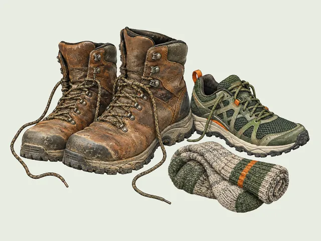
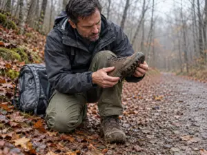
Proper footwear is explicitly required for this loop, not suggested. Uneven rock, standing water in the low sections, and metal-and-wood ladder rungs are three separate arguments for a real sole, and “sneakers are fine” is bad advice in this specific place even when it’s fine everywhere else that day. The most repeated mistake in this park, after the parking, is people arriving in sandals and discovering the ladders.
What the terrain wants is a mid-cut waterproof boot with an aggressive lug pattern: ankle support for the awkward rock steps, a waterproof upper for the wet sections, and tread that bites on slick stone. The KEEN Targhee IV Mid (men’s · women’s) sits squarely in that category, with the mid-height collar and the lug depth that make the ladder sections feel routine instead of tentative. Any mid-cut waterproof hiking boot does the same job, so if you already own one, wear it and skip the shopping.
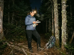
Light is the other one people underestimate. The crevices go properly dark in stretches, and the ladders need both hands. That is the actual argument against a phone flashlight: not brightness, but the fact that you end up holding your light in your teeth on a wet rung. A headlamp like the Black Diamond Spot 400 solves it at 400 lumens with a dimmer and a red mode, and honestly any basic AAA headlamp clears the bar, because hands-free is the spec that matters and brightness is a bonus.
This guide keeps the caves at planning depth on purpose. If you want turn-by-turn detail, the full Ice Caves route breakdown covers the loop crevice by crevice.
Why the Ice Caves Are a National Natural Landmark
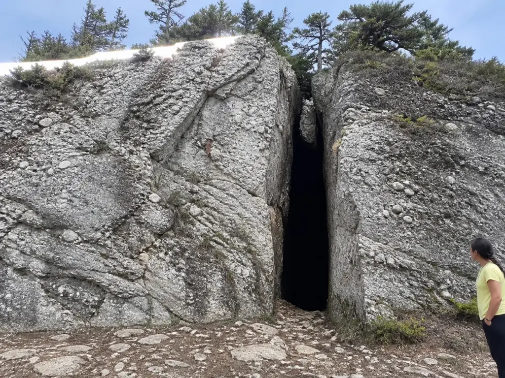
Most people walk out of the crevices knowing two things: it was cold, and it was narrow. That’s a shame, because what you just climbed through has a formal name and a formal designation, and knowing them changes how the walk sits in your memory.
These are the Ellenville Fault Ice Caves, designated a National Natural Landmark in 1967. The NY State Parks account of the Ellenville Fault Ice Caves covers the designation and the formation story in more detail, and it’s worth ten minutes before you drive out.
The geology is the part that reframes everything. These are not caves in the sense most people mean. There is no dissolved limestone here, no groundwater slowly eating out a chamber over millennia.
The rock is quartz conglomerate, a tough, pebble-studded sandstone, and the passages are fault features: the ridge got folded and fractured by tectonic movement, and huge blocks pulled apart and shifted along those fractures. What you walk through is the gap between blocks of rock that used to be joined. That is why the walls look like they’d fit back together, because they would.
The cold follows from the shape. Deep, narrow, vertical slots trap dense cold air the way a chest freezer holds cold when you open the lid. Warm summer air sits on top and never flushes the bottom out.
That geometry is what parks the temperature near 55°F through August, and it is why ice can survive at the bottom of some crevices well into spring, long after everything above has thawed. The name is not marketing.
Verkeerder Kill Falls — The Half-Day Commitment
Here is the failure pattern. A group finishes the Ice Caves around noon, feels strong, sees a sign for the falls, and decides to add it. Four hours later they are walking back across an exposed ridge in flat evening light with one water bottle between three people.
The Real Numbers
Round trip routes to Verkeerder Kill Falls run 6 to 8.9 miles depending on where you start, with roughly 700 to 1,053 feet of elevation gain. The loop from Sam’s Point is commonly cited near four hours, and that figure assumes a steady pace and short stops. Add a group that photographs everything and you are closer to five.
Most write-ups file this route under moderate difficulty, which is fair on the grade and misleading on the total. Nothing here is steep enough to stop you. The distance and the rocky terrain are what actually cost you the afternoon.
The booking consequence is direct: this route requires the AM session. There is no version of the falls that works on a PM booking unless you enjoy route-finding at dusk on rocky trail.
What the Falls Actually Look Like
A 2025 re-measurement, using an inclinometer and basic trigonometry, put the falls at 79 feet. For decades the number in circulation was 187 feet, and you will still find it in older articles, forum posts, and a fair number of guidebooks that never rechecked it.
So set your expectations against the real figure. Seventy-nine feet of water sliding off a conglomerate lip into a cold pool at the head of a wooded clove is a genuinely good place to eat lunch. It is not a Niagara-scale plunge, and anyone arriving with the 187-foot number in their head will spend the first minute feeling slightly cheated instead of looking at the thing. Knowing the correction before you go is worth more than another paragraph of scenery description.
What the Route Demands
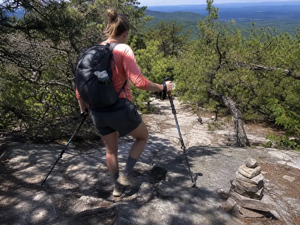
The trail out is rocky, uneven ridge walking with real elevation change spread across the distance. There is no sustained brutal climb, which fools people, and there is also no flat stretch where you get to switch your brain off. It’s a long accumulation of rock steps, root tangles, and slabby sections that ask your ankles for attention mile after mile. Breakneck Ridge asks for a similar honest self-assessment before you start, and the same rule applies here: the route doesn’t care how good you felt at the trailhead.
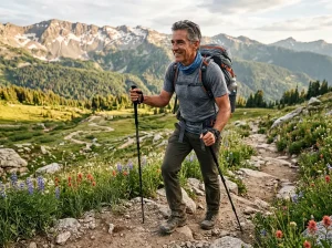
Poles earn their keep on terrain like this, and field sources call them out specifically for the wet, uneven rock in the caves loop as well as for the 700 to 1,050 feet of climbing on this route. The Cascade Trekking Poles are the budget-friendly carbon option, adjustable from 26 to 54 inches with quick-locks, which matters because you want them long on the descents and short on the climbs.
Water is the other planning decision. Size it to the route, not to the day. There is no water source on the ridge, the pines give you no shade, and a hot August afternoon on exposed conglomerate pulls fluid out of you faster than the mileage suggests.
Carry more than a normal day hike of the same length would call for, and carry it all in: nothing on this route lets you top up. For readers committing to the hike, the full Verkeerder Kill Falls route guide has the turn-by-turn.
Which Trail You Should Actually Hike
Every guide to this park lists the same trails and then leaves you to figure out which one is yours. The honest local guidance doesn’t work that way. It splits by who you are, because a family with a seven-year-old and a hiker chasing the full ridge want opposite answers, and handing both of them the same list helps neither. The habit of sorting a trail by difficulty before you drive out is the whole skill here.
Families and Casual Walkers
Take the Ice Caves loop plus the Sam’s Point overlook. That combination has the highest payoff per mile in the park, and the caves are the part kids talk about for a week. The overlook gives you the ridge view without the ridge mileage.
The deciding factor for young kids is not distance. It’s the ladders and the pinch points. A confident eight-year-old usually loves the crevices.
A nervous five-year-old, or an adult carrying one, will find the same passages a slow grind with no easy exit partway through. Make that call honestly at the trailhead, not at the third crevice.
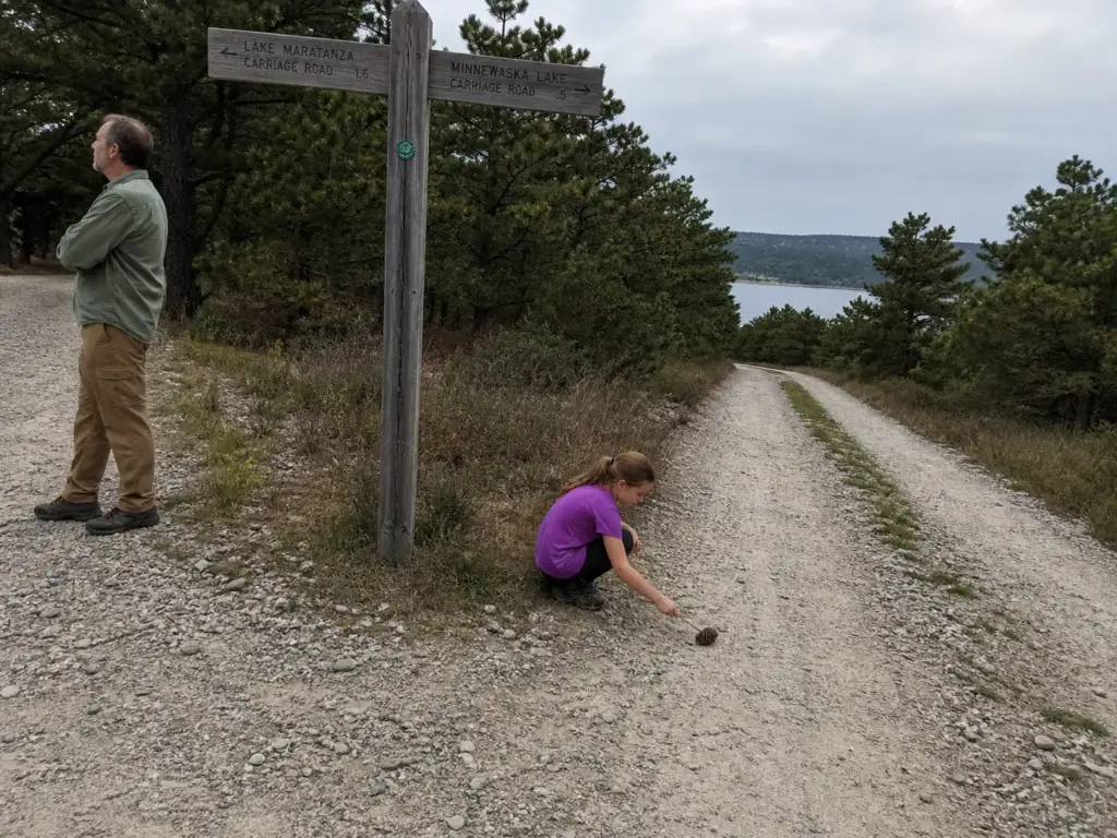
When the caves are closed or the group isn’t up for scrambling, walk the carriage road to Lake Maratanza and back. It’s flat, it’s wide, it’s an easy hour, and it still puts you on top of the ridge with the dwarf pines all around you.
Committed Hikers
Budget the half-day and go to the falls. If you still have gas after that, High Point and Indian Rock stretch the ridge day out further and give you the long views north along the escarpment.
This split is the actual field guidance, not a hedge to avoid picking a favorite. Families get more out of the caves-and-overlook loop than they would out of eight miles of rocky trail, and ridge hikers who spend their whole visit on a one-mile crevice loop drove ninety minutes for an appetizer. Pick your lane before you book the session.
Decide the hike before you book the session, not after. People book whatever slot is available, then discover on the drive up that a PM booking rules out the falls entirely. The session locks the day, so pick the trail first and let it choose your slot.
One caveat on the numbers you’ll see: posted mileage and time estimates vary by source, sometimes by two miles on the same route, because different write-ups start from different lots and count the loop differently. Reading trail stats before you trust them is a habit worth building, and here it means checking which trailhead a given figure assumes.
If You Only Have Two Hours
Overlook, Lake Maratanza, turn around. That’s the realistic option for a PM session booking, a late arrival, or a day where the weather is closing in. You get the view that the park is named for, a flat walk through the pine ridge, and you’re back at the car with time to spare. Two hours here is a real visit, not a consolation prize.
The Dwarf Pine Ridge You’re Walking Through
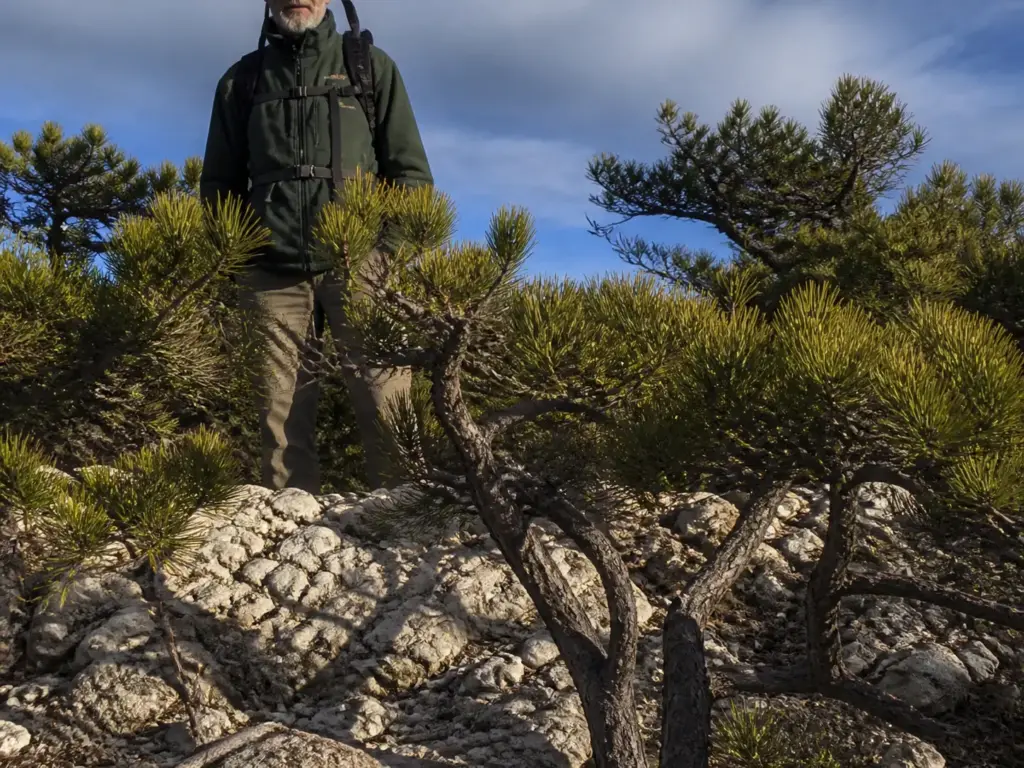
The chest-high gnarled pines lining the carriage road look like the least interesting thing on the property. Scrub. Something to walk past on the way to the view. They are, in fact, the rarest thing up here, and a decent number of them were standing before the towns at the bottom of the ridge existed.
Dwarf pine ridges occur in only three places on Earth: the New Jersey pine plains, Long Island, and the Shawangunk Ridge. And there’s a sharper claim inside that one. The other two are dwarf pine plains. Sam’s Point is the only true dwarf pine ridge occurrence anywhere in the world.
The New York Natural Heritage Program’s guide to dwarf pine ridges lays out the classification and the ecology behind it. If the parallel interests you, the Long Island pine barrens are the closest place to see the plains version of these dwarf pine barrens. Drop off the ridge and the community changes fast: the slopes below the escarpment run to chestnut oak forest, ordinary Northeast woods, which is exactly what makes the plateau on top so strange.
The pitch pines here are serotinous, which means their cones are sealed with resin and need the heat of fire to pop open and release seed. No fire, no next generation. That’s why periodic controlled burns aren’t a threat to this ecosystem but the maintenance schedule it evolved around. Suppress fire for long enough and the dwarf pine ridge slowly stops being one.
And the age thing is genuinely hard to absorb standing there. An individual pine at eye level, thin enough to wrap your hand around, can be centuries old. It isn’t stunted by poor conditions in the way a houseplant is stunted.
It’s adapted to thin acidic soil, ferocious wind, and periodic fire, and it puts its resources into surviving all three rather than into height. What you see from the overlook is a whole ridge of them running off toward the horizon, a low green sea that predates most of what’s in the valley below.
Which is the real argument for staying on the trail here. This habitat is thin, slow-growing, and easy to trample, and it’s also the specific reason the property was worth protecting in the first place. Carry in carry out, and keep your feet on the path.
When to Go — Seasons, Closures, and Conditions
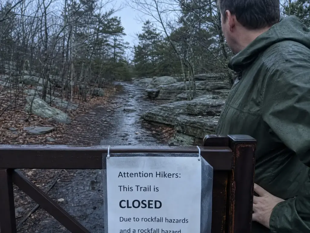
“I’ll go in March, it’ll be quiet” is a reasonable plan that runs straight into a closed cave loop. Seasonal information for this park is scattered across four different pages, so here it is in one place.
The Ice Caves Close Seasonally
The caves typically close into winter and early spring, and access can stay impassible well past the point where the surrounding trails are dry. The same geometry that keeps them at 55°F in August keeps ice sitting in the bottom of the crevices long after the ridge has thawed. Cold sinks and stays.
Check current conditions before any shoulder-season trip. The caves are the reason most people drive out, and finding them shut reshapes the entire day. If you get that news at the gate, Storm King Mountain is an hour away and stays open when the cave loop doesn’t.
Season by Season
Summer gives you the hottest exposed ridgeline and the coldest crevices, which is a good trade, plus the busiest weekends and a fully active reservation window. Fall is the strongest combination on paper: ridge views, fall foliage, and the reservation window still running through November 15.
It’s also the busiest stretch of the year, and the 14-day booking mark matters most in October. If the sessions are gone, other Hudson Valley trailheads absorb the overflow without needing a reservation at all.
Winter and early spring drop the reservation requirement entirely, which is the appeal, and hand you closures and ice in exchange. Snowshoeing and cross-country skiing are permitted on the carriage roads when conditions allow, and the ridge in winter is quiet in a way it never is in October.
The move most people miss: a weekday inside the April 15 to November 15 window skips the reservation completely. Same trails, same caves, no booking. If your schedule bends at all, bend it.
Rules Worth Knowing Before You Go
Carry in, carry out is the whole waste system up here, and it’s the one Leave No Trace principle this ridge enforces hardest, because thin soil and slow-growing pines don’t recover from shortcuts. Leashed dogs only, on a six-foot lead. No swimming. No drones. No fires or cooking.
NYS DEC hunting seasons apply in parts of the preserve, including a deer hunting permit system in designated areas, so a fall visitor should check the dates and wear something bright during them. And verify current trail closure status before you drive: the Lake Awosting Carriage Road restoration affects access in 2026, and closures on this ridge tend to be announced on the park page rather than at the trailhead.
What to Pack for Sam’s Point Specifically
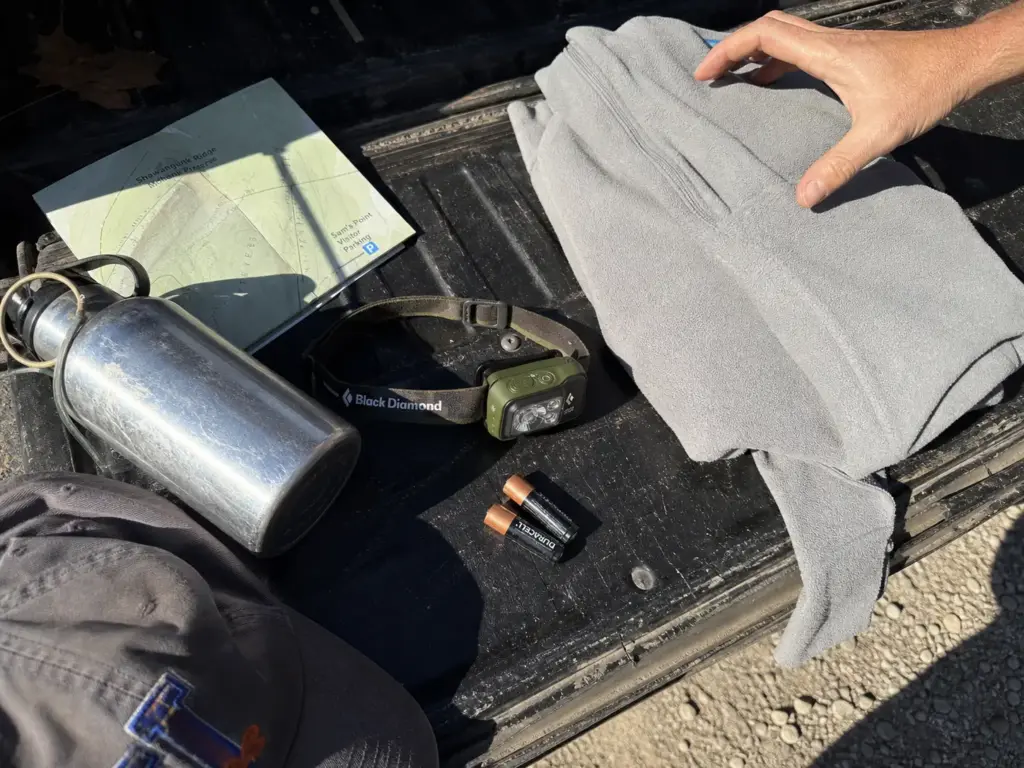
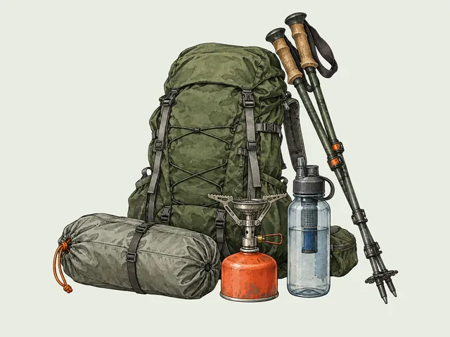
Generic day-hike lists don’t help here. Sam’s Point has three conditions that change what goes in your pack: the 55°F crevices, the wet ladder rock, and the fully exposed ridge. Each one moves exactly one item.
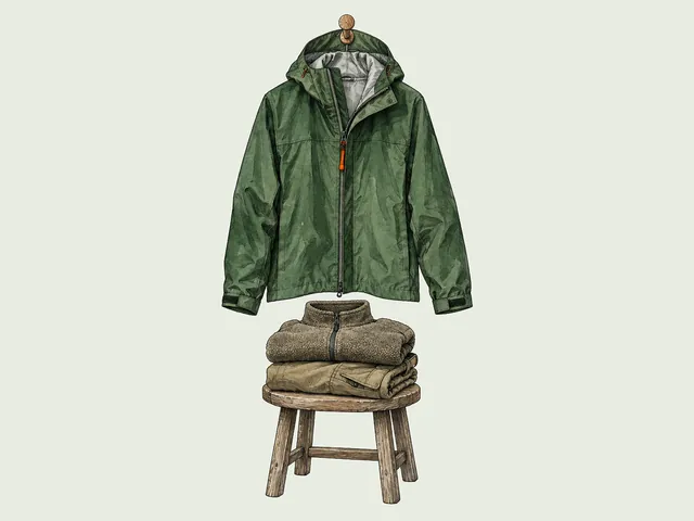
A light layer for the caves, even in July. This is the item everyone skips and half of them regret, because the temperature swing off a hot ridge into a cold slot is bigger than any forecast prepares you for. A thin fleece or a wind shell in the bottom of the pack costs you nothing to carry.
Footwear with real tread and ankle support for the ladders and wet rock. Required for the cave loop, not recommended. The boots covered back in the Ice Caves section are the category, and if you already own a mid-cut waterproof pair, that’s the answer.
A hands-free light source for the dark stretches. The phone in your pocket has a bright flashlight and it fails the only test that matters, because you cannot hold it and a ladder rung at the same time.
Water sized to the route, not to the day. Carry the full falls-route load in warm weather, because there is nowhere to refill on the ridge.
Sun protection for the same reason the water matters: the dwarf pines top out around chest height and throw no usable shade at all. A hat does more for you here than it does on most Northeast trails.
Poles, if you’re doing either of the long routes or expect wet conditions in the crevices. Several sources call them out specifically for the cave section rather than the ridge walking, which surprises people, but slick uneven rock in low light is exactly where a third point of contact pays off.
If you want the deeper version of all of this, a full gear breakdown covers the load-out logic beyond one park. And when you’re ready for the next trip, other NY state park preserves worth the drive are an easy hour or two from this ridge.
Conclusion
Book the session before you drive. Weekends and holidays, April 15 to November 15, AM or PM, opening 14 days out with same-day cutoffs at 8am and 1pm. A weekday visit inside that window skips the whole system.
Pick the hike by who’s in your group, not by which one sounds better on a map. Caves and overlook for families and short days. The falls if you have the half-day and the AM booking to hold it.
The caves are a scramble with ladders, not a walk through a cavern. Boots with tread, a light layer, and a hands-free light turn the hardest part of the day into the best part of it.
Start by checking ReserveAmerica session availability for the weekend you’re considering, then pick your hike from the sort above. That order, not the reverse. On this ridge the parking decides the day.
Frequently Asked Questions
01How long does it take to hike Sam’s Point?
It depends on the route: the Ice Caves loop with the overlook is a half-day at most, while Verkeerder Kill Falls runs 6 to 8.9 miles with 700 to 1,053 ft of gain, commonly cited near 4 hours. Budget the full AM session for the falls.
02Do you need a reservation for Sam’s Point?
Only on weekends and holidays between April 15 and November 15. Weekday visits inside that window and off-season visits need none. Sessions are AM (9am to 2pm, arriving 9 to 11am) or PM (2pm to close), open 14 days ahead through ReserveAmerica.
03Are the ice caves at Sam’s Point open?
The Ice Caves close seasonally, typically into winter and early spring, and access can stay impassible well into spring because the crevices hold cold and ice long after surrounding trails thaw. Check current conditions before any shoulder-season trip.
04Are there bears at Minnewaska State Park?
Black bears live throughout the Shawangunk Ridge and the wider Hudson Valley, so a sighting at Minnewaska or Sam’s Point is possible, though encounters on the busy trails are uncommon. Standard practice applies: keep food secured, don’t leave packs unattended, and give any bear plenty of room.
I've spent more than a decade researching hiking gear and trail technique. I read the specs, the forum threads and the long-term reviews, and every pick here comes with what it gets wrong.
End of the trail
You read every mile of this one. Here's where the trail goes next.