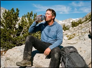
You have the AllTrails screenshot saved, the Metro-North schedule pulled up, and a free Saturday. The trailhead everyone photographs, the one right past the tunnel on Route 9D, is fenced off and has been since April 2025. The New York-New Jersey Trail Conference, the nonprofit that actually maintains these trails, puts a date on the other end of it, and that date is further out than almost anyone planning a Breakneck Ridge hike expects. Here is what is genuinely closed, what is still legally open, which hike gets you closest in the meantime, and what the climb demands from you once the fencing comes down.
What’s Closed at Breakneck Ridge, and Why
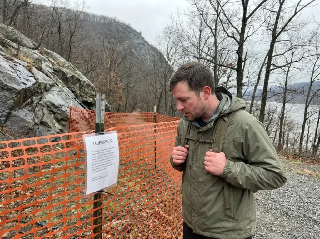
This trailhead closure gets described as “Breakneck is closed,” which is imprecise in both directions, and both errors cost people trips. Construction started in April 2025, and the New York-New Jersey Trail Conference confirms the closure runs until mid-2027. That is not “about two years.” It is a specific window, and it covers two full hiking seasons on either side of where we are now.
The Three Trailheads That Are Closed
Three access points are shut: the Breakneck Ridge trailhead itself, the Wilkinson Memorial Trail trailhead, and the Lower Brook trailhead. All three sit in the same stretch of Route 9D north of the tunnel, on the line where Putnam County hands off to Dutchess County. That clustering is why the closure feels total to anyone who has only ever approached from that side.
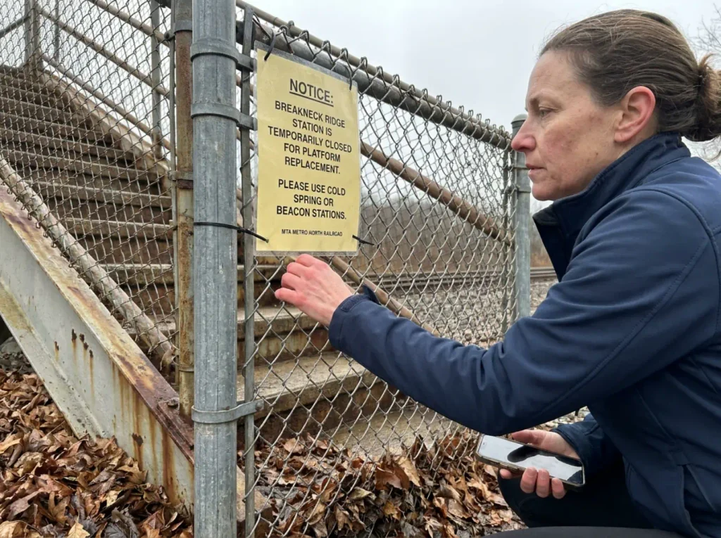
The one that catches people off guard is the fourth closure. The Breakneck Ridge station on the Metro-North Railroad is closed too.
That weekend train stop is the entire reason this hike became a car-free institution for New York City hikers, and right now the train does not stop there. If your plan involved stepping off a rail car and being at the trailhead in ninety seconds, that plan needs rebuilding from scratch.
Parking along Route 9D is not the workaround people assume. The closed trailhead parking prohibition is enforced, and the shoulder scramble was always the ugly part of this hike anyway. It is one of the specific problems this project exists to eliminate.
What’s Still Open in Hudson Highlands State Park
The park did not close. New York State Parks kept the rest of the preserve running: the Washburn Trailhead, the Notch Trail, and Little Stony Point are open and accessible throughout construction, which means there is real hiking on this side of the river right now. Hikers who read a closure notice as “the whole park is gone” cancel weekends they could have spent on excellent trails. If you are working out what’s still worth hiking out of Cold Spring while this drags on, the answer is more than you would guess from the headlines.
Check the trail-alert page the week of your trip, not the month before. Hikers still turn up at the fence off a bookmark they saved in 2024, drive two hours, and stand in a pull-off reading a sign. Closures in this park have shifted before.
The Breakneck Connector and Bridge Project
What is being built is the Breakneck Connector and Bridge, part of the Hudson Highlands Fjord Trail. According to the official project page for the Breakneck Connector and Bridge, the work includes a pedestrian bridge, an off-road connector path, formalized parking, ADA-compliant restrooms, and a rebuilt Metro-North station, plus habitat restoration running to 2,080 shrubs and 430 trees.
Read that list against the two complaints in nearly every Breakneck Ridge trip report from the last decade, and the closure stops feeling arbitrary. The complaints were always the shoulder-walk on 9D with traffic at your elbow, and the 7am parking scramble that turned a hike into a logistics problem. Those are exactly the two things the build targets. A closure that fixes the parking chaos and gets pedestrians off a state highway is a closure worth waiting out.
That said, mid-2027 is a long time to keep a region off your list over one trail. This corner of the state has more than Breakneck Ridge in it, and the wider guide to hiking this corner of New York is a better planning starting point right now than any single closed trailhead.
Where to Hike Instead While Breakneck Is Closed
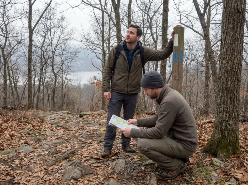
Every closure article says “there are other trails nearby,” which helps nobody. You want the hike that feels like the one you were planning, and you want to know how to reach it if you were counting on the train. There are two real answers, and both come with route names and mileage rather than a shrug.
Bull Hill via Washburn — the Closest Match
Bull Hill (you will also see it on maps as Mt. Taurus) from the Washburn Lot, running the Washburn, Cornish and Undercliff trails, is the closest thing going. The official closure hub’s list of comparable alternative hikes rates it 5 out of 5 for similarity to Breakneck Ridge, and that rating is coming from the people running the closure, not a blog making a guess.
Two versions: a 4.55-mile short loop, or a 5.6-mile full loop. Round trip time runs four to five hours either way, once you factor in the rest stops nobody plans for. It is a drive-to trailhead, or a 2-mile road walk from the Cold Spring NY station if you are on the train.
You get the steep climbing, the rock underfoot and the Hudson River views. The Cornish Trail section runs past the ruins of the old Cornish estate, which is a better mid-hike payoff than the Breakneck Bypass ever gave anyone. The rock is still Hudson Highlands rock, and it behaves the same way in the same weather.
Mt. Beacon via the Casino Trail — the Train-Friendly Option
If the train was the whole point, take the Casino Trail up Mt. Beacon from the Beacon NY station instead. Also rated 5 out of 5, 4.7 miles out and back, plus a 3.6-mile round trip on foot from the station to the trailhead.
The payoff at the top is the Mt. Beacon fire tower. The approach avoids Route 9D entirely, which is not a small thing when the alternative is walking a highway shoulder.
How to Choose Between Them
Simple split: driving, take Bull Hill. Riding the train, take Mt. Beacon. That is most of the decision.
Neither one gives you the white-blaze scramble. Be honest with yourself about that going in, because a substitute you resent is worse than a different hike you chose on purpose. What both deliver is the steepness, the rock and the river, which is three of the four things people actually go to Breakneck Ridge for.
If crowds are your real objection, there are quieter options. Fahnestock, the quieter twin of this whole ridge system trades the drama for solitude, and Storm King Mountain across the river, where the mistakes are different is worth the crossing if you want exposure without the parade.
What Makes Breakneck Ridge So Hard
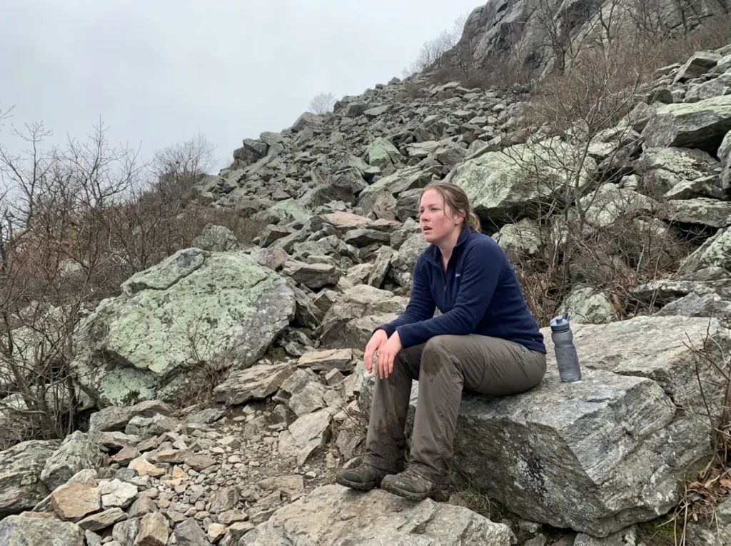
Reputations inflate. “New York’s toughest day hike” sounds like something a tourism board wrote. This one holds up, and the reason is more specific than “it’s steep.”
The First Half Mile Does Most of the Work
The white-blazed trail climbs roughly 950 feet in its first half-mile, at an average grade around 37 percent, over boulder fields and open rock slabs. Nothing about that is a warm-up. You go from the parking area to hand-over-hand climbing inside a few minutes, and your legs have not figured out what day it is yet.
That front-loading is the whole story of this trail, and it explains where things go wrong. Hikers who pace themselves the way you would for a switchbacked climb, saving something for later, discover there is no later. The hard part already happened.
Turnarounds and injuries cluster in the first 20 to 30 minutes, and it is not because those hikers were unfit. It is because they were pacing for a different mountain.
What “Scrambling” Means on This Trail
Rock scrambling here means sustained hand-over-hand climbing on real rock, not one awkward step-up you clear and forget. Your hands are on the mountain for long stretches. You are choosing holds, weighting them, and moving up. There is no rope and no protection, which is what separates a rock climbing scramble from actual climbing, and there is no walking it either, which is what separates it from hiking. It is also why stepping off-trail here carries a hazard it does not on a dirt path: leave the blazes for what looks like a shortcut and you are on unmaintained slab with nobody’s eyes on you.
If you want the technical vocabulary for it, where this sits on the scrambling scale will place it against Class 2, 3 and 4 terrain properly. The short version: this is squarely in the range where a slip has consequences.
Why the Elevation Number Misleads
The summit is 1,260 feet. Written down, that is nothing. People from bigger mountains read it and mentally file this as a warm-up hike, and the Hudson Highlands State Park Preserve’s official park page is not going to argue them out of it either.
The NYNJTC difficulty rating is blunter than any app’s. They call Breakneck Ridge generally the most strenuous hike in the East Hudson Highlands, with steep climbs over rock ledges that can be very slippery when wet.
The number that matters is not the summit height, it is the grade and the surface. A thousand feet of elevation gain spread over three miles of dirt is a pleasant afternoon. The same thousand feet compressed into a half-mile of slab is a different sport. For a local reference point, how it compares to Bear Mountain puts the gap in terms most Hudson Valley hiking regulars already have a feel for.
The One-Way Rule Most Old Guides Get Wrong
This is the gotcha, and it catches good hikers.
What Changed in 2021
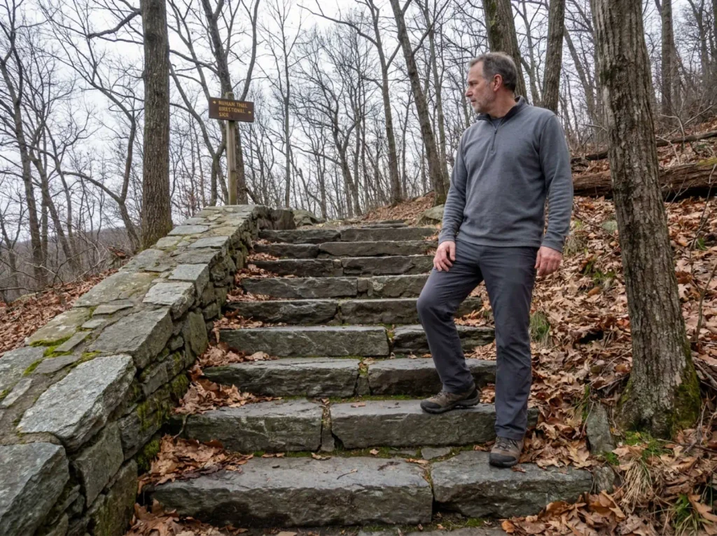
The Ninham Trail opened on July 1, 2021, built with more than 500 hand-cut stone stairs. Since it opened, the white-trail ascent is one-way. Up only. You climb the white blazes, and you come down by the Ninham Trail or by completing the Long Loop.
This is a structural change to how the mountain operates. It is not a courtesy, not a suggestion, and not a crowd-flow preference you can opt out of when the trail looks empty. Anything written before mid-2021, which includes a lot of still-popular trip reports and every printed map of a certain vintage, describes an out-and-back that no longer exists.
The reason the rule exists is worth understanding, because it makes it much easier to follow. On terrain where people climb with their hands, you cannot pass someone the way you would on a dirt trail. There is one usable line up most of the harder moves, and a hiker coming down occupies that line completely while looking for footholds they cannot see.
Two-way traffic on a slab does not produce a polite shuffle. It produces somebody perched on a marginal hold, arms tiring, waiting for a stranger to commit to a move. Making the ascent one-way removes that scenario from the mountain entirely.
The reason it still catches people is search results. The white trail was a two-way route for decades, and decades of writing about it is still online, still ranking, and still describing the descent that used to work. A guide from 2018 is not lying to you. It is just describing a mountain that has since changed its rules.
How to Plan Your Descent
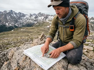
Plan the descent before you start climbing, because you cannot renegotiate it at the top. Know which trail you are coming down and roughly how long it takes, and check that against your daylight rather than your optimism. Carry a trail map you can read without a signal, because the junctions up top look nothing like they do on a screenshot.
Download the park’s map into Avenza Maps before you leave the car, and let it finish caching. Cell service on this ridge is patchy enough that live GPS navigation quits exactly where the junctions get confusing, and a cached georeferenced map still shows your position when the data does not load.
The practical consequence people miss is that this turns every trip into a loop, and loops have a fixed cost you cannot cut short. On an out-and-back you can turn around at any point and your day gets shorter. Committed to a one-way ascent, the shortest way home from two-thirds of the way up is usually still forward and over the top.
Budget the full route from the start, and understand that the descent is not the easy part on stone stairs. Going down 500-odd steps works your quads harder than the climb worked your lungs, and it happens at the end of the day when your legs are already spent.
Hikers who start down the white trail against the flow get turned around by other hikers or by trail stewards, which is the most avoidable inconvenience on this mountain. It is also a genuine hazard on scrambling terrain. Two-way traffic on ground where people are using their hands means somebody is standing in a bad spot waiting for somebody else to move.
And if the descent plan starts looking wrong mid-climb, that is information, not failure. When the right call is to turn around is a framework worth having in your head before you need it, because nobody thinks clearly about it while standing on a ledge.
Wet Rock, Winter, and the Calls That Actually Matter
Everybody writes “don’t hike in the rain.” That advice is useless on a Saturday morning when the sky is blue and the rock is not.
Why Wet Rock Changes Everything Here
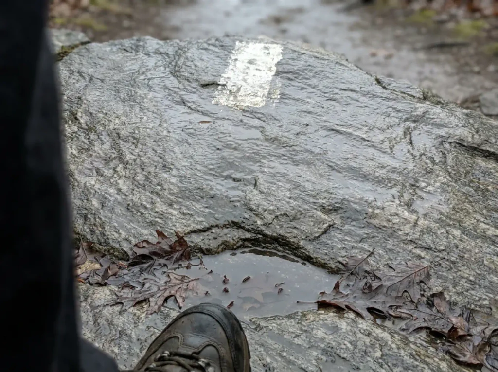
Hikers are advised never to attempt the white-trail scramble in winter or during and after rain, and the rock ledges are the reason. Wet rock on this trail has produced real injuries.
This is the single most repeated warning across independent trip reports, which is what makes it worth weight. One cautious person saying it is an opinion. Everyone saying it is a pattern.
The mechanism is simple and mean. Dry slab holds a boot sole well enough to walk up at angles that look impossible. Add a film of water and the same slab gives you nothing, with no warning transition between the two states.
Wet rock grip does not fade, it disappears. Your foot is there, then it is not. Learning how to read whether a hold is worth trusting pays off on exactly this kind of ground, where the difference between a good hold and a bad one is not visible from three feet away.
Reading the Forecast the Useful Way
“Is it raining” is the wrong question. “Has the rock had time to dry” is the right one.
Rain that stopped at 6am does not mean dry rock at 9am. Shaded north-facing slab, low sun angle in spring or fall, humidity sitting at 90 percent, and you have got wet rock under a clear sky.
Look at what fell, when it stopped, how much sun the face has had since, and how much wind. Then decide. A trail this front-loaded gives you an early read anyway, so if the first slabs feel greasy, believe them and go do Bull Hill instead.
The same problem shows up all over this region on the same kind of rock. The same wet-rock problem at Mohonk’s Lemon Squeeze is the nearest parallel, and the rules transfer cleanly.
Winter Is a Different Problem
Winter is not wet rock with a lower temperature. It is a separate hazard set: verglas you cannot see, snow filling the gaps between boulders so you cannot read what your foot is landing on, and short daylight against a route where the descent is the slow part.
If you are even considering a cold-weather attempt once this reopens, sort out whether your boots take traction hardware at all first. A flexible boot will not hold most traction devices where it counts, and finding that out on the third ledge is not a good use of your morning.
What to Bring for a Hudson Highlands Scramble
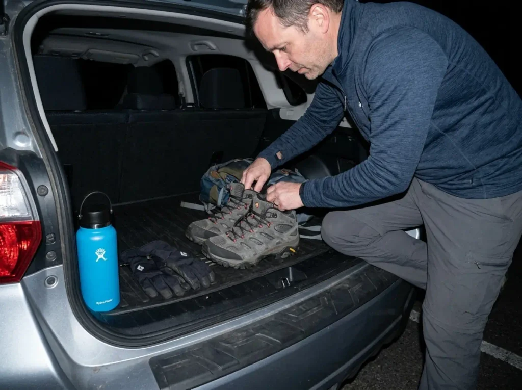
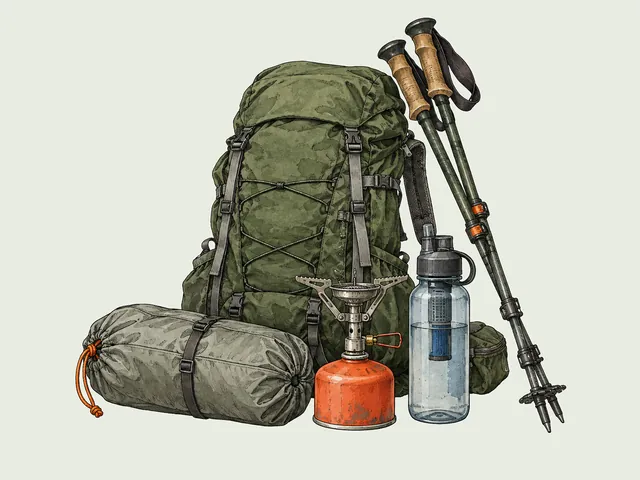
The gear conversation for this trail is short and specific. Your hands are on rock for a sustained stretch, your ankles are on uneven boulders, and you are in tick country. Everything else is normal day-hike kit.
Boots That Handle Boulder Fields
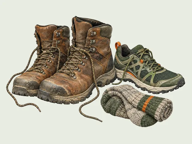
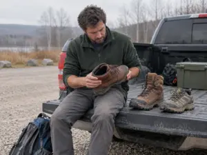
Mid-cut, waterproof, real ankle support, grippy sole. That is the spec, and the reason is the boulder field rather than the climbing. On slabs your foot is flat and the sole does the work. In the gaps between boulders your foot lands at an angle it did not plan for, and that is where ankles roll.
The Merrell Moab 3 Mid GTX (men’s · women’s) covers that spec without going full mountaineering boot. Gore-Tex, mid-cut collar, Vibram soles. Worth knowing about that rubber on this specific rock: the compound grips dry stone beautifully and loses a lot of that on wet stone, which is a rubber problem rather than a Merrell problem. No sole compound saves you from wet Hudson Highlands slab.
If your priority is grip over ankle support, approach shoes as the grip-first alternative are a legitimate other answer, particularly for people who scramble more than they carry weight.
Gloves for Hand-Over-Hand Rock
Gloves are not optional kit here the way they are on most day hikes. Sustained hand-over-hand contact with coarse rock sands your palms down, and the friction adds up faster than people expect over a half-mile of climbing. Bare hands get raw, and raw hands grip worse, which is the part that matters.
The Black Diamond Crag Gloves are the purpose-built option, with a synthetic leather palm and a breathable mesh back, designed for belay and via ferrata work where hands are on rope and rock for hours. They are a premium buy for what is, functionally, palm protection.
Which brings up the honest alternative. If you are doing this trail once, you do not need climbing gloves. The Mechanix Wear Original Work Gloves have a synthetic leather palm, a TPR wrist closure and touchscreen fingertips, they cost a fraction of the premium pick, and they protect your palms from sharp rock exactly as well.
The tradeoff is breathability on a hot day and long-term durability, neither of which decides a single Saturday. For the full comparison, the fuller breakdown on gloves for scrambling goes deeper on fit and dexterity.
Nothing gets carried in your hands. That one rule sizes your whole kit: the pack has to be small enough to sit tight on your back through hand-over-hand moves, the water has to live in that pack, and the phone goes in a zipped pocket. A water bottle swinging from a finger is how people end up committing to a hold one-handed.
Water and Tick Protection
A three-liter water load is the working minimum for this climb, and that number surprises people looking at a 4-mile day. The grade is why. You are working hard early, often in full sun on exposed rock with no shade and no water source anywhere on the route. Three liters is two bottles, or a bottle plus a reservoir.
A Hydro Flask 32 oz Wide Mouth (check it here) covers roughly a third of that in insulated stainless, and the insulation earns its keep on this trail specifically, because water that started cold at the trailhead is still cold at the flagpole overlook instead of being warm as bathwater by then.
Then tick precautions, because the Hudson Valley has them in quantity. The protocol is before and after, not just repellent and hope.
Before you start, Repel 100 (check it here) at 98 percent DEET goes on exposed skin and around cuffs and ankles. After, you do an actual check, and you want the removal tool in the car rather than a pair of eyebrow tweezers at home three days later. The TickCheck Premium Tick Remover Kit (check it here) is stainless, small enough to forget in a glovebox, and gets the whole tick out, which matters more than speed.
If you are building a kit for this kind of terrain generally rather than one trail, the wider scrambling gear checklist covers the rest.
Should You Bring Kids or a Dog
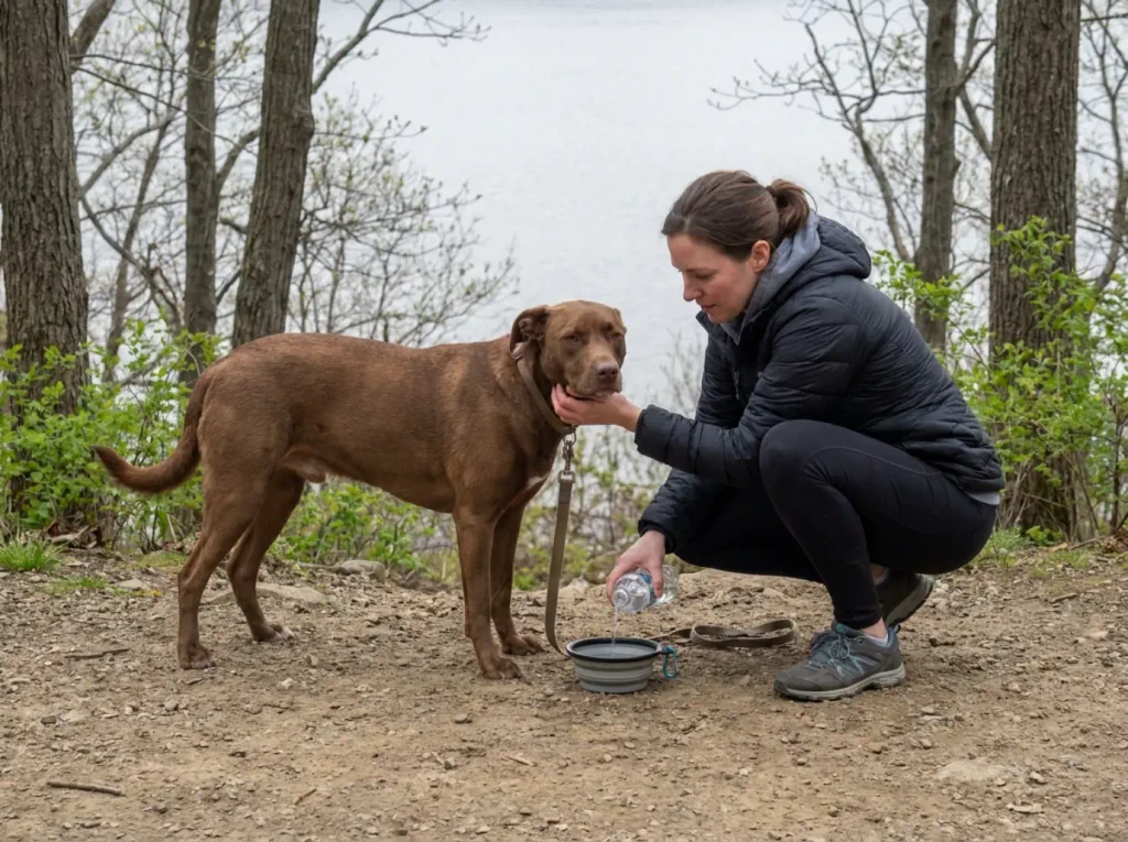
Most guides soften this. The terrain does not.
The Honest Answer on Kids
Not recommended for small children, and that is the whole answer rather than the opening of a negotiation. This is not a scramble section you get past in ninety seconds while holding somebody’s hand. It is sustained hand-over-hand climbing where an adult is using full arm strength and full reach, on holds spaced for adult limbs.
A capable, confident older kid who genuinely enjoys climbing on rock is a different conversation. A seven-year-old who liked the nature trail last month is not, and the place that becomes obvious is halfway up, with a line of people behind you and no way to descend the route you came.
The useful test is not age and it is not fitness. Plenty of small kids out-climb their parents on a playground. The question is reach and sustained duration. Holds on this trail are spaced for adult arms, so a shorter climber has to find intermediate holds that may not exist, or get lifted, over and over, for half a mile.
And the one-way rule removes the escape hatch that makes most family hikes forgiving. On a normal trail, a kid who has had enough turns around. Here, turning around is the harder option.
There is also the part nobody wants to say out loud: a struggling kid on a scramble means a parent climbing one-handed, which is how the adult gets hurt. The failure mode is not the child slipping. It is the adult managing the child.
Dog-Hoisting Is a Real Thing
The community has a word for it, which tells you how routine it is. Dog-hoisting is physically lifting your dog up onto a rock ledge because the terrain gives it nothing to climb. It happens at multiple points on the white trail.
So the rule is physical rather than temperamental. If you cannot lift your dog up a boulder, repeatedly, while you are tired, this is the wrong trail. Not “the wrong trail unless she’s really athletic.” The wrong trail.
Your dog’s enthusiasm does not extend her reach, and a big confident dog stuck below a ledge with hikers stacking up behind you is a bad situation for everyone including the dog.
Take them somewhere that works instead. The Bull Hill and Mt. Beacon options above are gentler in the parts that matter, and trails sorted by what your group can actually handle is a better starting point than picking the famous one and hoping.
The Bottom Line on Breakneck Ridge
The main trailhead and the Metro-North stop are closed until mid-2027. Plan around it, not on it, and check the alert page before you commit a Saturday.
Bull Hill via Washburn and Mt. Beacon via the Casino Trail are the two closest legal substitutes, both rated 5 out of 5 by the people running the closure. Drive to the first, train to the second.
When it reopens, remember that the first half-mile is the hike. Train for that, respect wet rock, and know before you leave the car that the descent is one-way.
Bookmark the NYNJTC trail-alert page and check it before any Hudson Highlands trip. Closures in this park have been moving targets for years, and that page moves first.
Frequently Asked Questions
01Is Breakneck Ridge open right now?
No. The main Breakneck Ridge trailhead, the Wilkinson Memorial and Lower Brook trailheads, and the Breakneck Ridge Metro-North station are all closed until mid-2027. The Washburn Trailhead, Notch Trail and Little Stony Point remain open throughout construction.
02Is Breakneck Ridge a difficult hike?
Yes. The NY-NJ Trail Conference calls it generally the most strenuous hike in the East Hudson Highlands. The first half-mile alone climbs about 950 feet at an average 37 percent grade over boulders and rock slabs.
03Why is Breakneck Ridge closed?
Construction of the Breakneck Connector and Bridge, part of the Hudson Highlands Fjord Trail. The project replaces the Route 9D shoulder-walk with a pedestrian bridge and off-road path, adds formalized parking and restrooms, and rebuilds the Metro-North station.
04What is Breakneck Ridge famous for?
The rock scramble. The white-blazed trail gains almost a thousand feet in its first half-mile over hand-over-hand terrain, with Hudson River views the whole way up, which is why it draws crowds from New York City despite a summit of only 1,260 feet.
05Can you still hike Bull Hill while Breakneck is closed?
Yes. Bull Hill via the Washburn, Cornish and Undercliff trails from the Washburn Lot is open throughout construction, and the official closure hub rates it a 5 out of 5 match for Breakneck’s terrain and views.
I've spent more than a decade researching hiking gear and trail technique. I read the specs, the forum threads and the long-term reviews, and every pick here comes with what it gets wrong.
End of the trail
You read every mile of this one. Here's where the trail goes next.