
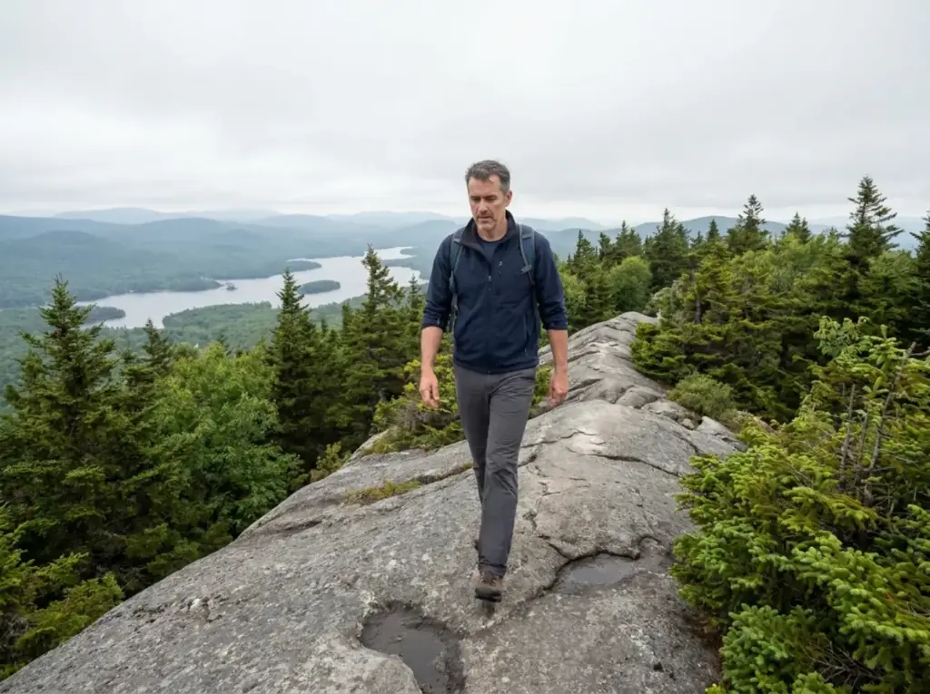
You searched Bald Mountain hiking trails and Google handed you five different mountains in five different states. That isn’t Google failing you. That’s the name doing what it has always done, because dozens of US peaks are called Bald Mountain and a bare summit was a description long before it was a proper noun.
New York got so tired of the confusion that in 1912 the state officially renamed the one most Northeast hikers actually mean, and people ignored the rename for the next hundred years. Here’s which Bald Mountain this is, what the trail does under your feet, who should think hard before walking the exposed summit spine, and what changes when the rock ices over.
Which Bald Mountain Are You Actually Looking For
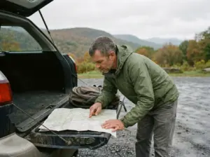
By now you probably have three tabs open and two of them are the wrong state. Let’s fix that first, because it’s the most useful thing this page can do for you.
“Bald Mountain” is one of the most common place names in the country. A treeless summit was a plain description, the kind of thing a surveyor wrote on a map without thinking of it as a name, so the label stuck to peaks all over: the Adirondacks, Vermont’s Northeast Kingdom, Oakland County in Michigan, the Colorado Front Range, BLM ground in California. None of them are wrong. They just aren’t each other.
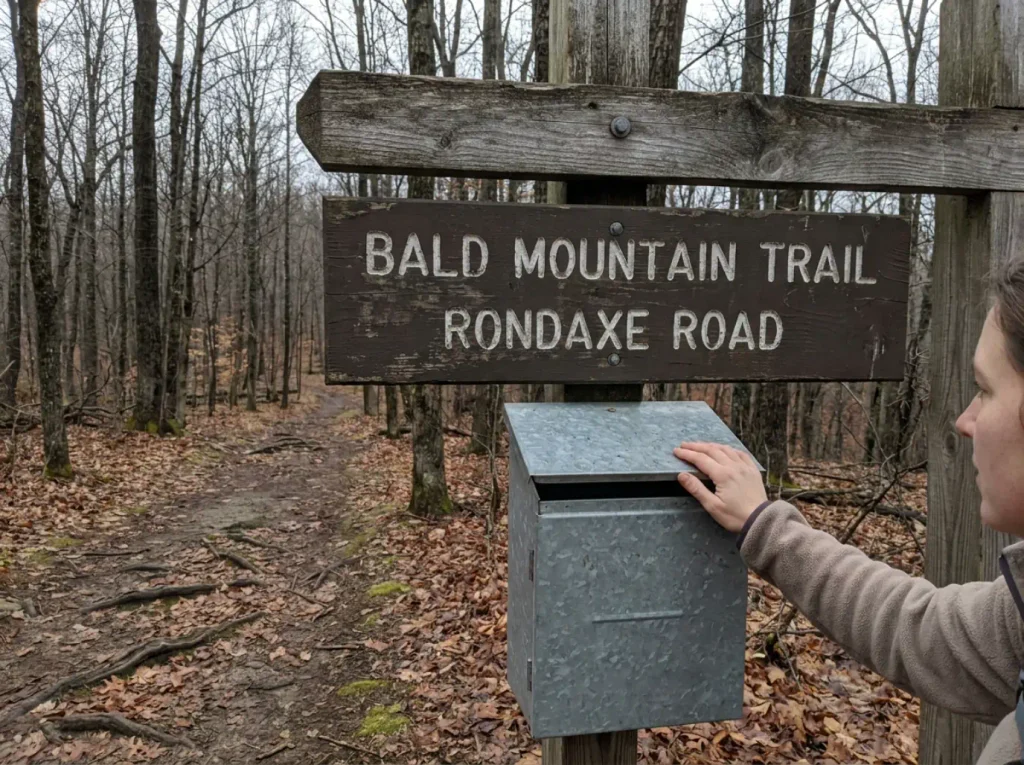
This guide is about the Adirondacks one. Trailhead on Rondaxe Road, a short turn off NY Route 28, between Old Forge and Inlet inside the Fulton Chain Wild Forest, which is state Forest Preserve land. The peak itself sits in Herkimer County, close enough to the Hamilton County line that the two get mixed up in trip reports as readily as the two names do.
If that isn’t your mountain, here’s the fast sort: the Bald Mountain near Lake Willoughby is Vermont, the state recreation area laced with mountain-bike loops is Michigan, and the scenic area outside Boulder is Colorado. Take the exit that fits.
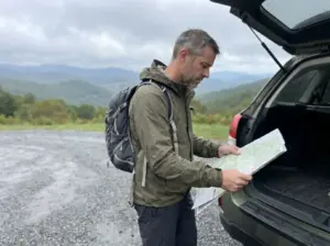
Plenty of well-known Northeast hikes hide a second, entirely different route behind one name, which is why picking the right route among look-alikes is worth ten minutes before you drive anywhere.
One more wrinkle, and it’s the local one. Around Old Forge people say Bald and Rondaxe interchangeably, mid-sentence, without noticing they’ve switched, and trip reports do the same. If you’ve been wondering whether you’re comparing notes on two different peaks, you aren’t. It’s one mountain with two live names, and the reason is a hundred-year-old argument with another Bald Mountain thirty miles north in Lewis County.
Bald Mountain Trail Stats and What They Leave Out
The numbers are small and honest. Trail distance is roughly 1.8 miles round trip, just under a mile each way on an out-and-back, with 400 to 500 feet of elevation gain (AllTrails logs it at 416). Most people are back at the car in 1.5 to 2.5 hours, and a good chunk of that is time spent at the top not wanting to leave. Call it a moderate hike rather than an easy hike, for reasons that show up in the last quarter mile.
Mountain elevation is where the sources stop agreeing. USGS survey records list the summit at 2,313 feet, while Adirondack Explorer and Protect the Adirondacks both put it at 2,349 to 2,350 feet. That’s a 36-foot spread on a mountain with barely 500 feet of climb.
Different survey datasets, not carelessness. The honest move is to say so rather than pick the number that sounds better, and if two guidebooks in your hand disagree, they’re both quoting somebody real.
What the mileage undersells is the shape of the effort. The elevation profile is front-loaded, and the last stretch trades dirt for open bedrock, so 1.8 miles here buys a very different hour than 1.8 flat miles on a rail trail.
That’s the thing raw numbers can’t carry. Hiking trail difficulty is a product of footing and exposure as much as distance, and people who cross-shop by mileage alone get caught by it constantly, which makes how a short New York climb compares once you’re actually on it the better question.
Then there’s the crowd. About 15,000 visitors a year come up this trail, the most of any fire tower in the Adirondacks. Plan for company. Regulars go early morning or on a weekday in the shoulder months, because on a bluebird Saturday the parking area and the summit ledges both fill and the narrow sections turn into a polite queue.
If the Rondaxe Road lot is full when you pull in, that tells you something about the summit, not just the parking. The ledges at the top are the real bottleneck, and the tower cab holds a handful of people at a time. Drive on to a second choice and come back at 7 a.m. tomorrow.
What the Trail Does Underfoot From the Trailhead
Getting there is simple enough that people overshoot it. For trailhead directions, take Route 28 between Old Forge and Inlet, NY, then turn onto Rondaxe Road; the trailhead parking area is on the left a short way in, and the whole hike stays inside the Fulton Chain Wild Forest, part of Adirondack Park. Protect the Adirondacks’ official trail notes for Bald Mountain carry the land manager’s version of the same directions.
No fee, no permit, and it’s a dog-friendly trail as long as yours is leashed. The lot is not large for a trail this popular, which is the practical argument for an early start. Everything you carry up comes back down with you, and on open bedrock with this much traffic Leave No Trace is less a principle than basic housekeeping, since there’s no duff to hide anything in.
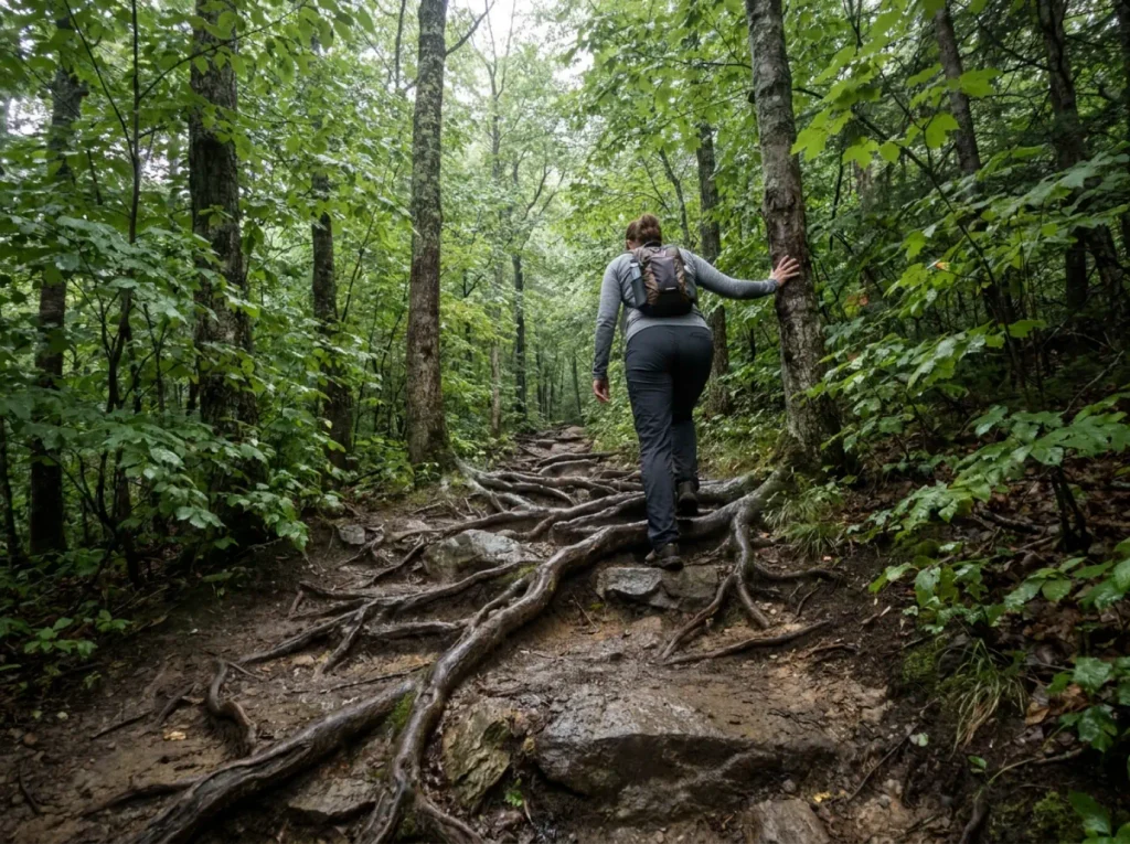
The first stretch earns the “easy” rating. Forest, roots, a steady moderate grade, nothing you need to think about.
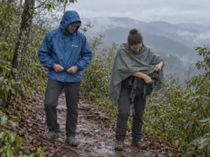
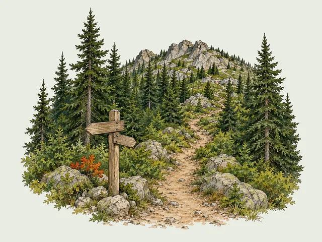
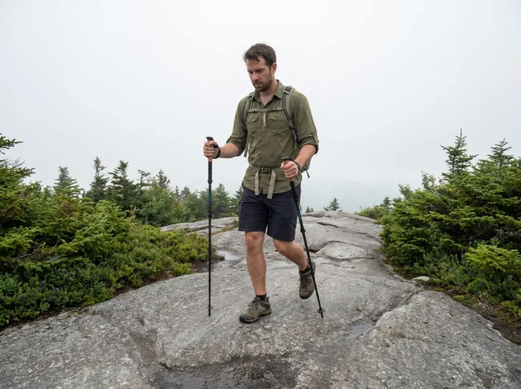
Then the trees thin and the trail steps onto open rock ribs, and the hike changes character. That bedrock has been polished by decades of boots, and polished rock goes slick fast when wet.
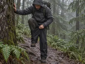
There’s no detour around it either, because the rock isn’t next to the trail. It is the trail. Hikers who come up an hour after a rain shower expecting the footing they had in the woods are the ones crab-walking down on the return.
Test the rock with a flat foot before you commit weight, not with the edge of your sole. Smooth Adirondack bedrock feels dry and grippy under a toe poke and then greases out the second your whole boot loads it. If your foot creeps at all, the descent is going to be the hard half of this hike.
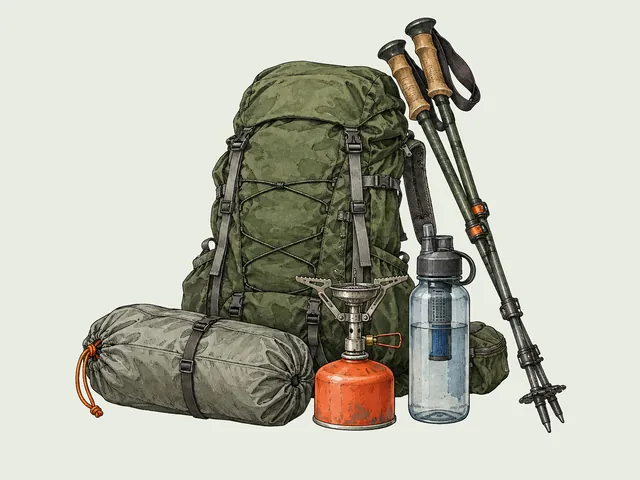
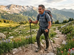
Poles earn their weight on exactly this stretch: two extra contact points steady you on the ribs and the narrow ground above them. The Cascade Trekking Poles are the value-tier carbon set that keeps showing up in Northeast day-hike kits without weighing anything on the way up. Collapse them for the tower stairs.
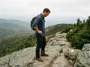
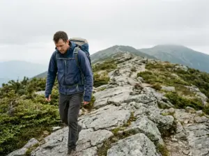
The last piece is what locals call the spine, or the scarp. Here the narrow trail runs along an exposed rock ridge that pinches to a few feet wide in places, with the ground falling away toward the Fulton Chain valley on one side. There are no switchback turns to break it up, just a direct line along the rock.
It isn’t technical. It’s just open, and open feels different from sheltered, which is what exposed rock actually asks of you on a New York day hike.
Then the tower: 35 feet of 1917 steel with an enclosed cab, and a 360-degree view over Second Lake, Third Lake and Fourth Lake strung along the Fulton Chain of Lakes. The ledges below the lookout tower work as a scenic overlook on their own, and the summit views from them take in Blue Mountain and the ridgelines beyond it on a clear day. You get the panoramic view whether or not you climb the stairs. Big payoff for under a mile of walking, which is exactly why this trail is as busy as it is.
Who Should Hike Bald Mountain and Who Should Think Twice
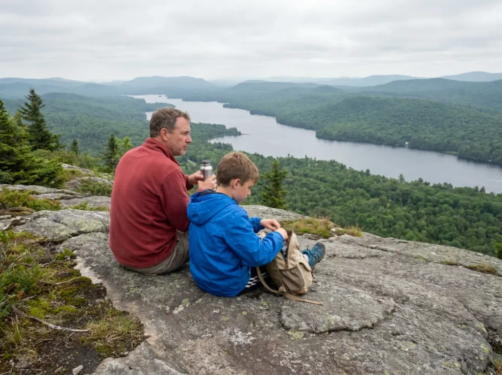
The people who have a rough day up here are almost never out of shape. They’re the ones who read “kid-friendly, under two miles” and brought a three-year-old to a bedrock ridge.
Start with who it works for, because that’s most of you. Confident kids who walk their own miles, average adults, anyone who wants a big view for a modest climb. AllTrails users have it at 4.8 stars across more than 3,700 reviews and list it among the best family trails in the Adirondacks. That reputation is deserved.
The split shows up in the reviews themselves. Parents are blunt: the hands-on scrambling near the top is not for a child who still needs carrying or a hand the whole way. If you’re weighing that call, how far kids can actually handle based on age and terrain beats the star rating, which is measuring something else entirely.
The practical test is simpler than the star rating: can the child walk the whole thing on their own legs, including the parts where hands come out of pockets? A kid who covers two miles on a flat woods trail is not automatically a kid who covers this one, because the difficulty here is concentrated in a stretch where carrying somebody is the worst available option.
For adults, the trigger is exposure, not fitness. Narrow ground with a drop on one side bothers some people and doesn’t register with others, and no amount of cardio changes which camp you’re in. Plenty of strong hikers get to the pinch point and discover something about themselves they didn’t know at the trailhead.
The timing is what makes it worth deciding early. The spine arrives near the end, after you’ve done the climbing, at the point where turning around feels like wasting the whole morning. That’s the worst possible moment to be making the call, and it’s exactly when most people make it.
So settle it in the parking lot instead. If open ground with air on one side is a known problem for you, this trail is still worth doing to the point where the trees thin out, and the woods section on its own is a pleasant walk. Deciding that in advance turns a retreat into a plan.
Worth saying plainly, because nobody does: the fire tower is a separate decision from the hike. You can reach the summit, sit on the ledges, take in the whole Fulton Chain, and never touch the stairs. Open steel over a long drop is a genuine dealbreaker for plenty of competent hikers, and skipping it costs almost none of the view.
Weather ends days here, not daylight. On a hike this short you’re never racing the sun, but the spine and the tower are both wind-exposed, and wind is what turns a pleasant summit into somewhere you don’t want to stand. That makes the turnaround math worth running before you commit a forecast question more than a clock question here.
Hiking Bald Mountain in Winter and Shoulder Season
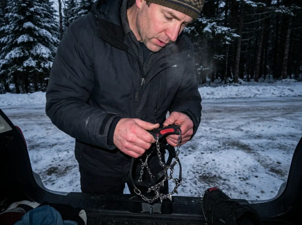
This is a legitimate winter objective, not a summer trail you endure in January. The tower stays open year-round and locals snowshoe it happily. But the two things that change in winter want opposite gear decisions, and that’s the part no trail page spells out.
First, the steep pitch. Ice builds there under low-snow conditions, which is the sneaky part, because those are exactly the days the trail looks most walkable from the lot. Bare ground at the trailhead tells you nothing about what the bedrock is doing four hundred feet up.
Kahtoola MICROspikes are the traction device regional guides keep naming for this pitch, sold as snow spikes in plenty of shops: 12 stainless points and an elastomer harness that goes over a normal hiking boot in about twenty seconds. Deeper snow flips the answer to snowshoes, and locals treat this as a real snowshoe objective. What they rule out flatly is skiing it, too steep and too rocky even under good cover. If you’re unsure which side of that line conditions fall on, when microspikes are enough and when they aren’t sorts it faster than guessing, and snowshoe technique on a pitch like this matters more than the snowshoes once it steepens.
Take your spikes OFF before you climb the tower stairs. The icy stairs are the trap. This is the one piece of winter beta for Bald Mountain that gets passed hiker to hiker, and it feels backwards until you try it: steel points on icy steel treads skate, while a plain boot sole and a firm grip on the rail do not. Pull them at the base, clip them to your pack, put them back on before you walk down.
Wind exposure is the other winter variable. The cab up top is enclosed and a decent place to stand, but every step of the climb to it is in the open, and gripping cold steel bare-handed in a stiff wind is its own small misery. Gloves you can hold a rail in beat gloves that are only warm, and the rest of the winter kit follows the same logic.
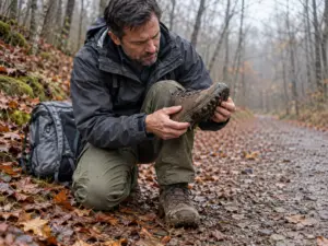
Shoulder season quietly offers the worst footing of the year. Late fall and early spring hand you wet, smooth bedrock with no snow to grip and often a thin skim of ice you can’t see, and no snowpack means most people leave the traction at home. Bare rock plus water plus nobody’s spikes is the combination that produces sit-and-slide descents.
The Fire Tower, the Name Change, and Making a Day of It
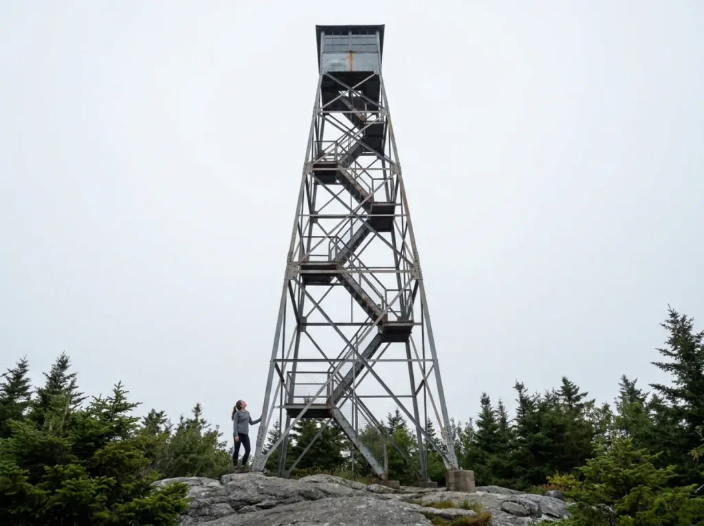
The history here isn’t decoration. It’s the reason this article had to open with a disambiguation section.
The compact timeline: Verplanck Colvin used this summit as a survey point in the 1870s and proposed renaming it Mt. St. Louis in 1886. Nobody went along with it.
Then in 1912 the state made it official and renamed the peak Rondaxe Mountain, for one specific reason: to stop people confusing it with the other fire-tower-topped Bald Mountain in Lewis County, thirty miles north.
So the name collision that sent you to five states this morning is over a century old. The state already tried to fix it once, the fix didn’t take, and locals kept saying Bald.
The towers have their own timeline. A 20-foot wooden platform went up in 1912, open to the weather, and the 35-foot steel tower with the enclosed cab replaced it in 1917. That 1917 structure is what you climb today.
It served as a fire observation station until 1990, when aerial detection made staffed lookouts obsolete. The trail restoration and tower rebuild that followed reopened it to the public in 2005, and it stays climbable because it is volunteer maintained. That is the only reason a retired fire tower is still standing instead of rusting behind a fence.
That restoration feeds a regional habit. Fire tower bagging is a real pursuit up here, formalized as the Adirondack Fire Tower Challenge and run as the Adirondack Mountain Club’s Fire Tower Challenge, which counts Bald Mountain toward its 23-tower list. Bald is one of the most-bagged of the set because it’s short and close to town, and a fair share of those 15,000 annual visitors are working a list.
Look at the steel before you look at the view. An Adirondack Explorer contributor found hand-scratched graffiti at the top of the tower stairs, a line from the writer Eden Phillpotts about the universe being full of wonderful things patiently waiting for our minds to grow sharper. Somebody carried that up here and left it where you’d find it out of breath. Worth ten seconds.
Which raises the thing nobody plans for: a sub-2-mile hike leaves most of your day unspent. Old Forge and Inlet cover the basics without research, food, gas, somewhere to sit down, and the Fulton Chain itself opens up paddling and the local rail options if you want a full day out of the drive. Building an afternoon around one short summit is its own small skill, and our full guide to planning a New York trail day around one destination walks through the structure. If you’d rather stack a second walk on top, there are other Adirondack trails sorted by effort within reasonable driving distance.
The Short Version Before You Drive
This is the Old Forge Bald Mountain, also called Rondaxe. If the trip report you’re reading mentions a different state, you’re reading about a different mountain, and no amount of cross-referencing will make the two agree.
The stats undersell the last stretch. Under two miles and 400-odd feet of gain sounds like a walk, and the first half is. The finish is open, smooth bedrock narrowing to a spine, slick when it’s wet and iced over when snow is thin.
In winter the traction goes on for the steep pitch and comes off before the tower stairs. Get that order backwards and the stairs are the sketchiest thing you do all day.
One last habit worth building: check the forecast for wind before you check it for rain. On a summit this exposed, with an open steel climb at the end of it, wind is what decides whether the tower is worth going up.
Frequently Asked Questions
01Where is Bald Mountain in the Adirondacks?
The trailhead is on Rondaxe Road just off NY Route 28, between Old Forge and Inlet, inside the Fulton Chain Wild Forest. Maps and older signage also list the peak as Rondaxe Mountain, which is the same mountain.
02How long does it take to hike Bald Mountain to the fire tower?
Plan on 1.5 to 2.5 hours for roughly 1.8 miles round trip with 400 to 500 feet of elevation gain. Add time at the top, because almost everyone stays on the summit ledges longer than they planned to.
03Is Bald Mountain a good hike for kids?
Yes for confident walkers, no for kids who still need carrying. The bedrock near the summit involves hands-on scrambling on open, exposed rock, and carrying a tired child across that section is the situation parents in the reviews regret most.
04Why is it called Bald Mountain if the official name is Rondaxe?
New York renamed it Rondaxe Mountain in 1912 to distinguish it from another fire-tower Bald Mountain in Lewis County. The old name never left local use, so both names are current and trip reports use them interchangeably.
05Can you hike Bald Mountain in winter?
Yes, and locals treat it as a snowshoe objective rather than a summer trail you tolerate in the cold. Bring traction for the steep pitch, take it off before the tower stairs, and expect wind at the top. It is not skiable.
I've spent more than a decade researching hiking gear and trail technique. I read the specs, the forum threads and the long-term reviews, and every pick here comes with what it gets wrong.
End of the trail
You read every mile of this one. Here's where the trail goes next.