The number every trail guide hands you for this waterfall is wrong, and it was wrong long before anyone said so out loud. Ask the regulars at that top viewpoint: they were calling it 60 or 70 feet on waterfall forums back in 2010, while every printed source kept insisting on 187. Somebody finally went out with an inclinometer and settled it. Here’s the real height of Verkeerder Kill Falls, where the correction came from, and what else you need to actually walk this hike, including the reservation system that turns cars around at the gate.
The 187-Foot Number Was Wrong, and Here’s What Replaced It
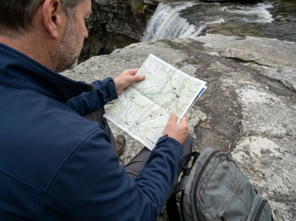
You drive two hours picturing something the size of a ten-story building. What you get is closer to seven stories. That gap between the printed number and the water in front of you is what regulars in the Gunks have been quietly grumbling about for over a decade, and it finally has a paper trail behind it.
The falls sit in the Sam’s Point Area of Minnewaska State Park Preserve, on the southern end of the Shawangunk Ridge in Ulster County, at 1,713 feet of elevation.
The current documented total drop is 79 feet, not 187, per the 2025 re-measurement documented on Verkeerder Kill Falls’ Wikipedia entry. The correction traces to Marc B. Fried, a local historian and naturalist, whose article “How High is Verkeerder Kill Falls, Really?” ran in the Shawangunk Journal on November 6, 2025.
Method matters here, because a lot of waterfall heights float around as somebody’s guess that got repeated until it hardened. This one didn’t. Fried organized inclinometer readings from fixed positions, then ran the trigonometric calculation to convert those angles into a vertical drop. Same basic geometry a surveyor uses, not a phone app reading barometric pressure.
Use the height figure as a date stamp on whatever you’re reading. A guide still printing 187 feet hasn’t been touched since 2025, which tells you the parking fees, the reservation rules and the seasonal cave closures in that same article are probably stale too. One wrong number is rarely alone.
The interesting part is how far ahead of the record the locals were. A February 2010 thread on the NYFalls.com Talk board has a longtime member describing the view from the top and putting the drop at “maybe 60-70 feet or so.” That post sat there for fifteen years while the official figure stayed at 187. Nobody had a reason to go re-measure it, so nobody did.
None of this demotes the waterfall. At 79 feet it is still the tallest inside Sam’s Point Preserve, dropping off a clean Shawangunk conglomerate lip into a hemlock ravine. It just isn’t the giant the old figure promised, and going in with the right expectation is the difference between being impressed and being vaguely let down.
Expect the old number to hang around anyway. AllTrails prints it, Tripadvisor prints it, and so does the park’s own official page.
Parking Reservations Are the Thing That Actually Stops People
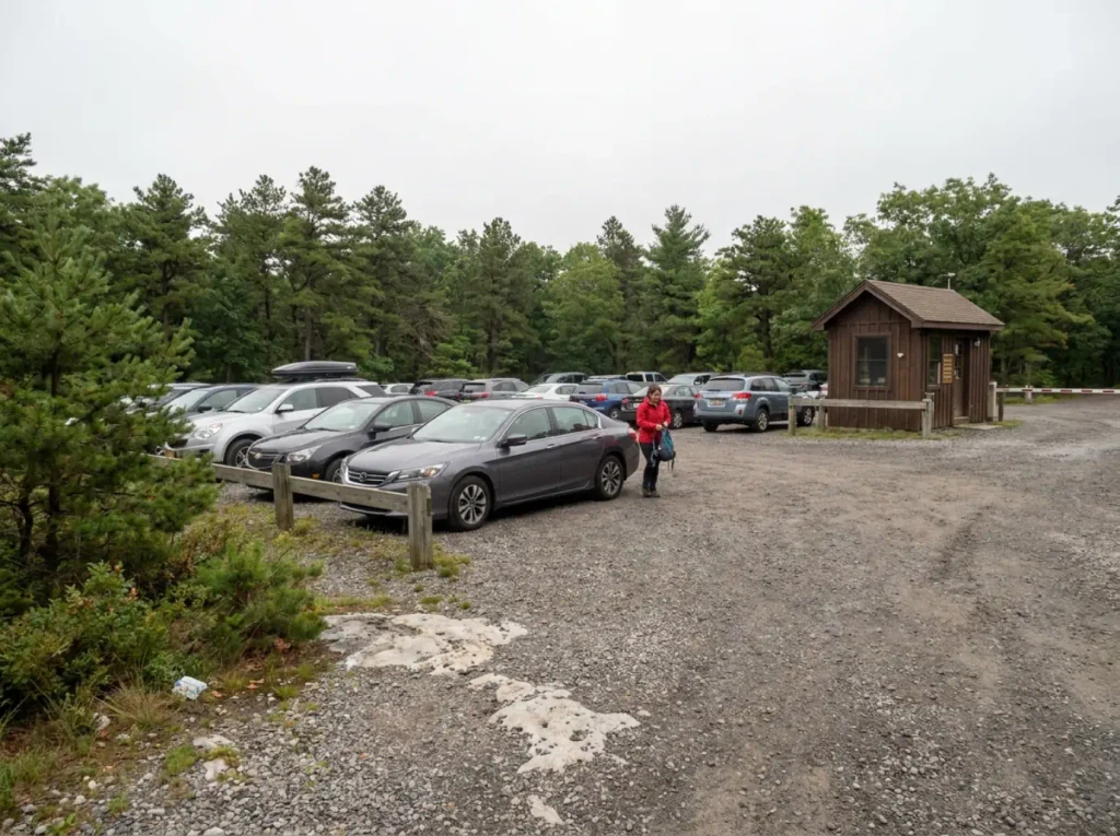
Nobody drives home from this trailhead because the hike was too hard. They drive home because a gate attendant told them the lot filled at 9:40 in the morning and there is nowhere else to put the car.
How the reservation window actually works
Reservations are mandatory on weekends and holidays from roughly April 15 through November 15, and the mechanics are laid out on the official Sam’s Point Area page at Minnewaska State Park Preserve. The day splits into two sessions: a 9 AM to 2 PM window where you have to arrive by 11 AM, and a 2 PM to closing window.
Each session is capped at 70 parking reservations, bookable up to 14 days ahead through ReserveAmerica. The vehicle entrance fee is $10 plus a $0.95 reservation fee, free with an Empire Pass. The gate itself sits above Cragsmoor, at the end of a climb most navigation apps underplay. Check that page before you drive, because fee structures and window dates shift year to year.
The rules that catch people out
No drop-offs. You cannot have someone leave you at the gate and walk in on foot, which sounds like a technicality until you’ve built a plan around it. Cars carrying bikes on the rack are also turned away during reservation periods.
The mistake that fills trip reports: someone drives up on a July Saturday without a booking, assuming a state park lot is a state park lot. There is no overflow area, and roadside parking on the approach gets ticketed hard.
What to do when it’s sold out
This is the part nobody writes down. NY Parks tells you the rules; almost nobody tells you what to do at 8 PM the night before when the rules don’t go your way.
Book the 2 PM session. It’s consistently the one still open when the morning window has been gone for days, and the falls are entirely doable in an afternoon on the 5.9-mile version. You lose High Point and Indian Rock, but you weren’t doing the 11.3-mile day on a whim anyway.
Go on a weekday, when the requirement doesn’t apply at all. The lot still fills, so early still matters, but there’s no booking system to lose to.
Shift to the shoulder season. Outside the mid-April to mid-November window there’s no reservation requirement, and the falls run better in spring anyway.
And the option nobody prints: take the day somewhere else. Minnewaska splits into three separate areas with their own trailheads, and the two that aren’t Sam’s Point run on different access rules. Driving to a full gate to argue with an attendant is not a plan. Having a second trailhead already picked is.
Trail-by-Trail Directions to the Falls
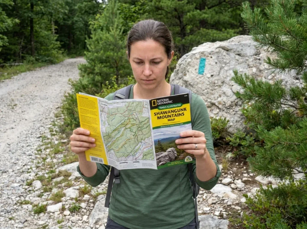
Route-finding here is genuinely easy right up to the junction where the gravel ends and the teal blazes start. That’s the point where a group that’s been talking for two miles goes quiet and starts checking phones.
From the trailhead to the Ice Caves junction
You start on Loop Road, the wide gravel carriage road that leaves from the visitor center. Carriage roads are the hundred-year-old paths that crisscross Minnewaska, Mohonk and Sam’s Point: wide enough to walk two abreast and built for horse-drawn traffic, which tells you everything about the gradient.
The Sam’s Point overlook is a short spur off this road and worth the few minutes. On a clear day the Catskills view opens north and the Taconics sit east. It’s also the last easy view before the trail gets serious.
The Verkeerder Kill Falls Trail and the teal blazes
At the Ice Caves junction the character of the walk changes completely. The carriage road ends, the tread narrows to singletrack, the footing turns to rock and root, and the blazes go teal.
Teal is the Long Path‘s marking color, and this section is part of that route, which runs from the George Washington Bridge north into the Catskills. Once you know that, the blazes stop being arbitrary and start being a thread you can follow. The Long Path also threads through Palisades Interstate Park further south, on terrain that looks nothing like this ridge.
From the Ice Caves junction, the falls are roughly 1.2 miles one-way.
Run the loop in the standard direction, falls first. NJHiking warns specifically against reversing it, and the reason is practical: going to High Point first front-loads the boring carriage-road miles and leaves the scrambling section as a descent. Downclimbing rock you could have walked up is slower, harder on the knees and less sure-footed, and you’ll be doing it tired.
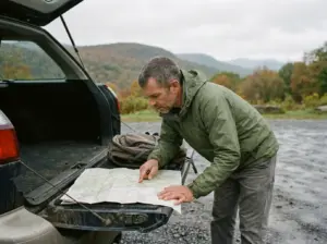
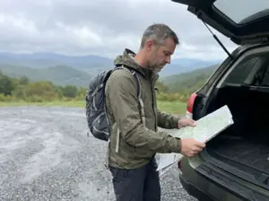
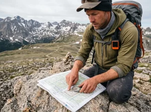
Navigation and why a paper map still earns its place
Phone signal on the dwarf pitch pine ridge is unreliable, cold mornings drain a battery faster than anyone plans for, and this network has enough intersecting carriage roads that guessing wrong sends you a mile off before you notice.
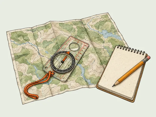
That’s the argument for carrying the Shawangunk Mountains Map from National Geographic’s Trails Illustrated series, Map 750. Waterproof, tear-resistant “Backcountry Tough” stock, full UTM grid, and it covers Minnewaska, Sam’s Point and a Mohonk inset on one sheet. Region-specific beats generic here, because a broad Hudson Valley topo won’t tell you which carriage road is which.
Four Route Options and How to Pick Yours
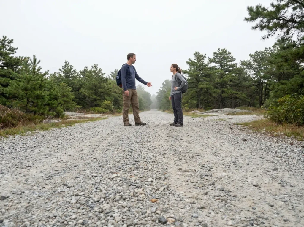
Every group has one person who wants the full day and one who is already thinking about lunch. Settle that at the trailhead rather than at mile four with half the group sitting on a rock. Every option below is rated moderate difficulty, which is true of the grade and misleading about the footing, so pick by round trip mileage and by how much rock you want under your hands.
The 3.8-mile version covers Sam’s Point plus the Ellenville Fault Ice Caves and skips the falls entirely. The right call with young kids or a late start, and the only variation where the waterfall isn’t part of the day.
The 5.9-mile version is Sam’s Point plus the falls, skipping the caves. Cuts about 1.2 miles and keeps the thing most people came for.
The 7.1-mile version adds the Ice Caves back in: the standard full loop, and what most people mean when they say they did the Verkeerder Kill Falls hike.
The 11.3-mile version adds High Point and Indian Rock. Long day, real scrambling, exposed ridge for a good chunk of it. Start early and mean it.
If there’s gas left in the tank on the long version, take the Indian Rock spur. It adds about 1.1 miles and hikers who’ve done it call it very worthwhile: a scramble down through a tight crevice opens onto a rock outcrop with a view all its own. It’s the kind of side-trip that gets skipped by people watching the clock and remembered by people who didn’t.
Here’s the beginner guidance the SERP won’t give you: the 5.9-mile version is the honest first-timer option, and not because of the mileage. It’s the unshaded ridge sun and the rock scramble sections where the trail stops being walking and starts being climbing with your hands. Six flat forest miles and six Shawangunk ridge miles are not the same day.
It’s the same two-destinations-from-one-trailhead decision hikers face on plenty of trail systems: one parking lot, two very different days, and the mistake is picking the bigger one because it’s there rather than because it’s what you came for.
The Stream Crossing at the Top of the Falls
Most trail hazards announce themselves. You see the exposure, you see the drop, you adjust. This one doesn’t. It’s a stream crossing on rocks, which sounds like the fifty other stream crossings you’ve done, except this one sits at the lip of a 79-foot drop with nothing below it.
What the crossing actually is
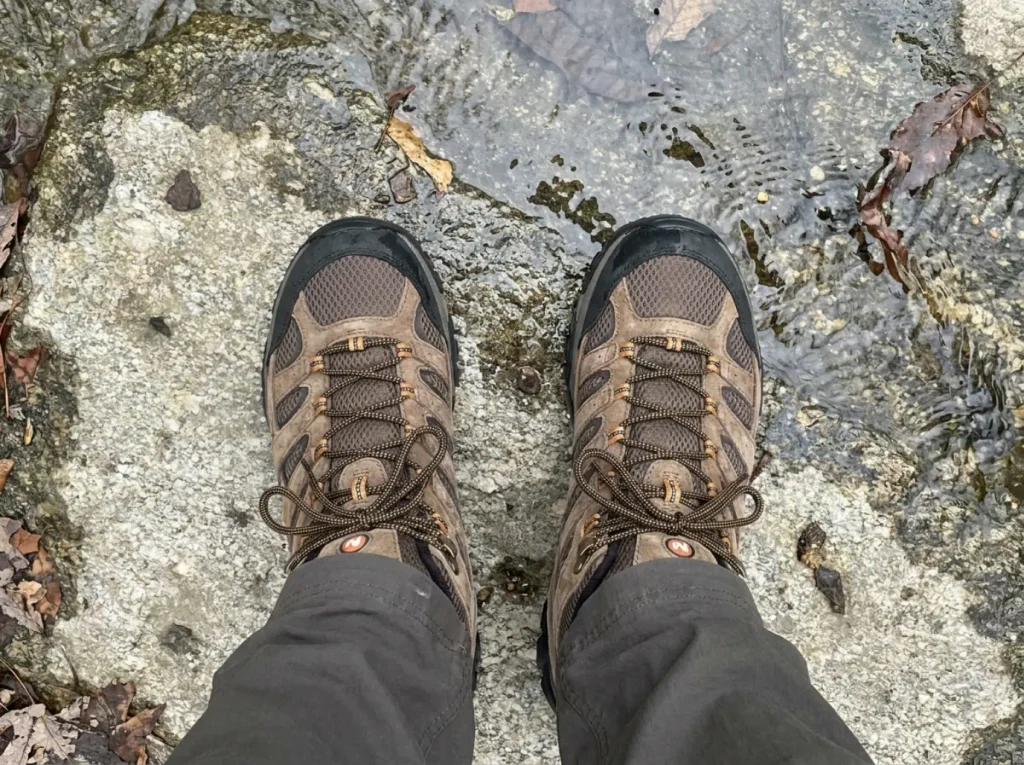
It lands around mile 4.2 of the standard route. You cross the Verkeerder Kill on rocks, passing directly over the top of the falls to continue toward High Point.
Picture the difference between this and a normal crossing. A normal crossing is boulders in a streambed with a bank on either side, and the worst case is wet boots. This is exposed, angled conglomerate slab, and the water sliding across your boots is the same water going over the edge a few feet away.
There is no bank on the downstream side. There’s air.
Which is where the corrected height stops being trivia: 79 feet is not the 187 the old guides claimed, but it is still a fall with no good outcome at the bottom. The number got smaller. The consequence didn’t.
The go/no-go call
Carry this rule and use it: if the rocks are running with water rather than just damp, don’t cross. Wait it out, or turn around and take the falls from the top viewpoint, which is the better view anyway.
The trap is that the two conditions arrive together. After heavy rain the crossing gets meaningfully harder, and the waterfall is at its most impressive. You’ve driven two hours, the plume is roaring, the photo is right there, and the rock is slick. That combination talks people across, which is the same wet-rock caution the Major Welch Trail demands a few ridges east: the conditions that make a scramble worth photographing are the ones that make it worth skipping.
Turning back at the crossing costs you High Point and Indian Rock. It costs you nothing you actually came for, because the falls are behind you at that point, not ahead.
Footwear for this stretch
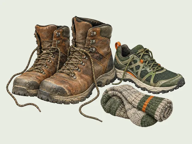
Wet conglomerate is slicker than it looks, and the trail in is rock-hopping for a good stretch before you reach the crossing itself. That’s the argument for ankle support and an outsole with real bite on wet stone. The Merrell Moab 3 Mid Waterproof Hiking Boot (men’s · women’s) is the standard answer for this terrain: waterproof membrane, mid-height ankle cuff, Vibram outsole underneath.
The honest counterpoint, because overbuying is its own mistake: on the dry-season 5.9-mile version, trail shoes are genuinely fine. The boots earn their keep on the wet days and the long variants, where you’re on angled rock with tired ankles and the margin gets thinner.
The Ice Caves Side-Trip
The name oversells it for most of the year. Show up in August expecting ice and you get a rocky, dripping crevice walk, which is still good, just not what the sign implied.
The loop adds about 1.2 miles and it is not a stroll: stairs, narrow rock passages, low ceilings you’ll clip your head on, dark stretches, and ladders. The Ellenville Fault Ice Caves formed where the ridge split along a fault line rather than where water dissolved rock, so they’re deep, straight-sided fissures rather than rounded caverns. There are seven things worth knowing before you go into the Sam’s Point ice cave that go past what fits here.
Timing runs opposite to what people expect. The seasonal closure holds until the ice inside becomes passable, and the caves run largely ice-free by late summer. So the season when the name is accurate is the season when access is least certain. Check before you build the day around it.
Bring poles or a stick for this loop specifically, even if you skipped them for the rest of the hike. The footing in the crevices is rugged, wet and uneven in a way the carriage roads never are, and it’s a completely separate problem from the crossing at the falls. Collapsible poles you can stow for the ladder sections beat a fixed stick you have to keep juggling.
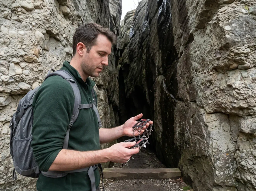
Traction is the piece nobody addresses honestly. The Kahtoola MICROspikes run 12 heat-treated stainless-steel spikes on an elastomer harness that stretches over whatever boot you’re already wearing, and the real argument for this traction device here has almost nothing to do with ice caving.
It’s the shoulder-season approach: slick, wet rock in a dark fissure where your foot slides before your brain registers it. Most of the year that rock is wet rather than frozen, and wet is where people go down. In actual ice season conditions on the ridge they stop being optional.
If ice and tight spaces aren’t your thing, skip the loop and take the 5.9-mile version. What people remember from this hike is the waterfall and the ridge views, not the caves.
Seasonal Timing and What the Falls Actually Look Like
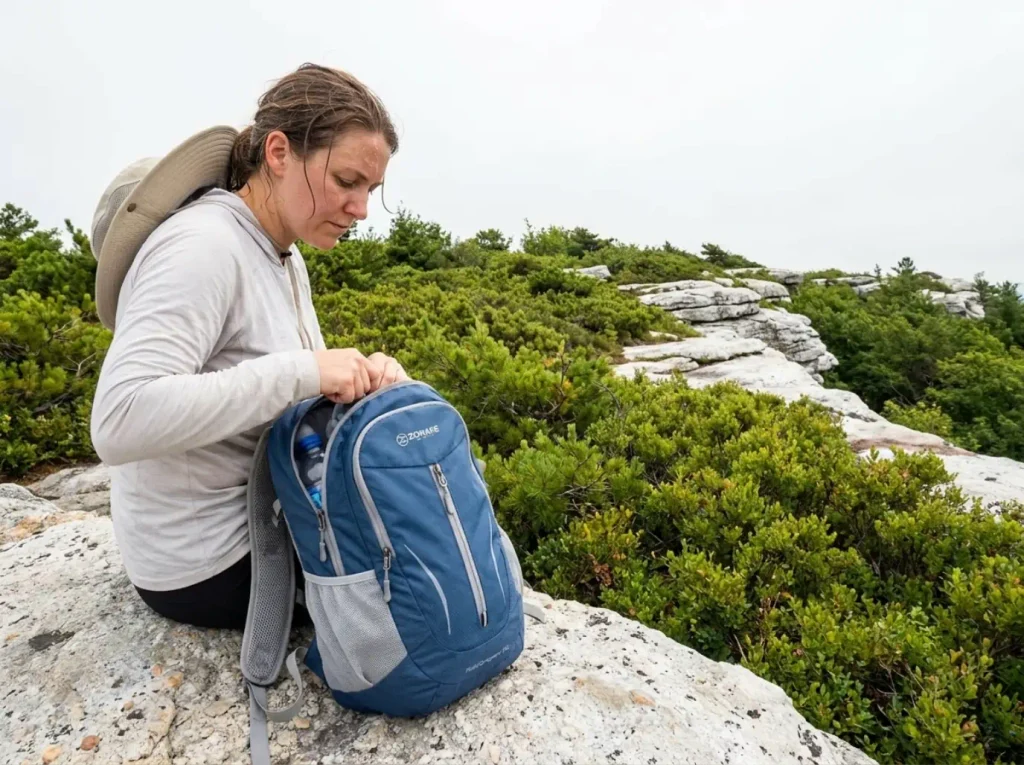
There’s a version of this hike where you stand at the viewpoint looking at a wet stain on a rock face, and a version where the whole thing is a white plume you can hear from a quarter mile back on the trail. The difference is entirely when you showed up.
Flow by season
The falls run as a full white plume during periods of high runoff and fade to a dry season trickle by late summer. Spring melt is the reliable window, and the two or three days after heavy rain are the other one. Late August is a gamble, and in a dry year it’s one you lose.
Which sets up the tension worth naming: the conditions that make this waterfall dramatic are the same ones that make the crossing at the top a no-go. You can usually have the falls at full volume or the complete loop. The falls are the better half of that trade.
Sun, exposure and what to carry
The dwarf pitch pine sections have almost no canopy. The trees on this ridge are stunted by thin soil and fire ecology, topping out below head height in places, so there’s nothing to hide under between the trailhead and the falls. Water, sunscreen and a hat matter here in a way they don’t on a forest walk of the same mileage.
Timber rattlesnakes live in the preserve and are protected by state law. You’re most likely to meet one exactly where you’d expect: sunny rock outcrops on the scrambles at High Point and around the falls. Look before you plant a hand on a ledge you can’t see the top of, and give any snake you spot a wide berth. They’re a non-event if you’re paying attention. The New York–New Jersey Trail Conference’s Shawangunk Trails map is worth checking for current conditions across the wider network before you commit to a route.
One more rule that trips people: no pets at Sam’s Point. Elsewhere in Minnewaska the rule is leashed dogs on a six-foot maximum; here it’s none at all. There are no trash receptacles either, so it’s carry in carry out for everything including fruit peels.
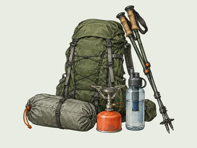
For a day in this range, 3.8 to 11.3 miles with no overnight and no technical gear, the day pack‘s whole job is water, layers, lunch and the Ten Essentials. The ZOMAKE 25L Ultra Lightweight Packable Backpack covers that at 25 liters and about ten ounces packed, in water-resistant nylon that folds to handbag size. Hauling a 50-liter frame up an exposed ridge because it’s what you own is a common and avoidable mistake. If you’re building the kit from scratch, the Ten Essentials checklist covers the rest of what goes in it.
Why “Stay on the Trail” Here Isn’t Boilerplate
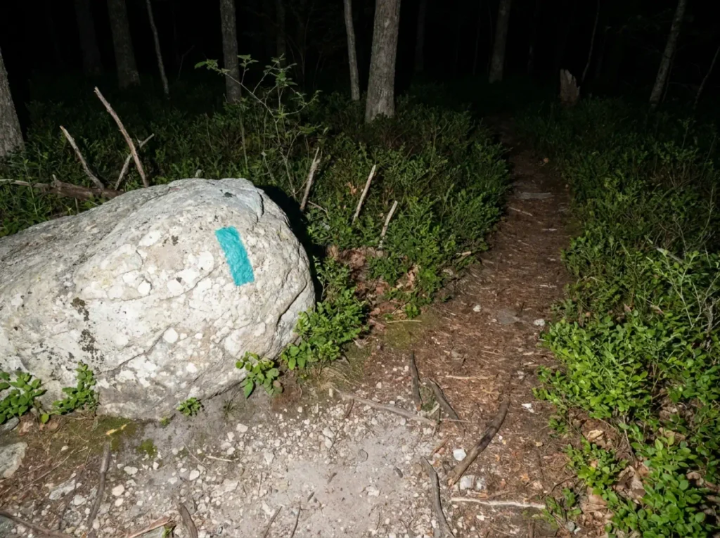
Every park sign says stay on the trail, and most of them are liability language nobody reads. This is one of the few places where the sign has a specific history behind it, and knowing the history makes it stick in a way the sign never will.
The access history
The land the falls sit on was privately held until relatively recently, and private property access shaped this whole corner of the ridge. It opened up when the Open Space Institute and The Nature Conservancy acquired the parcel, and only then did the Long Path get to run straight through.
Before that, thru-hikers on the Long Path detoured roughly 18 miles around the private property to get past this ground. Eighteen miles. A full extra day of walking to route around a parcel you can now cross in twenty minutes.
That detour is why the stay-on-trail messaging here reads differently from the generic version. This specific ground became legally walkable within living memory of the people who hike it, and the arrangement holds because hikers behave. Trampled vegetation and social trails here aren’t an abstract Leave No Trace problem. They’re what makes future access negotiations harder.
What “the base view” actually costs
The top viewpoint is an easy offshoot from the main trail near a rocky outcrop. Short, obvious, no scrambling. That’s the accessible view, and it’s the good one: the full drop, the ravine below, the ridge behind it.
The base is a different thing entirely, and this is where most guides get vague. There is no maintained trail to the bottom of Verkeerder Kill Falls. Reaching it means a steep, unofficial descent, and the accounts of people who’ve done it are not reassuring.
That same 2010 NYFalls thread has a poster describing a friend who took his climbing gear and rappelled down just to photograph the base. That’s the technical version. The walk-down version comes from a follow-up post by the same hiker that October: he found “several herd paths leading in all directions, plus some old trails that aren’t maintained any more,” and said it took “a bit of doing” to find a line that was steep but doable.
Herd path is the regional term for exactly that: an unofficial track worn in by repeated foot traffic, blazed by nobody and maintained by nobody. Several of them running in all directions means several people guessed differently, and the one you pick has no guarantee behind it. It’s the same Shawangunk Ridge scrambling-hazard pattern that shows up at Mohonk, where confident hikers commit to rock features that looked simpler from above than they turn out to be from halfway down.
The honest verdict: the base isn’t a second viewpoint, it’s a different activity with a different risk profile, on ground the preserve is asking you to stay off. Take the top view and go find lunch.
Conclusion
The falls are 79 feet, not 187, and that number now does double duty. It tells you what you’re going to see, and it tells you how current the guide you’re reading is.
Book the reservation before you book the day. That gate turns more hikes into drives home than the trail ever will, and the 2 PM session is almost always still open when the morning one is gone.
The crossing at the top of the falls is the one spot on this route that deserves a hard rule rather than a judgment call. Running water on the rock means turn around. The view from the top was the better one anyway.
Next time you’re planning a Shawangunk day, check the flow before you check the forecast. This waterfall pays out the day after rain far better than it pays out on a bluebird afternoon, and knowing that is the difference between the plume and the wet stain.
Frequently Asked Questions
01How tall is Verkeerder Kill Falls?
Verkeerder Kill Falls is 79 feet tall, based on a 2025 re-measurement using inclinometer readings and trigonometric calculation. The 187-foot figure still printed on most trail guides and on the park’s own page is outdated.
02Is Verkeerder Kill Falls the highest waterfall in New York State?
No, and the usual answer is shakier than it looks. Taughannock Falls gets the title at a cited 215 feet, but a 2018 survey put it at 209, and several Catskill and Adirondack falls likely beat it. Verkeerder Kill Falls is the tallest inside Sam’s Point Preserve.
03How long is the hike to Verkeerder Kill Falls?
Between 5.9 and 7.1 miles round trip from the Sam’s Point trailhead, depending on whether you add the Ice Caves loop. Adding High Point and Indian Rock stretches the day to about 11.3 miles.
04Do you need a reservation to hike at Sam’s Point?
Yes, on weekends and holidays from mid-April through mid-November. Reservations cap at 70 per session and open 14 days ahead through ReserveAmerica. Weekdays need no booking, though the lot still fills early.
05Are there ice caves at Sam’s Point?
Yes, the Ellenville Fault Ice Caves, on a loop adding about 1.2 miles with stairs, ladders and narrow crevices. They stay seasonally closed until the ice is passable and run largely ice-free by late summer.
I've spent more than a decade researching hiking gear and trail technique. I read the specs, the forum threads and the long-term reviews, and every pick here comes with what it gets wrong.
End of the trail
You read every mile of this one. Here's where the trail goes next.