


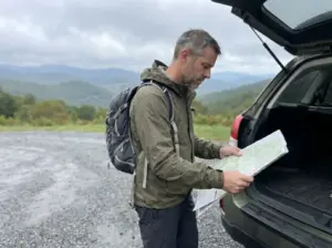
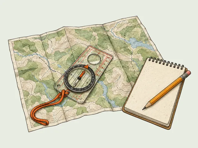
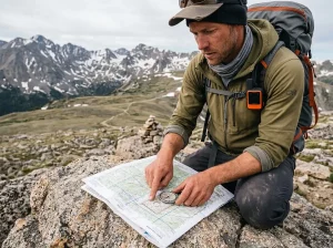




You have a Saturday, a full tank, and a browser tab holding forty hiking places in Connecticut that all read the same on paper. Three miles, moderate, nice views.
The mistake that keeps surfacing in trail forums is picking by mileage, and in this state mileage tells you almost nothing about what the next three hours will feel like. A 1.5-mile trail here can climb a basalt face; a 4-mile trail can be a flat gravel road with a pond at the end. So this rundown sorts Connecticut’s trails by the kind of day you actually have, an hour or a half day or a full one, plus the two things about hiking here that the trail listings leave out.
Why Connecticut Hiking Doesn’t Sort the Way Other States Do
In most states, a 3-mile hike means a walk. Here it might mean 600 feet of near-vertical rock in the first half mile, and the trail listing will still call it moderate. That mismatch has a specific cause, and once you know it you stop getting ambushed.
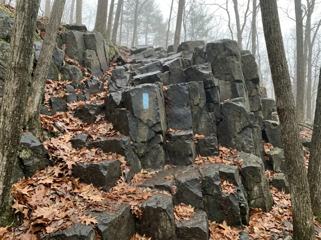
Connecticut’s signature hikes sit on traprock, the dark basalt that formed roughly 200 million years ago when this whole area was pulling apart. It cooled into hard sheets that later tilted and eroded into the Metacomet Ridge, the long spine of low, abrupt hills running up the center of the state from Long Island Sound toward Massachusetts.
Traprock does not weather into gentle slopes. It breaks into cliffs and talus, so the trails that climb it go straight up a short face instead of laying in a steep switchback across a long one. That is also why an easy moderate hard difficulty label travels badly here.
That is the whole explanation for why a Connecticut hike feels harder than its stats. Elevation gain per mile, not total mileage, is the number that predicts how the day will go. Six hundred feet spread across three miles is a pleasant grade. Six hundred feet in three-quarters of a mile is a stair climb with roots.
Locals use “traprock” as shorthand for exactly this, and once you hear a hiker say a 700-foot hill kicked harder than a 2,000-foot one out west, they’re not exaggerating.
Before you drive anywhere, divide the trail’s elevation gain by its one-way distance. Under 200 feet per mile is a walk. Between 200 and 400 is honest work. Above 400 and you’re using your hands somewhere, no matter what the difficulty label says.
The other thing that makes this state unusual is how connected the trails are. The Blue-Blazed Hiking Trail System, run by volunteers since 1929 and designated a state greenway in 2001, covers roughly 825 miles across 96 towns. Most of the notable hikes here are not standalone park loops but access points onto one continuous network, which you can see plainly in the Connecticut Forest & Park Association’s Blue-Blazed Trail directory. Walk far enough in one direction and you’re on a trail that keeps going for another fifty miles.
Two of those trails carry most of the traffic. The Metacomet Trail runs 62 miles and the Mattabesett Trail 65, and together with the Monadnock connector they make up what locals call the Triple-M, the Connecticut leg of the New England National Scenic Trail. Talcott Mountain, Chauncey Peak, Ragged Mountain: almost every “quick view hike” in central Connecticut is a short spur onto one of those two long trails. Which means the same trailhead that gives you a 90-minute outing can also give you an all-day ridge walk, if you keep going instead of turning around.
The trails that catch people are always the same handful. Sleeping Giant’s Blue and Violet, Ragged Mountain, the Jessie Gerard Trail up in Barkhamsted.
All short. All steep. All labeled in a way that makes them sound like an afternoon stroll. The label is the problem, not the trail.
If you want to see how Connecticut’s trails stack up against the rest of the country, the honest summary is that this state trades vertical scale for gradient, and the gradient is real.
Connecticut Hikes You Can Finish in Under Two Hours
The most common Connecticut hiking day is not a summit push. It’s a two-hour window wedged between a soccer game and dinner. These are the trails that pay off inside that window, and the sorting rule from the last section still applies. Short does not mean flat, and sorting trails by elevation gain per mile instead of by their difficulty label will tell you more in ten seconds than the trail description will in a paragraph.
What makes a short hike here worth the drive is almost always a specific named payoff. A tower, a cliff edge, a falls. Not the walking itself.
Talcott Mountain and Heublein Tower
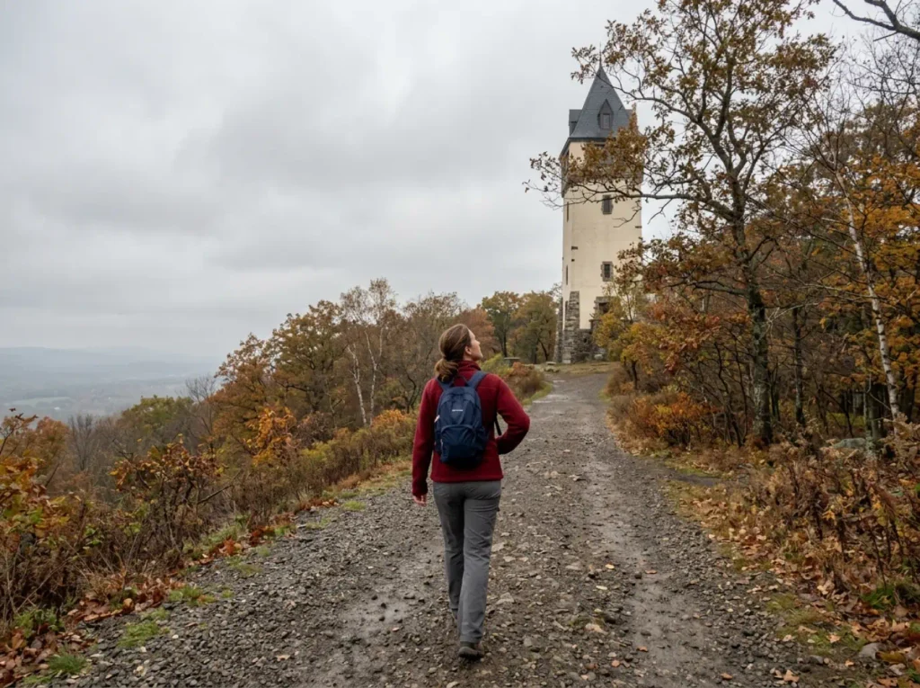
This is the one people take out-of-town guests on. The approach follows the ridge through mixed hardwoods, and Heublein Tower doesn’t sit in view the whole way. It appears over the treetops once you’re most of the way there, and the summit observation tower is the payoff rather than any single scenic overlook along the way.
The yellow-blazed route runs about three miles round trip with roughly 450 feet of gain, and the view covers the Farmington Valley north into Massachusetts on a clear day. The payoff arrives fast and hits well above what the approach asks of you.
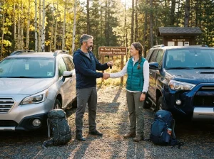
Which is why the lot is a problem. Trailhead parking off Route 185 is limited, and on a nice weekend the parking lot fills up and backs traffic out onto the road. This is not the usual vague “get there early.”
At Talcott, arriving by 9am is a specific deadline. Show up at 10:30 on a clear October Saturday and you’ll spend twenty minutes circling before driving home.
Check hours and access on the official Talcott Mountain State Park page before you go, especially in shoulder season when the tower has limited opening days.
Chauncey Peak and the Meriden Traprock
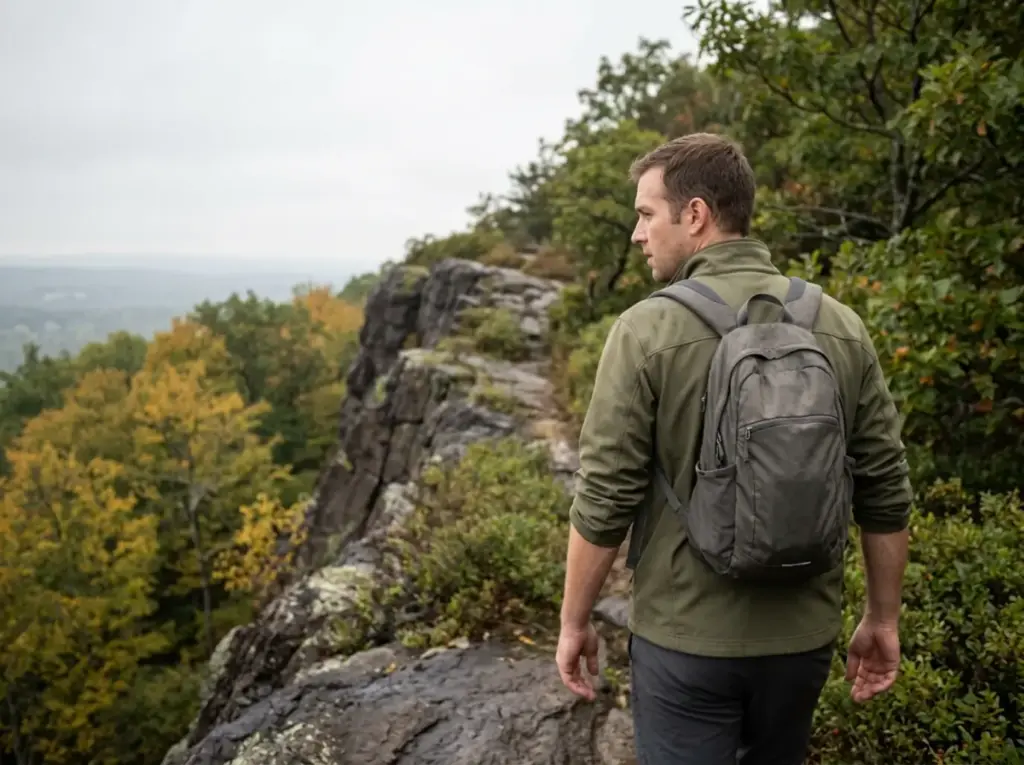
Same rock as Talcott, different character. Chauncey Peak in Meriden climbs fast off the reservoir and puts you on an open ledge overlook with a cliff edge drop off on one side and a quarry below. It’s under two miles of actual walking and it feels considerably bigger than that, which is the traprock pattern again.
Pair it with Lamentation Mountain if you want to stretch a short outing into a proper morning. The two connect along the ridge, and the walking between them is easy ledge travel.
Short Waterfall Walks
When the ridges are wet, water becomes the point instead of the view. Southford Falls in Oxford is a genuine ten-minute walk to a covered bridge and a cascade, the most family friendly trail on this list and the obvious pick when you’re hiking with kids. Kent Falls up in Litchfield County has a staircase climbing alongside a long series of tiered cascades, and you can do the whole thing in half an hour. Wadsworth Falls in Middletown gives you a big main falls a short walk from the lot and a smaller one further in for anyone who wants to keep moving.
These are also the trails that work in early spring when everything else is a mud slide. If you’re planning a hike around a waterfall, the trade is straightforward: you go right after the rain for volume, and you accept slick rock and full parking lots as the price.
Half-Day Hikes Where Connecticut Gets Steep
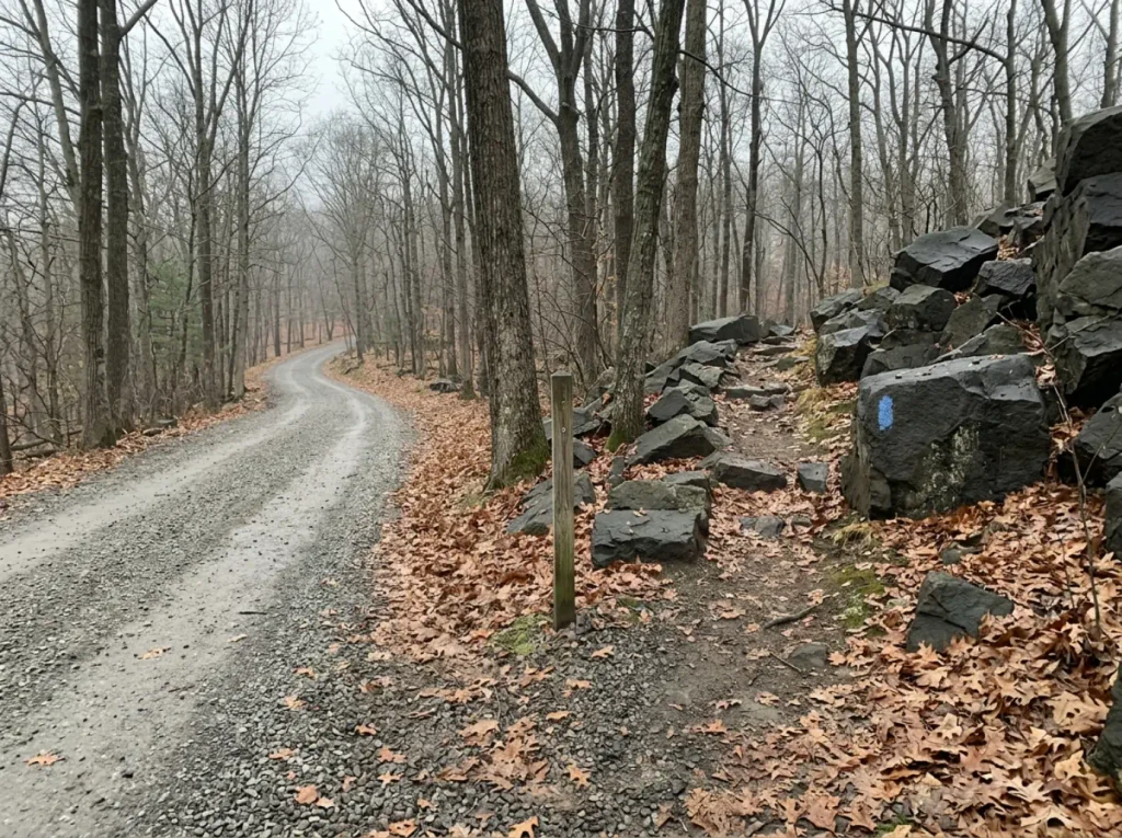
This is the tier where people get surprised. The parking lot looks like a picnic area. The trail leaving it climbs a basalt face. Budget three to five hours, expect to use your hands somewhere, and understand that “moderate” on traprock means something different than moderate in the Catskills.
Sleeping Giant State Park, and Picking the Right Color
The Giant, as everyone locally calls it, holds over 30 miles of trail across roughly 1,500 acres in Hamden. That trail density is the whole story here, because it means one gravel lot serves several completely different hikes.
The Tower Trail is the famous one: about 1.5 miles each way, roughly 600 feet of gain, ending at the stone tower on the 739-foot summit of Mount Carmel. It’s a wide gravel service road the entire way.
Strollers manage it. Grandparents manage it. It is, genuinely, the most reliable easy hike in the state with a real view at the end.
The Blue Trail and the Violet Trail leave from the same lot and are not that. They run the ridge line over the Giant’s head, chest and knees, with short ridge scramble sections where you’ll put a hand down, exposed ledge, and steep drops off the trail’s edge. Same park, same parking spot, completely different afternoon. One sign, two experiences, and the difference is a color.
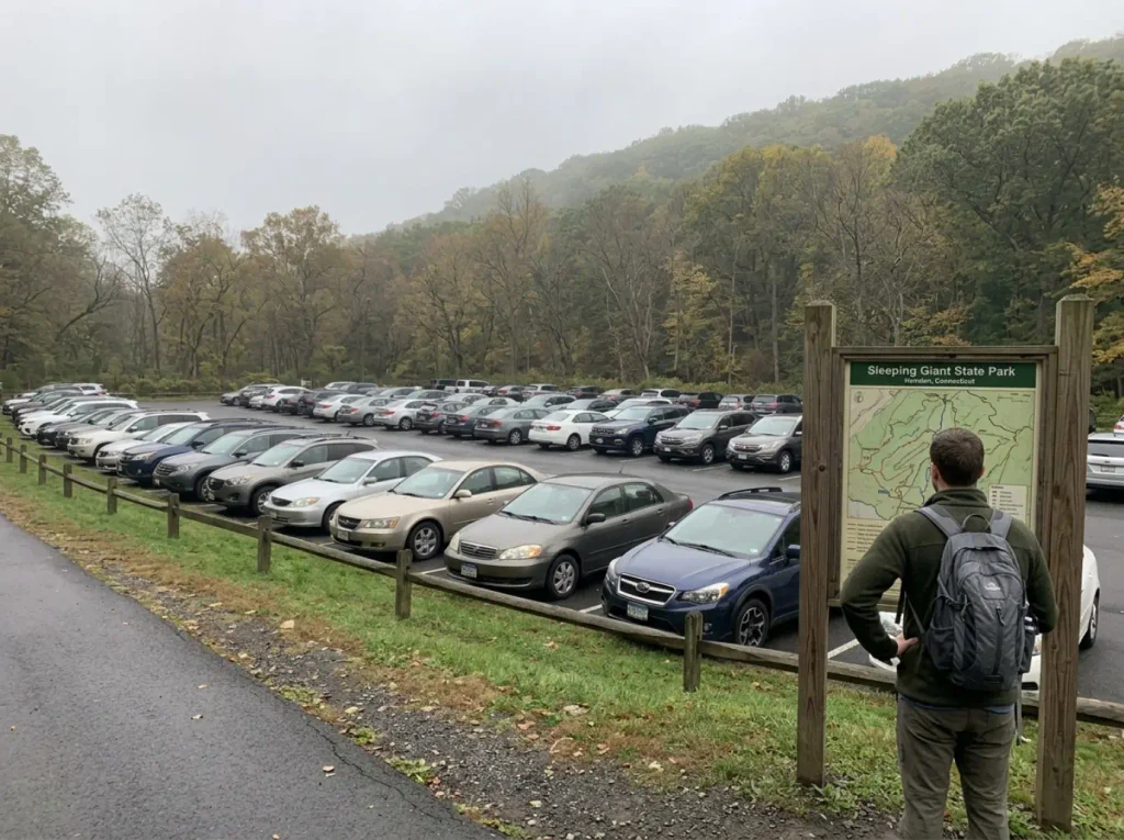
Confirm which blaze color you’re on before you commit, especially at multi-trail parks like Sleeping Giant. The trail map board at the lot takes sixty seconds to read and it’s the difference between a gravel road with your kid and an exposed scramble with your kid.
Ragged Mountain
Ragged Mountain straddles the Southington and Berlin line, a 761-foot traprock ridge with 56 acres actively managed for climbing and conservation access by the Ragged Mountain Foundation. Rock climbers have been working these cliffs for generations, which tells you what the rock looks like from below.
The hiking loop runs the ridge above those cliffs with several open ledges and a reservoir view. Same rock, same short-steep profile as the Giant’s harder trails, and the same tendency to gain most of its elevation in one push. If you want more of this terrain without a long drive, Giuffrida Park’s three trails in Meriden sit on the same ridge system.
When Wet Changes the Rating
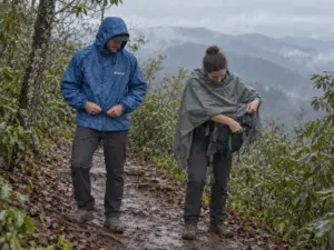
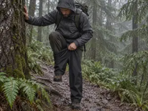
Traprock gets genuinely slick under rain, and it gets worse under wet leaves. The same scramble move that’s easy and fun in dry conditions turns into a real slip hazard in fall, when a layer of soaked maple leaves hides every foothold on a sloping slab. This is why several of these ridge trails see more injury reports in October and November than they do in July, when the terrain is objectively no different.
Two things follow from that. First, wet traprock is a reason to switch trails, not a reason to be careful on the same one. Move the day to a waterfall walk or a woods loop.
Second, if you’re already up on the ridge when the rain starts, the descent is the hazardous part, not the summit. Slow down before you think you need to.
Full-Day Hiking in Connecticut’s Northwest Corner
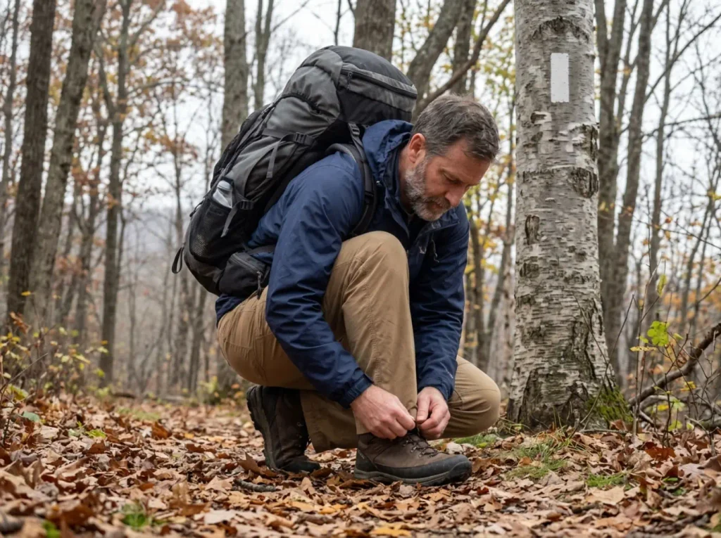
The northwest corner is where Connecticut stops feeling like Connecticut. The Litchfield Hills run up into the southern Berkshires, the hills get taller and the towns get further apart, and the days available up here are on a different scale than anything on the traprock ridges. If you want a sense of what a genuinely big Northeast day looks like for comparison, New York’s toughest day hike two hours west sets the ceiling. Connecticut’s best is calmer than that, and considerably less crowded.
The same goes for the Sam’s Point trails, caves and parking in the Shawangunks, which sit on the same kind of ridge geology and run on the same arrive-early rules as the busier Connecticut lots.
The Appalachian Trail Through Connecticut
The Appalachian Trail crosses Connecticut for 56.6 miles through the northwest corner, passing near Salisbury and Kent, running alongside the Housatonic River for a long flat stretch and then climbing onto the ridge. It’s a specific, hikeable segment, not an abstraction you read about in a Georgia-to-Maine context.
That length makes section-hiking straightforward: weekend pieces with a car shuttle, or single days picked off it. The river walk out of Kent is nearly flat and unusually pretty for how easy it is. The ridge sections north of there give you the rolling ledge-and-hardwood walking the AT does well in southern New England, with shelters spaced for thru-hikers along the way.
Bear Mountain and the Highpoint That Isn’t
Here’s the most-repeated piece of Connecticut trail trivia, and it’s wrong.
Bear Mountain in Salisbury tops out at 2,323 feet and is the highest peak wholly within Connecticut. It has a stone monument on the summit, a steep rocky climb to reach it, and a real view north into Massachusetts. It is the hardest sustained day hike in the state and it deserves the reputation.
But the true CT highpoint is 2,380 feet, and it sits on the south slope of Mount Frissell, whose actual summit is over the line in Massachusetts. So the highest ground in the state is a marked spot on a hillside, not a summit at all, reached from a different trailhead entirely on the Mount Washington Road side.
These are two different hikes. The mix-up sends people to the wrong parking lot every season, usually the ones chasing a state highpoint list.
If you want the mountain, go to Bear. If you want the highpoint, go to Frissell. If you want both, they’re close enough to combine into one long day, and that’s the version worth driving up for.
Rand’s View
Rand’s View is the AT viewpoint people drive to Salisbury for. The trail climbs out of town and opens onto a broad meadow with the Taconic Range laid out to the north, and thru-hikers consistently rank it among the better views in southern New England.
Treat it as a full-day objective rather than an afternoon errand. The approach isn’t brutal, but the drive up plus the walk in plus sitting there a while, which you will want to do, fills a day.
The Tick Problem Nobody Puts in a Connecticut Trail Guide
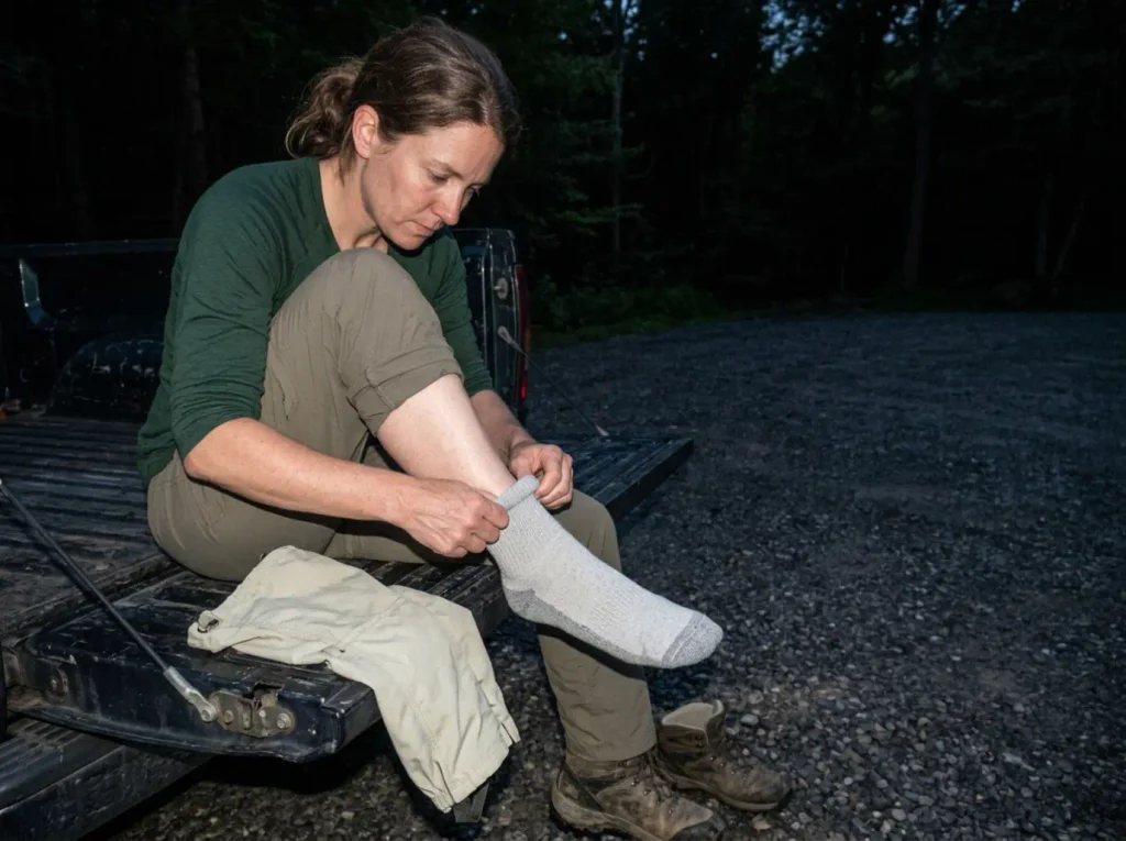
Every Connecticut hiking list skips this, which is strange in a state where roughly half the ticks tested carry the Lyme bacteria. This is not a scare section. It’s the one habit that makes the rest of this list safe to use.
The numbers are specific and they’re not comforting. Connecticut tick surveillance in 2026 found close to 50% of tested ticks carrying the Lyme disease bacteria, and on some collection days the figure ran above half. State health data logged roughly 2,200 confirmed cases in 2024.
Those aren’t ticks from remote backcountry, either. They’re from the same suburban woods edges and state park trails in this article.
The exposure window is also wider than most people assume. Heaviest deer-tick activity runs May through July, but the 2026 season started sending submissions to the state lab in early March, earlier than usual. The practical version: treat April through October as active tick season, not just midsummer. A warm February week will produce ticks too.
If you want the broader trail-use guidance from the agency that manages these lands, Connecticut DEEP’s responsible recreation guidance covers the rest of it.
The mistake that keeps showing up is skipping the check because “it was just a short walk.” Twenty minutes through tall grass or leaf litter is enough exposure. The Lyme rate doesn’t scale with your hike length, and the shortest, most casual outings are exactly the ones people don’t bother checking after. That’s the whole failure mode, and it’s why the Tower Trail crowd gets caught more often than the Bear Mountain crowd.
People who plan a big day pack like it. People who stop for forty minutes on the way home don’t.
The mechanism is worth understanding because it’s what makes the timing matter. A deer tick doesn’t bite on contact. It climbs aboard from the vegetation, wanders for a while looking for thin skin, then attaches and feeds slowly.
Transmission of the Lyme bacteria generally requires around 36 hours of attachment, because the bacteria live in the tick’s gut and need that long to migrate. That lag is the entire reason a same-day check works: you are not trying to avoid every tick, you are trying to find and remove them inside a window that’s a day and a half wide.
Miss the window and repellent choices from that morning stop mattering.
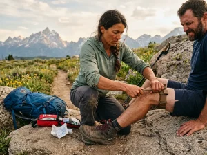
Check the four places people skip: scalp and hairline, waistband, behind the knees, armpits. Deer ticks go for thin skin in warm folds, not the shins you can see. A mirror or a second person beats a self-check, and the shower right after a hike is the easiest time to do it properly.
Repellent is the front half of that, and it works better applied to clothing than skin. There’s a three-stage tick defense that starts before you leave the car that lays out the full sequence, and gaiters do more than people expect because ticks climb up from the leaf litter rather than dropping from trees. On the clothing side, it’s worth understanding what permethrin-treated pants actually do, since treated fabric kills ticks on contact instead of just repelling them and stays effective through multiple washes.
What this changes about your trail choice is smaller than you’d think. The exposure is in the leaf litter and the tall grass along the Blue-Blazed corridors, particularly on narrow, overgrown sections in June. It is not on the open traprock ledges, where there’s nothing for a tick to sit on. So the wide gravel Tower Trail and the bare summit ridges are low-risk stretches; the brushy connector trail between them is where you pick things up.
Walking center-trail is also Leave No Trace practice, since widening a trail around brush is how corridors turn into braids. Walk center-trail through overgrown sections, tuck your pants into your socks if it’s genuinely narrow, and do the check when you get back to the car rather than at bedtime.
Picking Your Connecticut Trail Without Getting It Wrong
Everything above is a menu. This is the decision. Three checks, and the two rules that catch people out.
Match the Trail to the Day You Actually Have
Start with your time window, not with a trail name. An hour and a half gets you Talcott or Chauncey Peak with time to sit at the top. Four hours gets you Sleeping Giant’s Blue Trail or Ragged Mountain without rushing the technical parts. A full day gets you the northwest corner, and anything less up there means driving two hours to hike ninety minutes.
Then check elevation gain per mile, and set a turnaround time before you leave the house. That second one is what keeps half-day hikes from turning into headlamp descents on rock you can’t read in the dark. Building the plan backward from your turnaround time beats planning forward from the trailhead, because the constraint is always when you need to be back.
Parking Is the Hidden Difficulty Rating
Talcott Mountain and Sleeping Giant’s main lot are the two places in this state where a late arrival means driving home without hiking. Not a longer walk from an overflow lot. No hike at all.
“Get there early” is generic advice at almost every trailhead in the country. At these two it’s a hard deadline with a number attached: 9am on a clear weekend, earlier in peak foliage weeks. The northwest corner trailheads are the opposite, with room most days and a real chance you’ll have the summit to yourself on a Tuesday. Lot size is the same category of information as trail length.
Hiking With a Dog in Connecticut
Most of this list is dog friendly trail terrain, and the leash law for hiking with dogs here is specific. State parks and forests require a leash no longer than seven feet, with the dog under control at all times. Dogs aren’t permitted in buildings, swim areas or campgrounds, which matters at places like Wadsworth Falls and Kettletown where a swim area sits next to the trail.
“Off-leash if well-behaved” is not a Connecticut rule, and rangers do stop hikers with loose dogs, including on quiet weekday trails. There’s a practical argument beyond the citation, too: a seven-foot leash keeps your dog out of the exact leaf litter where the ticks are, and a dog is a far better tick transport system than you are. The wide Tower Trail and the Housatonic River Walk are the easiest dog days in the state. The exposed scrambles on the Giant’s Blue Trail are not, no matter how athletic your dog is.
If your sorting problem is bigger than one state, the same sorting problem one state south works through it with a different set of trails and the same logic.
Conclusion
Connecticut hiking rewards people who read the gradient instead of the mileage. Three things carry the rest:
Elevation gain per mile predicts the hike. Total mileage doesn’t, and traprock is why. A 761-foot ridge that gains most of that in half a mile will work you harder than a taller mountain with switchbacks.
The lot fills before the trail does. At Talcott and Sleeping Giant, arrival time is part of the difficulty rating, and 9am on a nice weekend is a real number, not a suggestion.
The tick check is the habit that makes every other trail on this list a good idea. Half the ticks tested in this state carry Lyme, and the check takes five minutes.
Pick the bucket that matches your Saturday, read the map board and confirm the blaze color at the lot before you commit, and do the head-to-toe check before you get in the car instead of after you get home.
Frequently Asked Questions
01What is the hardest hike in Connecticut?
Bear Mountain in Salisbury is the hardest sustained day hike, at 2,323 feet with a steep, rocky climb to the summit. For difficulty packed into less distance, Sleeping Giant’s Blue Trail and Ragged Mountain gain more per mile on short traprock scrambles.
02What are the major mountains in Connecticut?
Bear Mountain (2,323 ft) is the highest peak entirely within the state, though the true highpoint of 2,380 feet sits on the south slope of Mount Frissell, whose summit is in Massachusetts. Below those: Mount Carmel, Talcott Mountain, Ragged Mountain and Chauncey Peak.
03What are some of the best easy hikes in Connecticut?
Sleeping Giant’s Tower Trail is the state’s most reliable easy hike, about 1.5 miles each way on a wide gravel road with roughly 600 feet of gain. Southford Falls, Kent Falls and Wadsworth Falls give a waterfall payoff for very little walking.
04Do you need to worry about ticks hiking in Connecticut?
Yes, and more than in most states. Close to half of the ticks tested in Connecticut in 2026 carried the Lyme bacteria. Do a head-to-toe check within 24 hours of any hike, no matter how short it was.
05Are dogs allowed on Connecticut hiking trails?
Yes, on a leash no longer than seven feet and under control at all times in state parks and forests. Dogs are not permitted inside buildings, in swim areas or in campgrounds.

I've spent more than a decade researching hiking gear and trail technique. I read the specs, the forum threads and the long-term reviews, and every pick here comes with what it gets wrong.
End of the trail
You read every mile of this one. Here's where the trail goes next.