


You’re standing in the small dirt lot off Westfield Road at ten on a Saturday morning, and there are three ways to go. One climbs, one goes long, one just circles the water. The signs won’t tell you which fits the afternoon you actually have, because the trails here are marked by blaze color instead of name.
Ask around the Hartford hiking scene and the same three questions come up every time: which trail, where do I park, and how sketchy is that ridge really. This guide answers all three, plus the acreage numbers that never match and the reason the rock under your boots behaves the way it does.
What Giuffrida Park Actually Is (and Why the Acreage Numbers Don’t Match)
Look the park up and you’ll hit a contradiction within four minutes. One listing says 98 acres. Another says 598. Neither is a typo, and neither site explains the gap, which leaves you wondering whether you’re driving to a pocket park with a pond or a real chunk of protected ridgeline.
Here’s the resolution. The 98 acres is the core city-owned parcel: the land immediately around the parking area and Crescent Lake. The 598 acres is the functional recreational area, the connected open space carrying the Chauncey Peak and Lamentation Mountain trail systems out along the ridge. You park in the 98 and you hike in the 598.
The address is 800 Westfield Rd, Meriden, CT 06450. Officially it’s Doctor Francis Giuffrida Park, run by Meriden Parks and Recreation, and almost nobody in Meriden, Connecticut uses the full name out loud. It’s free, open sunrise to sunset, with no permit and no gate fee.
Crescent Lake, also called the Bradley Hubbard Reservoir, sits in the middle of everything. It’s a reserve water supply, which is the single fact that explains most of the rules you’ll read at the kiosk. No swimming, no boating, and a shoreline that stays undeveloped: no docks, no rental kayaks, no snack shack. A working reservoir gets protected in ways a recreational pond does not.
Geographically, you’re on the Metacomet Ridge, a traprock spine running north through central Connecticut into Massachusetts. Chauncey Peak and Lamentation Mountain aren’t standalone hills that happen to sit near each other. They’re two high points on the same continuous basalt formation, which is why they feel identical underfoot and why the summits connect so naturally on a longer day. If you’re weighing this against other options in the wider Connecticut trail scene, that ridge context matters more than the elevation numbers do.
One piece of local vocabulary. Ask a regular which trail they took and they’ll say the blue trail: the blue-blazed spine that forms the backbone of both peak routes. Those blazes are maintained by the Connecticut Forest and Park Association, whose volunteers look after most of the hiking trails Connecticut hikers rely on. Nobody says “the Mattabesett Trail section through Giuffrida Park” out loud, and neither will this guide.
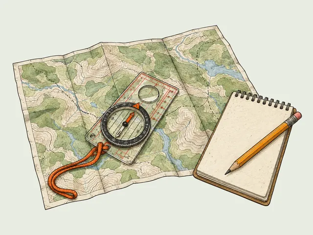
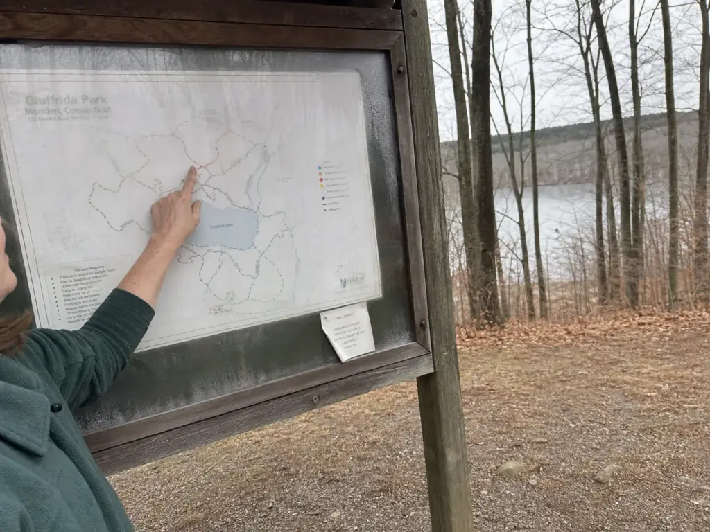
Screenshot the trail map before you leave the car. Cell service on the ridge is inconsistent, and the whole system is signed by blaze color rather than trail name. A map that loads at the summit beats one you meant to download at the trailhead.
Getting There, Parking, and When to Arrive
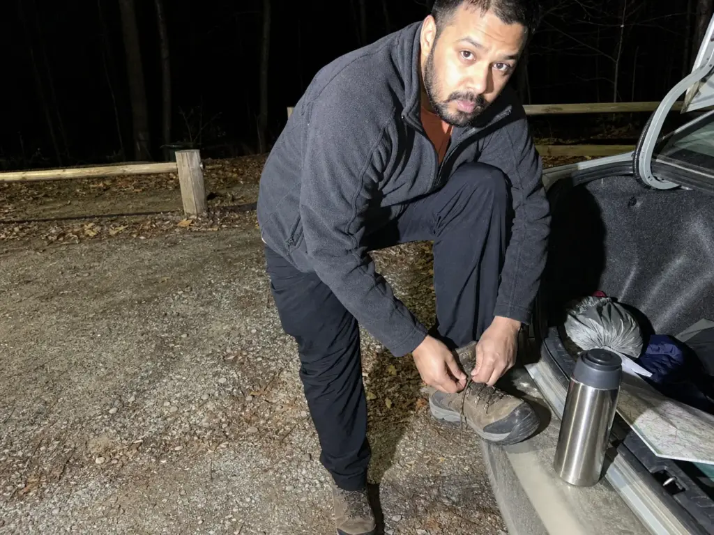
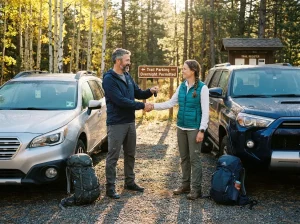
The unpaved parking lot is small, holding 15 to 20 vehicles depending on how considerately people park. On a gray Tuesday you’ll have it to yourself. On the first clear Saturday in October, the difference between a good morning and a frustrating one is about ninety minutes of alarm clock.
The pattern regulars describe is consistent: roll in around ten on a nice weekend and trailhead parking is gone, with no real overflow beyond the narrow shoulder of the access road. Arrive before 9am on any weekend with decent weather. That’s the whole strategy.
Getting there is straightforward from either major corridor. You’re pulling off the Route 15 (Merritt Parkway) and I-91 area on the east side of Meriden, and the landmark almost everyone navigates by is the Hunter Golf Club next door. If your GPS puts you at the golf course, you’re thirty seconds from the turn. The GPS coordinates most mapping apps return for the park itself will also drop you within sight of the entrance.
Fall is the honest trade-off. Fall hiking here is the best the ridge offers by a wide margin, with the foliage running out below the cliff line and the reservoir throwing the color back at you. It’s also the worst season for the lot, because everyone else in leaf peeper mode had the same idea. You can’t have the views without the crowd, but you can beat it by an hour.
What to Expect at the Trailhead
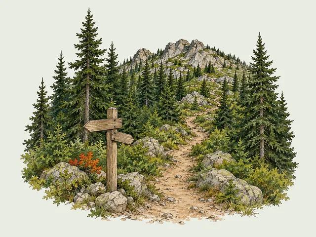
There’s a kiosk with a posted map and the park rules. From the lot, the blue trail enters the woods on the right, and that entry point is worth identifying before you start walking, because the direction you pick shapes the entire hike. This is part of Connecticut’s blue-blazed hiking trail system, so the signage is paint rather than named posts: blue blazes carry the peak routes, white blazes the lake loop, with red blaze and yellow blaze connector spurs between them. Follow paint, not intuition.
Rules That Actually Get Enforced
The leash law applies to dogs at all times. Swimming and boating are prohibited, because this is a reserve water supply and not a swimming hole. Rock climbing is prohibited on the cliff faces, and fishing requires a valid Connecticut fishing license.
None of that is arbitrary. The leash rule protects ground-nesting wildlife and the snakes we’ll get to later, the water rules protect the city’s drinking water, and the climbing ban protects the traprock faces and the raptor migration corridor that runs along this ridge. Standard Leave No Trace habits cover the rest: pack out trash, and travel on durable surfaces by staying on the blazed tread instead of cutting your own line across the rock.
If you’ve dealt with the same early-arrival math at other small Northeast trailheads, none of this will surprise you. Small lot, big regional draw, one narrow window in the morning.
Chauncey Peak — The Short Loop Most People Come For
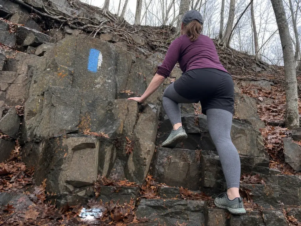
This is the day hike people mean when they say they went to Giuffrida. It looks intimidating from the parking area, because you can see the cliff line and your brain does some quick unhelpful math. Then you walk it and it turns out to be manageable, assuming you go the right way around.
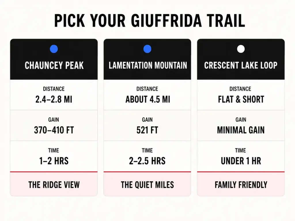
The numbers: 2.4 to 2.8 miles round trip, roughly 370 to 410 feet of gain, one to two hours. It’s rated moderate difficulty, and the summit sits at 688 feet, which does the hike no favors, because 688 feet sounds like a hill behind a shopping center. What that leaves out is that Chauncey Peak rises 300 to 400 feet straight up from the surface of Crescent Lake, near-vertical rock in between.
The east side delivers the strangest payoff in the park: an active quarry, roughly half a mile across, cut into the flank of the mountain. You walk up expecting the reservoir views a city park promises and get an industrial excavation the size of a neighborhood. The quarry views aren’t pretty in a postcard sense. They’re the thing people remember.
Which Direction to Walk the Loop
Veer right from the parking area into the woods, counter-clockwise on the blue trail. This is the direction repeat hikers specifically recommend.
Counter-clockwise front-loads the work. You climb the steep rocky stretch while your legs are fresh, top out on the ridge, then come down the northwest side and finish flat along the reservoir.
Clockwise saves that rocky section for the descent, when you’re tired. Descending loose rocks on tired legs is how people get hurt here. Not falling off anything dramatic, just the ordinary rolled ankle that ends the afternoon.
One crossing worth knowing about: near the base of the spillway the trail crosses a brook with a rock-hop that works most of the year. After heavy rain or in spring melt it turns into a wet-feet situation. The bypass is to stay on the park entrance road until it crosses the brook, then pick the trail up on the left.
The Ridge Section, Honestly Described
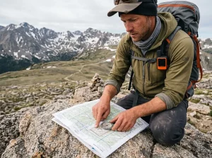
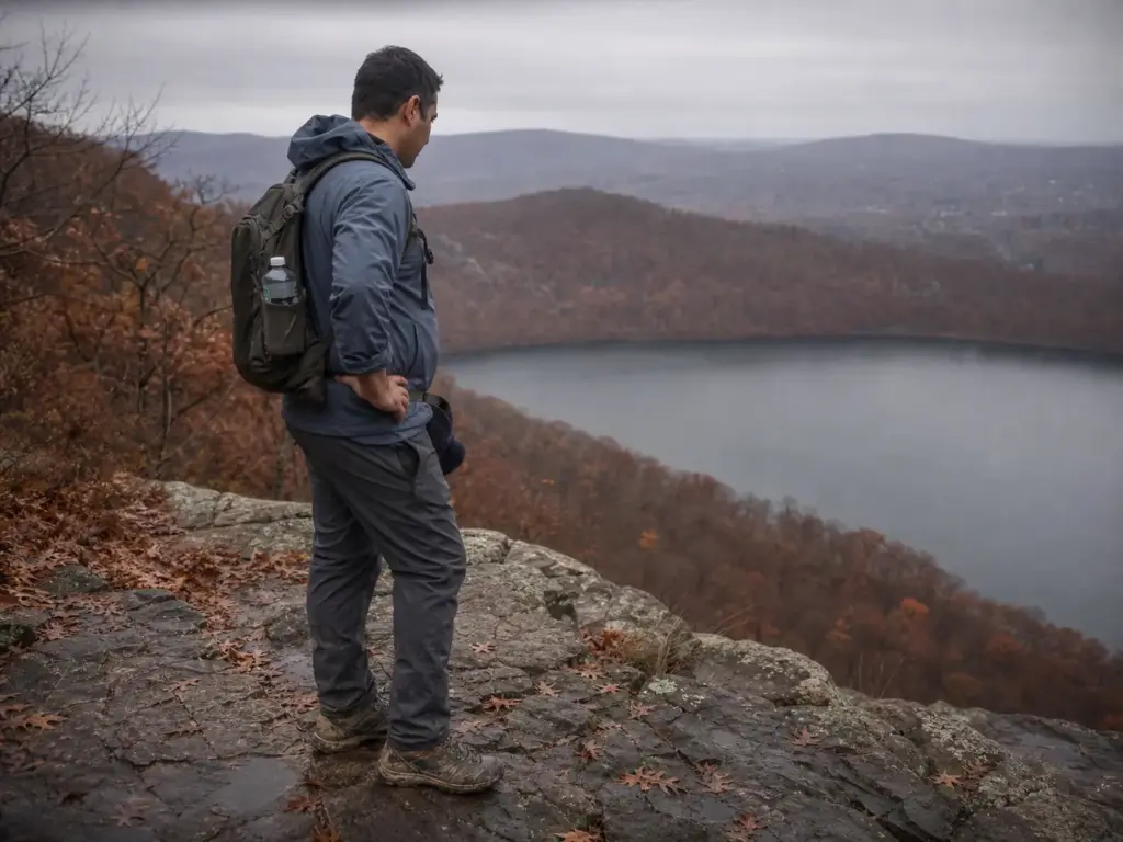
The ridge is what regulars call the cliff-edge stretch between the summit and the northwest descent, where the exposure and the panoramic views concentrate. It’s the park’s one genuine scenic overlook, and the reason most people come.
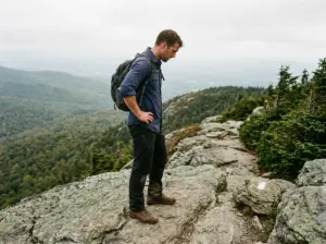
There are no railings on this exposed ridge. No fence, no cable, no painted line. The trail runs along the top of the cliff with loose gravel, exposed tree roots and angular rock across the walking surface, and in places the drop starts within a few feet of your boots.
For most people on a dry day that’s fine. For anyone uneasy with heights, or managing a kid who runs ahead, these unprotected cliff edges are what decide whether this park works for your group.
It’s also a good place to notice how a trail’s difficulty rating can undersell the terrain. Chauncey gets rated moderate, and by distance and gain that’s accurate. Ratings measure effort, not consequence, and on an unprotected ridge those are different things.
On the ridge, stop walking before you look at the view. Every close call on exposed traprock follows the same script: someone turns their head toward the water while their feet are still moving over loose rock. Plant, then look, then walk.
Lamentation Mountain — The Longer, Quieter Option
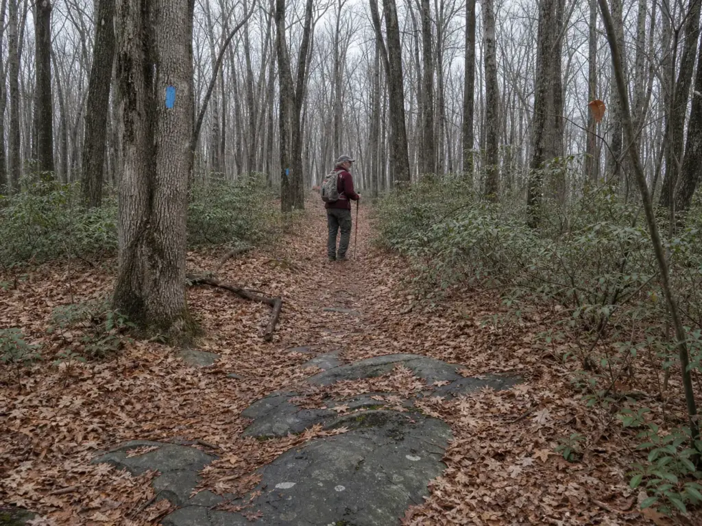
Same ridge, same rock, roughly double the walking, and a fraction of the people. Lamentation Mountain is the option for the day when an hour on the trail isn’t enough, or when the Chauncey lot situation has already told you what kind of crowd you’re dealing with.
The numbers run about 4.5 miles with 521 feet of gain and two to two and a half hours of moving time. The summit tops out at 720 feet, the higher of the two peaks.
The character of the effort is different, though. Chauncey concentrates its difficulty into a short steep section and a technical ridge; Lamentation spreads it out. You’re accumulating distance rather than fighting terrain, and the tiredness at the end is the ordinary kind from walking a while, not the specific fatigue of picking your way down broken rock. It’s also the better of the two for trail running, for the same reason.
The blue blazes out here belong to the Mattabesett Trail, which matters more than the park signage suggests. The Mattabesett runs 65 miles, and together with the Metacomet Trail it forms the Connecticut portion of the 220-mile New England National Scenic Trail, designated in 2009. The Mattabesett Trail’s official CFPA trail page covers the full corridor.
You’re on a nationally designated long-distance corridor that happens to pass through a municipal park. That’s also why the trail is maintained as well as it is: the volunteer culture around a national scenic trail is a different animal from what a city parks budget supports. It puts Giuffrida in the same regional company as destinations like Sam’s Point in the Shawangunks, where the trail network outgrew the park boundary a long time ago.
The trade for the extra distance is solitude, and it’s reliable. Most day visitors park, climb Chauncey, take their photos, and drive home. Push past that and the trail empties out.
On a busy fall Saturday you can pass twenty people on Chauncey’s ridge, then walk forty minutes on Lamentation without seeing anyone. If you hike for the quiet rather than the view, that’s the whole argument, and it applies to longer ridge walks in the region where distance is what thins the crowd.
There’s a third option most listing sites never mention: doing both. The combined Chauncey Peak and Lamentation Mountain loop runs 3.7 to 4 miles with 767 to 970 feet of total elevation change. That’s roughly double the climbing of Chauncey alone in not much more distance, because you drop off one peak and climb another. Budget closer to half a day, bring more water than you think, and expect the second climb to arrive when your legs already have opinions.
Doing the combined loop? Hike Chauncey first, Lamentation second. Chauncey’s ridge is where fresh legs and balance matter. Lamentation’s distance forgives tired legs in a way broken rock beside a cliff edge does not.
Crescent Lake Loop, The Flat Trail Nobody Writes About
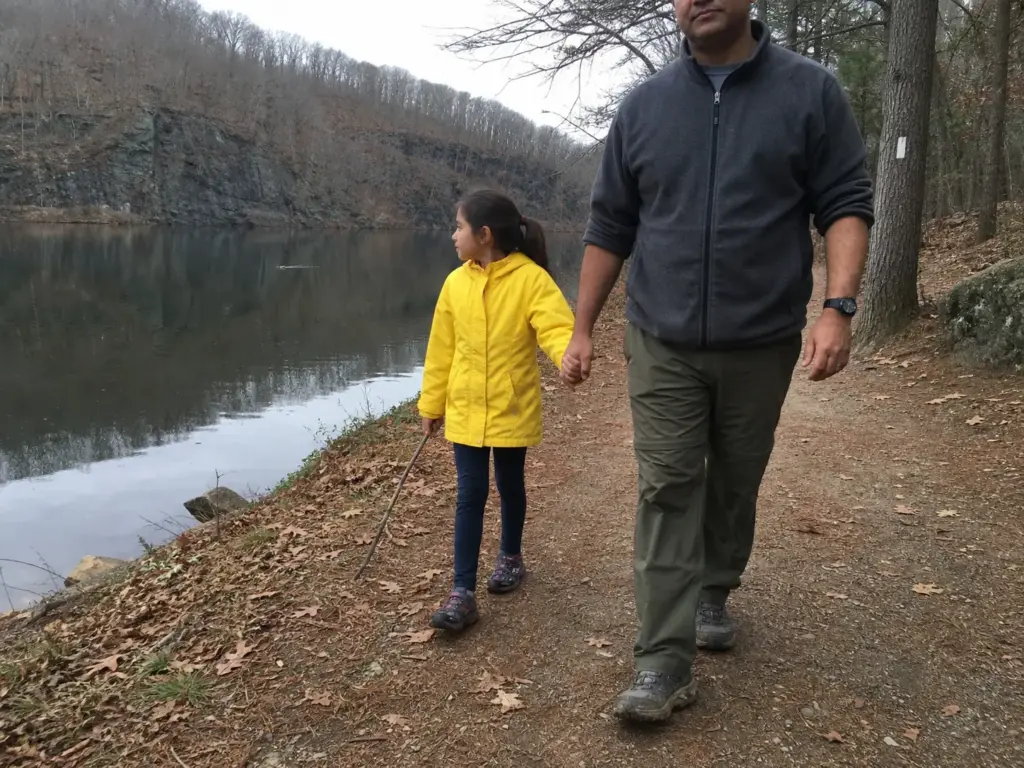
Not every visit needs a summit. The white-blazed loop trail around Crescent Lake stays at water level the whole way, has no technical terrain and essentially no elevation. It’s the easy trail to bring people on when the goal is being outside rather than earning a view.
That sounds like a consolation prize. It isn’t. This is the family friendly hike for a stroller, for a knee three weeks out of physical therapy, for a nine-year-old whose enthusiasm has a forty-minute lifespan, and for the friend who agreed to come hiking without being sure they like hiking.
Hand any of those people the Chauncey ridge as their introduction and you’ve made the decision for them, permanently, in the wrong direction. Start beginner hikers on flat ground next to water and you might get a second trip out of it. Plenty of people build the habit on flatter trails that still feel like a real hike before they ever touch a summit.
The reserve-water-supply rules work in your favor here. No motors, no rental concession, no swimming, which buys you a shoreline that stays undeveloped and quiet. The loop runs through woods along the water with the cliff face of Chauncey Peak rising across the surface, so you get the best view of the ridge from a trail that never climbs it. It’s the one part of the park that also suits biking and picnicking rather than just walking.
It’s also not necessarily a separate trip. The flat section along the reservoir is the return leg of the counter-clockwise Chauncey loop, so hike the peak the right direction and you finish on this trail anyway.
The reservoir edge is also the best part of the park for wildlife observation. Herons work the shallows, the water goes glassy early before the wind picks up, and because nobody can put a boat on it, the surface stays undisturbed in a way that’s uncommon this close to a city.
Which of the Three Trails Should You Actually Hike
Every listing site has the specs. What none of them give you is the part that actually decides it: how much time you have, who’s walking with you, and what the last 48 hours of weather did to the rock.
By time. Under 90 minutes, take Chauncey Peak counter-clockwise. It’s the highest ratio of payoff to time in the park. Half a day, take Lamentation or link the two into the combined loop. An hour with no agenda, take Crescent Lake and don’t feel bad about it.
By who’s with you. Kids without reliable trail judgment, dogs that pull, a first-timer, or anyone uncomfortable near edges: Crescent Lake or Lamentation, not Chauncey’s ridge. This isn’t about fitness. The climb up Chauncey is short and most people handle it fine. It’s the unprotected cliff section at the top, which is a different question. Exposure is its own filter, the same way it is on trails where exposure, not distance, is the real filter across the Northeast. Some strong hikers want nothing to do with it. Some out-of-shape ones don’t mind it at all.
By conditions. Wet rock, rain in the last day, or a fresh layer of fallen leaves pushes you off Chauncey’s ridge and onto the other two. It overrides the other two questions when it applies.
By what you want to see. The reservoir-and-quarry combination belongs to Chauncey alone. Lamentation trades that drama for quiet. The lake loop trades both for ease. All three are legitimate, just not interchangeable.
People who hike here repeatedly settle on Chauncey counter-clockwise as the default and keep the other two in reserve for specific days: bad conditions, extra time, unfamiliar company. That’s a reasonable framework to borrow.
If You Only Have One Morning
Chauncey Peak, counter-clockwise, arriving before 9am. Steep work first, ridge in the middle, flat walk home along the water. Back at the car in under two hours having seen the quarry, the reservoir, and the cliff line in one loop.
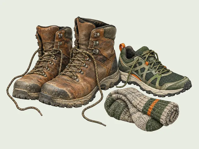
If Lamentation is your pick, the footwear question shifts. The terrain is less technical per mile but there’s more of it, and trail runners make sense on that trade. The Merrell Moab Speed 2 GTX (men’s · women’s) sits in that gap: same Moab platform as the boot, Vibram TC5+ outsole and Gore-Tex, in a trail-runner cut that doesn’t punish you over four and a half miles. On Chauncey’s broken rock, I’d still take the boot.
For the Crescent Lake Loop, wear whatever’s comfortable. Heavy boots there are just weight you carry for no reason.
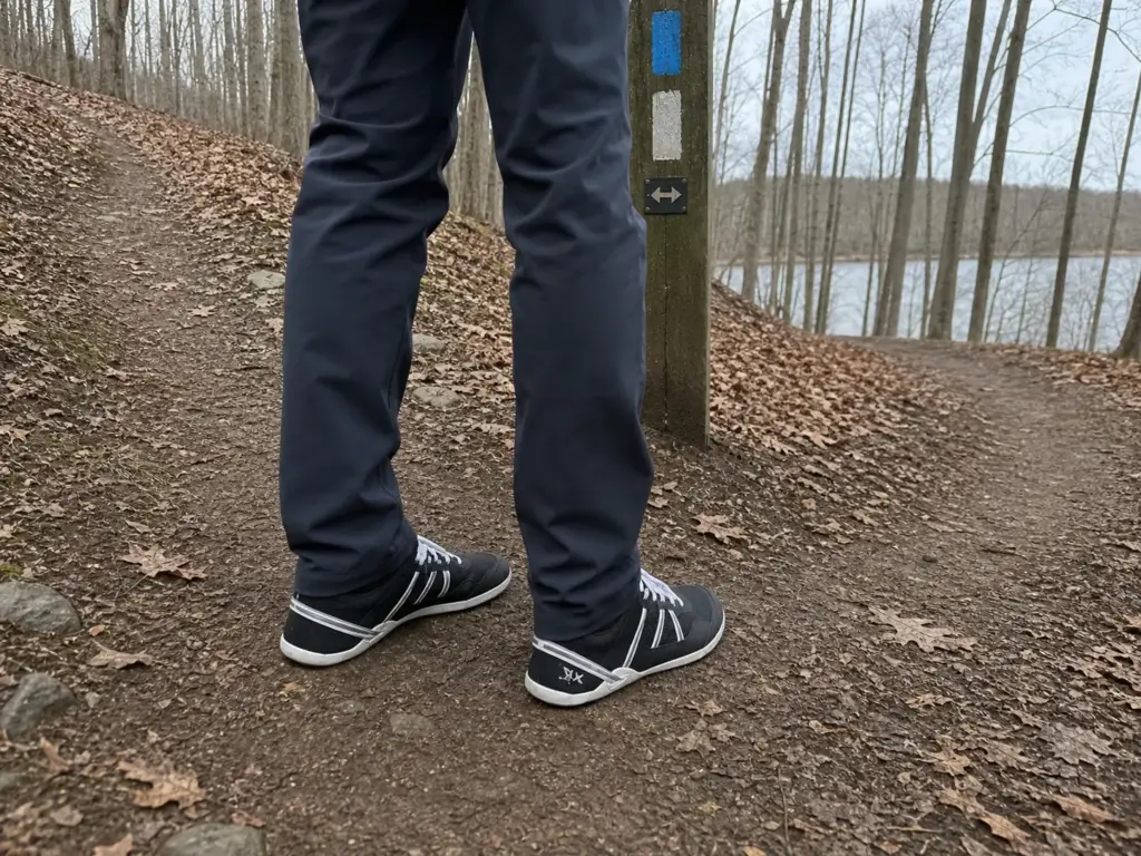
If you want something purpose-built for easy walking, the Xero Shoes Prio (men’s · women’s) is a light, flexible, zero-drop shoe that works well on non-technical ground. Zero-drop takes adaptation if you’ve spent years in cushioned shoes, and the lake loop is a reasonable place to do it. The ridge is not.
If the Rock Is Wet
Skip the ridge. That’s the rule.
Wet traprock is a different surface than dry traprock, and the difference is bigger than most people expect from rock that looks the same. Add wet leaves in October and you’ve stacked two slip hazards on a trail with no railing.
The difficulty rating doesn’t change with the weather. The consequence does. Check trail conditions before you commit: Lamentation’s wooded miles or the flat lake loop give you the same park at a fraction of the risk, and the ridge will still be there when the rock dries out.
Traprock, Loose Rock, and the Hazards Nobody Warns You About
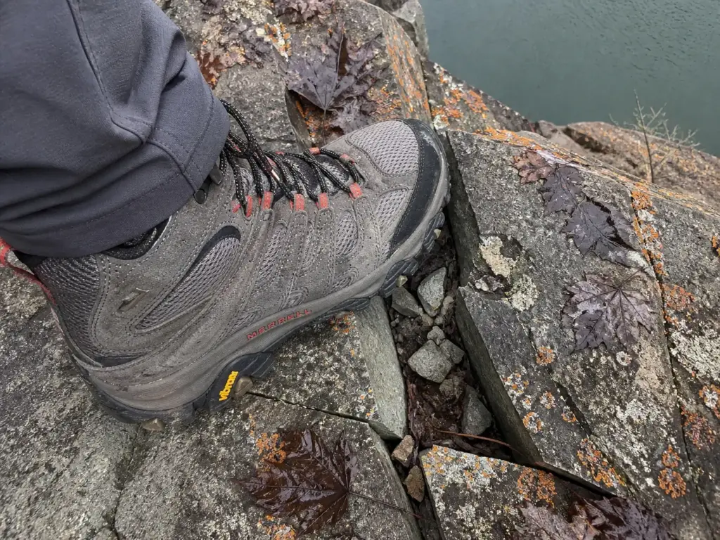
“Watch your footing” is useless advice. Everyone already intends to watch their footing. What helps is knowing the rock under your boots is fractured lava, because then you understand why your foot slid and you can adjust before it happens again.
Why the Footing Is Unpredictable
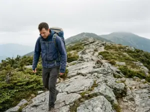
Chauncey Peak and Lamentation Mountain are traprock, which is basalt: volcanic rock left behind by lava flows during the Triassic-Jurassic rifting that pulled Pangaea apart. That origin matters underfoot. Basalt doesn’t weather the way sedimentary rock does. It fractures along columnar joints into loose, angular chunks with sharp edges and flat faces instead of rounding off into smooth, stable slabs, which is the defining trait of every trap rock ridge in the state.
The practical consequence: the walking surface is a scattered layer of hard, angular fragments sitting on bedrock, with very little soil to lock anything in place. Step on a piece that looks planted and it can rotate under your weight, because nothing is holding it. That’s not carelessness, that’s the rock doing what basalt does. The Metacomet Ridge’s traprock geology is the same across the whole formation, which is why hikers describe identical footing on every traprock summit in the state.
Knowing the mechanism changes how you walk. Plant your foot flat and centered rather than rolling through the step, favor larger pieces or exposed bedrock over the small stuff, and shorten your stride where the rock is loose. Your hiking pace on this ridge should be slower than the distance suggests, and that’s the trail asking, not your fitness.
This is where hiking boots with real ankle support earn their place, and the Merrell Moab 3 Mid (men’s · women’s) is the straightforward pick. The mid-height cut gives your ankle something to argue with when a rock rotates underfoot, and the Vibram TC5+ outsole is built for hard, irregular surfaces.
If you already own a stiff-soled boot you trust, wear that: the point is the sole and the ankle height, not the logo. Anyone who’s dealt with technical rock sections elsewhere in the Northeast will recognize the same equation.
Poles help more here than on most trails this size. The steep initial climb and the switchback descent on the northwest slope are where a pair earns its weight, taking load off your knees and giving you two extra points of contact when a rock shifts. The Cascade Trekking Poles are carbon fiber, adjustable, and light enough that you’ll actually bring them instead of leaving them in the trunk.
The 2017 Reroute and Outdated Maps
Here’s the detail that trips people up, absent from almost every write-up you’ll find.
In 2017, the first 0.2 miles of the Chauncey Peak ascent became a rerouted trail, rebuilt to make the initial climb more gradual. The original line went up steeply enough that older descriptions call for light scrambling right out of the parking lot. That route is gone, and the “steep scramble immediately from the lot” in older trip reports no longer matches the ground.
The catch is that those descriptions never came down, and at least one printed map, a local land trust brochure, was never updated either. So a reader arrives holding a description of terrain that doesn’t exist, sees an easier trail than expected, and starts second-guessing the route. Some go looking for the steep line and end up on an unofficial spur.
The rule applies well beyond this park: follow the blazes, not the write-up. Paint on trees gets maintained. Blog posts and brochures do not.
Wet Rock and Fall Leaves
Fall is the best season on this ridge, with a specific catch worth stating as a decision input rather than a warning.
Field reports converge on two things: the foliage views are the reason to come in October, and wet fallen leaves over rock sharply increase slip risk on the steep sections. A layer of wet leaves does two things at once. It hides the loose angular rock you’d otherwise see and step around, and it acts as a low-friction sheet between your sole and the surface. You lose your read on the terrain and your grip in the same moment.
So the fall calculus: go in October, go early, and if it rained overnight or the leaves are down and damp, take Lamentation or the lake loop instead of the ridge. You’ll still get the color, just from a trail where a slip costs you a muddy backside.
Test the rock before you commit to the ridge. Put a boot on an exposed slab of traprock near the trailhead and weight it. If it feels slick down there in the shade, it will be slicker up top. Two seconds of information, and the decision gets easier.
Snakes on the Ridge — What Connecticut’s Traprock Actually Means
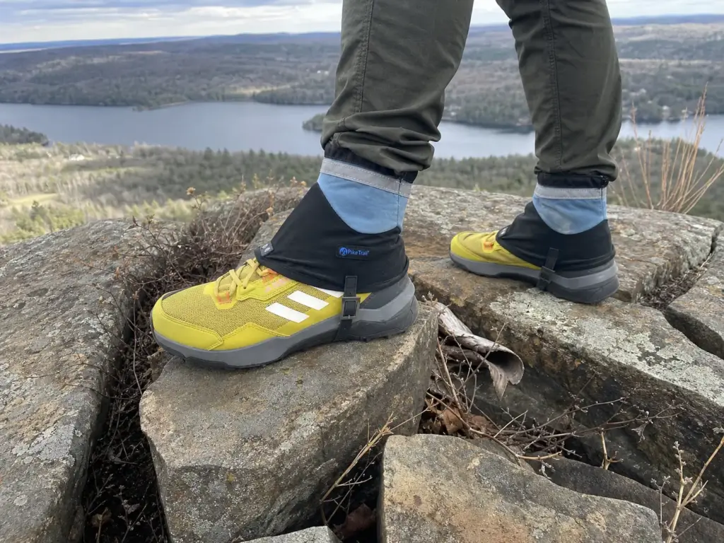
That sun-warmed ledge with loose rock scattered across it, sitting a couple hundred feet above open water, where everyone stops for the photo: that’s close to word-for-word how the state of Connecticut describes prime habitat for its venomous snakes. Not a coincidence, and not a reason to stay home. Just a reason to know what you’re walking through.
Connecticut has two venomous species. The timber rattlesnake is state-endangered and rare. The northern copperhead is more widespread. Both are here in the general sense, and the specific part is more interesting.
Copperheads reach their greatest abundance in Connecticut specifically on the Central Connecticut traprock ridges running through Hartford, Middlesex and New Haven counties. Read that with the geology section in mind: Giuffrida Park sits inside that exact rock type and that exact county band. This isn’t the generic “be aware of wildlife” line every park guide runs. The state’s own distribution data points at this ridge.
Timber rattlesnakes favor rugged terrain with steep ledges, rock slides, and water nearby. Describe Chauncey Peak’s cliff-edge sections above Crescent Lake and you’ve described the same terrain twice: steep ledges, loose broken rock, open water directly below, full sun on the rock face most of the day.
The part that matters is mercifully boring. Per the state’s official guidance on encountering a timber rattlesnake: stop, observe from a distance, back away slowly and calmly. Don’t approach it, don’t agitate it, and don’t try to move or harm it, which is against regulation under Connecticut’s Endangered Species Act.
The presence of a snake is not the problem. Sudden movement toward it is what provokes a defensive strike, and every account of a bad outcome involves a person closing distance rather than a snake seeking one out.
A few habits remove most of the residual risk. Watch where you put your hands when scrambling over ledges, because your hands go places your eyes haven’t checked. Step on rocks and logs rather than over them, so you see the far side before your foot lands. Keep the dog leashed: a curious dog closing on a coiled snake is the realistic bad scenario here, not a hiker walking into one.
Gaiters are cheap insurance on warm days when the ridge is sunning itself. The Pike Trail Ankle Gaiters are a low-cut, budget-friendly option covering the ankle and lower shin, which is also the zone that collects the grit and sharp rock fragments this terrain generates constantly. Be clear on what they are: ankle gaiters, not armored snake gaiters, and their honest job is debris and brush. The real protection is the distance you keep and the attention you pay, and that goes for seasonal wildlife awareness on Northeast trails generally.
Conclusion
Three things to take with you.
Chauncey Peak counter-clockwise is the default answer: veer right from the lot, get the steep rocky work done while your legs are fresh, take the ridge in the middle, walk home flat along the reservoir. Second, the rock is the real hazard, not the elevation. Fractured basalt breaks into loose angular pieces that rotate under a planted foot, and that mechanism explains every slip story from this park. Third, the park is free, opens at sunrise, and that dirt lot is full by mid-morning on any weekend worth hiking.
Pick the trail that fits the afternoon you actually have, not the one with the best photograph. The ridge isn’t going anywhere, and it reads completely differently in February than in October.
One last thing, because it explains why longtime Meriden residents say the name the way they do. Dr. Francis Giuffrida (1910–1966) was a Meriden surgeon and a Navy and Marine Corps veteran of the Second World War, discharged as a Captain with a Bronze Star. He practiced in the city from 1946 until cancer took him in 1966 at 56.
The city acquired this land in 1965 and named it for him the following year. Not a generic municipal dedication with a plaque nobody reads: a place named for a doctor the city had just lost, by the people who knew him.
Frequently Asked Questions
01What is the address of Giuffrida Park in Meriden, CT?
Giuffrida Park is at 800 Westfield Rd, Meriden, CT 06450, next to the Hunter Golf Club. The trailhead has a small unpaved lot with roughly 15 to 20 spaces. Entry is free, no permit is required, and the park is open sunrise to sunset year-round.
02What is the hardest hike in CT?
Connecticut hikers usually name Bear Mountain, the Ragged Mountain traverse, or a long Appalachian Trail section as the state’s hardest. Chauncey Peak is not in that group, but its exposed traprock ridge is steeper and more consequential than its moderate rating suggests.
03What is the most popular state park in Connecticut?
Sleeping Giant and Hammonasset Beach draw the biggest crowds among Connecticut state parks. Giuffrida is a city park rather than a state park, which is part of why it stays quieter than the state’s headline destinations even on good weekends.
04Are there rattlesnakes at Giuffrida Park?
Both of Connecticut’s venomous species, the timber rattlesnake and the northern copperhead, live on Central Connecticut traprock ridges like this one, though encounters are uncommon. If you see one, stop, keep your distance, and back away slowly.
05How big is Giuffrida Park, 98 acres or 598?
Both numbers are correct because they count different things. The 98 acres is the core city-owned parcel around the lot and Crescent Lake; roughly 598 acres is the connected recreational area including the Chauncey Peak and Lamentation Mountain trail systems.
I've spent more than a decade researching hiking gear and trail technique. I read the specs, the forum threads and the long-term reviews, and every pick here comes with what it gets wrong.
End of the trail
You read every mile of this one. Here's where the trail goes next.