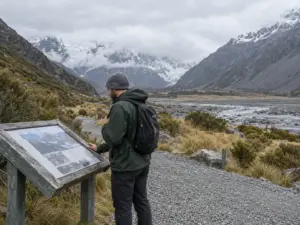
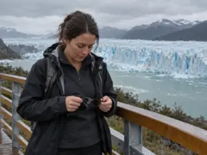

You have nine days in January, one rental car, and a wish for intermediate trails without the busiest spots, which is close to what a couple with “limited experience” asked r/Patagonia in 2023. The best hikes in Patagonia can fill that plan, but the labels attached to them do not agree: a blog files Laguna de los Tres under Medium, while the Chilean park sheet marks a 1.4 km stretch as “exigente” and the 5 km walk before it as “media”.
The ratings below come from that park sheet and the figures hikers report, run through one scale built on what each walk asks of your legs. You get the hikes worth the flight, what each one costs you, when to turn around, and how to reach the trailheads without a tour or a car. The table gives the short version.
| Hike | Base town | Distance and time | Our rating (1–5) | Who it suits |
|---|---|---|---|---|
| Laguna de los Tres | El Chaltén | 8–10 h round trip, about 20–25 km (12–16 mi) | 4 | Hikers with a full day and legs for a loose last kilometer |
| Laguna Torre | El Chaltén | Described as long but not steep; no sourced figures | 3 | Hikers who want length without a hard final climb |
| Base Torres (Las Torres day) | Torres del Paine | Three legs: 5 km, 3 km and 1.4 km, about 4.5 h by the park sheet’s times | 4 | Fit hikers who can handle a glacial moraine at the end |
| French Valley to Mirador Británico | Torres del Paine | 5.4 km (3.4 mi), 3 h, from Guardería Italiano | 4 | Hikers already in the park who want the valley side |
| Grey Glacier and Lago Grey | Torres del Paine | No sourced figures; labeled Medium | 3 | Hikers who accept that wind can end the day early |
Best Hikes in Patagonia Start Around El Chaltén
El Chaltén, inside Los Glaciares National Park, is the rare base town where the trailhead is the edge of town, which is why the Argentine side of Patagonia works as a string of day hikes instead of a single expedition. Two lakes anchor the list: Laguna de los Tres and Laguna Torre. One commenter in that 2023 thread framed it as a two- or three-day plan: each lake gets its own day, or you combine them.
Laguna de los Tres, a Full Day With a Hard Last Hour
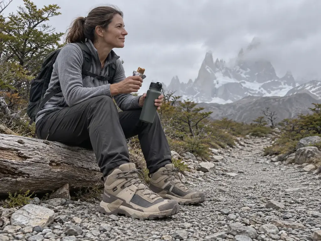
Laguna de los Tres is the walk to the Monte Fitz Roy view, and it is a whole day, not a half day. Nomadic Samuel’s trail guide puts the round trip at 8 to 10 hours and about 20 to 25 km (12 to 16 mi). The tour operator Explore-Share lists about nine hours, 12.4 mi, and 700 m (about 2,300 ft) of elevation gain, with loose rock in places.
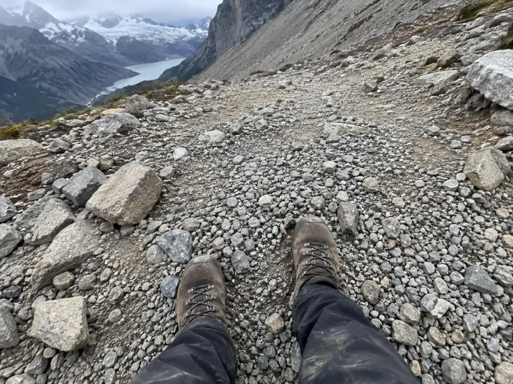
The number that matters is the last one. Nomadic Samuel calls the final kilometer “basically a gravelly stairmaster,” which tells you where the day is won or lost: the first hours are ground a regular hiker handles, and the end is a steep slope you climb with tired legs, before you still have the whole descent ahead. Explore-Share says the walk suits hikers with “alguna experiencia” and “buena forma física,” and that line is the same message the community gives in plainer words.
That gravelly finish rewards waterproof hiking boots with real grip (trail runners come up in the 2023 thread as an alternative, but loose gravel and wet ground make the case for a boot), and the Salomon X Ultra 5 Mid GTX (men’s · women’s) is a mid-height waterproof option that matches what the terrain asks for.
Laguna Torre, the Long and Gentler Option
Laguna Torre is the second El Chaltén lake, and the operator Wilderness Travel describes it as “long but not steep.” That phrase is the whole sourced profile: the sources behind this guide give no distance, time or elevation for it, so none appears here. The lake sits under Cerro Torre, and the trade is simple. You spend more hours on easier ground instead of fewer hours on a steep finish.
For a reader with limited experience, that trade is the point. A walk that is long but not steep asks for endurance, and endurance can be built; a steep loose finish asks for something you either have that morning or you do not.
Loma del Pliegue Tumbado on a Clear Day
Loma del Pliegue Tumbado is the third El Chaltén day walk the 2023 thread brought up, and the commenter’s advice was short: “wait for a good clear sky to do this one.” A viewpoint walk is only worth its effort when the peaks are out, so the real decision is which day to spend, not whether to go.
Hold the sky-dependent walk in reserve. Build a spare day into your El Chaltén plan, then spend it on the first morning the peaks come out of the cloud and give the grey days to rest and town.
Torres del Paine: Day Sections of the W Trek Worth Walking
You do not need the full W trek to see the towers. Torres del Paine National Park breaks into sections that work as a single walk, and the park agency’s trail sheet gives each one a length, a time and a label, which makes it the one official source for this half of the list.
The Base Torres Day, Three Legs and One Hard Mile
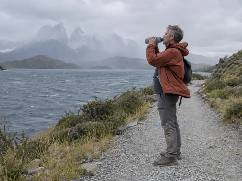
The Base Torres day is three legs, and Chile’s national forest agency, CONAF, publishes the length, time and difficulty rating for each trail in Torres del Paine. From Hotel Las Torres to Refugio Chileno it is 5 km (3.1 mi) in 2 hours, rated “media.” From Refugio Chileno to Guardería Torres it is 3 km (1.9 mi) in 90 minutes, also “media.” Then comes Guardería Torres to Mirador Base Torres (the Las Torres viewpoint, also called Mirador Las Torres): 1.4 km (0.9 mi) in 1 hour, rated “exigente,” across a glacial moraine with a joint-injury risk.
Read it as speed. The first leg runs at 2.5 km per hour by the sheet’s own times, the second at 2, and the last at 1.4. The shortest leg is the slowest one, and it is the only one the agency marks hardest. Add the three legs and you get 9.4 km (5.8 mi) and about 4.5 hours to the viewpoint, which means the hard part arrives after nearly all of the walking is done.
The sheet’s two-word labels, “media” and “exigente,” come with no stated criteria, so the numbers are the way to see what they mean. That gap is what the scale in the fifth section fills.
Read the official sheet leg by leg, never trail by trail. The label and the time sit on each stretch, and the short stretch near the end is where the agency puts its hardest word.
French Valley and Mirador Británico
The French Valley side has two legs on the same sheet. Paine Grande to Guardería Italiano is 7.5 km (4.7 mi) in 2.5 hours, rated “media.” Guardería Italiano to Mirador Británico is 5.4 km (3.4 mi) in 3 hours, rated “exigente.” You walk the easier leg first, and the harder one waits at the end.
Together that is 12.9 km (8.0 mi) and 5.5 hours one way by the sheet’s times. Whether that fits one day depends on where you sleep, because the sheet gives legs, not itineraries. Paine Grande has no vehicle access: you reach it on foot or by boat, and the catamaran across Lake Pehoe is the boat that trip reports describe.
Grey Glacier and Lago Grey When the Wind Decides
Grey Glacier and Lago Grey (Lake Grey in English) are the Torres del Paine option where weather, not fitness, sets the pace. Suitcase and I labels the Grey Glacier walk “Medium,” and no distance or time for it appears in the sources behind this guide. The operator Active Adventures reports turning back early because of wind, and describes days that start sunny at the trailhead and turn frigid with drizzle at the top.
That makes Grey a hike you rate by exposure, not by length. Plan it as a walk that may end early and still count as a good day.
Getting There and When to Go
A nine-day plan across two countries lives or dies on the boring parts: which town you sleep in, which month you land, and what has to be booked before you fly.
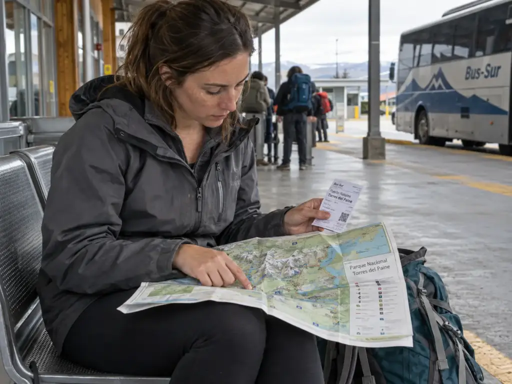
Four Gateway Towns and What Each One Is For
Four towns do the work. El Chaltén and El Calafate are on the Argentine side, and Puerto Natales and Punta Arenas are on the Chilean side. El Chaltén is the base for the two lakes in the first section. For a trip-length plan that sorts these towns and trails together, see our first-timer overview sorted by trip length, and keep this article for the hike-by-hike ratings.
El Calafate is the base for the Perito Moreno glacier, and it is a tour, not a trail, so it sits outside the list above. If you want the walk on the ice, the Perito Moreno glacier walk compared by cost per minute covers it in detail.
On the Chilean side, CONAF gives the road distances. It is 250 km of paved road from Punta Arenas to Puerto Natales, then 150 km by Ruta 9 Norte to the park. The alternative is the Y-290 “Lago Porteño” road, 80 km from Puerto Natales to the park.
The Season Window and the Shoulder Months
Active Adventures puts the season at November to March, warmest in December and January, and uses the phrase “four seasons in one day.” Explore-Share lists September to May as the best season for Laguna de los Tres, a wider window. CONAF treats May through September as winter in Torres del Paine, with sectors that change rules or close.
Put those together and the shoulder months are a judgment call, not a promise. September and May fall inside one window and outside the other, so check the park’s own page for your dates before you pay for anything that cannot be refunded.
What Needs Booking Before You Fly
The W trek and the O trek are multi-day backpacking routes, and they need refugio and camping reservations that are mandatory. Active Adventures says to start 3 to 5 months ahead. Park entry in Los Glaciares carries a fee; amounts in circulation are quoted in pesos with no date attached, so check the official page for the current figure before you budget.
The day sections in this guide are walks from a town or a lodge, not multi-night treks. Confirm on the park’s own page whether your date needs anything booked.
Book the beds before the flights. A refugio reservation is the one thing in Torres del Paine you cannot fix after you land, and an airfare can move.
How Fit You Need to Be, and When a Guide Makes Sense
The 2023 r/Patagonia thread said it bluntly: “almost all the best hikes involve very steep climbs.” The steep part is the norm here, not the exception.
A Fitness Check Before You Book
Explore-Share’s line for Laguna de los Tres, “alguna experiencia” and “buena forma física,” is the best plain-language standard any source gives. The Base Torres day is about 4.5 hours to the viewpoint by the park sheet’s times, and Laguna de los Tres is an 8 to 10 hour day. Neither is a stroll.
The honest test is whether a long day with a steep section leaves you functional. If you want a way to check, a simple three-step fitness test turns “buena forma” into something you can measure before you book.
Guide or No Guide, an Honest Take
Start with the bias. The pages that say never go without a guide, Active Adventures among them, sell guided tours, so that advice and the seller share a source. Our judgment, stated as a judgment and not a rule, is that day hikes in the Argentine and Chilean season are doable unguided for a prepared hiker.
Where a guide earns the money is winter and alerts. CONAF marks winter (May to September) sectors of the W as “solo con guía,” and other sectors read “cerrado.” A guide rule can also switch on for a few days: Las Torres Patagonia, a lodge operator, posted an alert in March 2026 requiring a certified guide on the Base Torres trail on 26 and 27 March, with winds up to 90 km/h (56 mph) and rockfall risk. That notice has expired, which is the point: check the day, not the guidebook.
The same question comes up in other places. The same guide-or-no-guide question on the Kumano Kodo has a different answer, because the trail and the risk are different.
How Far the Nearest Hospital Is
An injury on a Patagonia day hike is hours from care, and CONAF’s numbers show it. The nearest hospital is in Cerro Castillo, 54 km (34 mi) from the main gate. The Puerto Natales hospital is 80 to 140 km (50 to 87 mi) away. CONAF estimates an ambulance at about 1.5 hours from Villa Cerro Castillo and about 2 hours from Puerto Natales, and the park emergency radio is VHF 143.800 MHz.
The moraine on the Base Torres day, flagged for joint injuries, is exactly the kind of terrain where that distance matters.
A Difficulty Scale Built on What Each Hike Asks of You
The labels do not line up. Suitcase and I calls Laguna de los Tres “Medium.” CONAF rates the last 1.4 km to Base Torres “exigente” and a 5 km approach “media.” Neither label is wrong, but neither tells you what to train for.
Four Questions That Set the Rating
The scale runs from 1 to 5, and it is our own editorial rating, not an official one.
It comes from four plain questions.
How many hours are you on your feet? How much is the last hour climb? Is there loose rock or boulder scrambling? How exposed is the route to wind?
Each hike answers each question as low, medium or high.
A 1 is low on all four. A 3 is a long day or a hard last hour, but not both at their worst. A 4 stacks three high answers, usually including the last hour. A 5 would need all four at their worst on the same day, and no hike with a source in this guide sits there.
Why the Labels and the Hours Disagree
Labels average the day, and the hard part is concentrated at the end. A trail with a long easy approach and a steep final stretch averages out to “moderate,” and that is how Laguna de los Tres, with its loose last kilometer, ends up as “Medium.”
Time is the other source of disagreement. Suitcase and I gives a six-hour return for Laguna de los Tres, while Nomadic Samuel gives 8 to 10 hours and Explore-Share gives about nine. Those are not small differences, and they change what the word “moderate” means.
When two sources disagree on hours, plan for the longer number. A six-hour return and a nine-hour return describe different days, and the longer one is the safer assumption for a daylight window.
The Ratings for the Hikes in This Guide
Here is how the scale reads once it meets the sourced numbers. Hours on foot and the last-hour climb carry most of the weight, because they are the two questions every source answers at least in words. Loose rock and wind exposure move a hike up or down by one step.
The rating applies only to hikes with sourced facts. Laguna Azul, Lago del Desierto, Bariloche and Ushuaia have none in this research, so they get no number. Valle Ascencio is described by Wilderness Travel as “steep and challenging,” and that wording is all we use.
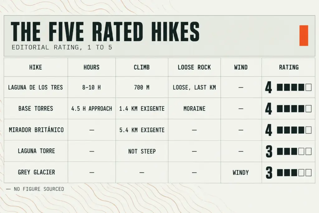
- Laguna de los Tres, 4. 8 to 10 hours, about 700 m of climbing, and a loose last kilometer.
- Base Torres, 4. A 1.4 km “exigente” moraine at the end of about 3.5 hours of “media” approach.
- French Valley to Mirador Británico, 4. 5.4 km, 3 hours, rated “exigente” by CONAF.
- Laguna Torre, 3. Described as “long but not steep,” so the effort is endurance, not a hard finish.
- Grey Glacier and Lago Grey, 3. Labeled “Medium,” and wind can end the day early.
When to Turn Around: Wind, Cloud and Closing Times
Patagonia’s changeable weather gives you a lesson on most days: the start looks fine, and the summit disagrees. A turnaround rule is worth deciding before you are standing in front of the last climb.
A Sunny Start Does Not Guarantee the Lake
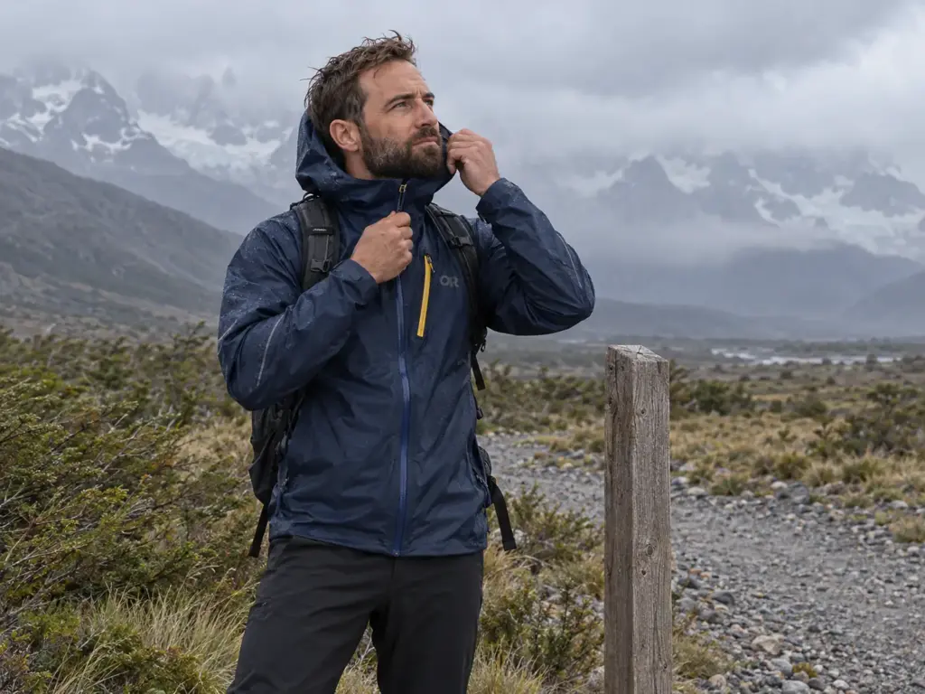
A personal travel blog called Walking Home describes a day that began sunny and easy, turned to rain, and ended with near-zero visibility at the top and wind strong enough to knock off glasses. The author “could barely take photos.” Sunny at the trailhead tells you nothing about the lake.
If the peaks are inside cloud when you reach the last hour, the view you are climbing for is not coming, and a wind that moves your glasses is a reason to stop. For help reading the sky without an app, reading weather signs without an app covers the signals that matter.
A shell is the one piece of gear this section earns, and the Outdoor Research Helium Rain Jacket (men’s · women’s) is a packable waterproof shell that fits in a daypack and suits the rain and wind these accounts describe.
Closing Times and Ranger Turnbacks
The travel blog angelaliggs.com describes rangers turning the author back because the lake’s closing time had passed. CONAF asks hikers to respect trail closing times (“respeta los horarios de cierre de senderos”) and to check the forecast constantly.
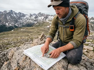
The rule that follows is simple: decide the turnaround time before the last climb, not at it. At the foot of a steep stretch you are tired and the view has an argument for going on. Leave time for the walk down, and for the same reason when to turn back on exposed rock is worth reading before you go.
Count backward from the closing time, not forward from the trailhead. Subtract the walk down first, and whatever time is left is when you must be turning, wherever you happen to be on the climb.
Winter Rules and One-Day Alerts
In winter, May to September on the CONAF sheet, the rules change. Guardería Italiano to Refugio Los Cuernos sectors of the W are “solo con guía,” and the Serón to Dickson, Dickson to Los Perros, Los Perros to Paso and Paso to Grey sectors read “cerrado.” CONAF says to check the forecast constantly on every sector.
Then there are one-day alerts, like the March 2026 notice that put a certified guide rule on Base Torres for two days of high wind. The practical habit is to open the park’s own page on the morning of the hike, not the night before.
Doing Patagonia Without a Tour or a Rental Car (and Quieter Swaps)
The 2023 Reddit poster asked for a rental car and less touristy options. The reader without a car asks the opposite question, and it deserves a straight answer.
Reaching the Trailheads Without a Car
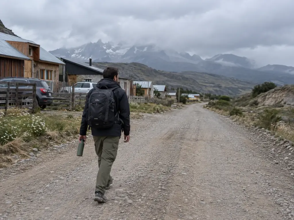
In El Chaltén the trailhead is the edge of town, so the Argentine day hikes need no car. Torres del Paine is the harder case. CONAF’s road distances (250 km paved from Punta Arenas to Puerto Natales, then 150 km by Ruta 9 Norte, or 80 km on the Y-290 road from Puerto Natales) describe a long transfer, and the refugios at Paine Grande, Grey, Los Perros and Dickson have no vehicle access at all. You reach them on foot or by boat.
Here is the limit of this research: no bus timetable and no no-tour cost was found, so check current operators before you build the plan around one. The same car-free logic runs in other places, and sorted by time and car access shows how it plays out in New Zealand.
Quieter Swaps Around El Chaltén
Several names come up as alternatives, and each is “named by,” not rated. Wilderness Travel names Laguna Azul (at Estancia Helsingfors) and Valle Ascencio. Active Adventures and a 2023 Reddit commenter both name Lago del Desierto with the Huemul Glacier, which the commenter says you reach by car as a day trip from El Chaltén.
None of the sources measure crowds, so “quieter” here means named as an alternative, not counted. One more claim, flagged as unverified: a 2023 commenter said there are free campsite spots in El Chaltén. Treat that as a lead to check, not a fact.
Hikes Farther South and North Worth the Detour
Two more names come from the same 2023 commenter. To the north, Refugio Otto Meiling near Bariloche. To the south, Cañadón de la Oveja and Laguna del Caminante near Ushuaia. No distances, times or ratings appear in the research, so none appear here.
If the day-hike list leaves you wanting more of Torres del Paine, the full O Circuit if you want the long version of Torres del Paine is the multi-day trek.
Write Your Turnaround Time on the Map Before You Leave Town
Three things carry this guide:
- Rate a hike by its last hour, not by the label that averages the whole day.
- Decide the turnaround time before the last climb, and subtract the walk down from it.
- Day hikes are doable without a tour in season, and the guide decision belongs to winter and one-day alerts.
Before you leave town, write your turnaround time on the trail map. On the morning of the hike, open the park’s own page and check for closures, because the sheet on paper may already be out of date.
Frequently Asked Questions
01What is the most iconic hike in Patagonia?
Laguna de los Tres near El Chaltén and the Base Torres day in Torres del Paine are the two walks that fit best, and both end on a hard stretch. Laguna de los Tres takes 8 to 10 hours round trip; Base Torres is a long approach with a hard final 1.4 km.
02Where are the best hikes in Patagonia?
The best hikes in Patagonia cluster around El Chaltén in Argentina and Torres del Paine in Chile. El Chaltén is the base for Laguna de los Tres and Laguna Torre. Puerto Natales and Punta Arenas are the Chilean gateways, 250 km apart by paved road.
03What are the best hikes in Patagonia for beginners?
No hike in this guide rates below 3 on our scale, so none is truly easy. Laguna Torre, described as long but not steep, is the gentlest sourced option. Leave Laguna de los Tres and Base Torres, both rated 4, until you know a long day suits you.
04What is the most beautiful trek in Patagonia?
No single trek wins, because taste decides; the sources point to the Fitz Roy view from Laguna de los Tres and the towers at Base Torres. Both rate 4 on our scale, so choose by effort and by which base town fits your plan.
05What should you not miss in Patagonia?
The Perito Moreno glacier is the one non-hike worth planning, and it is a glacier walk by tour, not a trail. For the hike, Laguna de los Tres is the pick from El Chaltén.
I've spent more than a decade researching hiking gear and trail technique. I read the specs, the forum threads and the long-term reviews, and every pick here comes with what it gets wrong.
End of the trail
You read every mile of this one. Here's where the trail goes next.