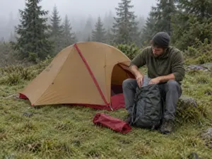
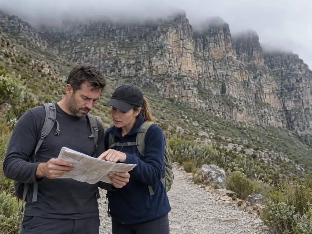
You’re standing on Tafelberg Road in Cape Town, staring up at a wall of sandstone, with four route descriptions open on your phone. One calls the same trail the easiest way up, another rates it three out of five, and somebody in your group is already asking whether this fits into a morning. The Table Mountain hiking trails are easy to list and hard to choose between, because the right one depends on who is walking, what the cloud does and how you plan to get down.
This guide checks the park’s own safety rules and SANBI’s route notes against three route write-ups, says where the numbers disagree, and ends with a pick for your group and a way down that doesn’t depend on the cableway. The table below gives the figures as each named source reports them, and the “what makes it hard” column is our own editorial read.
| Trail | Distance and climb (as sources give it) | What makes it hard | Best for |
|---|---|---|---|
| Platteklip Gorge | About 2.5 km to the upper cable station; 650 to 680 m of climb in one continuous ascent | Sustained effort and sun, not technique | First-timers and mixed-fitness groups |
| India Venster | 1.6 mi (about 2.5 km); 2198 ft (about 670 m) of climb | Scrambling, chains and exposure | Experienced scramblers, never alone |
| Skeleton Gorge | 5.5 hours round trip from Kirstenbosch | Length, ladders and slippery rock | A long green day with no deadline |
Table Mountain Hiking Trails Worth Knowing Before You Pick One
Three routes carry most of the weight on the front and eastern side of the mountain. They climb a similar height, and they could not feel more different underfoot. Here is what each one is, where it starts, and which numbers you can trust.
Platteklip Gorge: The Direct Line Up
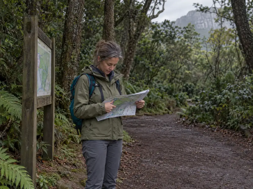
Platteklip Gorge is the straight line up the front of the mountain, between pale rock walls and low fynbos, and the route most people mean when they say they are going to hike Table Mountain. Stingy Nomads counts 650 m of climb and Hike Table Mountain counts 680 m, both in one continuous ascent with no flat stretch to recover on. Stingy puts the distance at about 2.5 km to the upper cable station, which makes roughly 5 km out and back. Stingy Nomads also says you do not need a GPS watch or any other navigation on this one.
It does not start at the cableway car park. Atlas & Boots places the Platteklip Gorge parking about 2 km from the lower cable station, and Stingy puts the start on Tafelberg Road, so give your driver the trailhead by name.
Now the part that catches people out: the sources do not agree on time, and they do not all say whether they mean one way or both.
Hike Table Mountain gives 2.5 to 3 hours one way. Atlas & Boots says about 2 hours one way. Stingy says 2 to 3 hours round trip, split into 1 to 1.5 hours up and 30 to 45 minutes down.
One reader on a hiking blog left around 12:30 expecting two hours up and two down, and took 5.5 hours to reach the top. Budget by your slowest person, not by the most optimistic number above.
India Venster: The Route With Chains
India Venster climbs the same face with a very different personality. The Outbound lists it at 1.6 miles (about 2.5 km) and 2198 feet (about 670 m) of climb, which is nearly the same elevation gain as Platteklip packed into half the distance. Its description mentions lots of scrambling plus handles and chains (the ladders and chains are what make it technical), tells inexperienced hikers to stay off it, and says not to hike it alone. The chains are real, but this is a climb with fixed aids, not a walk with a handrail.
Skeleton Gorge: The Long Way From Kirstenbosch
Skeleton Gorge starts inside Kirstenbosch Botanical Garden and climbs through a forested ravine. SANBI’s route notes for Skeleton Gorge give 5.5 hours round trip, very steep going with ladders in places, and scrambling over rocks and boulders. At the top there are three ways to go: back the way you came, left toward Nursery Ravine, or right toward Maclear’s Beacon at 1085.9 m. Decide which one is your descent before you leave the garden, and carry a park map, which SANBI recommends.
Other routes exist, including Kasteelspoort, the Diagonal trail and the Pipe Track. This guide leaves them out because there are no figures here it can stand behind.
What “Hard” Really Means on Each Route
Honest trail difficulty is hard to find. An honest difficulty rating starts when “easy” and “hard” stop contradicting each other, which happens once you split the word into three separate things: sustained effort, technical difficulty and exposure. Every route on this mountain scores differently on each, and the person who goes up in sandals because someone called it the easy one is the person who regrets it halfway.
Platteklip: A Staircase, Not a Scramble
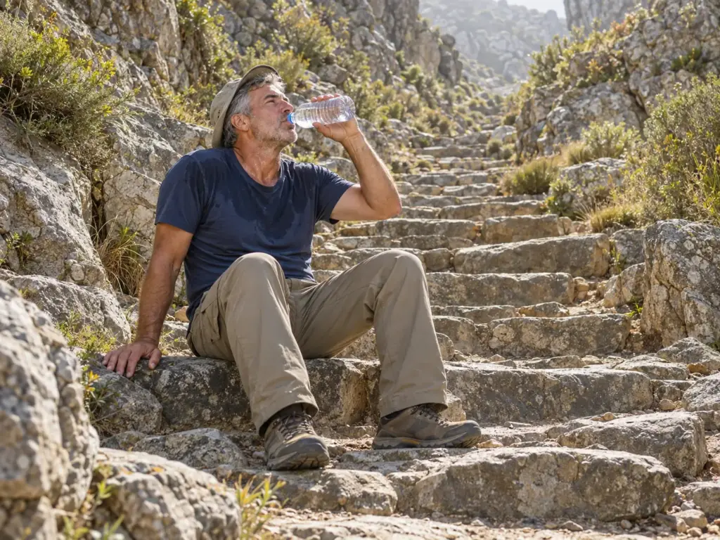
Hike Table Mountain grades Platteklip “Grade A” and calls it the easiest Table Mountain ascent, with no scrambling or exposure. Stingy Nomads rates the same route 3 out of 5 and describes a tough ascent of about 700 meters up rocky stairs, where the stone steps are so high that you end up jumping or climbing down them. Both are right, because they measure different things.
The first number is technique: Platteklip asks nothing of your hands and nothing of your head for heights. The second is effort: it asks everything of your legs, lungs and water supply for as long as the climb lasts, and the first half runs in full sun.
Treat it as a staircase, never a scramble, and then respect how long a staircase can be. One reader on a hiking blog says the steps are so tall that at times they were climbing on all fours, what they called “monkey mode”. An effort score is not a technique score, and why a trail rated moderate can still wreck you comes down to exactly that mismatch. You can find the same pattern at another destination where easy labels hide a steep climb.
India Venster: Hands, Chains and Exposure
India Venster is hard in the other direction. The legs are not the problem for a fit hiker over this much distance; the hands and the head are. You are scrambling, pulling on chains and handles, and standing on a face where a slip has a long way to fall. That is why the route description tells inexperienced hikers to stay off it and warns against going alone, and why I would not let a chain on the wall talk anyone into it.
Exposure also changes the decision about turning back. On a staircase you can rest and continue. On steep rock, the question that matters is whether you could come back down the same section with tired arms, and SANParks reminds hikers that climbing down is more difficult than climbing up. If you are unsure how that decision works in practice, read when to turn around on exposed rock before you are standing on the rock.
Skeleton Gorge: The Day-Long Wet Route
Skeleton Gorge is hard for yet another reason: hours and water. SANBI’s notes describe ladders and boulder scrambles, and they say the route is slippery in winter and hazardous after heavy rain. None of that is technical in the way India Venster is. It is a long day on wet stone and wet steps, and it punishes a late start, a thin water supply and a group that never agreed on the way down.
Score every person in your group on three separate lines before you pick a route: legs, nerve for heights, and hours available. The right route is the one where nobody’s weakest line is the line it tests hardest. Asking who is the fittest tells you almost nothing.
Matching a Trail to Your Group
The question that decides your route is not who is the fittest. It is who is the slowest, because that person sets the pace for everybody, and the mountain does not care how quick the rest of you are. SANParks says the same thing in its group hiking rules, which ask every group to choose a leader and walk at the pace of the slowest member.
First Timers and Mixed Fitness Groups
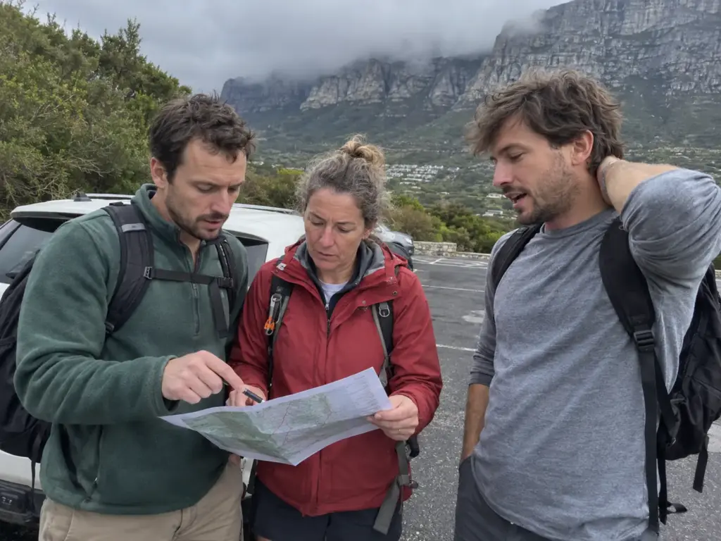
Put a mixed group on Platteklip. It needs no technique, the path is obvious, and the cableway gives you an exit for the descent if somebody runs out of legs. What it does not forgive is rushing: the climb is continuous, so a group that starts fast pays for it by the top. SANParks calls four the ideal group size, so a party of four with one clear leader is the model, and how to lead a group without being the pushy one covers the part nobody enjoys, which is slowing down the keen walkers without a fight.
One caution on knees and hips. There is no solid data here on how the route treats people with sore joints, but Stingy Nomads calls the descent quite tough on the knees, so if anyone in your group has delicate knees or hips, Platteklip is not the place to save effort. Bringing a dog is a separate question, and the rules differ by section of the park, so check the park’s page first and read what the rules really say about dogs on trail before you load the car.
Hikers Who Have Scrambled Before
If you and your partner already scramble, India Venster is the one that rewards it, but only as a pair or a small group. The Outbound’s guidance is blunt about not going alone, and I would hold to that even if you are comfortable on rock: a chain does not help you if you are the only person who can call for help. Skeleton Gorge is the pick for people who like a long, green day and would rather be wet and tired than exposed. It takes 5.5 hours round trip, and that number only holds if nobody is dawdling over a map at the top.
My own call: I’d put a mixed group on Platteklip, a pair of experienced scramblers on India Venster, and I’d keep Skeleton Gorge for a day with no deadline.
Going Solo, or With a Guide
SANParks says not to hike alone, and Stingy Nomads and Atlas & Boots both suggest joining a tour or finding a walking partner if you are solo. That advice is sound for a mountain where a fall, a wrong turn at the top of a gorge or a sudden drop in visibility can strand you with nobody who knows your plan. A guided walk costs money and removes some freedom, but it also removes the hardest decisions on the day. Weighing a guided trip against going independent is a trade-off that shows up on every big mountain, and it is worth thinking about honestly here too.
Safety Minimums Before You Leave the Car Park
The things that matter most on this mountain are boring ones: water, a layer, a plan someone else knows. The summit is also far windier than the car park, so what you pack at the bottom should be built for the top.
What SANParks Asks of Every Group
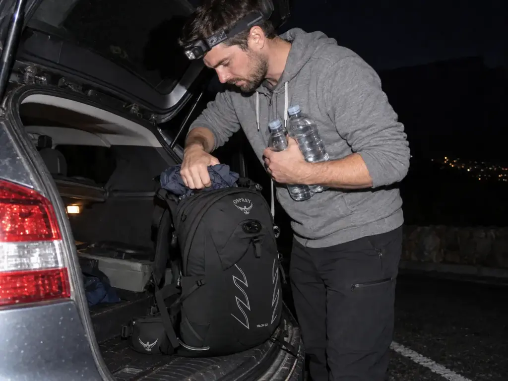
SANParks’ own safe-hiking rules are short and worth reading in full. Hike in a group, with four as the ideal number. Choose a leader and walk at the pace of the slowest member. Tell someone your route and the time you expect to be back.
If you get lost, do not split up, and remember that climbing down is more difficult than climbing up.
The part about telling someone is only useful if the plan is specific, and how to leave a trip plan someone will actually use shows what a usable one looks like.
Water, Layers and What Carries Them
Plan to start with daylight to spare and a headlamp in the pack. Atlas & Boots recommends at least 1.5 liters of water per person, and Stingy Nomads is clear that there are no water sources on the trail. A single rigid 32 oz bottle holds about 0.95 liters, so it will not get you there alone. The Nalgene Tritan Wide Mouth 32 oz (check it on Amazon) is the bottle most hikers picture when they think of a hard-wearing one, and you can pair two of them, or one bottle with a small reservoir, to reach the number.
The wind on top is much stronger than at the bottom even on a sunny day, so a light layer rides in the pack. A 22-liter daypack with a hip belt takes the water and a layer without trouble, and the belt moves some of the weight off your shoulders during a long climb. The Osprey Talon 22 (men’s) and the Osprey Tempest 22 (women’s) are the same pack cut for different frames, and either is the right size for this day.
Numbers to Save in Your Phone
Save these before you leave signal behind, because you will not want to search for them mid-climb:
- Table Mountain National Park emergency number: 086 110 6417
- South African Police Service: 10111
- Cableway operator: +27 (0)21 424 0015
Getting There, Starting Points and Costs
The cheapest mistake to avoid is the one made in the first ten minutes: asking a driver for “Table Mountain” and being dropped at the cableway car park, about 2 km from where Platteklip actually starts.
Where Platteklip Actually Starts
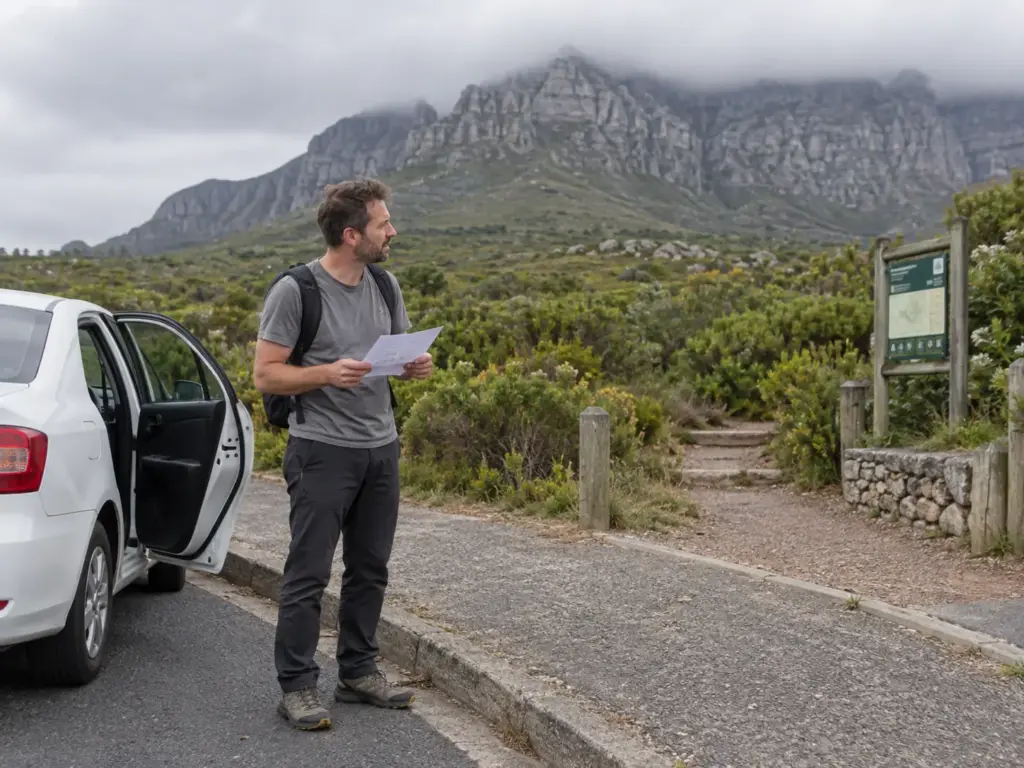
Ask for the Platteklip Gorge parking or the Tafelberg Road start by name, not for the mountain or the cable car. Atlas & Boots and Stingy Nomads agree on the underlying problem, even if they describe the start slightly differently, and a driver who hears “Platteklip” will take you to the right place. If you are planning the logistics without a car, the same habit applies on any city trailhead, and getting to the trailhead without a car shows how to work out the options before you leave the hotel.
Kirstenbosch and the Skeleton Gorge Entry
Skeleton Gorge starts inside Kirstenbosch Botanical Garden, so you enter through the garden gate. There is an entry fee, and fees change, so check the current rate before you go instead of trusting a number in an article. Put the opening hours on your list of things to check too, because a gate that is still closed when you arrive turns a planned start into a delay.
Tickets, Fees and What to Check Before You Go
If the cableway is part of your plan, Atlas & Boots advises buying tickets online in advance so you can skip the ticket queue. Check the current fee for tickets and for Kirstenbosch rather than relying on a number you saw in passing. If you are building this walk into a longer international trip, how a big international trek is booked and budgeted is a useful model for what to reserve early and what to leave flexible.
The Best Time of Year and Time of Day
When you start matters more than which month you pick. A start that looks sensible at the hotel can leave you on a sun-facing slope at the worst hour.
Summer: Start Early or Walk in the Sun
In December through February, Stingy Nomads recommends starting early to be finished before the heat, and the first half of Platteklip runs in the sun. That is the reason the reader who left at 12:30 had such a bad day: full sun on the first half, no flat sections, and a climb that took 5.5 hours instead of the two they had planned for. Leave enough daylight for the way down too. I’d start Platteklip early in summer, full stop.
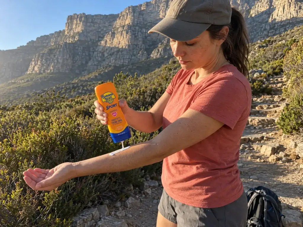
Sun protection is part of that plan rather than an afterthought. A sunscreen such as Banana Boat Sport SPF 50 (check it on Amazon) is the kind of thing you apply at the trailhead and again at the first rest, because the exposed stretch comes early.
Count backward from the last cable car down, not forward from your start. Check that time on the operator’s page the same day, subtract the time your slowest person needs for the climb and the descent, and that is your latest sensible departure.
Winter: Rain, Cloud and Slippery Rock
In winter the trail itself changes. Stingy Nomads notes that rain makes the path slippery, and SANBI describes Skeleton Gorge as slippery in winter and hazardous after heavy rain. Wet sandstone steps are slower going than dry ones, so everything in the table at the top of this guide takes longer. Pack a rain jacket, expect cloud on top, and be willing to change the plan to a shorter day.
Cloud and Wind: The Weather That Changes the Plan
The forecast for the city and the weather on the summit are two separate things, and the summit decides whether you have a weather window at all. Someone who looked at a clear sky at breakfast has no idea what the top will look like by early afternoon.
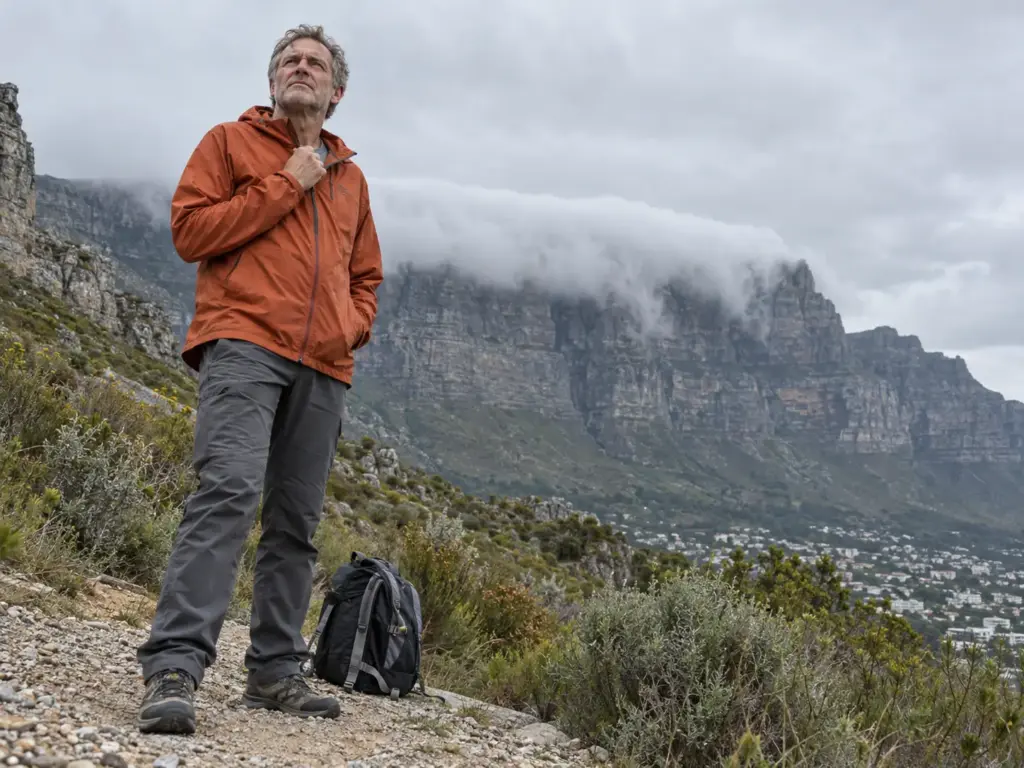
The Tablecloth and Why It Closes the Cableway
The “tablecloth” is the cloud that spreads over the flat top of the mountain, and cloud cover like that can arrive faster than the forecast changes. Atlas & Boots says the cableway may shut partway through the day because of high winds, bad weather or thick cloud, and The Outbound warns that it may close at any time due to strong winds. A wind closure is the usual reason. Treat the cableway as a bonus, never as the plan, and look at the operator’s live status the same day you walk instead of trusting what you read a week before.
Reading the Mountain Before You Commit
Look at the summit from your starting point before you commit. If the top is already wrapped in cloud, expect wind and low visibility up there regardless of what is happening at the bottom, and pack the extra layer accordingly. How to read weather signs on the trail goes through the signals that tell you a change is coming, which is more reliable than any single forecast on a mountain that makes its own weather.
If the Cableway Is Closed: Plan Your Walk Down First
The operator’s advice is to be prepared to hike down, which is a warning and not a plan. The plan is what you fix in the car park, before the first step, and it has to hold up if the cableway stops running while you are on top.
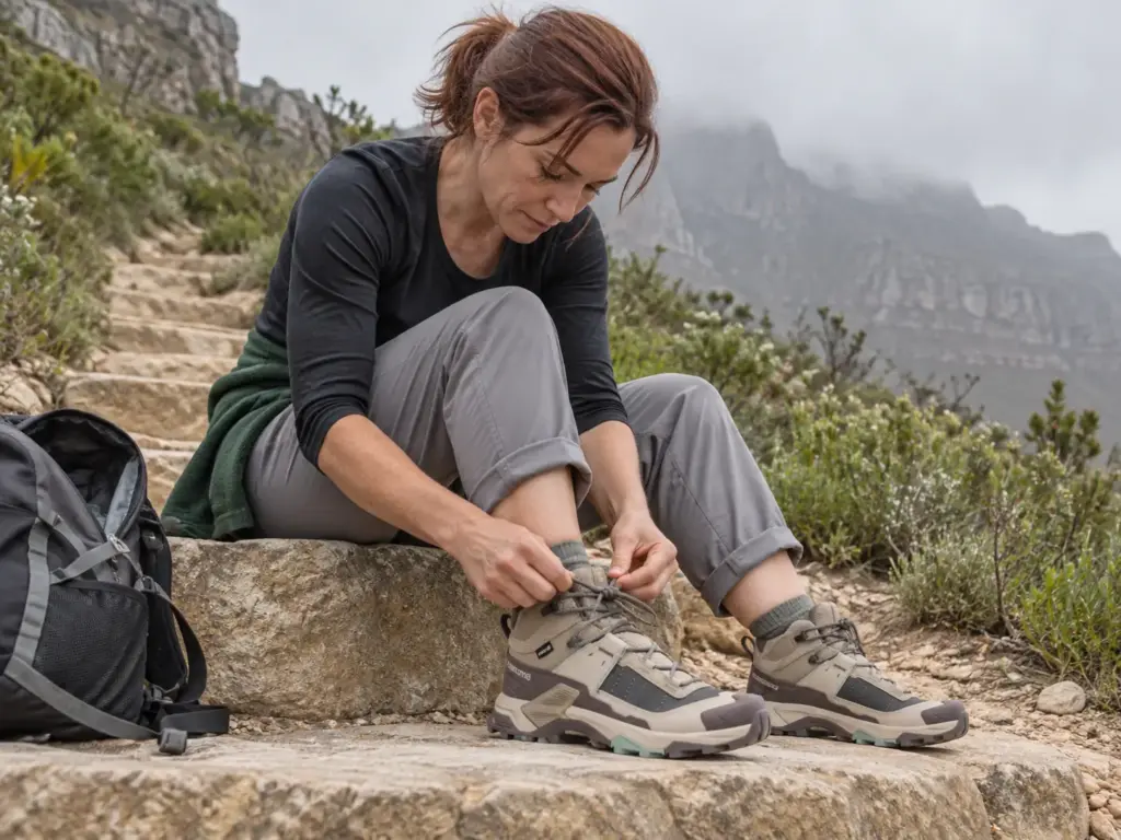
Choose the Way Down Before You Choose the Way Up
The Outbound says always allow enough time to walk down, and that sentence is the whole principle. Pick your descent first: down Platteklip, back the way you climbed, or one of the three exits at the top of Skeleton Gorge. Then work back from there to decide whether your route and your start time make sense. If the descent only works when the cableway is running, you do not have a descent.
Atlas & Boots tells the story of a solo traveler who had only a few minutes on the summit before the cableway announced a closure for wind, and she ran for the last cable car. Nobody enjoys a summit that way, and a plan made in the car park removes the race entirely.
The Descent Costs More Than You Budgeted
Going down Platteklip takes 30 to 45 minutes according to Stingy Nomads, who also calls it quite tough on the knees. SANParks agrees that climbing down is more difficult than climbing up. After a long, continuous ascent, your legs are not the legs you started with, and the high stone steps that were awkward on the way up become a hazard on the way down. The queue for the cableway can also run an hour or more in busy season, according to Atlas & Boots, which means “just take the cable car down” can cost you as much time as walking.
A boot with ankle support helps on the way down, and it also helps on any section with chains. The Salomon X Ultra 5 Mid GTX (men’s · women’s) is a mid-cut waterproof boot with a grippy sole, which suits wet stone steps and a long descent. Hikers who prefer trail running shoes or low hiking shoes can skip it; the point is to protect your ankles when your legs are tired.
Before you leave the car park, say the descent out loud: which route, how long for your slowest person, and what you will do if the cableway is shut. If the group cannot answer in one breath, the plan is not finished.
When to Stop Planning and Turn Around
Fix a turnaround time before you start, and keep to it even if the summit is close. A summit reached too late is a worse outcome than a turnaround on time, because everything after it, the descent, the tired legs, the closing cableway, happens in worse conditions than the climb. How to set a turnaround time before you leave the car park lays out the protocol, and it transfers directly to this mountain.
The last check is the one most people skip: open the cableway operator’s page the same day, note whether it is running, and write down the time you will turn around. Today’s status is not something an article can tell you.
Pick by the Slowest Pace, Then Check the Cableway
Three things decide this walk, and none of them is how fit the fittest person in your group is. Choose the route by the pace of the slowest member, because that is the pace the whole group walks. Settle the way down before you settle the way up, because the descent is harder than the climb and the cableway is a bonus that can disappear. And trust the weather on the summit over the forecast at the bottom, because the cloud arrives faster than the plan changes.
Before you set out, open the cableway operator’s page and read its status for the day, then leave your route and your expected return time written down with someone who is not coming with you. Put a turnaround time in your phone. That takes five minutes and covers most of what goes wrong on this mountain.
Frequently Asked Questions
01What is the best hike up Table Mountain?
The best hike depends on your group, not on a single ranking. Platteklip Gorge suits first-timers and mixed fitness, India Venster suits experienced scramblers who are not alone, and Skeleton Gorge suits a long, green day with no deadline.
02How long does it take to hike up Table Mountain?
It depends on the route and the source. Stingy Nomads gives 1 to 1.5 hours up Platteklip, while Hike Table Mountain gives 2.5 to 3 hours one way. SANBI gives 5.5 hours round trip for Skeleton Gorge. Plan around your slowest hiker.
03Which is better, India Venster or Skeleton Gorge?
Neither wins outright; they test different things. India Venster is short, technical and exposed, with chains and scrambling. Skeleton Gorge is long, wet and laddered. Pick by what slows you down most: your nerve for heights or the hours on your feet.
04Can I hike down if the cable car is closed?
Yes, and Platteklip is the usual way down, at about 30 to 45 minutes according to Stingy Nomads. The cableway can close at any time in strong wind, so check the operator’s status the same day and plan the walk down first.
05Can I hike Table Mountain alone?
SANParks advises against hiking alone and calls four the ideal group size. India Venster in particular should not be done solo, according to The Outbound. If you are on your own, Stingy Nomads and Atlas & Boots suggest joining a tour.
I've spent more than a decade researching hiking gear and trail technique. I read the specs, the forum threads and the long-term reviews, and every pick here comes with what it gets wrong.
End of the trail
You read every mile of this one. Here's where the trail goes next.