









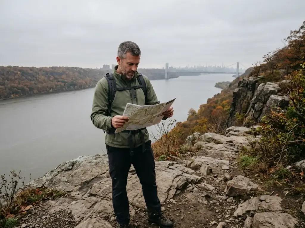
You are fifteen minutes off the George Washington Bridge, and you are using your hands on rock. The bridge is still visible over your shoulder. That mismatch is the whole story of the Palisades Interstate Park trail system, and the park says so itself: many first-time hikers are surprised at how rugged these trails can get.
The park publishes its hiking trails in neat difficulty tiers, but a difficulty rating does not tell you which route to walk on a Saturday in April with two kids and three hours. This guide takes the park’s own index plus the current trail alerts and turns both into a decision: how the two spine trails and five connectors work as one system, and which loop matches the day you actually have.
How the Palisades Interstate Park Trail System Actually Works
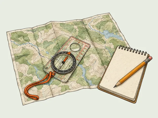
Every trail guide for this park hands you a list. Nobody hands you the map that should be in your head, which is simpler than the list makes it look: the entire park is two long trails with five rungs between them, like a ladder laid on its side along the Hudson.
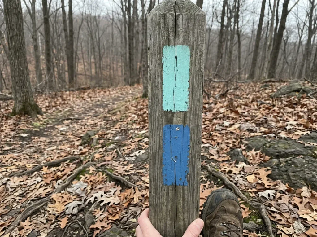
The Long Path runs the clifftop for about eleven miles under aqua markers. The Shore Trail runs the riverfront for about twelve under white ones. Both cover the full length of the park and both carry National Recreation Trail status.
One gives you the view down from the cliff summit, the other the view up from the Hudson River shoreline, and those are genuinely different hikes on the same afternoon. All of it is confirmed on the park’s own trail index, mileage and marker colors included.
Then there are the connecting trails, and this is where your route actually gets decided. Five of them climb between river and clifftop, and each one charges a different price in elevation: Carpenter’s Trail (blue, 320 feet), Dyckman Hill Trail (yellow, 340 feet), Closter Dock Trail (orange, 360 feet), Huyler’s Landing Trail (red, 440 feet), and Forest View Trail (blue-and-white, 520 feet).
Pick your connector by how much climbing you want, not by which one happens to be nearest. Carpenter’s is the gentlest rung. Forest View is the one that makes you breathe.
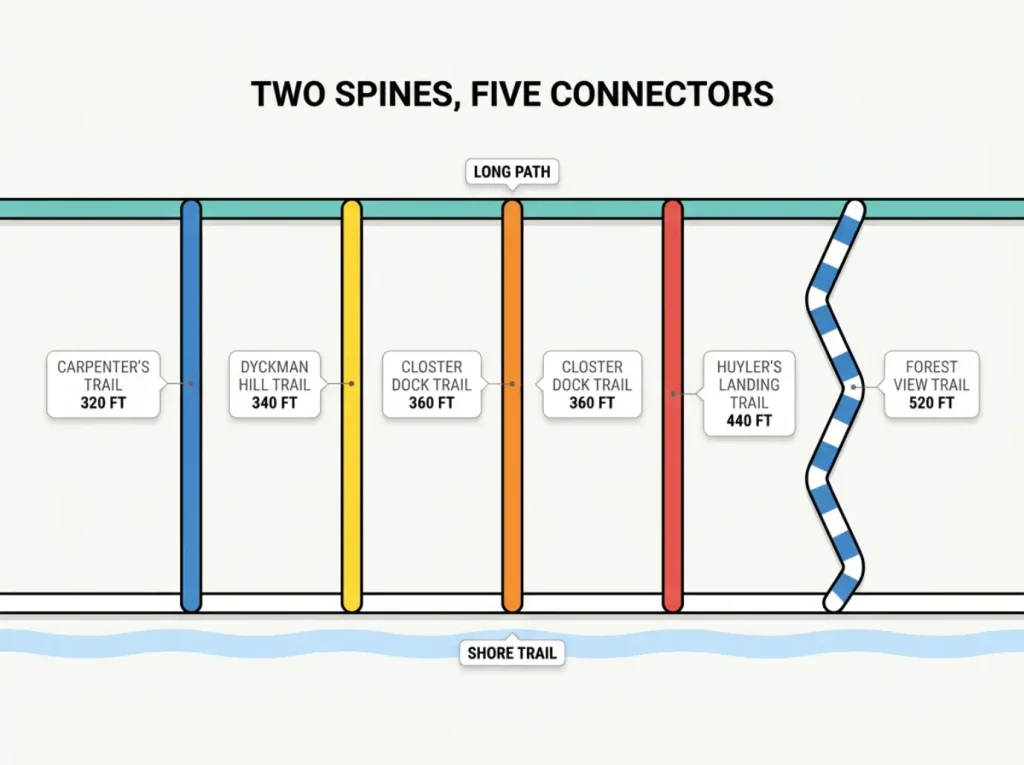
Once you see the ladder, the list stops being a list and becomes a set of choices. Walk a stretch of one spine, cut across on a connector, come back on the other. That is a loop hike, and it is why you never have to copy somebody else’s route here.
Want three miles? A short piece of the Shore Trail, cross on Carpenter’s. Want eight? Run the Long Path north and come back along the river.
Two bits of park vocabulary help you read the trail index and its trail marker colors correctly. A back-and-forth hike is what everyone else calls an out-and-back, so you can turn around at any point and still have had a good day. A lolly-pop loop goes out on a stem, circles, and returns down the same stem. Knowing which is which tells you, before you leave the house, whether bailing early is an option.
Build your loop backwards. Decide how much climbing you want first, pick the connector that matches that number, and only then choose how far along the spine trails you walk. Distance is easy to adjust on the fly. Elevation is not, and 520 feet of Forest View at hour four feels nothing like 320 feet of Carpenter’s at hour one.
Which Palisades Trail to Hike Based on Your Day
The park sorts everything into an easy hike, a moderate hike or a challenging hike tier and leaves you to work out the rest. If you already know the park, fine. If you do not, it is a wall of names. Most people showing up here fall into one of three buckets, and each has an obvious answer, which is really just sorting a park’s trails by what you actually want out of the day rather than by a difficulty label.
If This Is Your First Hike Here
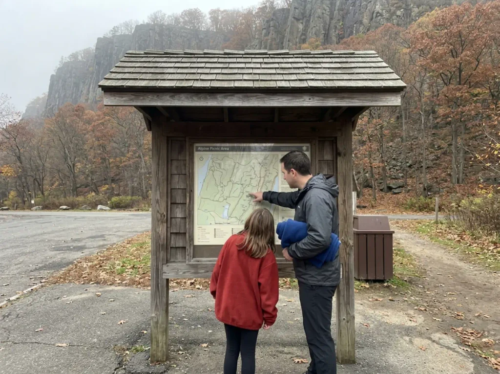
Cape Fly Away Loop is the park’s own lolly-pop loop: about three miles, an hour and a half, from Alpine Picnic Area. Women’s Federation Monument Hike is shorter still, roughly two miles and an hour, from State Line Lookout, and because it is a back-and-forth you can turn around the moment somebody in your group has had enough.
Both come in under two hours. Both work with kids. Neither one will convince you the Palisades are easy, which is the correct first impression to leave with.
If You Want the Classic Loop
Carpenter’s Loop is the park’s stated go-to hike for the southern end: about five and a half miles, two and a half hours, from Fort Lee Historic Park. River, clifftop, and the George Washington Bridge in frame for a good stretch of it. If you only ever hike here once, this is the route.
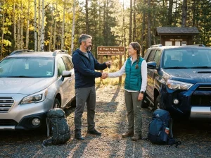
The same Carpenter’s Loop route starts from four different picnic areas: Fort Lee Historic Park, Ross Dock, Allison Park, and Englewood Picnic Area. On a Saturday morning that is four chances instead of one. Have the second lot in your phone before you leave, because the decision you do not want to make is the one you make in a full parking lot with the engine running.
Peanut Leap Cascade Loop is the shorter alternative: about two and a half miles, two hours, from State Line Lookout. Note the ratio. Two and a half miles taking two hours tells you something the mileage alone hides.
If You Want the Hard One
Clinton Point Loop is the long-distance option: about eight miles and five hours from Englewood Picnic Area, and right now it stays open. Huyler’s Landing and Closter Dock Trail Loop runs around five miles with roughly 613 feet of gain, combining two connectors into a moderate-plus day. It is also the route with the strongest community record: the popular White Shore and Long Path Loop nearby holds a 4.7 star rating across thousands of entries, and the trail review volume on these two connectors tracks the same way. Bombay Hook Loop covers about seven miles in five hours.
If the Palisades leave you wanting more New Jersey rock, the two very different routes up Stairway to Heaven are the natural follow-up.
The Giant Stairs Are Closed — Here Is What to Hike Instead
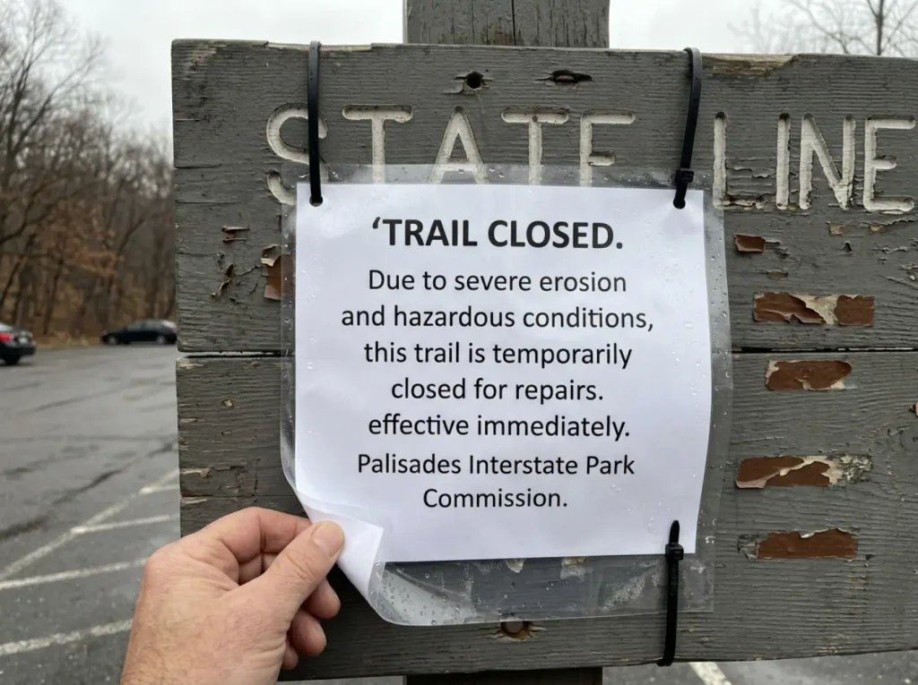
This is the hike people drive out for. Showing up at State Line Lookout, boots on, ready for the scramble, and finding a closure sign is the specific way this park ruins somebody’s Saturday. It has been happening since January.
A rockfall on the morning of January 9, 2026 closed the entire Giant Stairs section of the Shore Trail, and it is still closed because more rock could come down. That is documented in a trail alert from the New York-New Jersey Trail Conference, which also confirms the part nobody wants to hear: there is no announced reopening date.
Here is what you are missing. The Giant Stairs hike is roughly four miles and three hours round trip from State Line Lookout, and about a mile of that is a scramble across a boulder field at the base of the cliffs. Not a rocky trail.
An actual boulder field, where your hands are part of the locomotion. Three hours for four miles is not a typo.
The mistake that costs people most is not checking status before driving out. Parks close and reopen trails with very little notice, and a rockfall is exactly that kind of event. For the mechanism behind it, why trails close and how reroutes get decided covers how these calls get made and how long they tend to last.
Check the park’s advisories page the morning you go. Thirty seconds, cheapest insurance in hiking.
The swap depends on what you came for. To salvage the trailhead you already drove to, take Peanut Leap Cascade Loop from the same lot. If you came for the mileage, drive south for Clinton Point Loop: eight miles, five hours, no closure. Hudson Valley hikers have run this drill before, and how hikers reshuffled their plans around the Breakneck Ridge closure follows the same pattern.
One more thing for when it reopens. The scramble is not a wet-rock or icy-rock hike. Field write-ups are consistent on that, and it applies to the whole cliff-base boulder terrain, not just the marked section.
Why This Park Gets Rugged Faster Than People Expect
You can see the George Washington Bridge from several of these trails. That single fact does something to your expectations before you leave the car, and the park knows it: their own site admits first-timers are surprised at how rugged the trails get. A city skyline in your peripheral vision tells your brain this is a park, not a mountain.
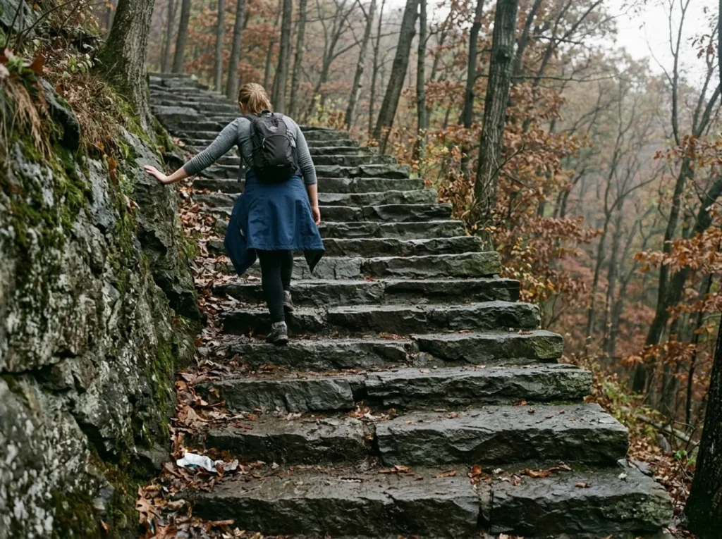
The connectors are old wagon roads and stone stair sections cut into the cliff face. They gain three to five hundred feet over a short horizontal distance, which is a real grade regardless of total mileage. A trail that climbs 520 feet in well under a mile is doing mountain work with park-sized numbers attached.
The scheduling mistake follows from that. People budget city-park time for cliff-park terrain. A five-and-a-half-mile loop here takes two and a half hours and a seven-mile one takes five, and those are the park’s own posted numbers. If your mental math says three miles an hour, the Palisades will correct you by hour two.
Then there is the rock scramble work, a different activity from walking and the part almost nobody plans for. It changes your pace, your grip needs, and what you can carry loose in your hands, which is to say none of it. For calibration, what a genuinely tough scramble day on the Hudson looks like sets the upper end of the scale, and the Lemon Squeeze at Mohonk Preserve covers the same Class 3 problem in a different rock type.
Cliff-edge exposure on the Long Path is real in places. The clifftop trail is on the clifftop. That is a description rather than a warning, but it changes how you handle a group, a camera, and a dog.
The tell that you have misjudged this park is the stone steps. They arrive without much warning on the connectors, and they are the exact spot where a comfortable walking pace turns into a climb. Everybody stops at the top of the first flight. Nobody plans for it.
State Line Lookout and the Other Trailheads
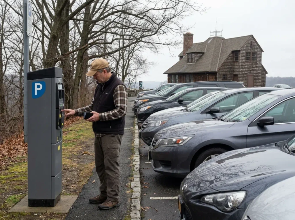
Trailhead choice here is really a parking decision, and parking is the single part of the day most likely to go wrong. State Line Lookout is the obvious answer, and it is also the one that fills first.
State Line Lookout
The lookout sits at 520 feet, the highest point on the Palisades cliffs. Metered parking applies year round here, so bring change or have the app already installed. Free lots are not the default here the way they are at a lot of state parks, and that catches people who assume otherwise. The State Line Cafe runs 9:30 AM to 5 PM most days, with restrooms on site, all confirmed on the park’s State Line Lookout page.
State Line Lookout has the biggest lot in the park and it still fills fast on weekends. Early here does not mean nine. It means you are parked before the cafe opens at 9:30, walking while the first wave is still circling.
It is also the trailhead for the Women’s Federation Monument hike, the Peanut Leap Cascade Loop, and the Giant Stairs whenever it reopens — three of the park’s busiest routes leaving from one metered lot, which explains the weekend congestion.
The Southern Trailheads
Fort Lee Historic Park, Ross Dock Picnic Area, Allison Park, and Englewood Picnic Area all access the Carpenter’s Loop route, which is the built-in redundancy that makes the southern end easier to plan around. Alpine is also where the park headquarters sits, which is worth knowing if you need a question answered in person.
Englewood Picnic Area starts the Clinton Point Loop, and Alpine Picnic Area is the Cape Fly Away trailhead. Match the lot to the loop before you drive, not after.
Getting There Without a Car
Public transportation reaches both ends of the park. The northern trailhead of both spine trails has a bus stop at US Route 9W at Lamont, on Rockland Coach No. 9. The southern trailhead is Fort Lee Bridge Plaza, served by numerous buses.
For State Line Lookout, take NJ Transit 167 from the George Washington Bridge Bus Terminal toward Tenafly, get off at Closter Plaza, and walk about a mile and a half to the lookout. That walk is not glamorous and it is not on trail, but a mile and a half of road walking is a small tax for a day on the Palisades without owning a vehicle. Budget the extra hour round trip and it works.
Rules, Dogs, and Trail Etiquette Here
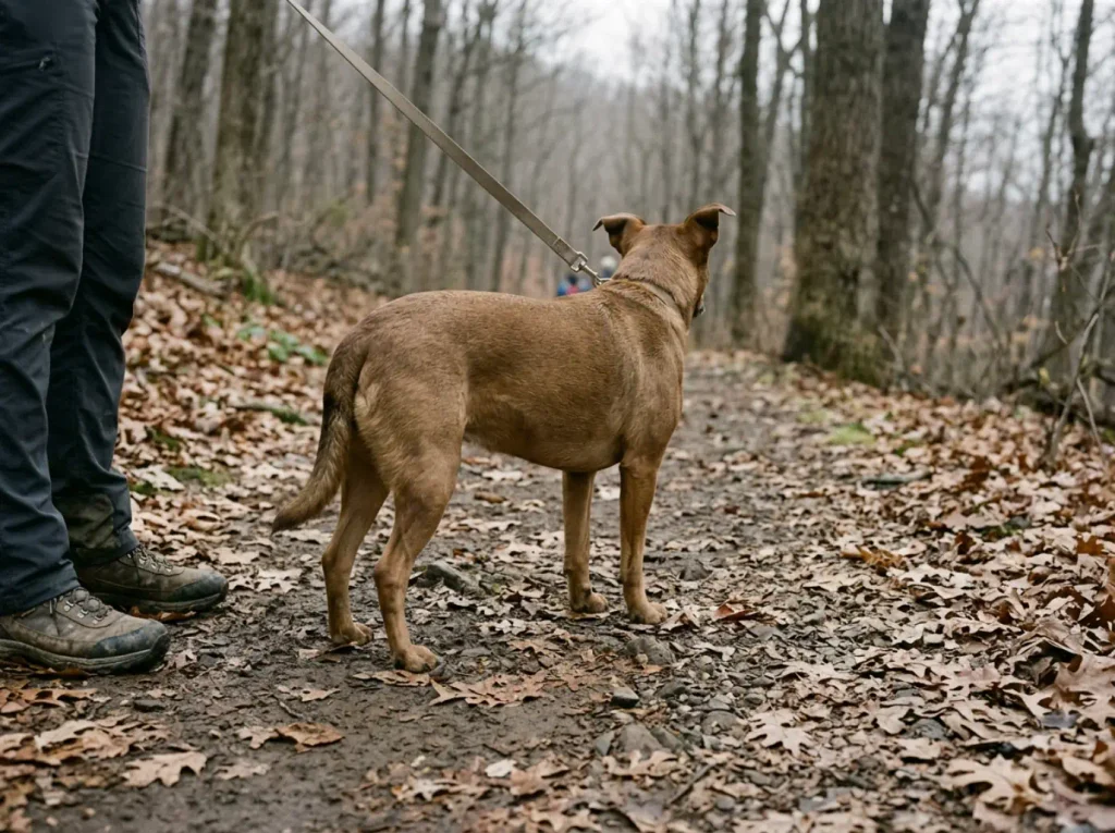
Most park rules are the ones you would guess. Two here are not, and both are about where the dog can and cannot go, which matters a great deal if the dog is already in the back seat.
Dogs are allowed on the trails on leash. That is the headline and it is good news.
The second half is what surprises people: dogs are prohibited in the picnic areas, on the Fort Lee Historic Park and Allison Park pathways, and inside buildings. So the hike is fine and the lunch stop may not be. Owners clean up after pets, enforced by area rather than left to the honor system, and all of it is spelled out in the park’s posted regulations.
The leash rule reads differently once you have stood on the Long Path where the clifftop drops away a few feet off the tread. A dog that recalls reliably in a field is a different animal near an edge with a squirrel in play.
Worth knowing what you are walking through: the park carries both National Historic Landmark and National Natural Landmark designations, and Henry Hudson Drive is a National Scenic Byway. Pack out what you brought in, stay on the tread where cutting a switchback tears the slope open, and give the stone steps space when somebody is coming down. For the full framework, the Leave No Trace basics that apply anywhere cover the rest.
What to Bring and When to Go
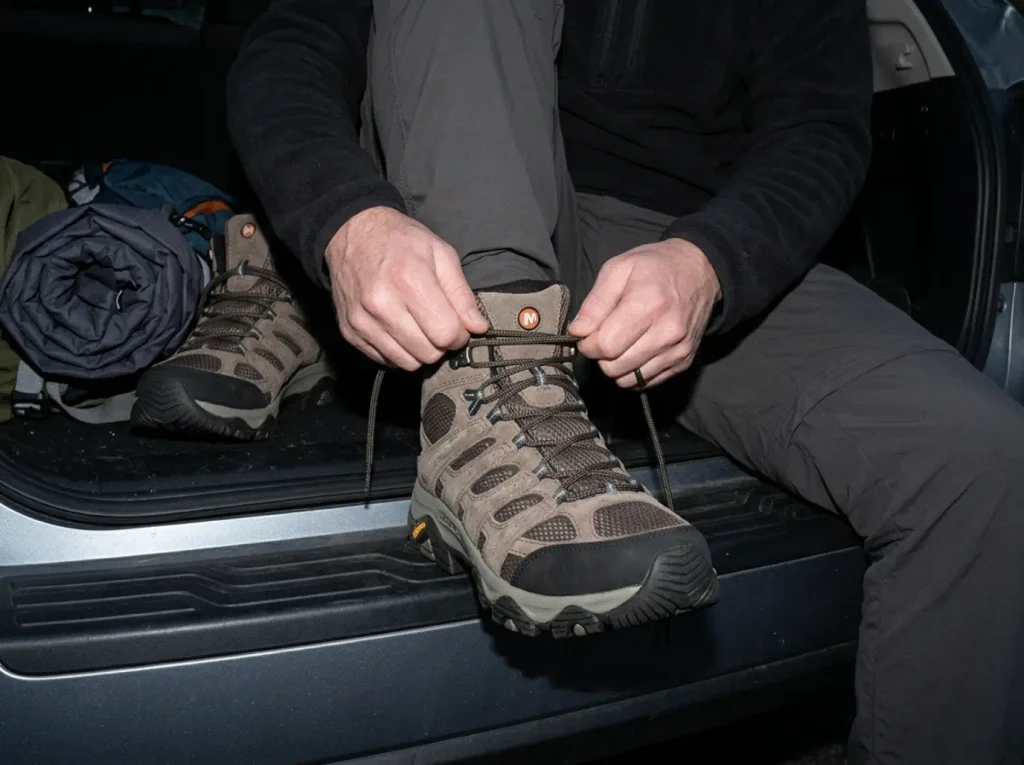
The park’s own hiking tips are a short list, all correct and completely generic. What they do not tell you is which of them actually bites on this terrain. Two do: the footwear and the ticks.
Footwear Is the One That Matters Here
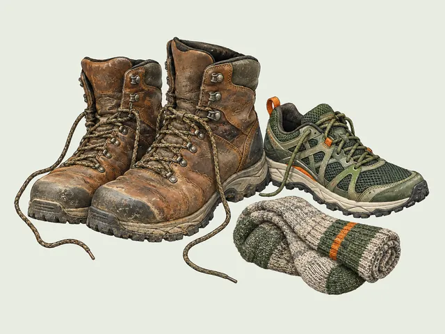
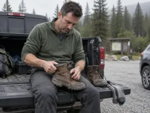
The park lists proper footwear as its first hiking tip. On stone steps and boulder scrambles that is not boilerplate, it is the whole game. Smooth-soled sneakers on wet stone steps are how a routine descent becomes a slow, careful, unpleasant hour.
You want ankle support and real lug grip rather than a running shoe. The Merrell Moab 3 Mid Waterproof (men’s · women’s) sits in that range: a mid-height cuff for the stone steps and a waterproof membrane for river-level sections after rain, without the weight of a backpacking boot you do not need on a five-hour day. If you are still choosing a category rather than a model, what to look for in a hiking shoe breaks down the trade-offs, and how to choose a boot that fits your foot goes deeper on fit.
The rule of thumb here: if the sole flexes freely when you twist it in your hands, it will feel vague on the boulder field.
Ticks and Poison Ivy
The park’s tick precaution is repellent at the cuffs, and cuffs is the operative word. Ticks come from below, off the vegetation brushing your ankles, which is why spraying your arms misses the actual point of contact. A high-DEET option like Repel 100 Insect Repellent at 98% DEET is the budget-friendly workhorse: hit the boot tops, the sock line, and the pant cuffs before you leave the lot, not at the first junction. Tick pressure on Northeast trails is not a summer-only problem, as anyone reading up on tick season on the coastal trails already knows.
Then the tool for after. A TickCheck Premium Tick Remover Kit is a stainless remover plus fine-point tweezers, costs very little, and lives in the pack permanently. Pulling a tick with the right tool beats improvising in a parking lot with your fingernails.
Do the tick check at the car, not at home. Standing in the lot with the tailgate open takes two minutes and catches the ones still walking. The check you postpone until after dinner is the check that finds an attached tick instead of a loose one.
Water and the Seasons
The park’s line is to bring plenty of water and drink it as you go, which holds on the five-hour routes like Bombay Hook and Clinton Point, where there is no resupply and no shortcut back. An insulated Hydro Flask 32 oz Wide Mouth carries enough for a long summer day and still has cold water at hour four, which is when you are most likely to actually drink the rest of it.
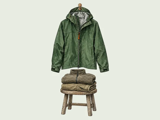
Seasons change this park more than its low elevation suggests, which is the argument for layered clothing rather than one heavy jacket: you climb 400 feet out of the river shade into wind on the clifftop, and you will want to shed a layer at the top of the connector and put it back on at the overlook. In winter the stone steps ice up, and iced steps on a 400-foot connector are a different proposition from a snowy flat trail. The winter closing rule at State Line Lookout is worth knowing: it shuts during significant storms and reopens for cross-country skiing within about a day of plowing, so a storm moves the weekend rather than wrecking it.
Spring brings mud season to the connectors, whose steep old wagon roads hold water in a way the clifftop tread does not. Fall is the best case and also the most crowded, which is what an early arrival at State Line Lookout is really for.
The one field write-ups agree on unanimously: do not take the scramble on wet or icy rock. It gets meaningfully harder, the margin for a slip narrows fast, and that applies to the whole cliff-base boulder terrain. For your next regional planning day, the full Sam’s Point planning guide covers the next tier of Northeast destination hiking.
Conclusion
Two spine trails, five connectors. That is the entire park, and once you hold that picture you never need to copy anyone else’s route again.
Match the loop to the day you actually have. Cape Fly Away or Women’s Federation if you are new, Carpenter’s Loop for the classic Hudson-and-bridge version, Clinton Point if you want to be tired at the end.
Check the Giant Stairs status before you drive out. It has been closed since January 9 and the clean swap is Peanut Leap Cascade from the very same parking lot.
Pull up the trail index tonight, pick one spine and one connector, and see what loop falls out of it. That is the whole trick, and it takes about four minutes.
Frequently Asked Questions
01What is the best trail to hike in Palisades Interstate Park?
Carpenter’s Loop, about five and a half miles and two and a half hours from Fort Lee Historic Park, is the park’s own go-to hike for the southern end. If you are new here, Cape Fly Away Loop from Alpine Picnic Area is the easier three-mile answer.
02How long is the Shore Trail in Palisades Interstate Park?
About twelve miles, marked in white, running the full length of the park along the riverfront. Its clifftop counterpart, the Long Path, runs about eleven miles under aqua markers, and both are National Recreation Trails.
03Is the Giant Stairs hike open?
No. The entire Giant Stairs section of the Shore Trail closed after a rockfall on January 9, 2026, and there is no confirmed reopening date. Check the park’s advisories page the morning you plan to drive out.
04Where do you park for Palisades Interstate Park trails?
State Line Lookout has the largest lot, with restrooms and a cafe, and it is metered year round. The southern routes start from Fort Lee Historic Park, Ross Dock, Allison Park, or Englewood Picnic Area.
05Are dogs allowed on Palisades Interstate Park trails?
Yes, on leash. They are prohibited in picnic areas, on the Fort Lee Historic Park and Allison Park pathways, and inside buildings, and owners must clean up after them.

I've spent more than a decade researching hiking gear and trail technique. I read the specs, the forum threads and the long-term reviews, and every pick here comes with what it gets wrong.
End of the trail
You read every mile of this one. Here's where the trail goes next.