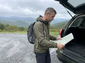
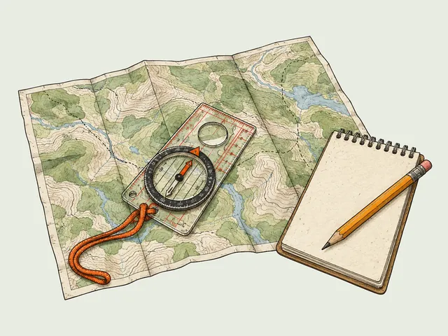
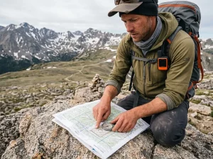
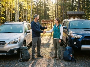



Two people can both tell you they hiked Stairway to Heaven last weekend and have walked completely different days. One did 2.6 miles and was back at the car in two hours. The other did 7.3 miles, crossed a suspension bridge, and started the actual climb when their legs were already tired. If you cross-referenced two trail listings and got two mileages, neither of them made a typo, and this exact confusion shows up in North Jersey hiking threads all year long.
Here’s which route is actually yours, where to park before the lot fills, the one turn people miss, and what the climb really asks of your legs.
There Are Two Stairway to Heaven Hikes and They Aren’t the Same
The name belongs to a climb, not to a trailhead. What everyone is talking about is the steep push up Wawayanda Mountain to Pinwheel’s Vista, a rock-slab staircase that gains most of its elevation in one concentrated stretch. The problem is that two completely different approaches reach that same climb, and whichever one a trail listing used is the mileage it published. Nobody labels which version they walked.
So you get 2.6 miles on one site and 7.3 on another, and you assume somebody was sloppy.
The short version starts at the dirt pull-off on Route 94 in Vernon Township NJ. It is a simple out-and-back trail: you climb, you look, you come back the same way.
You cross a field, hit a boulder field, and then the trail goes up. Round trip it is 2.6 miles, and that is the hike almost everyone means when they say the name out loud. It is also the version with the parking problem, which we’ll get to.
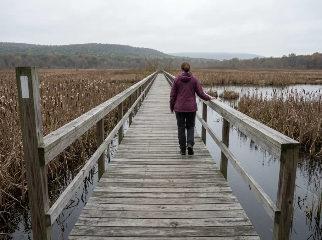
The long version starts on the Pochuck Valley side and runs 7.3 miles round trip with roughly 1,095 feet of gain. You walk the Pochuck Boardwalk, cross the Pochuck Suspension Bridge, work through the valley, and only then start climbing Wawayanda Mountain. Same summit, same view, entirely different day. This is a half-day outing with a real drive-home tiredness to it.
Here’s why the naming stays muddy: both routes are white-blazed Appalachian Trail for nearly their entire length. The AT runs 20 miles through Wawayanda State Park, and the corridor doesn’t stop at any point and announce “the Stairway to Heaven section begins here.” The name is hiker shorthand that stuck, not an official designation. Signage doesn’t clarify it, AllTrails doesn’t clarify it, and the trailheads sit several road miles apart from each other.
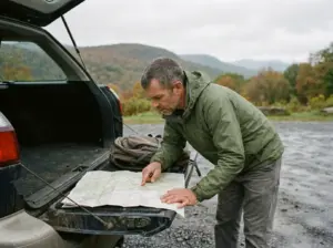
The failure mode is predictable. Someone budgets a quick two-hour outing, punches the wrong trailhead into their phone, and finds out at mile three that the climb hasn’t even started. Or they show up at Route 94 expecting the boardwalk they saw in every photo, and there’s no boardwalk anywhere near them. Both mistakes are entirely avoidable and both happen constantly.
Sort the route out at your kitchen table, not in a gravel lot with the engine still ticking. If you’re building a broader North Jersey list, there are other North Jersey hikes worth the drive that don’t come with this particular naming trap attached.
Pick Your Route Before You Leave the House
Nobody picks a route off a stats table. You pick it from how much daylight you have and who’s riding in the car with you. Frame it that way and the choice gets easy. There are actually three viable options here, not two, and the middle one barely gets written about.
The Boardwalk Only, If You’re Bringing Small Kids or Skipping the Climb
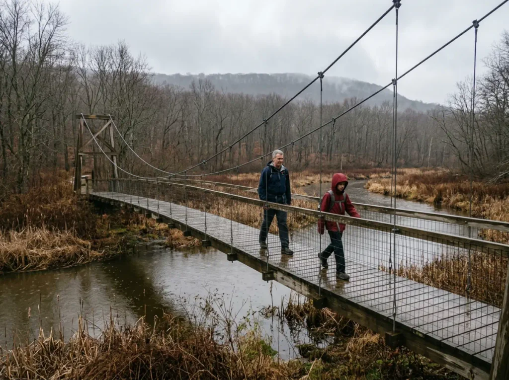
The boardwalk out-and-back is 1.8 miles with about 25 feet of elevation gain. That’s it. It is flat, elevated planking through wetlands, and it happens to be the longest elevated boardwalk on the entire Appalachian Trail. Halfway along you cross the 144-foot Pochuck Suspension Bridge over Pochuck Creek, which bounces slightly under your feet in a way kids find deeply entertaining and some adults find less so.
This segment is wheelchair-accessible, which makes it the one genuinely casual option in this whole area and the one nobody lists when they write about Stairway to Heaven. You get the single most photogenic feature of the entire route with zero climbing. The NY-NJ Trail Conference’s official Pochuck Boardwalk map has the segment details and access points if you want to check the specifics before committing.
The Middle Option Most Guides Skip
Take the boardwalk and extend east toward Route 94 and you get 4.5 miles with roughly 400 feet of gain. This is the version that almost every guide erases by framing the hike as short-versus-long, and it’s a shame, because it fits a lot of people better than either extreme.
Think about who this is for. Somebody who wants a real half-morning of walking, wants the bridge and the wetland, wants to feel like they did something, but has no interest in a thousand-foot climb up rock slabs. Somebody hiking with a partner whose knees have opinions. Somebody who’s coming off a long layoff and knows the difference between “I want mileage” and “I want vertical.”
Four and a half miles of near-flat AT is a genuinely good day, and 400 feet of gain spread across that distance is a rolling walk, not a climb.
It’s also the smart move on a hot July afternoon. The valley section has shade and water nearby, and you skip the exposed slab climb that turns into a furnace by noon. The trade is that you never get the view, so if the summit photo is the whole point of your trip, this isn’t your route. That kind of honest self-assessment matters more than fitness numbers, and it’s the same logic behind sorting trails by your actual hiking level rather than by what the listing calls “moderate.”
The Short Climb, Which Is What Most People Actually Want
From the Route 94 lot, 2.6 miles round trip, with essentially all of the elevation packed into the middle mile. This is the highest payoff-per-mile of anything in the area. You are at the vista in well under an hour and a half if you’re moving steadily, and you’re looking out over the Kittatinny Mountains along the Kittatinny Ridge, Pochuck Mountain, and on a clear day the High Point Monument poking up in the distance.
It’s the route with the best ratio and the worst logistics. The parking situation bites hardest here because everyone wants this exact hike, and the lot was not built for everyone. Budget your day around getting a spot, not around the walking.
The Full 7.3-Mile Route, and Who It’s Actually For
Boardwalk, bridge, valley, then the full climb. This is the complete AT experience through this corridor and it earns the description. You get the wetland, the suspension bridge, the transition into the woods, and then the mountain.
The honest framing: this is a half-day commitment minimum, and the climb comes at the end, when your legs already have four miles in them. That’s a different climb than the one the 2.6-mile crowd does. Same rocks, same grade, much heavier legs.
Plan on roughly five hours with stops and you’ll be about right. If you’ve never done the boardwalk before and you want the full thing in one push, this is genuinely worth doing once. If you’re going to be back here twice a year, split it into two separate hikes and enjoy both more.
The Parking Lot Holds Seven Cars and That Changes Everything
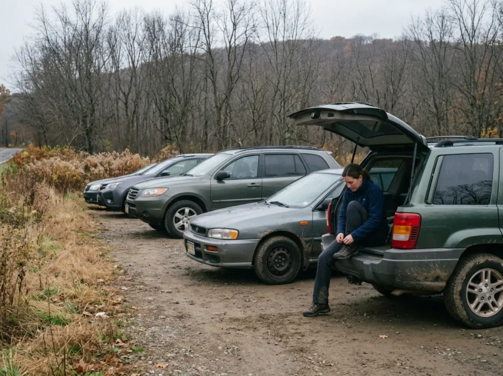
Every guide says “arrive early.” None of them tell you what 9am on an October Saturday actually looks like when you pull in, so here it is.
The dirt lot on Route 94 holds six or seven cars. That is the entire free supply for the most popular short hike in this part of the state. It costs nothing, it has no attendant, and it does not expand on busy days. Just past it there’s an overflow parking lot that runs around $8.50 through the ParkMobile app, and that rate has been drifting upward, so treat the number as approximate and check the app when you’re standing there.
The arithmetic on a peak fall Saturday is unkind. The free spots are gone before 7:30am. Locals describe the pattern the same way every time: pull in at 6:45 with two or three cars already parked and watch the last spot disappear before 7:30, coffee still hot. Show up at 9am and you’re not choosing between free and paid, you’re choosing between paid and driving home.
On the very best foliage weekends even the overflow fills, and then you’re circling.
Set up ParkMobile on your phone in the driveway, not in the lot. Cell service at the Route 94 trailhead is thin enough that people have stood there for ten minutes trying to create an account while the clock ran. Have the app installed and your card saved before you leave.
The road shoulder is not a third option, whatever you see when you get there. Route 94 is a fast two-lane with soft edges, and cars parked along it get ticketed and occasionally towed. People do it anyway, usually the same people who arrive at 10am and decide the rules are for other hikers. An $8.50 parking fee is cheaper than the alternative by a wide margin.
The same arrival-time math plays out at Cold Spring, where a small shared lot serves a much larger crowd and the threshold hour decides your whole day.
One clarification that trips people up: park entrance fees for Wawayanda State Park apply at the main park entrance, not at this roadside trailhead. In summer, the main entrance runs $5 to $10 for residents and $10 to $20 for non-residents depending on the day, per Wawayanda State Park’s official fee schedule. The Route 94 dirt lot sits outside that gate entirely. If someone tells you the Stairway to Heaven hike costs $20 in July, they drove to the wrong entrance.
The Cairn Turn Is Where People Lose the Vista
The trail doesn’t punish you for missing this turn. That’s the whole problem. It just quietly keeps going, comfortable and well-blazed, and twenty minutes later you’re standing at a mailbox in the woods wondering where the view went.
What You’re Actually Looking For
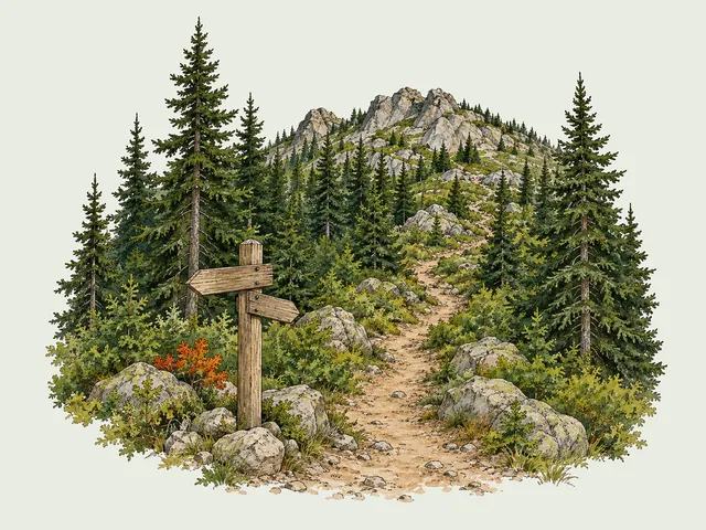
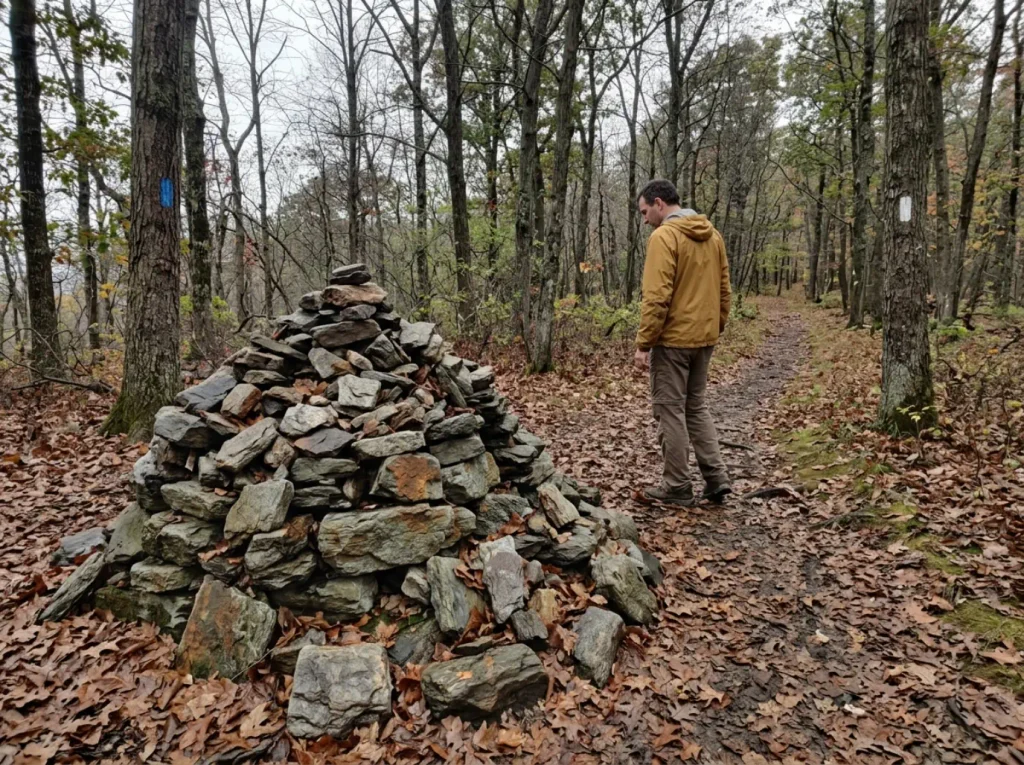
Roughly 1.2 miles up from the Route 94 lot, after the climb has done most of its work, a blue-blazed spur breaks left off the white-blazed AT and runs out to Pinwheel’s Vista. That short blue spur trail is the only part of this hike that isn’t the AT itself. Blue blazes mean a side trail, white blazes mean the Appalachian Trail proper. That distinction is the single most useful thing to have in your head on this hike.
The landmark is a cairn, which is a stacked pile of rocks that hikers build as a marker. This particular one has grown noticeably over the years as people add stones to it, and repeat visitors going back more than fifteen years describe it as visibly bigger each time. It is now more reliable than the signage, which has been inconsistent and occasionally absent.
Locals will just tell you to look for the big rock cairn. That’s the actual instruction.
Coming up the climb, your eyes are down. That’s how steep sections work. You’re picking foot placements on slab and boulder steps, breathing hard, and the world narrows to the next three feet of rock. Then the grade eases and it feels like the hard part is over, and that easing is exactly where the junction sits.
Look up when the trail flattens. That’s the whole trick.
The Mailbox Means You Went Too Far
Stay straight on the white blazes past the cairn and after a few hundred yards you reach a mailbox nailed to a tree. Inside is an Appalachian Trail register, a logbook where thru-hikers sign in with their trail names and leave notes for the people behind them.
If you’re standing in front of that mailbox, you overshot. That’s the “wait, this isn’t right” moment, and it is common enough that guidebooks treat it as a documented feature rather than a rare mistake. The cost is small: a few hundred yards each way, plus walking back past everyone who turned correctly while you look at the ground.
Honestly, open the mailbox before you backtrack. Register books are AT culture that most day hikers never encounter. You’ll find trail names, weather complaints, drawings, and the occasional note from someone who started in Georgia in March. It’s a five-minute detour into a world that runs right past your Saturday morning without you noticing.
That is a fair trade for a navigation error.
Download the offline map before you leave home, and drop a pin on the blue-spur junction while you still have service. Cell coverage is spotty on the climb, and a map that won’t load is the same as no map. Two minutes in the driveway saves the backtrack.
Trails don’t warn you when you’re making a mistake. They just keep going, which is why the specific failure points on a route are worth knowing before you walk it, the same way the mistakes that end hikes at Mohonk are a fixed list that repeats with new hikers every season.
What the Rock Slabs Do to Your Feet and Knees
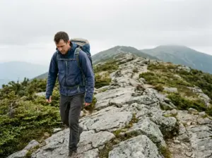
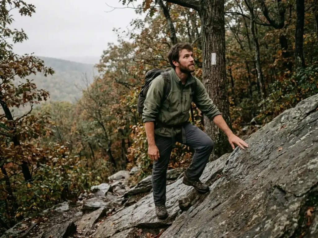
The word “stairway” sells this as a staircase. It isn’t one. It’s tilted rock slab steps and uneven boulder steps stacked at inconsistent heights, some knee-high, some ankle-high, none of them where your legs expect. Long sections are closer to rock hopping than walking, and the uneven footing is what tires people out, not the grade.
And the descent hurts more than the climb does.
The Climb Is Short and It Is Steep
The elevation lives in the middle stretch. You get a flat approach across a field, a boulder field that wakes your ankles up, and then the steep ascent starts in earnest. From there it is rocky terrain the whole way. In a few spots it becomes genuine Class 2 scrambling, where you’ll want three points of contact and a free hand on the rock.
Nothing technical, nothing exposed, just steep enough that you stop talking.
Calibration matters here, so let’s be honest about it. If you’ve already done Breakneck Ridge, this climb will feel like a warm-up. Breakneck asks for sustained hands-on scrambling with real exposure; this asks for a steep, rocky push you can do in trail shoes on a dry day. The Major Welch Trail on Bear Mountain sits somewhere between the two.
Stairway to Heaven is a real climb that a reasonably fit person handles fine, not a scramble that requires you to psych yourself up in the parking lot.
Annie’s Bluff sits about 0.7 miles up, just past halfway to the vista. It’s a limited viewpoint and easy to walk right past, which is a shame, because it’s also your honest go or no-go checkpoint. If the climb already feels like too much when you reach it, the terrain past that point gets steeper and rockier, not gentler. Turning around at Annie’s Bluff is the smart call. Nobody at the trailhead is keeping score, and pushing on from there is how people end up descending on tired legs, which is exactly when ankles roll on slab.
Footwear Is the One Purchase That Isn’t Optional
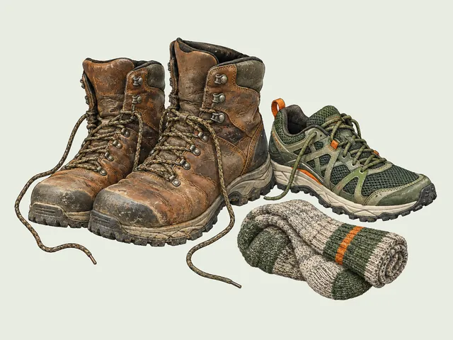
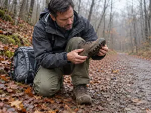
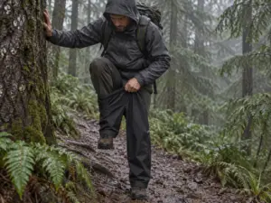
Wet rock slab plus a worn outsole is how people go down on the descent. Not dramatically, usually. Just a foot sliding out sideways on a tilted rock, a hand slapping down, and a bruised hip that reminds you about it for a week. Tread depth on your soles matters more on this trail than anything else in your pack.
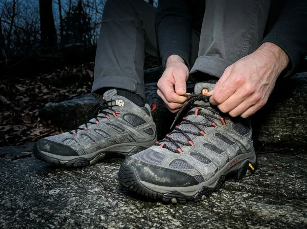
For a hike like this you want mid-height high-traction boots with a sticky, deep-lugged outsole and a waterproof membrane, because the lower stretch stays damp and the slabs hold water long after the rain stops. The Merrell Moab 3 Mid GTX (men’s · women’s) covers exactly that, with a GORE-TEX membrane and a Vibram TC5+ outsole built for wet rock. What makes it the right call here specifically is how forgiving it is: it runs wide, it needs almost no break-in, and it doesn’t demand the narrow, precise foot that technical boots assume.
The anti-sell is worth stating flatly. You do not need a technical approach shoe for this trail. You do not need a stiff mountaineering boot. Plenty of people walk it in trail runners on a dry summer day and are perfectly fine.
What you cannot get away with is a smooth, worn-down sole on wet rock, and that’s true whether the shoe cost forty dollars or three hundred. Look at your outsole before you drive out. If the lugs are rounded off, that’s your answer.
Poles Earn Their Keep on the Way Down
Going up, your quads do the work and your knees mostly go along for the ride. Coming down a rock-slab staircase, every step lands your full weight on a bent knee joint with nothing absorbing it. That’s why people who feel great at the summit are limping in the parking lot. Hiking poles take a meaningful chunk of that load off the joints and give you a fourth point of contact when a slab is wet or a boulder step is higher than it looked.
The Cascade Trekking Poles (Ultra Light 100% Carbon Fiber) work well for this kind of day: the pair weighs under a pound, they’re adjustable, and carbon fiber means you stop noticing them in your hands. On a 2.6-mile hike, weight in your hands matters more than you’d think, because you’ll be holding them the entire time rather than strapping them to a pack.
There’s a second place they matter that nobody mentions: the boulder field near the trailhead, on the way back, when you’re tired and stepping between rocks that shift slightly under load. That’s a classic twisted ankle setup, and a pole planted ahead of you turns an awkward step into a non-event. There’s more to it than load transfer too, and what poles actually do for your balance is a mechanism worth understanding before you decide they’re only for people with bad knees.
Set them long for the descent. Most people leave poles at their uphill length, plant them below their feet on a steep grade, and get nothing out of them. Add a few centimeters at the top of the climb and let the poles reach the rock while your arms stay relaxed.
Which Season You Pick Changes the Hike Completely
Four different trails share this one trail’s name, and the difference isn’t the route. It’s the calendar.
Mid-October Is the Payoff and the Problem
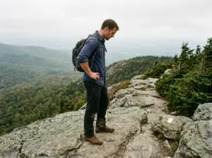
Peak fall foliage at this elevation and latitude lands in mid-October, and that view from Pinwheel’s Vista across the Kittatinny Ridge is what this whole trail is selling. It is a genuine panoramic view: ridgeline color running out toward the horizon, the valley below it, the Shawangunks and the Catskills stacking up in the distance on a clear day. The exposed summit rock gives you somewhere to sit while you take it in. It is genuinely worth the climb.
It is also the only time of year when parking becomes a competition rather than a formality. Weekday mornings are the move, and experienced local hikers name Tuesday specifically: past the weekend overflow, before the Thursday-Friday crowd starts planning. You get the color, an empty lot, and a vista you might have entirely to yourself for twenty minutes.
Bring binoculars or a zoom lens if you want to actually pick out High Point Monument from Pinwheel’s Vista. The white obelisk sits far out on the Kittatinny Ridge and dissolves into a hazy sky without magnification. People stare right at it and never see it.
Winter Turns the Slabs Into Ice Sheets
The same rock slabs that make the climb fun in October become sheet ice in January, and this is where the trail changes character entirely. Tilted rock with a thin glaze on it does not care how good your boot tread is. Lug depth works by biting into a surface, and ice has nothing to bite. You will slide, and on a slab pitched at a steep angle, sliding goes somewhere.
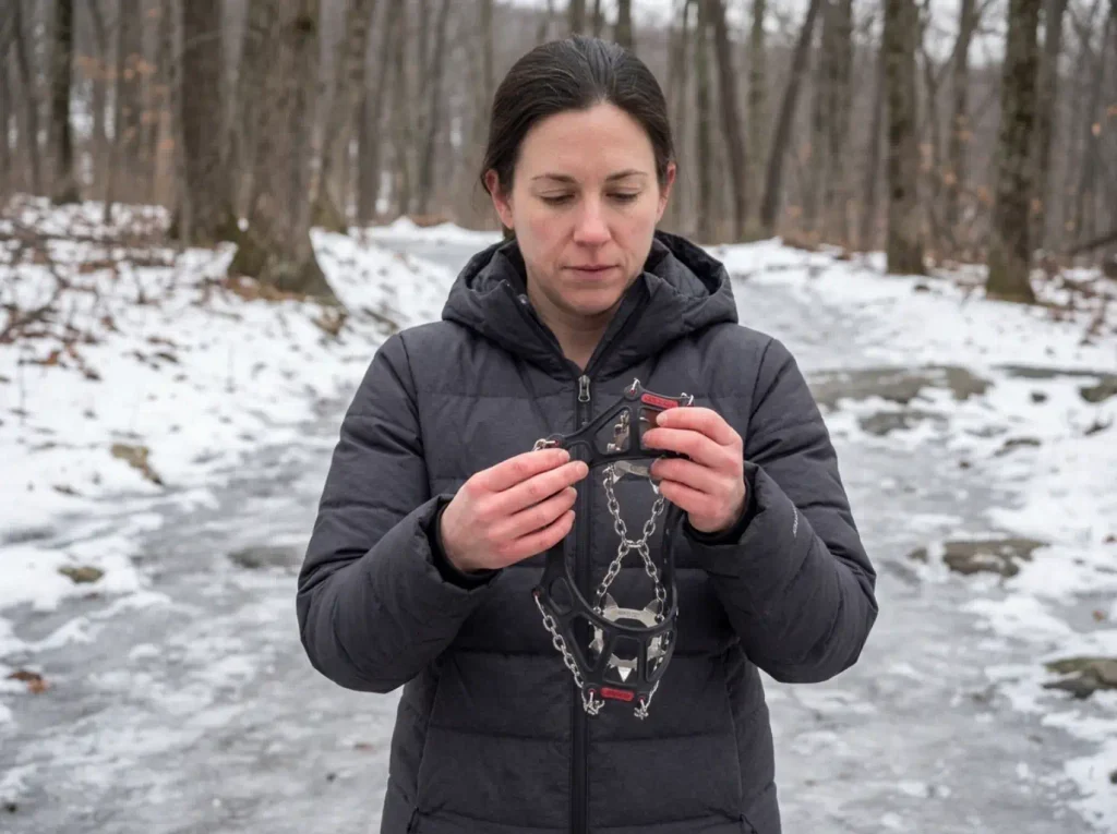
Traction devices solve this, and Kahtoola MICROspikes are the standard answer for exactly this terrain: steel spikes on a stretch-fit chain harness that pulls over whatever boot you already own. They go on in about thirty seconds at the bottom of the steep section and come off at the top. Carry them from December through March even when the forecast looks mild, because a south-facing slab can be bare while the next one is glazed.
Knowing when microspikes are enough and when they aren’t matters if you hike winter regularly. For this trail, spikes are the right tool and crampons are overkill.
The other winter reality is postholing on the lower stretch, where snow drifts and crusts over. You step on what looks like solid snowpack, break through to your knee, and repeat that a hundred times across the flat approach. It’s exhausting in a way the distance doesn’t predict, and it’s why a two-hour hike becomes a four-hour hike after a big snow.
Mud Season and Summer Have Their Own Problems
Spring is the underrated hazard. Snowmelt and rain turn the steep sections genuinely slick, and mud on tilted rock behaves a lot like ice with none of the visual warning. Mud season also chews up the trail edges, because people step around puddles instead of through them and widen the tread a little more each time.
Summer flips the problem to heat. That climb is exposed on the upper half with limited canopy, and the rock radiates warmth back at you all afternoon. Start early, carry more water than a 2.6-mile hike suggests you need, and watch the afternoon thunderstorm window, because an open summit is the last place you want to be when a cell builds up over the ridge. The valley section on the long route brings its own tax in bugs from June onward, so pack repellent if you’re doing the boardwalk approach.
Kaaterskill Falls runs into the same seasonal swings if you’re trying to plan a full season of Northeast hikes rather than one Saturday.
What to Pack, and the Part About Bears
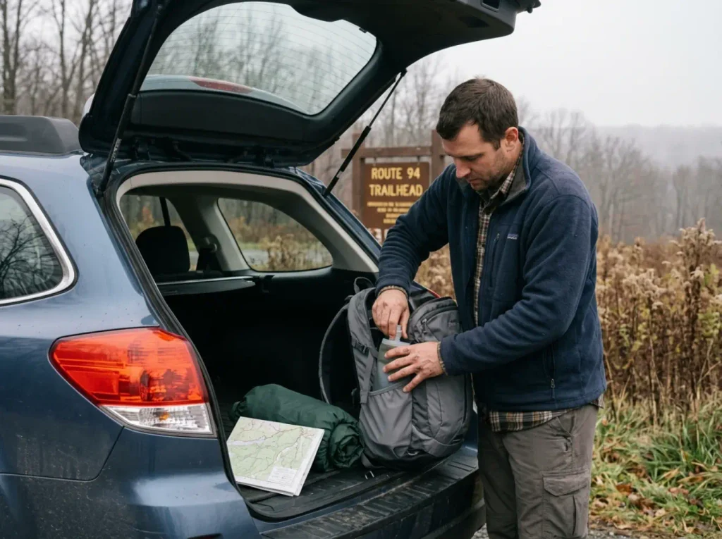
This is a short hike close to a road, which is exactly why people bring nothing and then wish they had. Two and a half miles feels like a walk until you’re a thousand feet up on rock with an empty water bottle.
The Kit This Trail Actually Asks For
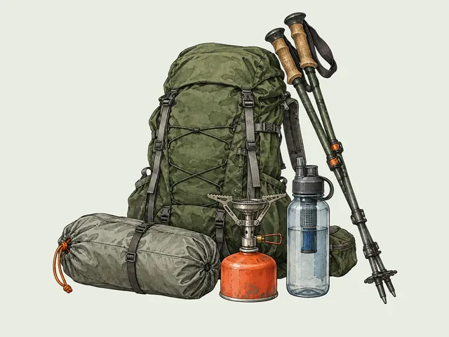
Three things carry more weight here than the generic list suggests. Hydration, because a steep exposed climb burns through water faster than flat mileage does, and there is nowhere to refill. An offline map, because the cairn junction is the one decision point where being wrong costs you the whole reason you drove out. Insulating layers, because Pinwheel’s Vista is meaningfully colder and windier than the parking lot, and you arrive there sweaty.
People stand at the vista for five minutes and then leave shivering, when a light shell in the pack would have bought them half an hour of sitting there.
Everything else is the ten essentials, covered in the day-hike checklist worth running through rather than anything trail-specific. Headlamp if you’re starting late, first aid basics, something to eat at the top. This trail is a good one to build the habit on, precisely because the consequences of forgetting something are mild here and less mild elsewhere. That’s how a core gear system builds up: boots first, then traction and poles, then the small things you only notice when they’re missing.
Bear Country Rules That Apply to a Day Hike
Wawayanda is active black bear habitat, and the North Jersey bear range carries the highest bear densities per square mile anywhere in the Northeast. For a day hike, though, this is mostly about your car and your wrappers, not about hanging food from a tree.
Day-hike food storage comes down to one rule: don’t leave a cooler, a grocery bag, or visible snacks on the seat at the trailhead. A bear that has learned cars contain food will investigate one, and the resulting damage is expensive and entirely preventable. Trunk or nothing.
On the trail, pack out every wrapper, including the corner you tore off the granola bar. Food conditioning is what turns a wild bear into a problem bear, and problem bears do not have long careers. New Jersey’s black bear safety guidelines cover the encounter protocol if you want the state’s full guidance, but the day-hiker version fits in one line: give it space, make noise, don’t run, and never get between a sow and cubs.
Why Staying on the Blazes Isn’t Just Etiquette Here
The 20-mile AT stretch through Wawayanda gets heavy traffic from people who have never read a blaze in their lives, and this corridor absorbs that traffic every weekend. That’s not a complaint about beginners. Everyone starts somewhere. It’s a description of the load this specific piece of trail carries.
The visible consequence is on the steep section, where cutting switchbacks has created trail erosion that trail groups actively track and repair. Every shortcut down a slope becomes a channel, every channel moves water, and moving water takes the tread with it. On rock slab it shows up as loose scree and widened bare patches on either side of the marked line. That’s not a hypothetical future problem, it’s what you’re walking past on the way up.
Stay on the blazes, walk through the mud instead of around it, and the trail holds. It’s Leave No Trace with a local address rather than a lecture. If you want to see how this trail fits into the bigger picture of the region, the wider US East and Appalachia trail guide covers the ridgelines that stack up in the view from Pinwheel’s Vista.
Conclusion
Decide which of the three routes is yours before you turn the key, because the name covers a 1.8-mile boardwalk stroll and a 7.3-mile haul with equal enthusiasm and neither one is labeled.
Be in the Route 94 lot before 7:30 on a fall weekend or plan on the ParkMobile lot. There is no third option that doesn’t involve a ticket.
Watch for the cairn about 1.2 miles up, on your left, right where the grade eases. If you reach the mailbox, you went too far. Read a few entries in the register, then turn around.
Pick the route that matches the day you actually have and this trail delivers exactly what it promises. Pick the wrong one and it’s a completely different hike, which is the whole reason it confuses people in the first place.
Frequently Asked Questions
01How long does it take to hike Stairway to Heaven NJ?
The 2.6-mile route from Route 94 takes most hikers 2 to 3 hours round trip. The 7.3-mile Pochuck Valley version runs 4 to 5 hours. The variable that moves the number is the descent, not the climb, because rock slabs slow careful footing more than steep ground slows a strong hiker.
02How hard is the Stairway to Heaven hike?
Moderate to strenuous, short but genuinely steep, with Class 2 scrambling in a few spots where you will want a hand on the rock. It is noticeably easier than Breakneck Ridge. Annie’s Bluff at 0.7 miles is the built-in turnaround point if the climb already feels like too much.
03Where do you park for Stairway to Heaven?
The free dirt lot on Route 94 in Vernon Township holds only 6 to 7 cars. A paid overflow lot sits just past it and runs about $8.50 through the ParkMobile app. On fall weekends the free spots are gone before 7:30am, and roadside shoulder parking risks a ticket or a tow.
04Is Stairway to Heaven part of the Appalachian Trail?
Yes. The climb follows the white-blazed Appalachian Trail up Wawayanda Mountain, and Pinwheel’s Vista itself sits on a short blue-blazed spur off it. That AT overlap is also why mileage listings disagree, since different guides start counting from different AT access points.
05What is the best time of year to hike Stairway to Heaven NJ?
Mid-October delivers peak foliage from Pinwheel’s Vista, but weekday mornings are the only way to avoid the parking crunch. Winter needs microspikes because the slabs glaze over, and spring mud season makes the steep sections slick enough to be worth planning around.

I've spent more than a decade researching hiking gear and trail technique. I read the specs, the forum threads and the long-term reviews, and every pick here comes with what it gets wrong.
End of the trail
You read every mile of this one. Here's where the trail goes next.