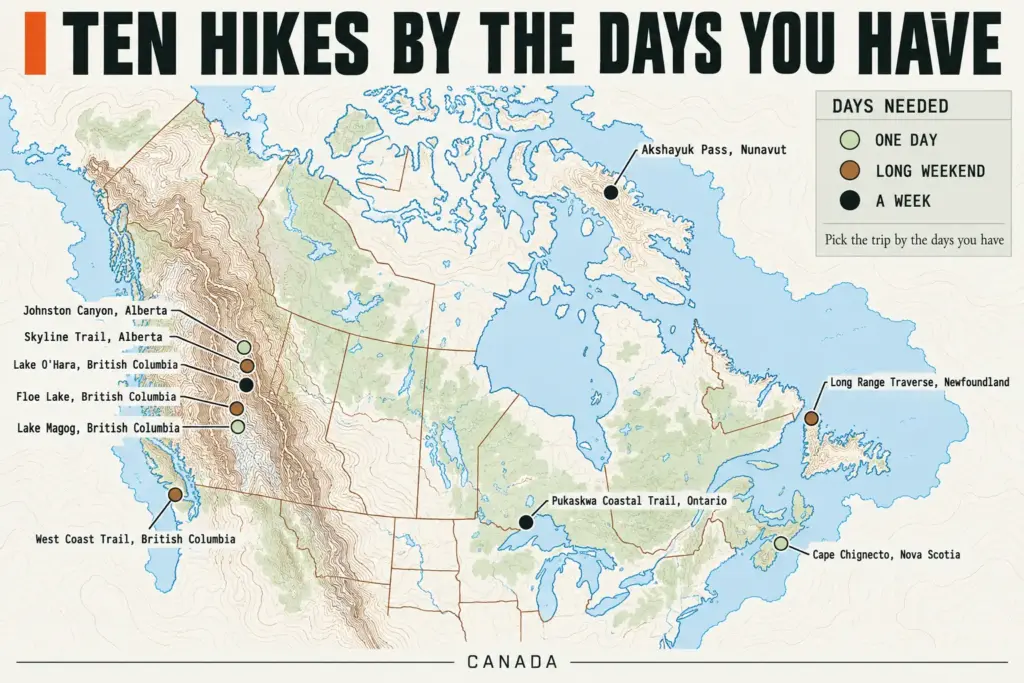
On the best-known routes in the Rockies, your hiking date gets decided in February, months before anyone looks at a forecast. Lake O’Hara camping reservations opened on February 10 for the 2026 season, and the day-use shuttle seats went by random draw in March. A hike is easy to pick and hard to book, so this list sorts ten of them by the days you have instead of by a scenery ranking, and each one gets the same answers: what it is, what you have to book, how it goes wrong, and what to do about it. The ten run from the Rockies to both coasts, Ontario, Newfoundland and Nunavut, followed by the permit, season, bear and gear rules that decide whether the trip happens.
Best Hikes in Canada If You Have One Day
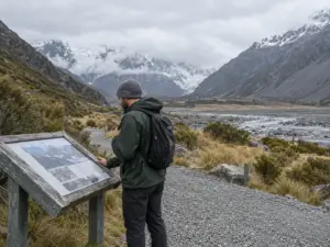
A single day hike covers more of Canada than most itineraries admit, as long as the logistics are settled before the alarm goes off. Of the three hikes below, one asks only for the right footwear, one asks for a shuttle seat that was handed out by lottery months ago, and one asks you to be walking by sunrise.
Johnston Canyon in Banff National Park
Johnston Canyon is the easiest of the ten to fit around a day with other plans. The round trip to the Upper Falls is about 5 to 6 km, and adding the Ink Pots roughly doubles that, so budget half a day either way. Nothing needs booking. The variable is the season: in winter the path is packed snow and ice, and a path that feels like a sidewalk in July turns into a skating rink. Traction solves it, and Kahtoola MICROspikes are the standard answer. If you can’t tell whether a path like this calls for spikes or full crampons, this breakdown of what microspikes and crampons are each built for settles it in a few minutes.
Lake O’Hara in Yoho National Park
Lake O’Hara works as a day trip only if you hold a seat on the day-use shuttle. A shuttle reservation is valid from mid-June to early October, and the seats are given by random draw. For the 2026 season, applications ran March 2 to 23. Decide in July that you want to go, and the season has already been allocated. Apply in the March window, or look at camping, where reservations for 2026 opened February 10 at 8 am Mountain Time. These dates move from year to year, so check Parks Canada for the next season before you plan around them.
Floe Lake in Kootenay National Park
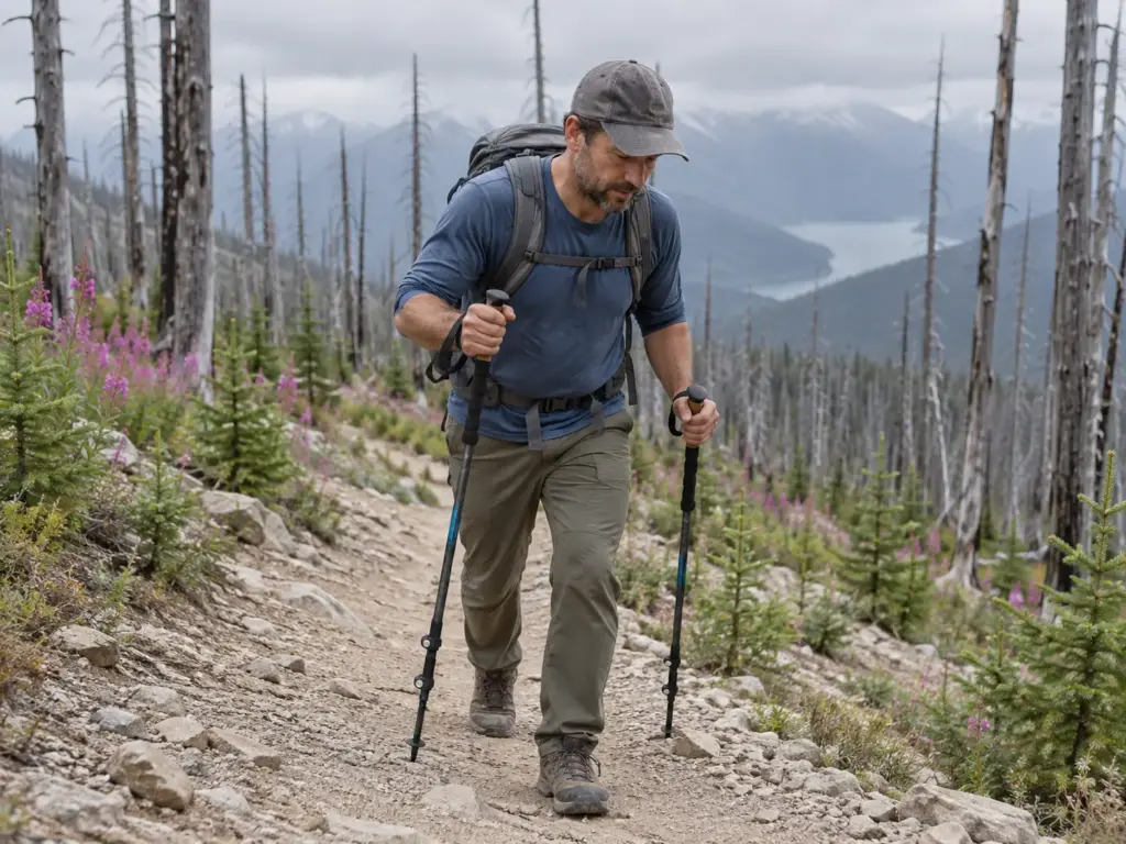
Floe Lake is a full day: 20 km round trip, 770 m of elevation gain, and 7 to 9 hours once you add a stop at the lake. The trail crosses a burn zone from 2003, where the fire left black trunks standing and almost no shade. Those trunks open up the views and give no cover from the midday sun. Start early, carry more water than the forest suggests, and plan an hour at the lake, because the climb is the part that wears you down. The long descent is hard on knees, and hiking poles take load off them. The Cascade Trekking Poles (Ultra Light 100% Carbon Fiber) weigh little enough that you won’t resent them on the way up.
Set a turnaround time at the trailhead and treat it like a permit. On an out-and-back with a lake at the end, everyone talks themselves into ten more minutes, and the descent is where those minutes come due.
Best Hikes in Canada for a Long Weekend
A weekend hike in Canada gives you two to four days, and the drive eats the first one if you let it. These four routes fit that window, and each is decided by a single line: a permit, a season, a missing trail, or a walk in that is longer than the reward looks like it deserves. The first two sit in the Rockies. The other two are on the Atlantic side, where the calendar is set by bugs instead of snow.
Skyline Trail in Jasper National Park
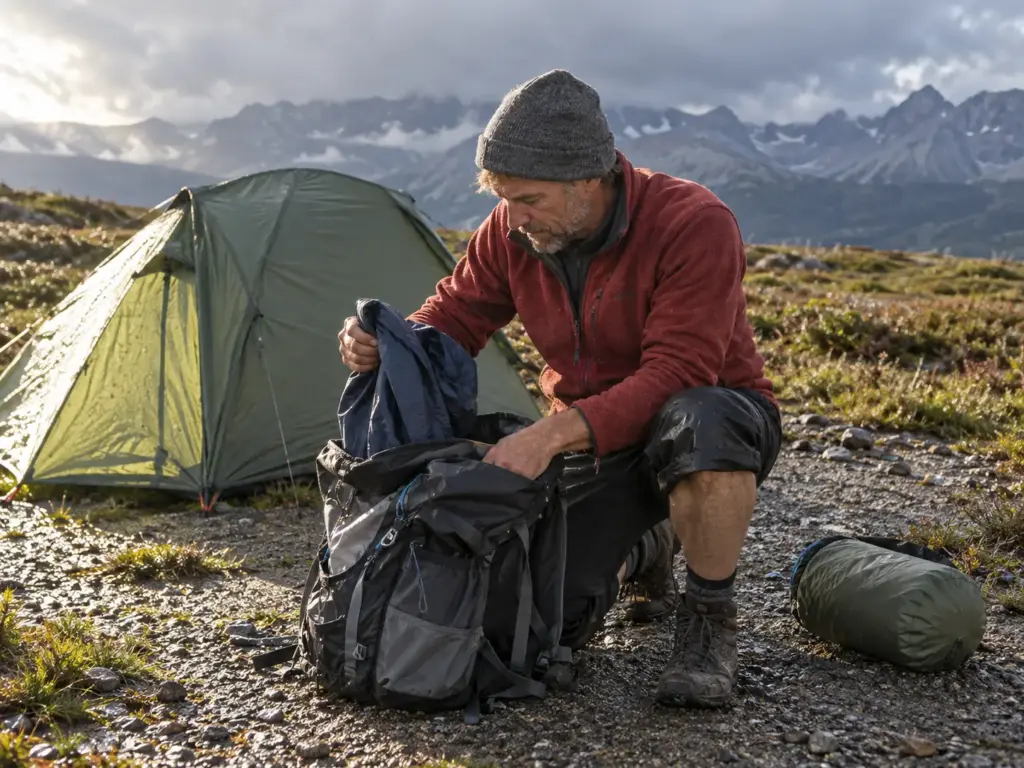
The Skyline Trail in Jasper National Park is a one-way route of 44.5 km that takes 2 to 4 days, with about 1,205 m of climbing. Roughly two thirds of it is above treeline, and the last few kilometers finish on a fire road. The window runs from mid-to-late July to mid-to-late September, and a permit is required.
Above treeline there is nowhere to hide from weather, so pack as if the Jasper forecast could contain all four seasons in one afternoon. Shovel Pass Lodge sits about halfway, which is worth planning a lighter pack around, but confirm what it offers for your dates before you count on it.
Lake Magog in Mount Assiniboine Provincial Park
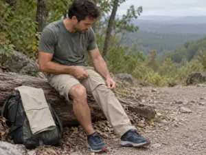
Lake Magog is 25 to 30 km one way, open July to September, and needs a permit. Most people start from the Mt. Shark trailhead, while the prettiest way in runs via Sunshine Meadows. The mistake here is planning a single night: you walk all that way, sleep once and walk out, and the reward at the end gets a single evening of your attention. Stay two nights instead, in the Naiset Huts or at Assiniboine Lodge if you’d rather not camp, and use the middle day for Wonder Pass or the Nublet.
Cape Chignecto Coastal Trail in Nova Scotia
The Cape Chignecto Coastal Trail is 52 km and usually walked as a 3-day loop along the Bay of Fundy, past red cliffs and through a fog forest. Summer brings bugs, and some sections can be overgrown, so September or October is the better call. If tents and insects both put you off, a wilderness cabin sleeps 4 to 6 and makes the trip a different proposition.
Long Range Traverse in Gros Morne National Park
The Long Range Traverse is 35 km one way over 2 to 5 days, and it has no marked trail. That single fact shapes everything else. You attend an orientation the day before you start, which is how you get the backcountry permit, and the route runs July to September, with later in the season meaning fewer bugs. Caribou, moose and black bears share the ground.
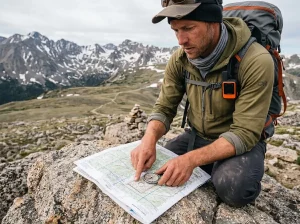
GPS and a navigation app help, but they shouldn’t be the only plan. Carry head nets and a bug jacket, and aim for the later end of the window.
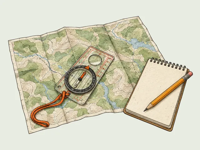
On a route with no marked trail, the day-before orientation is the most useful hour of the trip. Bring a pen, ask what the ground looks like between each landmark, and write the answers on your map.
Best Hikes in Canada If You Have a Week
These three multi-day backpacking routes need five to eight days, and for each one a single decision turns the plan into an actual trip: which direction to walk, how far to get from the road, or how many spare days to build in.
West Coast Trail on Vancouver Island
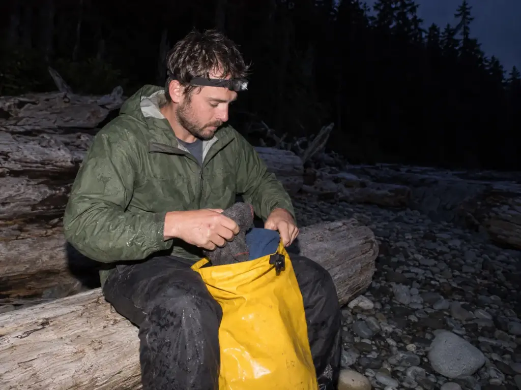
The West Coast Trail runs through Pacific Rim National Park Reserve on Vancouver Island, 75 km one way, and takes 6 to 8 days. A permit is required, and the trail is open from May, though July to September is the usual window. You can walk it in either direction, starting at Port Renfrew or at Bamfield, and that is the choice people make too fast. Weigh the two start points against your ferry, your drive and your legs before you book anything.
Expect ladders, suspension bridges and beach camps. Bring a little cash too, because the crab stop at Nitinat Narrows takes it. If you’re stringing campsites together around the trip, these mistakes that cost people campsites on Vancouver Island are worth a read first.
Put the crab money in a zip bag with your permit paperwork. Cash that lives in a pocket at the bottom of a wet pack is cash you’ll discover is soaked at exactly the wrong moment.
Coastal Trail in Pukaskwa National Park
The Coastal Trail in Pukaskwa National Park is 60 km one way over 5 to 6 days, with beach camps along Lake Superior. A boat takes you to the far end, and you walk back. A permit is required, and the trailhead is about a 12-hour drive from Toronto or 5 hours from Thunder Bay, so the road is a real part of the budget.
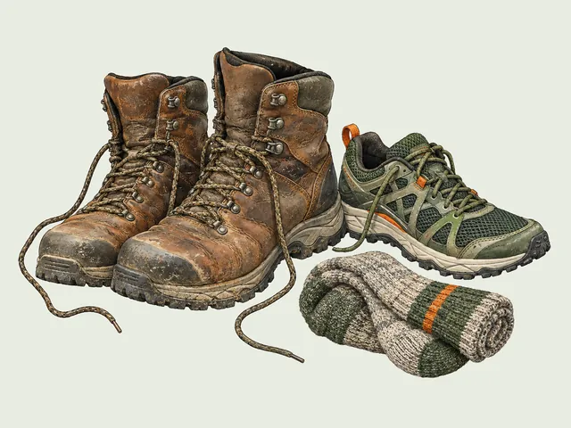
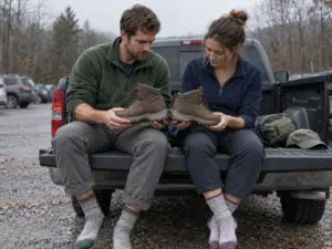
Bugs are worst in summer; late August into September is the better bet. Break in your boots well ahead of time and bring poles, because six days of beach and boulder will find any weakness in your footwear.
Akshayuk Pass in Auyuittuq National Park
Parks Canada lists the Akshayuk Pass as a 97 km corridor in Nunavut. The southern section, from Overlord to Summit Lake, takes 5 to 6 days, and the full route about 8. The season runs July to August and a permit is required. You’ll pass Mount Thor, and you’ll cross rivers, which is where the plan tends to break.
Weather and river crossings can both change the calendar, so build slack days into the schedule and contact Parks Canada early. With a heavy pack and no easy way out, this is the one route of the ten where spare days are not optional.
What Hiking Outside the Rockies Really Costs You
The Rockies are the easy part of hiking in Canada, with highway access and established trailheads. Step off that map and the trail difficulty label tells you little, because the cost shifts from effort to logistics: the trailhead you can’t reach by lunch, the bugs that set your dates, and ground with no trail on it.
Getting There Is Part of the Hike
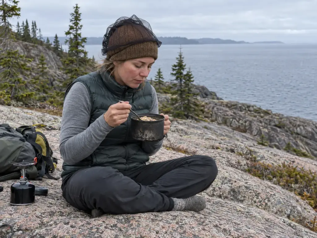
Outside the Rockies, the first stretch of the trip is often the travel. Cape Chignecto and the Long Range Traverse in Gros Morne both mean going well beyond the usual tourist stops, and Akshayuk is a remote corridor in Nunavut where the access itself is part of the planning.
Pukaskwa makes the point best. Its trailhead is about a 12-hour drive from Toronto or 5 hours from Thunder Bay, and the trail begins with a boat ride. Add that to a 60 km walk and a permit, and the week of leave you were holding is already spoken for before you reach the first beach.
Bugs, Boats and Unmarked Ground
Bugs set the calendar in Ontario, Nova Scotia and Newfoundland. September is the answer for Pukaskwa and Cape Chignecto, and the Long Range Traverse rewards waiting even longer. Gros Morne has no marked trail, and Akshayuk comes with river crossings. Here is how the main costs stack up, with the Rockies routes in Jasper and Assiniboine as the easy baseline.
| Trail | What costs you | How to handle it |
|---|---|---|
| West Coast Trail | Choosing a direction too fast; no cash at Nitinat Narrows | Weigh Port Renfrew against Bamfield; carry some cash |
| Cape Chignecto | Summer bugs; overgrown sections | Go in September or October; book the cabin |
| Long Range Traverse | No marked trail; early-season bugs | Go later; head nets; navigation backup |
| Pukaskwa Coastal Trail | Long drive; boat start; summer bugs | Late August to September; broken-in boots |
| Akshayuk Pass | Remote; river crossings; weather | Slack days; contact Parks Canada early |
| Skyline (Jasper) and Lake Magog | Weather above treeline; a long walk in | Layers; a second night at Magog |
Permits and Booking Windows for Hikes in Canada
The booking clock decides most of these trips before the weather does. The calendar reminder nobody sets is the one in February, and by summer the choices have already been made for you.
Draws and Early Reservation Windows
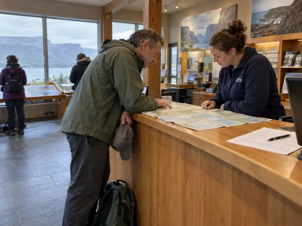
Lake O’Hara is the clearest case. Day-use shuttle seats go by random draw, and for 2026 applications ran March 2 to 23, with day-use reservations covering mid-June to early October. Camping reservations opened February 10, 2026 at 8 am Mountain Time. The dates move, so Parks Canada’s own Lake O’Hara page is where to confirm the next season.
If you want to see how far a booking calendar can shape an entire trek, the walkthrough of the O Circuit in Patagonia shows that pattern played out on another continent.
Set the reminder for the day before a draw closes, not the day it opens. The Lake O’Hara window ran three weeks, which is long enough to forget something you have already decided to do.
Orientations and Permits Beyond the Rockies
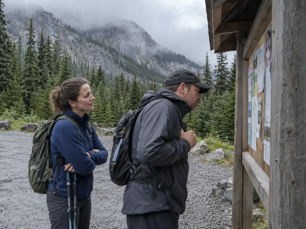
Outside the big-name draws, the rules vary by trail. The Long Range Traverse requires an orientation the day before you start, and that session is how the backcountry permit gets issued. Permits are required on the West Coast Trail, the Pukaskwa Coastal Trail, the Skyline Trail in Jasper National Park and Mount Assiniboine Provincial Park. For Akshayuk, contact Parks Canada early.
Each park runs its own system, and a useful overview of how park booking systems differ around the world can save you from assuming that one portal covers all of them.
When to Hike in Canada Without Bugs or Snow
The usual advice, go in July, holds up for the Rockies. Once you leave them, the right month changes by trail, and guessing costs you either a week of insects or a pass that still holds snow.
The July to September Window
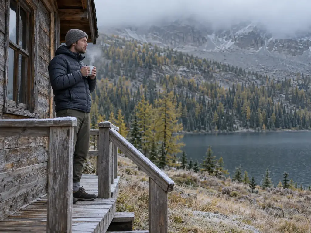
The core hiking season runs July to September. Skyline in Jasper National Park opens from mid-to-late July and closes in mid-to-late September, Akshayuk is a July and August route, and the West Coast Trail runs July to September even though it opens in May. In the high country, June can still mean mud and snow.
September brings larch season and fall colour to the Rockies, which is the best reason to treat the month after peak summer as its own season. This look at why shoulder-season hiking beats peak summer makes the case for the later dates.
Bug Season and the Late-Season Fix
Insects set the dates in the east and north. Late August to September is the Pukaskwa window, September and October suit Cape Chignecto, and the Long Range Traverse is better later still. Where the dates can’t move, head nets and a bug jacket are the fallback. For a clearer view of what works and what doesn’t against mosquitoes, compare Thermacell and bug spray before you pick one for a long coastal week.
Bear Safety on Canadian Trails
Plenty of Canadian trailheads post a bear sign, and the sign is not decoration. The grizzly bear and the black bear both live in the Rockies, and Gros Morne adds black bears along with caribou and moose. What you carry and how you store food are the two choices that actually change an encounter.
Bear Spray You Can Reach
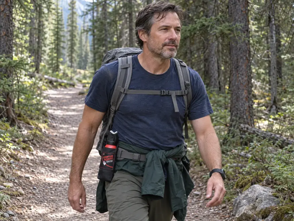
Bear spray does nothing from the bottom of your pack. It has to be on your hip or your chest strap, where your hand finds it without thinking. The Counter Assault Bear Spray Combo comes as an 8.1 oz and a 10.2 oz can with two belt holsters, so a pair of hikers can each carry one. For what to do once a bear has actually seen you, this comparison of black bear and grizzly encounters lays out the difference, and the numbers on holster placement and reaction time show why where the can sits matters.
Food Storage on Overnight Trips
On the overnight routes (Skyline in Jasper National Park, Floe Lake, Lake Magog and Akshayuk), food goes in a bear-resistant container wherever the park’s rules call for one. The BearVault BV500 Journey is a hard-sided canister with room for a long trip’s food. If you’re deciding between a canister and a bag, this look at bear canisters versus bear-resistant bags covers the weight and rules trade-offs. In national parks, dogs stay on a leash.
What to Carry on Remote Canadian Trails
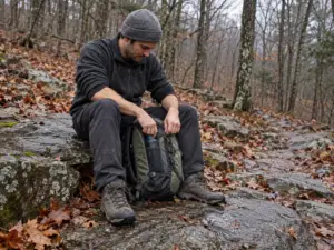
The forecast at the trailhead was right, and by the first ridge it had stopped mattering. Weather on these routes changes faster than the report does, and there is rarely a signal to check it again.
Layers for Fast-Changing Weather
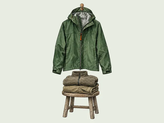
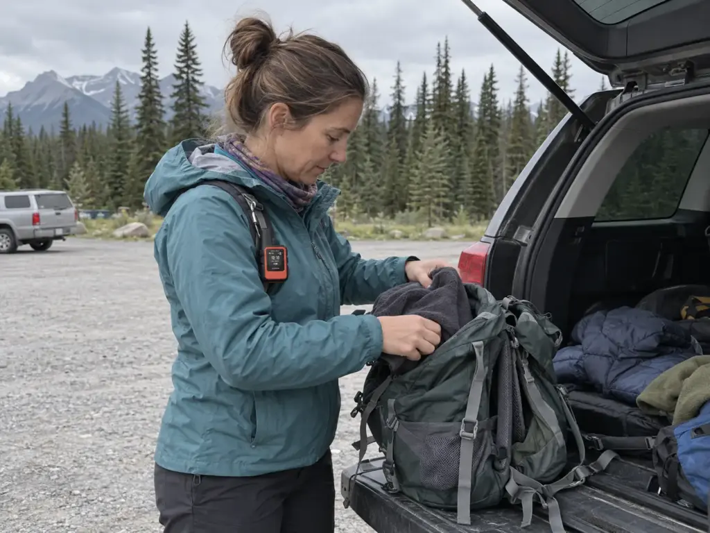
Think in three layers: a base layer next to the skin, a mid layer for warmth, and a waterproof shell on top. That system matters most on Skyline in Jasper National Park, where weather above treeline has nowhere to go, and on Assiniboine’s cold mornings. Run through the 10 essentials before every trip, and read the Parks Canada trail reports for your route before you drive out.
Pack the shell where you can reach it without opening the main compartment. When the wind turns on a ridge, you want the jacket on in thirty seconds, not after you’ve emptied your pack on wet ground.
A Satellite Messenger for Remote Routes
Akshayuk, the Long Range Traverse and the far end of Pukaskwa have no cell signal. A satellite messenger is the one way to ask for help from there, and the Garmin inReach Mini 2 packs two-way messaging and an SOS button into a device small enough to clip to a shoulder strap. For help choosing between that kind of device and a personal locator beacon, satellite messengers and PLBs compared lays out the differences.
Frequently Asked Questions
01What is the most beautiful hike in Canada?
No single hike wins because the best one depends on the days you have, but Floe Lake in Kootenay National Park is a strong pick for one day with no lottery to win. With a week, the West Coast Trail on Vancouver Island offers the most varied coast.
02What is the best month to hike in the Canadian Rockies?
Mid-July to September is the best window for the Canadian Rockies, with September adding larches and fall colour on top. The Skyline Trail in Jasper National Park runs from mid-to-late July to mid-to-late September. June can still bring mud and snow at higher elevations.
03What is the prettiest national park in Canada for hiking?
It depends on the region you want, but in the Rockies Banff, Jasper, Yoho and Kootenay are the standouts. Away from the Rockies, Gros Morne, Pukaskwa and Auyuittuq each reward the extra travel with trails that feel far from anywhere.
04Do you need a permit to hike in Canada?
Day trips often need no permit, but overnight routes do, and a few trails add extra steps before you can go. Lake O’Hara day use goes through a draw, and the Long Range Traverse requires an orientation the day before you start. Check Parks Canada for the current rules on your route.
Choose the Dates First, Then the Trail
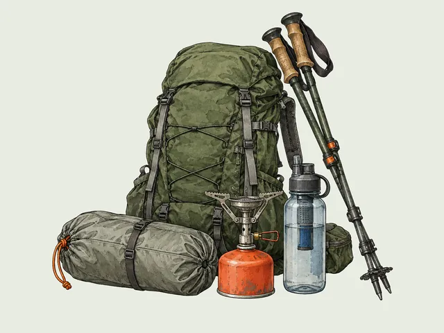
Start with the days you can actually take off, because that number picks the trail for you. Then find the booking date for that trail and put it on the calendar: Lake O’Hara and the Rockies camping windows open early in the year, and the Long Range Traverse needs an orientation the day before. Traction for winter ice, poles for long descents, bear spray within reach, a canister for the food and a satellite messenger for the empty miles are the gear that earns its weight on these routes. The rest is picking the month that keeps the bugs and the snow out of your way.
I've spent more than a decade researching hiking gear and trail technique. I read the specs, the forum threads and the long-term reviews, and every pick here comes with what it gets wrong.
End of the trail
You read every mile of this one. Here's where the trail goes next.