In this article
You drove two hours for a Vermont summit and pulled into the trailhead parking lot at 9:30 on a foliage Saturday, and there was nowhere to park. Or you picked a trail your app rated Hard, and found out somewhere above the last switchback that “hard” meant something completely different from the last Hard trail you did.
Both problems are avoidable, and neither one shows up in most lists. Vermont State Parks says outright, in its own trailhead alert, that the Camel’s Hump lots fill; the Green Mountain Club has maintained the footpath connecting all five of the state’s 4,000-footers since 1910. This list sorts the best hikes in Vermont by the two things that actually decide your day: what kind of hard the trail is, and what the trailhead does to you before you take a single step.
What “Hard” Actually Means on a Vermont Trail
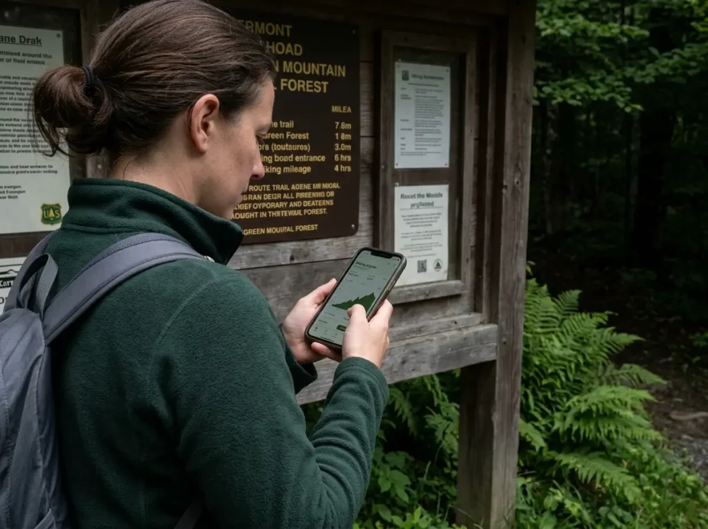
Every hiker has had the moment. The app said Hard, you packed for Hard, and the trail handed you a kind of hard you were not carrying gear for. The whole easy moderate hard scale collapses three very different days into three words, and in Vermont that breaks down fast, because the state has two completely different flavors of difficult mountain and one word covering both.
Take Killington Peak via the Bucklin Trail. It is 7.5 miles out and back, rated Hard everywhere you look. The first two miles are gentle enough that you wonder what the fuss is about.
Then it turns and stays turned, a sustained steep push on old ski-trail and woods-road tread to the summit. Nothing about it is technical. It is a long uphill walk that hurts.
Now take the Long Trail approach to Mount Mansfield from the east side. Roughly 2.3 miles one way for about 2,800 feet of gain, with real exposure and hand-on-rock scrambling near the summit ridge. Also Hard. Completely different day, completely different failure modes.
Mileage does not sort them for you either. The Killington Peak loop trail runs 4.8 miles with 1,745 feet of gain, much shorter than Bucklin, and hikers describe it as technical in sections, full of rocks and roots with poorly marked stretches. Shorter, steeper per mile, and a different kind of hard than the longer route up the same mountain. The two axes are independent, and once you see that, most Vermont trail descriptions start making sense.
Hard Because It’s Long and Steep
Grade and duration. Sustained uphill on tread that stays walkable, usually old ski runs, woods roads, or built footpath with steps cut into it. Your hands stay in your pockets the whole way. What it costs you is time, water, and quads, and the failure is a timing mistake rather than a technique mistake: you budget for the mileage, forget that half of it is climbing, and end up descending in the dark on legs that stopped cooperating an hour ago.
Hard Because It’s Technical and Exposed
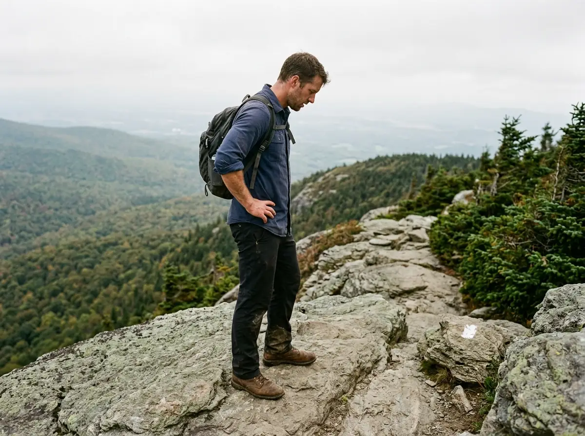
Rock. Scrambling, ledges, ladders bolted into the mountain, stretches where the trail stops being a trail and becomes a route up a rock face. Above treeline the weather stops being background and becomes the main variable.
What it costs you is footwear, hands, and turnaround judgment. Wet rock on a scramble is a different animal than wet rock on a walking trail. The Green Mountains are not the Rockies, but a slick ledge at 4,000 feet with a two-hour descent below you earns the same respect.
How to Tell Which One You’re Looking At Before You Drive
Divide elevation gain by one-way mileage. That single number tells you more than the rating word does. Anything over about 800 feet per mile is going to feel steep no matter how it is built. Mansfield’s east-side Long Trail approach comes out over 1,200 feet per mile, which is why it feels harder than its 2.3 miles suggests.
Then read the actual route description, not the rating. The exposure tells are specific words: ledges, ladders, scramble, above treeline, hand over hand. If none of those words appear, you are looking at a cardio day. If two or three of them show up, pack accordingly and check the forecast twice.
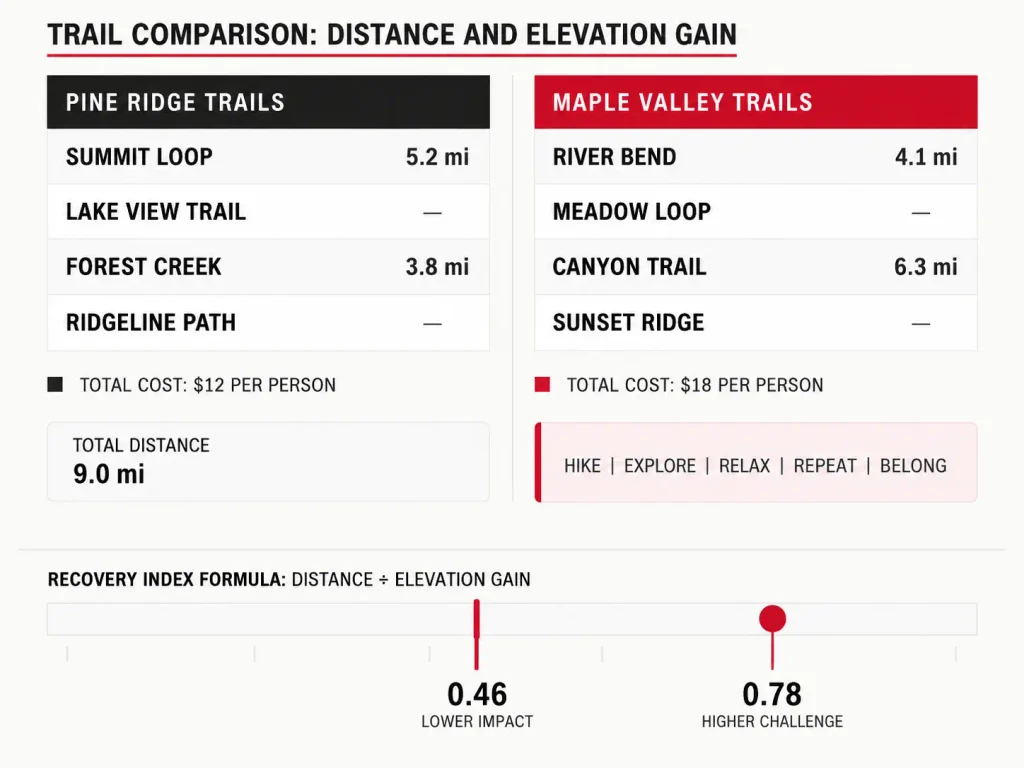
Check the route, not the rating word. It is the same lesson that shows up whenever one mountain can honestly have two different difficulty answers depending on which trail you take up it.
The Five High Peaks Every Vermont Hike List Is Built Around
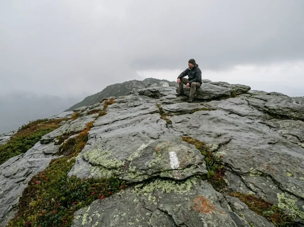
Vermont has five mountains over 4,000 feet, and every list of Vermont hiking trails orbits them. The Northeast hiking community calls them the 4,000-footers, an implicit checklist sitting next to the New Hampshire 48 in the White Mountains and the Adirondack 46. Worth grounding immediately, though: two are genuine trophies, one has a road and a gondola on it, and that difference matters more than the elevation numbers do.
The five are Mount Mansfield, Killington Peak, Camel’s Hump, Mount Ellen, and Mount Abraham, and the Long Trail connects all of them. That footpath runs 263.3 miles end to end with 66,617 feet of cumulative gain, according to the Green Mountain Club, which maintains the Long Trail end to end. A day hiker walking the last mile to the Mansfield summit is sampling a very small slice of something much bigger.
Pull up a Long Trail map and the day hikes in this article are short segments of a backpacking route, strung with lean-to shelter sites and tent platform camping for the people walking the whole thing. Plenty of Vermont hikers get there by section hiking it a weekend at a time. Hikers who link the Mansfield and Camel’s Hump summits in one roughly 30-mile push call it the ManHump, or Camelsfield, depending on who you ask.
Vermont’s peaks do not exist in isolation either. Stand on Camel’s Hump on a clear day and you are looking straight across Lake Champlain at the Adirondacks. Plan a Vermont trip the way you would plan any Northeast mountain trip, because the same trip-planning logic that works across the Northeast’s other big preserves applies here: know your parking window, know your bail-out, know what the weather does at elevation.
Mount Mansfield: Vermont’s Highest, and Its Most Misjudged
At 4,393 feet, Mansfield is the state high point, and the summit ridge is shaped like a face lying on its back. Hikers use the anatomy as landmarks: the Nose, the Chin, the Forehead. The Chin is the true summit.
What people misjudge is that the approaches differ far more than the summit does. The Sunset Ridge Trail gives you long open views and exposure for the last stretch; the Laura Cowles Trail is shorter, steeper, and stays in the trees longer before handing you the same ridge; the Long Trail from the east is the steep one by the numbers. Three different days, one difficulty rating. Tag it technical and exposed near the top no matter which way you come at it.
Camel’s Hump: The One With Nothing on Top
Camel’s Hump is 4,083 feet and third-highest, and it is the highest undeveloped peak in Vermont. No road. No lift. No snack bar.
Nothing at the top but rock and whatever the wind is doing.
That absence is the entire selling point. Mansfield has an auto road; Killington has a gondola. Camel’s Hump makes you earn every foot, which is why it is the one that stays in people’s memories years later.
The Burrows Trail and the Monroe Trail are the standard approaches, both steep, both ending in a short alpine finish, and both with a parking lot problem serious enough that it gets its own section below.
Killington, Ellen, and Abraham: The Rest of the Five
Killington Peak is the cardio-hard example from the framework above: long, steep, non-technical on the Bucklin approach, and a ski resort at the top. Mount Abraham is the short one with the biggest payoff per mile, a real but manageable climb on the Battell Trail ending on genuinely alpine ground. Mount Ellen is the quiet one, second-highest in Vermont and almost never discussed, because the summit is wooded and the views are limited.
If you are collecting the five, do Ellen on the worst-forecast day of your trip. The summit is wooded, so a socked-in sky costs you nothing there, and it saves your clear day for Mansfield or Camel’s Hump where the view is the entire point.
Best Vermont Hikes That Are Long and Steep, Not Technical
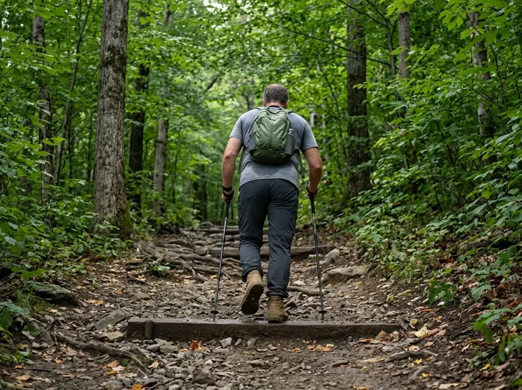
These are the hikes you can take a fit friend on who owns exactly one pair of trail shoes and has never put a hand on rock. The trail will hurt them. It will never scare them. That distinction is worth a lot when you are picking a hike for a group with mixed nerve.
What makes these feel harder than the map suggests is the lack of recovery. Green Mountain climbs rarely give you the PUDs, the pointless ups and downs, that let your legs reset on a long ridge walk. It is up, then more up, then the summit. Your heart rate never gets a break, which is why a 7.5-mile hike can wreck someone who walks 7.5 miles a week without thinking about it.
Killington Peak via the Bucklin Trail
The type specimen. Two gentle miles along Brewers Brook that lull you completely, then a sustained steep climb to the summit ridge on old ski-adjacent tread. Seven and a half miles round trip, walking upright the entire time. Budget more time than the mileage suggests and carry more water than you think, because the steep half catches afternoon sun and there is no meaningful water source after the brook.
Mount Stratton and the Fire Tower Payoff
Stratton is a long, steady climb where the Long Trail and the Appalachian Trail run together as one ridge trail. The summit is wooded, which sounds like a letdown until you climb the fire tower and get the 360-degree scenic overlook over southern Vermont that the summit itself refuses to hand you.
That is the standard trade on wooded New England summits, and it is why fire towers turn a wooded summit into a real viewpoint instead of a clearing with a sign. Check the tower is open before you count on it. Some are seasonal, some are under repair, and finding out at the top is a bad way to find out.
Mount Equinox and Mount Ascutney
Mount Equinox out of Manchester is a big sustained gain in the Taconic Mountains on the western side of the state, with one wrinkle: a toll road runs to the top, so a non-hiking partner can meet you at the summit. Mount Ascutney is a monadnock, a lone mountain sitting away from the ranges, with several approach trails and a summit road. Gain without exposure, plus a hang glider launch at the top worth timing your visit around.
Best Vermont Hikes That Are Technical or Exposed
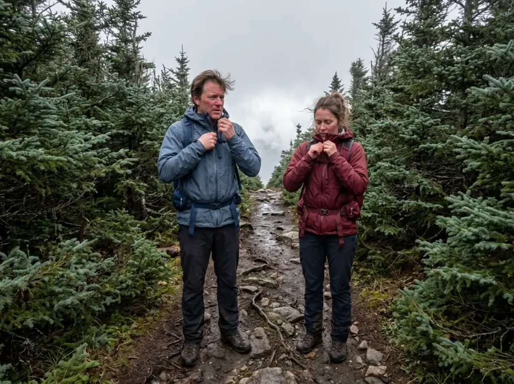
Here the weather report matters more than your fitness does. On a Vermont summit hike of this kind the top is often not the hardest part; the ridge is, or the last quarter mile of ledges is, or the descent on wet rock at 4 PM is. Pack for that reality and these become some of the best days you will have in New England.
Mount Mansfield’s Ridge and the Chin
Mansfield via Sunset Ridge or the east-side Long Trail approach is the flagship. Roughly 2,800 feet of gain in under 3.5 miles one way, with the last stretch out in the open and scrambling near the Chin. Sticky rubber matters here, and so does having both hands free.
The ridge is where Vermont hiking gets genuinely alpine in feel. Bare rock, wind with nothing to slow it down, and a temperature drop you notice from what it was at the trailhead. That is not a complaint. That is the reason people come.
Mount Abraham and Mount Pisgah
Abraham is the short technical option, a rocky final push onto a true alpine summit. The top is small enough that on a busy Saturday you share a few square yards of rock with a dozen strangers, all of you carefully not stepping on the plants.
Mount Pisgah above Lake Willoughby, up in the Northeast Kingdom, is the one that surprises people. Instead of a summit view you get cliff-edge overlooks staring straight down into the Willoughby Gap, where the lake sits pinched between Pisgah and Mount Hor. The exposure is the whole experience, and the overlooks have no railings. Hold onto small children up there, and mean it.
When to Turn Around on an Exposed Vermont Summit
Three triggers, none of them negotiable once they show up. Weather building above treeline is the first, and the correct response is to head down before you are certain, not after. Knowing what to do when a storm builds while you’re above treeline beforehand is worth more than any gear you can buy.
Wet rock is the second. A scramble you cruised on the way up becomes a real problem coming down in the rain, and descending is when most falls happen. Daylight is the third: technical terrain slows your descent far more than it slows your ascent, which is the opposite of what people instinctively budget for.
The seasonal version matters too. Official guidance flags that snow can sit at the Camel’s Hump summit long after it has melted at the trailhead. In May, a trailhead in shorts weather and a summit with ice on the rock is a normal Vermont combination, not a freak event. That is the window where trekking poles stop being optional on the descent, and where deeper north-facing drifts can still call for snowshoes well after the valley has dried out.
The Parking Problem Nobody Warns You About
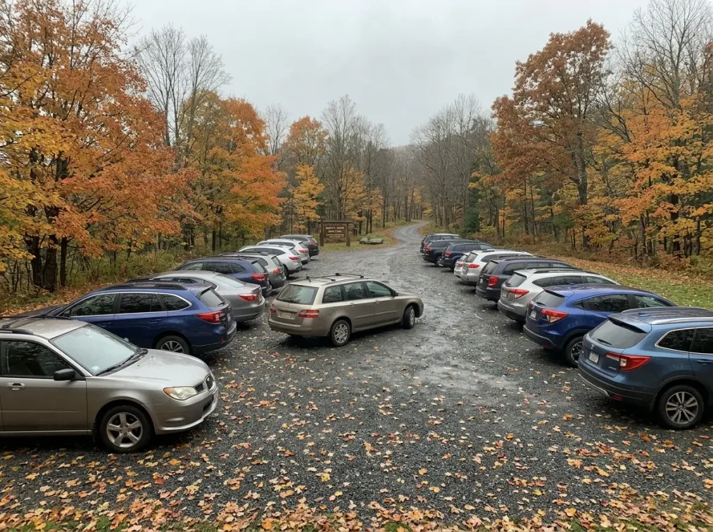
The most common way a Vermont hiking day dies is not on the trail. It is at 9:30 in a full lot with a two-hour drive behind you, watching a line of cars do slow loops looking for a spot that does not exist. Not one of the big Vermont hiking lists mentions this. The state itself does.
Which Trailheads Fill, and When
Vermont State Parks’ own trailhead alerts for Camel’s Hump say the Burrows and Monroe lots “often fill up during summer days,” and tell visitors to have a backup hike planned before they leave. That is an agency writing about its own flagship peak, which is about as honest as a state park gets.
The pattern extends past summer. Fall foliage compounds everything, especially in the last week of September, when Vermont’s trailheads absorb leaf-peeping traffic on top of normal hiker traffic. The big peaks handle crowds better than small pull-off trailheads simply because they have more lot to fill, but “better” still means full by mid-morning on a bluebird Saturday.
The 8 AM Rule and the Backup-Hike Habit
The state’s own stated threshold is 8 AM on a good-weather weekend if you want to guarantee a spot at Camel’s Hump. Not “early.” Eight. That number does a lot of work, because it converts a vague worry into an alarm setting.
The second half of the habit matters just as much: pick your backup hike before you leave the house, and make it a genuinely different hike, not the next trailhead down the same road. The quieter neighbor trick works in every crowded hiking region, and Vermont is full of quieter neighbors that nobody has photographed for Instagram yet.
The other option is skipping the fight entirely by shifting the whole trip off peak season. A Tuesday in early October on a Vermont summit is a different sport than a Saturday in late September, and the leaves do not know what day it is.
Do not wait it out. Every minute you spend circling a full lot is a minute you are not hiking, and the spot that opens at 10:15 belongs to someone who just finished a sunrise hike and is going home happy. Drive to the backup. You picked it for a reason.
Why Roadside Parking Is the Wrong Workaround
Roadside parking on Camel’s Hump Road in Huntington is a tow zone. Not a ticket, not a warning, a tow. The ordinance exists so emergency vehicles can get up a narrow mountain road, which means it gets enforced rather than ignored.
Think about how that day ends. You finish a hard 4,000-footer, walk back to the road on tired legs, and your car is in Richmond. There is no version of that story that ends well, and it is entirely avoidable by leaving 90 minutes earlier or driving to the second choice.
Mud Season, and Why the Closures Aren’t Optional
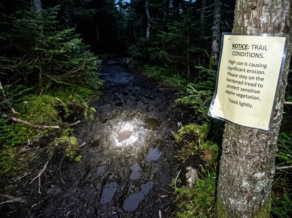
Mud season is the one Vermont hiking rule out-of-staters break by accident, because the trailhead looks completely fine. Dry dirt, green buds, birds doing bird things. The damage happens a thousand feet higher, where the soil is still thawing and holding water like a sponge.
Why the Dates Move Every Year
The window runs roughly late March or early April through Memorial Day weekend. That is the shape of it, not the rule. According to the Vermont Agency of Natural Resources’ mud-season guidance, high-elevation closures are set on a rolling weekly basis by how fast the snowpack is melting, not by a fixed calendar date.
So “mud season is April” is the wrong takeaway. Some years the high trails reopen before Memorial Day; some years they stay closed past it, with every water crossing running high off the same melt. Check trailfinder.info or the Green Mountain Club before you drive, every single time, because the answer changes week to week.
The same melt that closes trails also leaves snow and ice on north-facing upper slopes into May, which raises a gear question most people skip. Worth knowing whether your boots can take traction at all before you find out on a spring summit push with microspikes in your pack and no way to attach anything more serious.
What Postholing Actually Does to a Trail
Here is the mechanism, because nobody explains it and it is the whole reason the closures exist. Saturated soil at elevation has no structure. Your boot breaks through the surface, sinks, and pulls soil out with it when you step forward.
Now multiply that by a hundred hikers. The tread turns into a trench full of standing water, so the next hikers walk around the edges to keep their feet dry, and the trail gets wider. That widening is where trailside vegetation dies, and at elevation in Vermont the growing season is short enough that recovery takes years.
By the time you personally feel the postholing under your boots, you have already done the damage. That is the part that catches good people out.
Where to Hike Instead During the Closure
Vermont State Parks names actual alternates for the Camel’s Hump area rather than making you guess. Honey Hollow Road in Bolton, the forest roads around the Camel’s Hump area, and the CCC road at Underhill State Park all take spring foot traffic without falling apart, because they are hardened surfaces at lower elevation. The Green Mountain National Forest has more of the same: low hardwood forest roads that drain instead of holding water the way a saturated wetland margin does.
That is the general principle statewide: during the closure window, hike roads, rail trails, valley loops, and low-elevation state park trails. You lose the summit view for six weeks. You keep the trails intact for the other forty-six.
The tell that you are on ground that should not be walked on yet is sound, not sight. Dry-looking tread that squelches under the first ten steps is saturated underneath, and it will only get worse as you climb. Turn around there, not a mile higher when your boot disappears to the ankle.
The Alpine Zone Rule Vermont Hikers Take Seriously
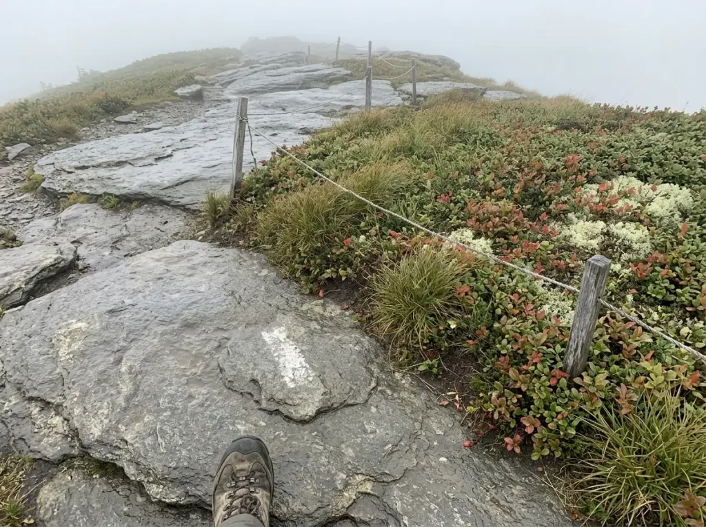
Walk up Mansfield or Camel’s Hump and somewhere near the top you cross a boundary you can physically see: white paint blazes on bare rock, and string strung low between them. Most hikers step over it without registering what it is. It is the edge of one of the smallest and rarest habitats in the Northeast.
How Little Alpine Zone Vermont Actually Has
The numbers are startling once you hear them. According to the Green Mountain Club, Vermont holds less than 125 acres of alpine tundra statewide. Roughly 110 acres of that sits on Mount Mansfield, about 10 acres on Camel’s Hump, and under a single acre on Mount Abraham. That is the entire alpine habitat of an entire state, and you can walk across most of it in an afternoon.
Eight alpine plant species living in those zones are listed as endangered or threatened in Vermont, per the Green Mountain Club. The plants you are walking near include Bigelow sedge, alpine bilberry, mountain sandwort, crowberry, mountain cranberry, and Labrador tea. These are not generic mountain wildflowers. Some of the cushions up there took decades to reach the size of a dinner plate, growing a few weeks a year in a climate that is trying to scour them off the rock.
What “The Rock Walk” Means in Practice
The community has a name for the technique: the rock walk. It means stepping only on exposed bedrock through the alpine zone, using the white blazes and string as your guide, and keeping your boots entirely off the soil and vegetation between them.
In practice that means slowing down and looking at your feet on the one part of the hike where you most want to be looking at the view. It also means not stepping aside to let someone pass, which feels rude and is actually correct. Wait on rock, let them come to you on rock, and take your group photo standing on rock.
That instinct does not stop at treeline. The same Leave No Trace thinking applies below treeline too, where the damage is less visible but the arithmetic of a hundred thousand hikers a year is exactly the same.
Dogs, Leashes, and the Summit
Vermont’s high peaks are dog country, and most of these routes qualify as a dog-friendly hike. The alpine zone is where that changes. The leash-above-treeline rule at Camel’s Hump is the state park’s own pet policy, not a suggestion, and the reason is the same 10 acres of habitat we just described.
A dog off leash on a summit does not read blazes and string. It reads open ground and other dogs. Leash up at the treeline transition, before the summit, and give yourself a hand free for the last scramble while you are at it.
Easier Vermont Hikes Worth the Drive
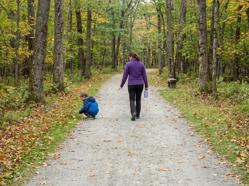
Sometimes a hike is just a nice walk. Vermont is full of trails that deliver a real Green Mountain view without a 4,000-foot summit attached, and nobody has to earn this state the hard way. The trick is matching the trail to your actual hiking level rather than to the level you imagine you will have by Saturday.
The Accessible Loop at Camel’s Hump
This one deserves more attention than it gets. Off the Monroe Trail side of Camel’s Hump there is an accessible loop of about 0.8 mile, wide and flat, with three viewpoints looking up toward the summit. Same famous mountain everyone else drove out for, without attempting the 4,000-footer.
As a family hike it is a legitimate first choice rather than a consolation prize: a genuine kid-friendly trail for a group with mixed mobility, or for anyone who wants a Vermont mountain day without a mountain day.
Mount Philo and Stowe Pinnacle
Mount Philo is the classic first Vermont summit. Short climb, enormous payoff, with Lake Champlain spread out below and the Adirondacks standing up on the far side. There is a road to the top, which some people use to hike one way and ride the other. That is allowed. Nobody is checking.
Stowe Pinnacle is the step up from Philo: a real climb at a manageable length, steep enough to feel like you did something, with a summit view over the Worcester Range and back toward Mansfield that punches well above its mileage. If you want to know whether you are ready for a 4,000-footer, Stowe Pinnacle is the honest test.
Vermont’s Waterfall Walks
The lowest-commitment option in the state, and often the best pick on a hot day. Bingham Falls near Stowe is a short steep scramble down to a gorge with swimming holes. Moss Glen Falls is a walk of a few hundred yards.
Lye Brook Falls near Manchester is the longest waterfall hike here at around 4.6 miles round trip, ending at one of the tallest cascades in Vermont. Hamilton Falls in Jamaica State Park is spectacular, and the rock above it is genuinely hazardous when wet, which local signage does not sugarcoat.
Waterfall walks are the most flexible thing on this list, which makes them the ideal way of sorting hikes by the day you actually have rather than the day you wish you had.
The framework travels, too. The same sorting logic runs across the state line in the Whites, where the two kinds of hard separate even more sharply, and west at New York’s own high-peaks list, which is literally the skyline you stare at all day from a Vermont summit.
Conclusion
Three questions decide your Vermont hike, and none of them is “which one is prettiest.” First, which kind of hard your legs and your nerve can take today, because long-and-steep and technical-and-exposed ask for different things. Second, what time you can realistically be parked, which is a harder question than it sounds when the answer is 8 AM and you live two hours away.
Third, what the calendar is doing to you: mud-season closures in spring, foliage crowds in late September, summit snow well outside of what looks like winter. Answer those three and pick your backup hike before you leave the house, every time.
Three things worth carrying out of this:
“Hard” in Vermont means two different things. Sort by which one before you sort by view.
The trailhead ends more Vermont hiking days than the trail does. Be parked by 8, and have a second hike ready.
The alpine zone on top of Mansfield, Camel’s Hump and Abraham is smaller than most neighborhoods. Stay on the rock.
Here is the thing to actually do with all this: pick one hike from the long-and-steep list and one from the technical list, and do them a month apart. The contrast will teach you more about your own hiking than any rating word ever will.
Frequently Asked Questions
01What is the hardest hike in Vermont?
Mount Mansfield’s Long Trail approach is the hardest technically: about 2,800 feet of gain in under 3.5 miles one way, with scrambling and exposure near the Chin. But it depends which kind of hard you mean, since Killington’s Bucklin grind carries the same rating word for completely different reasons.
02Which Vermont hikes are best for beginners?
Start with the 0.8-mile accessible loop off the Monroe Trail side of Camel’s Hump, Mount Philo, or a waterfall walk like Bingham Falls. You can hike a famous Vermont mountain without attempting its summit, and the views still count.
03When is mud season in Vermont, and are trails really closed?
Roughly late March or early April through Memorial Day weekend, and yes, high-elevation trails are genuinely closed. The real answer is that closures are set weekly by snowmelt pace, not by calendar date, so check trailfinder.info or the Green Mountain Club before you drive.
04What are the best hikes in Vermont for fall foliage?
Camel’s Hump, Stowe Pinnacle, Mount Philo and Mount Pisgah all deliver big foliage views. Parking decides the day more than the trail does: be at a major trailhead by 8 AM in late September, or pick a smaller trailhead and keep the crowd off your summit.
05What are the best hikes near Burlington, Vermont?
Mount Philo, Camel’s Hump via Burrows or Monroe, and Mount Mansfield from the Underhill side are the closest good options. That proximity is exactly why those lots fill first, so treat a Burlington-area trailhead as an early-start trailhead.
Risk Disclaimer: Hiking, trekking, backpacking, and all related outdoor activities involve inherent
risks which may result in serious injury, illness, or death. The information provided on The Hiking Tribe is for
educational and informational purposes only. While we strive for accuracy, information on trails, gear, techniques,
and safety is not a substitute for your own best judgment and thorough preparation. Trail conditions, weather, and
other environmental factors change rapidly and may differ from what is described on this site. Always check with
official sources like park services for the most current alerts and conditions. Never undertake a hike beyond your
abilities and always be prepared for the unexpected. By using this website, you agree that you are solely
responsible for your own safety. Any reliance you place on our content is strictly at your own risk, and you assume
all liability for your actions and decisions in the outdoors. The Hiking Tribe and its authors will not be held
liable for any injury, damage, or loss sustained in connection with the use of the information herein.
Affiliate Disclosure: We are a participant in the Amazon Services LLC Associates Program, an
affiliate advertising program designed to provide a means for us to earn advertising fees by advertising and linking
to Amazon.com. As an Amazon Associate, we earn from qualifying purchases. We are also an official affiliate partner
of Black Diamond Equipment via the AvantLink network. If you click on a Black Diamond affiliate link and make a
purchase, we may earn a commission at no additional cost to you. We also participate in other affiliate programs and
may receive a commission on products purchased through our links. Additional terms are found in the terms of
service.