In this article
You have a long weekend blocked off, twenty browser tabs open, and every list of the best hikes in New Hampshire ranks the same eight trails without ever telling you which one fits the three days you actually have. That’s the wrong question being answered. People who hike the White Mountain National Forest regularly don’t triage a trip by ranking; they triage it by time and by whether the summit forecast will let them go up at all. So this guide sorts the range that way, half day through full week, and then goes deep on the two things almost every other guide skims: the AMC hut system, and how to read Mount Washington’s weather before you commit above treeline.
What Makes the White Mountains Different From Every Other Northeast Range
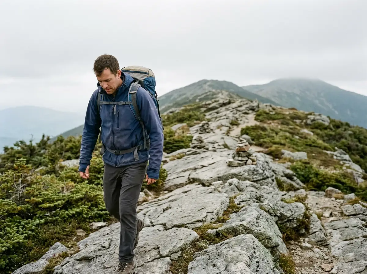
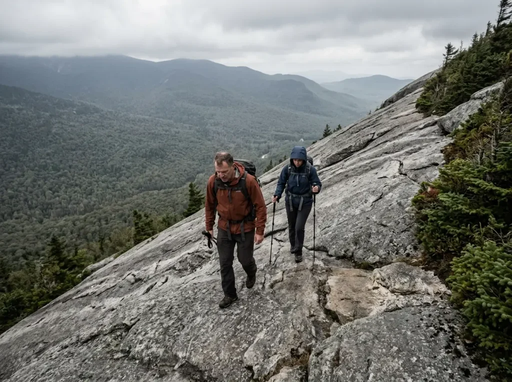
The mistake first-timers make here is assuming this is the Northeast they already know, scaled up a bit. It isn’t. Treeline in the Whites sits somewhere around 4,000 to 4,400 feet depending on the slope and how much wind it eats, which is low enough that an ordinary day hike walks you straight into the alpine zone and its alpine tundra of low scrub and bare rock. That’s the whole premise of this range: trails that read modest on paper put you fully exposed, with no trees to hide behind and nowhere to duck for an hour and a half.
If you’ve been hiking the Catskills and Adirondacks, the peak-bagging culture will feel familiar and the terrain will not.
Adirondack High Peaks trails are famously muddy and rooted.
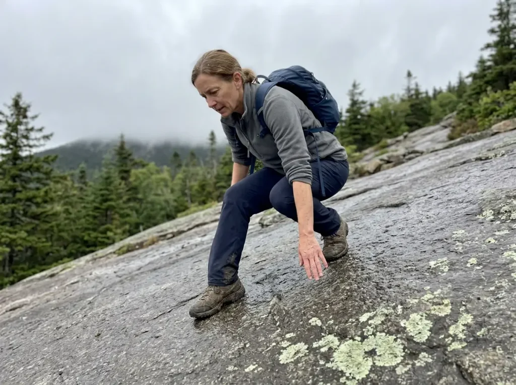
The Whites hand you granite slabs, long open sheets of rock slab tilted at an angle that feels fine going up and completely different going down. Wet granite with a film of pollen or algae on it is one of the more honest surprises in Northeast hiking. It doesn’t look slick. It just is.
Then there’s the weather, which is the range’s other defining fact. Mount Washington holds the 231 mph gust recorded on the summit in 1934, still the fastest surface wind ever directly observed by a staffed weather station anywhere on Earth.
The 253 mph global instrument record belongs to an automated station in Australia in 1996, which is a real distinction and also a very White Mountains kind of distinction: the number here was watched, logged, and survived by people sitting inside the building. That’s not marketing copy. It’s the physical reason this range gets its own decision rule, which we’ll get to in a dedicated section.
Every elevation number you read on a White Mountains trail page is doing double duty. It’s mileage AND it’s a weather forecast. Anything that tops out over about 4,000 feet is telling you that the last mile of your hike happens in whatever the summit is doing, not whatever the parking lot is doing.
You’ll also run into the local shorthand within about ten minutes of reading anything about this range, so here it is once. The Whites is the range. The Presidentials is the Presidential Range specifically, Washington and its neighbors, treated as its own proper noun. Above treeline means the exposed ridge terrain where the risk math changes.
And a 4,000-footer is one of the 48 New Hampshire peaks over 4,000 feet, the NH48 checklist that structures more repeat trips to this range than any guidebook does. Its gentler cousin is 52 With a View, a list of lower summits chosen purely for what you see from the top. The informal Terrifying 25 flags the hardest and most exposed of the bunch, and it’s a community list, not an official one.
Those lists matter more than they look. They’re why people come back to the Whites eleven times instead of once, and they’re the reason a trip here tends to have a second half you didn’t plan.
Best Half-Day Hikes in the White Mountains
Half-day picks in the Whites get apologized for a lot. They shouldn’t be. A short trail with a real view that you finish relaxed beats a 4,000-footer you have to bail off at 2pm because you started at eleven. If you’re sorting shorter Northeast trails by how much effort they actually ask for, the same logic applies here, just with more rock underfoot.
Artist’s Bluff is the best value in the range, full stop. It’s an under-two-mile loop trail out of Franconia Notch, steep enough in the middle to feel like a hike, and the payoff is a cliff overlook with panoramic views down the notch with Cannon Mountain across from you and Echo Lake underneath. Go early and you may have it to yourself.
Mount Willard is the other one that punches above its numbers. Three-ish miles round trip on an old carriage road grade out of Crawford Notch, gentle the entire way, ending at a cliff edge with the notch opening below you in a clean U. If you’ve seen a photo of Crawford Notch, you’ve probably seen this exact view. It’s also the single best trail here for someone who is nervous about whether they can hike in this range at all, because there’s no scrambling, no exposure to speak of, and no point where the trail asks you a hard question.
For waterfalls, Sabbaday Falls off the Kancamagus Highway and Glen Ellis Falls near Pinkham Notch are both short, well-built walks to genuinely good cascades. Sabbaday is barely a half mile of waterfall trail with a boardwalk section, which makes it a good out-and-back with kids or a dog. Neither is epic. They shouldn’t be sold as epic.
They’re a very pleasant forty minutes and they’re perfect when you have an afternoon and a stiff hamstring.
Flume Gorge gets the honest call: it’s a boardwalk attraction with a timed entry reservation and a separate admission, and it’s genuinely impressive if you have never walked a slot gorge before. If you have, skip it and put the two hours into Artist’s Bluff and a swim in the Basin instead. It’s the one place in Franconia Notch where you’re paying for infrastructure rather than terrain.
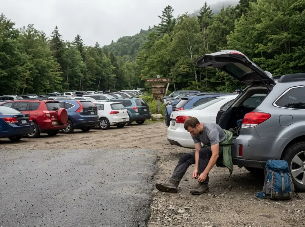
The actual constraint on a half-day plan isn’t the mileage. It’s parking.
The small lots serving these trails, and Artist’s Bluff in particular, fill by mid-morning on any decent summer or foliage weekend, and the roadside overflow gets ticketed. People show up at 10am for a two-mile hike and spend forty-five minutes doing the trailhead shuffle between three lots.
Best Full-Day Hikes, From Moderate to Genuinely Hard
Here’s where the range earns its reputation, and here’s where most first-timers pick wrong.
They choose by view. The photos on Franconia Ridge are better than the photos on Chocorua, so Franconia Ridge it is, and then the day turns into a grind because nobody looked at the vertical. Choosing by view instead of by vertical is the single most common way a White Mountains day goes sideways. Elevation gain is the number that decides how you feel at hour six, and picking a trail by vertical gain rather than by mileage is a habit that transfers to every range you’ll ever hike.
Moderate Full-Day Picks
The Welch-Dickey Loop is the one everyone should do first. It’s about 4.4 miles with roughly 1,800 feet of gain, and what makes it worth more than those numbers suggest is that huge sections of it are open granite slab. You get above-treeline-style views from a peak that isn’t above treeline, on terrain that teaches you exactly what this range’s rock does under your feet. It’s also the clearest illustration in the Whites of why loop direction matters, which is the next subsection.
Mount Chocorua is the iconic one, that bare rocky cone standing off by itself at the eastern edge of the range. Several trails climb it at different difficulties, so it flexes: the Piper Trail is the long, steady, popular option at around 9 miles round trip, while Champney Falls adds a waterfall to the approach. The last stretch to the summit is genuine rock scrambling on all of them, hands out of pockets, and the summit block is small enough that on a Saturday in October you will be sharing it.
Arethusa Falls and Frankenstein Cliff stack a 140-foot waterfall, the tallest single-drop falls in the state, and a cliff-top view over Crawford Notch into one loop of about 4.5 miles. It’s the best two-payoff day in the range for moderate effort. The same slab caution applies on the descent side, especially after rain, which is the theme that keeps returning.
Hard Full-Day Picks
Before you commit to this tier, be honest about where your legs are. If you want a straight answer on whether you’re ready for a 4,000-footer, the test is less about your gym cardio and more about whether you’ve done 2,500 feet of gain in a day recently without your knees complaining on the way down.
The Franconia Ridge Loop earns its hype, and after being skeptical about Flume Gorge two sections ago, that’s worth saying plainly. It’s roughly 8.6 miles with about 3,900 feet of gain, up Falling Waters Trail, across Little Haystack Mountain, Mount Lincoln, and Mount Lafayette, then down the Old Bridle Path past Greenleaf Hut.
The entire stretch from Little Haystack to Lafayette is above treeline and fully exposed, with a mile-plus of ridge walking where you can see the whole loop you’re standing on. Winds on that stretch can easily exceed 60 mph on an otherwise ordinary day.
That’s not a storm figure. That’s a Tuesday.
That exposure is the same math that makes Breakneck Ridge a bigger day than its mileage suggests, only sustained for far longer and with far fewer bail options. Once you’re on the ridge, the fastest way off it is usually forward.
Mount Moosilauke is the underrated hard day. Around 7.4 miles with 2,500 feet of gain via the Gorge Brook Trail, ending on a broad, grassy alpine summit that feels more like Scotland than New Hampshire. It sits at the southwestern corner of the range, away from the Presidentials, and its weather is genuinely more forgiving as a result. If the summit forecast has scrubbed your Franconia Ridge plan, Moosilauke is frequently the trail that still works that day.
The Loop-Direction Rule That Applies to All of Them
Every write-up of Franconia Ridge tells you to hike it counterclockwise: up Falling Waters, across the ridge, down the Old Bridle Path. Almost none of them tell you why, and because it shows up as a one-line aside on each individual trail page, most people file it as trail trivia. It isn’t trivia. It’s the single most transferable rule in this range, and once you understand the mechanism you’ll apply it to trails nobody wrote a note about.
The reason is what your foot does on tilted granite in each direction.
Climbing a slab, your weight goes forward through the ball of your foot into the rock, your ankle flexes into the slope so the whole sole makes contact, and your hands are right there at slab height if you need them. The friction is working for you and your center of gravity is over your feet. Descending the identical slab, your weight lands on a heel that’s already sliding, your ankle is extended so only the back edge of the boot touches, your center of gravity is behind your feet, and your hands are useless because they’re up by your shoulders. Add tired quads at hour seven and a light drizzle, and you have the exact recipe for the slow-motion sit-down that produces most of the minor injuries on these trails.
So the rule generalizes: on any White Mountains loop with a steep slab side and a gentler side, climb the slab. Falling Waters up rather than down. Welch-Dickey clockwise so you take the Welch slabs on the ascent. Frankenstein Cliff the same way.
Trekking poles help enormously on the descents you can’t avoid, because they give you back two of the four points of contact that going downhill takes away.
Test the rock before you trust it. On the first wet slab of the day, put one boot down and load it deliberately with your weight still back on the other foot. Dry White Mountains granite is fantastic grip. Wet granite with a haze of pollen or a thin algal film reads identical to the eye and behaves like a wet gym floor. You want to learn which one you’ve got at the bottom of the slab, not at the top of it.
The other half of the direction decision is where you want to be at the end. Going counterclockwise on Franconia Ridge puts Lafayette last, which means Greenleaf Hut sits between you and the car, so your final water refill and your bailout shelter are both on the descent side rather than behind you. Route direction is rarely about one thing.
Trailhead Logistics, Parking Fees, and Which Passes Actually Work
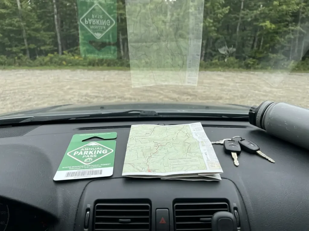
Nobody’s White Mountains trip fails because they picked the wrong trail. They fail because the lot was full at 9am, or because their federal pass didn’t cover the thing they drove two hours to see.
The good news is that the White Mountain National Forest is a Forest Service unit, which means an America the Beautiful pass covers most Forest Service parking fees at standard amenity trailheads. If you already own one for a western national park trip, it works here for the everyday trailhead parking fee, and if you don’t, the annual pass costs $80 as of 2026 and pays for itself fast across a week of trailheads.
The bad news is the exception that catches almost everyone: it does not cover Flume Gorge. Flume is a state-run attraction inside Franconia Notch State Park, with its own admission and its own timed-entry reservation, and it sits geographically in the middle of federal forest land, which is exactly why people assume the federal pass applies. It doesn’t.
Book Flume separately and in advance, or don’t go. This is the same category of problem as trailhead rules that change depending on which agency manages the land, and the Whites happen to be a place where federal, state, and AMC-managed ground all touch each other within a few miles.
Parking is the other constraint that ignores your plans. Lafayette Place, Artist’s Bluff, and the Welch-Dickey lot all fill early on summer and foliage weekends, and the popular ones can be full by 7:30am in the first week of October. Arriving at dawn in this range is a planning decision, not enthusiasm. Have a second trailhead in mind before you drive.
Seasonal road closures quietly delete trailheads from a shoulder-season plan. Jefferson Notch Road and Tripoli Road both close in the off-season, and if your route sheet assumed one of them was open, you’ve added an hour of driving or lost the hike entirely. Check road status the same week you check the forecast.
For base towns: Lincoln and Woodstock put you closest to Franconia Notch and the western Kancamagus, North Conway serves the eastern Kancamagus, Chocorua, and Pinkham Notch, and Gorham is the practical base for the northern Presidentials and the Carter-Moriah Range. If the Whites are further than you want to drive this season, the same trailhead-first planning works closer to the city, and our complete guide to the Sam’s Point area of Minnewaska State Park Preserve walks through a weekend parking system that is stricter than anything the White Mountain National Forest runs. On a long weekend, pick one and accept some driving. On a full week, plan to move.
When to Go, and What Each Season Actually Demands
The stock answer is fall foliage, and it isn’t wrong. It’s just incomplete in a way that costs people the trip they wanted.
Summer, Foliage Season, and the Crowd Math
Summer gives you the longest days and the most reliable above-treeline windows, which matters more than comfort when your whole plan depends on a summit being walkable. July and August are when you have the best odds of getting the Presidentials on the day you scheduled them. They’re also when huts are fully booked and lots fill first.
Late September into early October is peak foliage and peak everything else. The color along that scenic drive through Crawford Notch and the Kancamagus is as good as advertised. So is the traffic.
And the part that surprises visitors: the summits can already carry ice while the valleys are still shirt-sleeve weather. A 65-degree afternoon at the trailhead is entirely compatible with rime ice and 25-degree wind chill on Lafayette, and it happens most years.
Foliage timing also moves. It runs north to south and high to low, so peak on Moosilauke and peak in Conway are different weekends. Anyone promising you a specific peak Saturday two months out is guessing.
Shoulder Season and Winter: What Changes on Your Feet
Mud season and early winter are the same problem wearing different clothes. In both, the summits hold ice and hardpack long after the trailhead is bare dirt, and the transition tends to happen abruptly somewhere in the last thousand feet. You walk up in trail runners feeling clever and then hit a stretch of blue ice on a rock staircase, or you spend the descent postholing through rotten snow that held your weight fine two hours earlier.
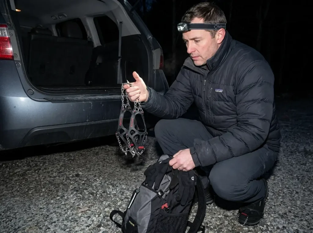
Traction devices are the standard answer, and the distinction that matters is what they aren’t. The Kahtoola MICROspikes are the range’s default shoulder-season tool: they slip over a boot in fifteen seconds and turn hardpack snow and ice-glazed rock into ordinary walking. They are not a crampon substitute for steep alpine terrain like Tuckerman or Huntington Ravine in winter conditions, where you need a rigid boot, a real crampon, and an axe you know how to use. That’s a genuinely different sport with a genuinely different failure mode. If you want the full breakdown of when microspikes are enough and when you actually need crampons, it’s worth understanding before your first icy October summit rather than during it.
Carry the traction from mid-September, not from the first snow report. What you’re packing for isn’t the weather at the trailhead, it’s the last 800 feet of the mountain, and those two things separate by about six weeks in both directions here. The cost of carrying spikes you don’t use is a pound in your pack. The cost of not carrying them is turning around 20 minutes from the summit.
Winter compounds all of it, because the road closures above take trailheads off the board at exactly the season when your options are already narrower. The same shoulder-season traction problem shows up on Northeast fire-tower trails, where the summit ice arrives weeks before anyone expects it and the parking lot gives you no warning at all.
Reading Mount Washington’s Weather Before You Commit Above Treeline
Every guide to this range says the weather changes fast and to be careful. Almost none of them tell you what to look at, what number makes you turn around, or when to look. That gap is where people get hurt, so here’s the actual procedure.
The Forecast That Exists for Exactly This Decision
The Mount Washington Observatory publishes the Observatory’s twice-daily Higher Summits Forecast, a Morning Summit Report and an Evening Summit Report, each signed by a weather observer and stamped with its update time. It is written for the summits, not for the valleys. That distinction is the whole point: your phone’s weather app is forecasting the town you’re standing in, and the town is not where the hard part of your hike happens.
The Observatory is a private nonprofit staffed year-round on the summit, and it works alongside the Appalachian Mountain Club, which is why this forecast reads like it was written by someone who expects hikers to act on it rather than to be entertained by it. The forecast carries its own instruction, and it’s worth quoting exactly: “Mountain weather is subject to rapid changes and extreme conditions. This forecast is just one tool to help you plan a safe trip (if in doubt, turn around!).”
Check it the morning of. Not the night before. The evening report is useful for deciding whether to set an alarm; the morning report is what decides whether you go up. Conditions on these summits reorganize themselves overnight often enough that a 24-hour-old read is a different mountain.
The Three Numbers That Decide, and the Words That Go With Them
The forecast gives you, per time block, three separate figures: sustained wind, gusts, and wind chill stated apart from the air temperature. Read all three. The temperature by itself tells you almost nothing about whether the ridge is walkable.
Here’s what an unremarkable early-September reading looks like: a low in the lower 40s, wind northwest at 35 to 50 mph gusting to 65, wind chill 20 to 30 above. Read that again, because it’s the most useful calibration in this article.
That is not a storm. That is a normal shoulder-season night on the summit. Forty-degree air with a 65 mph gust behind it feels like the low twenties and pushes you sideways on rock you needed both feet on.
Sustained wind is what you walk in. Gusts are what knocks you over, and the number that matters for footing is the gust, not the average. Wind chill is what decides how long you can be up there before your hands stop working well enough to open a pack or read a map. Somewhere in the 40 to 50 mph sustained range, most hikers stop walking a straight line above treeline, and that’s a fine personal limit to set in advance and hold to.
The forecast also uses its own visibility language instead of cloud percentages: in the clear, in the clouds, in the fog. Learn what those mean for you. “In the clear” is the day you drove up here for.
“In the clouds” means you’re inside the weather with limited sight lines. “In the fog” above treeline means navigating cairn to cairn in whiteout on a trail whose route is defined entirely by rock piles you can’t see the next one of. That is a fundamentally different hike than the one on your itinerary, and it’s the condition in which people walk off the Presidential Range in the wrong direction.
Turning Around, and Having a Way to Call for Help
Route choice is part of the same decision.
Tuckerman Ravine is the way most people picture climbing Washington, and in winter and spring the ravine itself is avalanche terrain, which is why the Lion Head Trail exists as the winter route around it. The turn-around decision gets made in the car, not on the ridge. Pick your bail point and your time cutoff at the trailhead, say them out loud to whoever you’re hiking with, and then treat them as decisions already made. Judgment at hour six with the summit visible 300 feet above you is the worst judgment you’ll have all day, which is exactly why the good version of this rule is made by the version of you sitting in a parking lot at 6am.
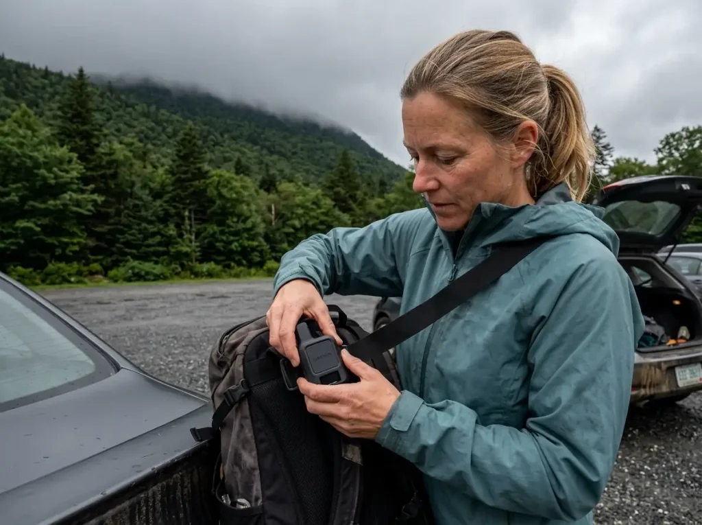
Above treeline in the Presidentials there is frequently no cell signal, and that’s the practical argument for a satellite messenger for anyone who hikes this range more than once a year. The Garmin inReach Messenger is the standard pick: two-way global satellite texting with no cell service required, roughly 28 days of battery in tracking mode, and an SOS that reaches a coordination center rather than hoping someone reads your text. The practical value isn’t only the emergency button.
It’s being able to send “held up, off the ridge, down by 8” to someone at home so nobody calls in a search for a hiker who’s just slow. If you’re deciding between devices, how the inReach compares to a SPOT when the SOS actually matters comes down to the two-way messaging more than the beacon itself.
Some hikers prefer a dedicated beacon with no subscription, which is a legitimate tradeoff and a different device class. Working out whether you want a satellite messenger or a personal locator beacon is worth doing once, properly, before you’re standing in an aisle comparing battery specs.
The thing about Franconia Ridge, which is a lower and far more commonly hiked shoulder of this same range, is that it produces the same story from person after person. Calm parking lot. Pleasant climb through the trees. Then you crest onto the ridge at Little Haystack and walk into 50 mph of wind that wasn’t in the forecast you checked, because you checked the wrong forecast.
Whites regulars call this the bait-and-switch, and everyone who hikes here regularly has a version of it.
The 10 essentials are not a beginner’s checklist in this range, they’re the reason a bad afternoon stays an inconvenience, and carrying what belongs in a first-aid kit you can actually use on a ridge matters more than usual in a place where the weather can turn a twisted ankle into a two-hour problem.
Screenshot the morning forecast before you leave the parking lot. Cell service dies in the notches, and you want the actual gust numbers in front of you when you’re standing at treeline arguing with yourself, not a half-remembered version that’s already drifted in your favor. Memory is very generous about wind speeds when the summit looks close.
The AMC Hut Strategy Nobody Explains Properly

The huts are the most useful thing about this range for anyone who wants ridge days without a 40-pound pack. They’re also the thing most guides mention in one sentence and move past, which leaves readers with no idea how the system actually works or when the decision has to be made.
What a Hut Is, What It Costs, and What’s Included
The Appalachian Mountain Club runs a chain of eight High Mountain Huts spaced roughly a day’s hike apart through the Whites, staffed in season by a crew that packs supplies up on their backs. You get a bunk in a shared room, a cooked dinner, and a cooked breakfast. You don’t get a shower, you don’t get electricity in any useful sense, and you sleep in a bunkroom with people who snore.
Rates run roughly $150 to $375 per person per night depending on which hut and which season, with a 20% discount for AMC members, and the AMC’s own hut system page lists current rates and reservation windows. Budget for it like a modest inn, not a backcountry campsite, and be clear with yourself about what you’re buying: no tent, no stove, no fuel, no backpacking food weight, and a bed that’s already at 4,200 feet when you wake up. On a Presidential traverse that changes the trip from an expedition into a series of long day hikes.
Hut culture has its own norms, and they’re closer to a hostel than a hotel. The unwritten rules that apply in mountain huts everywhere apply here too: you take your boots off at the door, you don’t run a headlamp at full brightness in a bunkroom after 9pm, and you help clear the table when the crew asks.
The Reservation Timeline, Which Is the Whole Game
This is the part that decides whether you get a hut night, and it happens months before your hike.
Summer weekends book up months in advance. A July Saturday at Lakes of the Clouds or Greenleaf can be gone by March, and the standard version of this story is somebody sitting down in May to plan a great August trip and discovering there is nothing available on any weekend they can take off. That isn’t an edge case or bad luck. It’s the default outcome for anyone who starts planning at a normal-feeling time.
So the rule is: book at winter’s end for a summer trip. February and March, not May. And if your dates flex at all, aim at weekdays, which stay available far later and are also markedly quieter once you’re there. Compared to how hut-to-hut works when the system is built out to its full extent in the Alps, the AMC network is small, which is exactly why the booking pressure on it is so concentrated.
The Free Version, and the Backcountry Alternative
Here’s the part almost nobody writes down: you can walk into any hut during the day without a reservation and without paying for a bunk. Refill your water, eat your packed lunch at the dining tables, use the composting toilet, buy a baked good from whatever the crew made that morning. Day-hikers on Franconia Ridge use Greenleaf this way constantly, and Presidential Range hikers do the same at Lakes of the Clouds. For a long exposed day, having a building with walls at a known point on your route changes the risk calculation more than any single piece of gear.
If you’re camping instead, two rules govern.
Designated tentsite and shelter spots exist lower down, but camping above treeline in the alpine zone is prohibited, and it’s an enforced regulation rather than a suggestion, because that vegetation takes decades to recover. This is where Leave No Trace stops being a poster in the parking lot and becomes the actual rule you’re being held to. Elsewhere in the forest, dispersed backcountry camping requires staying 200 feet back from trails and water sources. Practically, that means you plan your last legal campsite before you climb into the alpine zone, not after you’re standing in it at dusk.
Food storage is the other requirement, and there are no bear boxes waiting for you at most backcountry sites here. A hard-sided bear canister like the BearVault BV500 Journey Bear Resistant Food Container is the standard answer: IGBC-approved, around 700 cubic inches, which is roughly four days of food for one person,. It’s not day-hiker gear, and if you’re doing hut nights you won’t need one at all.
It’s for the Pemi Loop and anything else where you’re sleeping on the ground. If you’re weighing it against a hanging system, the real tradeoffs between a hard canister and a hanging bag come down to where you’re camping and how much you trust your throwing arm at dusk.
Which White Mountains Trails Work With a Dog, and Which Don’t
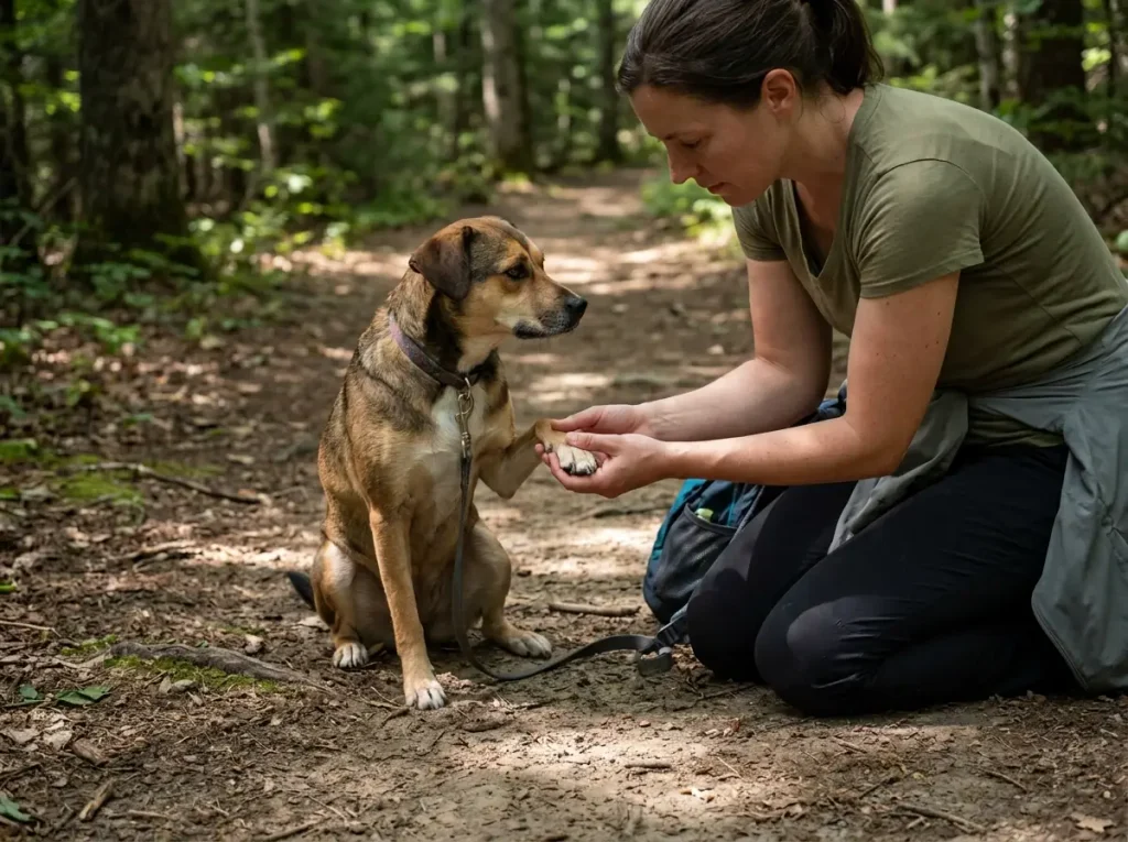
Most guides handle dogs in one line: most trails allow dogs, keep them leashed. That’s a legal answer to a physical question. Hiking with dogs here comes down to whether this specific dog can handle this specific rock, and the Whites make that question sharper than most ranges do because so much of the terrain is bare granite and scrambling.
Match the dog to the terrain the same way you’d match a first-time hiker to it. Allowed and suitable are two different words.
A fit six-year-old lab who hikes every weekend and a fifty-pound couch dog on her third trail ever are not doing the same hike, even on identical mileage. If you want a full system for hiking with your dog, the gear and conditioning side matters here more than usual.
The genuinely dog-friendly trail picks in this range are the waterfall walks. Arethusa Falls, Sabbaday Falls, and Glen Ellis Falls all give you real trail, real payoff, shade, and water access, with no scrambling and no exposure. Those are the trails where a dog who has never done a mountain gets to find out whether she likes this.
The experienced-dog-only tier starts with Franconia Ridge. The exposed rock is abrasive on paws over a sustained distance, the scrambling sections require a dog fit and confident enough to commit to moves, and there is nowhere to bail once you’re on the ridge. The Welch-Dickey slabs are the same problem in shorter form: dogs generally climb slab better than they descend it, and a dog that scampered up a pitch of granite can absolutely refuse to come back down it. The Mount Osceola chimney is the clearest skip-it in the range, a genuine rock chimney move that a lot of dogs simply cannot do and a lot of owners cannot lift them through.
The exposure point deserves its own beat. Above treeline your dog is in the same wind and the same wind chill you’re in, at a fraction of your size and with no way to tell you she’s had enough until she stops. Dogs also don’t self-regulate on pace.
She will keep going as long as you keep going, well past the point where she’d have turned around on her own. The turnaround signals are subtle and mostly physical: shortened stride, lagging behind instead of ranging ahead, sitting down at rest stops instead of sniffing around. That last one, on a dog who normally can’t hold still, is the one to act on.
Carry water for her specifically, and carry more than feels reasonable. The alpine zone has none, and the streams you crossed at 2,500 feet are long behind you.
A collapsible bowl and an extra liter is the whole solution. On leash rules, dogs must be under control throughout the White Mountain National Forest and leashed in developed and heavy-use areas, and what off-leash rules actually say varies enough between agencies and specific sites that it’s worth checking for your trail rather than assuming. Leashing on a crowded slab is also just easier, because a dog weaving through hikers on tilted granite is a fall waiting for someone.
Building a Long Weekend or a Full Week in the Whites
Everything above becomes an itinerary here. The organizing principle is simple and almost nobody follows it: sequence your days by weather flexibility, not by ranking.
The Long Weekend (Three Days)
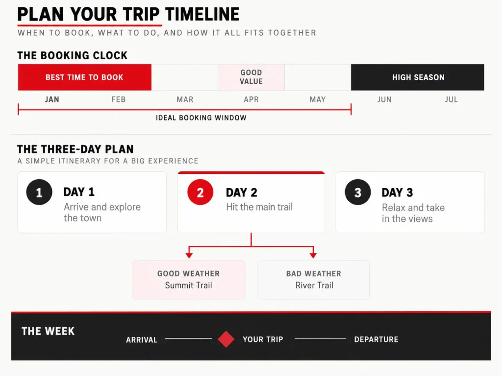
Day one, take a moderate full-day trail to see where your legs actually are. Welch-Dickey or Chocorua. You learn what this rock does under your feet, you find out whether your boots fit the way you thought, and you get a real hike out of it rather than a warm-up.
Day two is the weather day.
If the Higher Summits Forecast gives you a window, this is Franconia Ridge. If it doesn’t, this is Arethusa Falls and Frankenstein Cliff, or Moosilauke on the range’s gentler corner, and you’ve lost nothing because you never committed. The principle underneath: never book the above-treeline day as a fixed commitment. Make it the flexible one, and keep two valley alternatives ready so the pivot takes thirty seconds instead of ruining a morning.
Day three, a half-day pick on the way out. Artist’s Bluff or Mount Willard, done by noon, home at a civilized hour.
For a three-day trip, pick one base town and accept the driving. Lincoln covers Franconia and the western Kancamagus well enough that you’re never more than forty minutes from a trailhead. The same base-town approach works in the southern Appalachians, and for the same reason: the driving between trailheads is the hidden cost that eats short trips.
A Full Week, and the Peak-Bagging Frame
With seven days the huts become worth the booking effort, and the multi-day ridge terrain opens up: a Presidential Traverse staged around hut nights, or Pemi Loop country if you’re carrying everything. The Traverse is the one people picture: a north-to-south walk over Mount Madison, Mount Adams, Mount Jefferson, Mount Clay, Washington, Mount Monroe, Mount Eisenhower, Mount Pierce and Mount Jackson, almost all of it above treeline, which is why the single-day version has a reputation as one of the hardest days in the Northeast and why the hut-staged version is the one most people should actually do.
The Pemi Loop is the other flavor: a long circuit through the Pemigewasset Wilderness taking in Bondcliff, Mount Bond and Mount Guyot, with the most remote backcountry campsite options in the range and no road bailout worth the name once you commit. The hut night is your one fixed point in the week. Build the rest around it, put your flexible weather days on either side, and plan to move between base towns rather than commuting from one.
A week also changes what you carry, because consecutive long days punish different things than a single big day does. Dry feet and saved knees matter enormously on day four and barely register on day one.
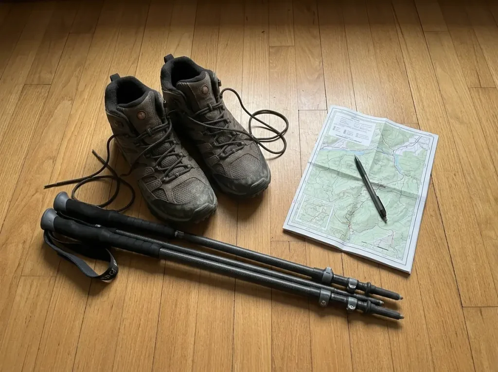
Hiking poles stop being optional on the third slab descent in as many days, and the Cascade Trekking Poles are the budget-friendly carbon-fiber pick that most people here end up with, light enough that you’ll actually bring them rather than leaving them in the car. On footwear, the Merrell Moab 3 Mid Waterproof (men’s · women’s) is the sensible mid-height waterproof default for this range: enough sole stiffness for granite edges and enough ankle for a loaded descent, without the break-in penalty of a full leather boot. The Whites are wet often enough, from every water crossing to the drainage-channel sections of Falling Waters, that waterproof earns its ventilation penalty here in a way it doesn’t everywhere.
The peak-bagging lists are the last piece, and they’re what turns one trip into a decade of them. The NH48 gives you 48 targets with an accepted finish line and a genuine community around it.
52 With a View is the better list for people who care more about what they see than what the contour lines say, and it sends you to quieter trailheads: Middle Sugarloaf above Zealand, Mount Tecumseh at Waterville Valley, Mount Cardigan south of the forest proper. Working either list is what eventually walks you into the corners nobody plans a first trip around, like Carter Notch and Carter Dome on the eastern wall, Mount Hight just off the ridge from them, Wildcat Mountain across the notch, and the Appalachian Trail where it threads the Presidentials, and the Ammonoosuc Ravine Trail or the Jewell Trail as the western approaches to Washington that most first-timers never even look at. Neither is a requirement.
Conclusion
Pick by the time you have, not by the ranking. A half day at Artist’s Bluff you actually enjoy beats a 4,000-footer you bail off at 2pm,.
Read the Higher Summits Forecast the morning of, and read gusts and wind chill rather than the temperature. Forty degrees with a 65 mph gust is a different mountain than forty degrees, and that gap is where the trouble in this range lives.
If a hut night is part of the plan, book it at winter’s end. That single decision gets made in February for a hike you take in August, and it’s the one piece of White Mountains planning that cannot be fixed later.
Next step, before you buy anything: pull up the Higher Summits Forecast for the day you’re considering and read it against the trail you picked. That one habit changes more White Mountains trips than any gear purchase ever will.
Frequently Asked Questions
01What is the most scenic hike in New Hampshire?
The Franconia Ridge Loop is the honest answer for most hikers: a sustained above-treeline traverse from Little Haystack to Mount Lafayette with open views in every direction. Mount Chocorua’s rocky summit cone and Mount Willard’s Crawford Notch overlook are the strong runners-up at far less effort.
02What are the best day hikes in New Hampshire?
Sorted by effort: Artist’s Bluff and Mount Willard for a half day, Welch-Dickey Loop and Mount Chocorua for a moderate full day, and Franconia Ridge or Mount Moosilauke for a hard one. The half-day and full-day sections above break down the mileage and gain for each.
03What is the Terrifying 25 in NH?
The Terrifying 25 is an informal community list of the White Mountains’ hardest and most exposed hikes, used mainly by hikers who have already worked through the NH48. It carries no official status and no patch, unlike the Four-Thousand Footer list the AMC recognizes.
04What are some hidden gems in the White Mountains?
Genuinely quiet trails exist, but they are quiet because they sit away from the Kancamagus and Franconia Notch corridors. Middle and North Sugarloaf near Zealand, the Carter-Moriah Range out of Gorham, and Mount Cardigan south of the forest all see a fraction of the traffic.
05What are the 25 best hikes in the White Mountains National Forest?
There is no official list of 25 best hikes. The number circulating online comes from the Terrifying 25, a hardest-hikes list, not a best-of ranking. The lists that actually structure repeat trips here are the NH48 Four-Thousand Footers and 52 With a View.
Risk Disclaimer: Hiking, trekking, backpacking, and all related outdoor activities involve inherent
risks which may result in serious injury, illness, or death. The information provided on The Hiking Tribe is for
educational and informational purposes only. While we strive for accuracy, information on trails, gear, techniques,
and safety is not a substitute for your own best judgment and thorough preparation. Trail conditions, weather, and
other environmental factors change rapidly and may differ from what is described on this site. Always check with
official sources like park services for the most current alerts and conditions. Never undertake a hike beyond your
abilities and always be prepared for the unexpected. By using this website, you agree that you are solely
responsible for your own safety. Any reliance you place on our content is strictly at your own risk, and you assume
all liability for your actions and decisions in the outdoors. The Hiking Tribe and its authors will not be held
liable for any injury, damage, or loss sustained in connection with the use of the information herein.
Affiliate Disclosure: We are a participant in the Amazon Services LLC Associates Program, an
affiliate advertising program designed to provide a means for us to earn advertising fees by advertising and linking
to Amazon.com. As an Amazon Associate, we earn from qualifying purchases. We are also an official affiliate partner
of Black Diamond Equipment via the AvantLink network. If you click on a Black Diamond affiliate link and make a
purchase, we may earn a commission at no additional cost to you. We also participate in other affiliate programs and
may receive a commission on products purchased through our links. Additional terms are found in the terms of
service.