In this article
The app showed a clean blue line the whole way, right up until the phone hit 20% at the trail fork with the light going. That is not an app problem. It is a plan problem, and it is the exact moment most hikers learn that a phone is a tool, not a guarantee. The National Park Service tells every visitor their phone battery may not last the whole trip, so treat the app as one layer of navigation instead of the entire system. Here is which apps are worth it, which free tiers quietly stop working when you need them, and the three things that keep you found when the screen goes dark.
How to Pick the Right App for Your Kind of Hiking
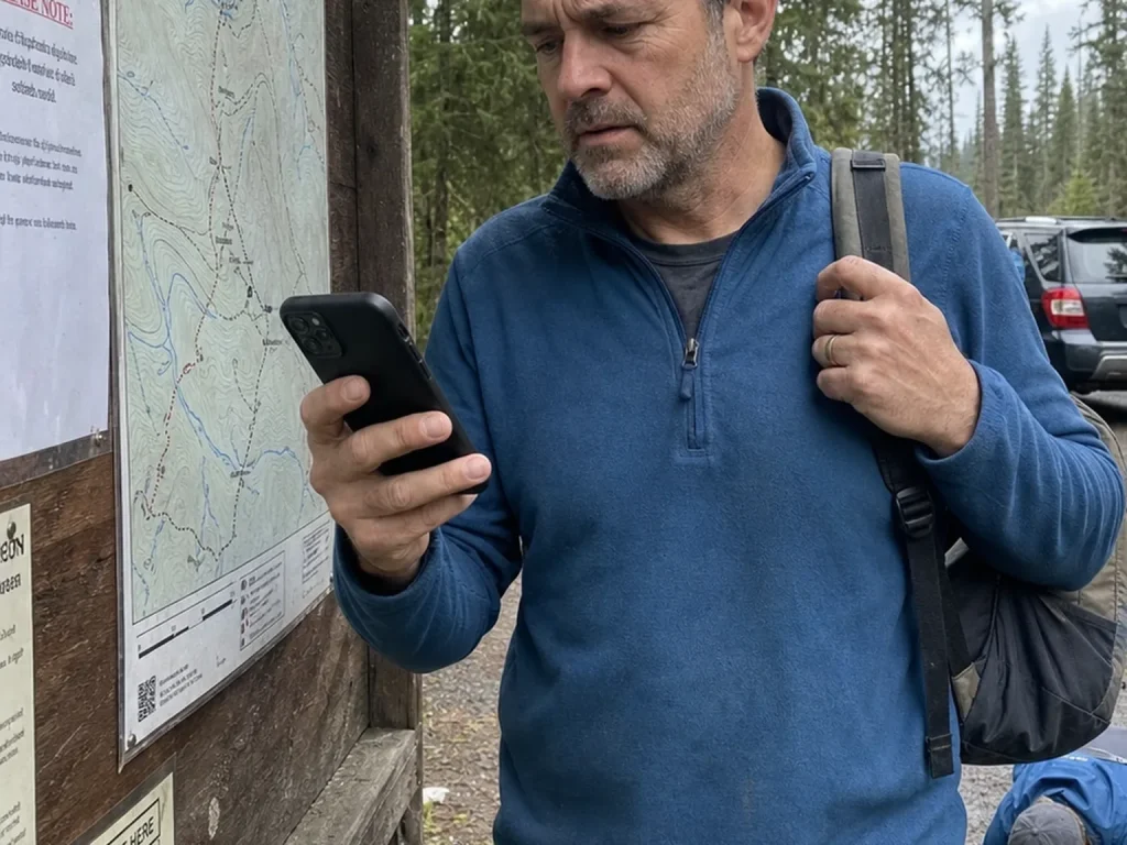
Before you download six apps and start juggling three subscriptions, stop and ask what you are actually hiking. A well-marked state-park loop and an off-trail alpine route need completely different tools, and treating them the same is how people either overpay or get caught short.
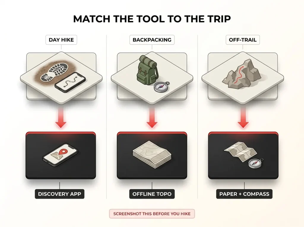
Sort your hiking into three buckets. Marked day hikes with signal need little more than a good trail discovery app to find the route and read recent conditions. Multi-day backpacking is where offline topo maps stop being optional, because you will lose signal and you cannot download what you did not cache. Off-trail travel and thru-hiking demand precision and redundancy, where one glitch should never leave you stranded.
The biggest beginner mistake is paying for a backcountry-grade app before ever needing it. The feature list looks impressive in the app store, then feature overwhelm and subscription fatigue set in and the app goes unused. Start simple and upgrade when a real trip forces the need.
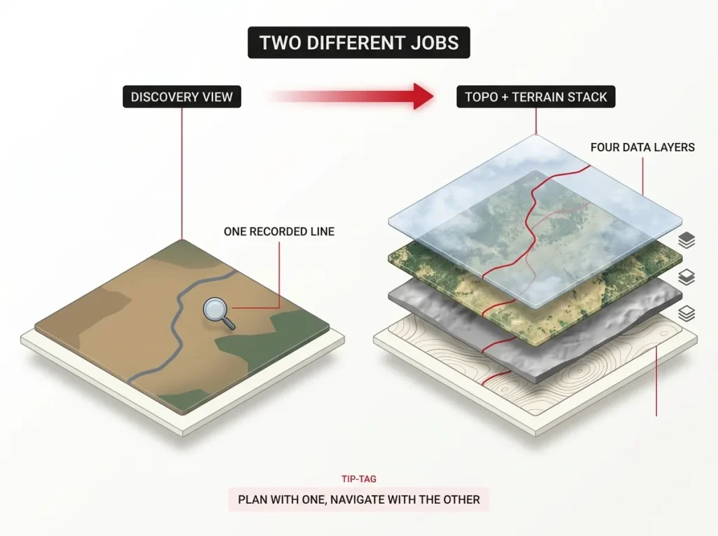
This is why the honest answer for committed hikers is usually two apps for two jobs, not one app that does everything. One handles discovery and community beta, the other handles precise navigation once you commit to a route. If you want the wider picture of how a phone app fits next to a handheld unit, a GPS watch, or a beacon, it helps to see where a phone app fits among all your navigation options before you spend a dollar.
AllTrails, the App Most Hikers Start With
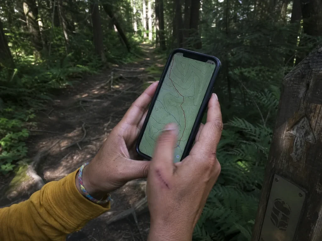
AllTrails is the app your non-hiking coworker has heard of, and that popularity is both the feature and the trap. With more than 60 million registered users and over a million paying subscribers, its community size is the whole point for the question of where should I hike this weekend. More users means more recent condition reports, more photos, and more reviews than anything else on the market.
The free tier is a solid discovery tool. It shows you trails near you, lets you filter by distance, elevation gain, difficulty rating, dog-friendly, and kid-friendly, and gives you more community reviews and recent photos than anything else before you drive out. Offline maps and some safety features sit behind the Plus and Peak subscription tiers, which matters the moment you leave signal behind.
Here is the honest limit. The AllTrails trail line is built from user-submitted GPS tracks, so its accuracy varies, and a recorded herd path can look identical to an official, maintained trail on your screen. That is fine for browsing and planning. It becomes a real concern once you are following that line into unfamiliar ground, which is why it is worth understanding how AllTrails stacks up against Gaia head-to-head before you trust one over the other in the backcountry.
Use AllTrails to plan at home, not to navigate blind on trail. Read the three most recent reviews before you go, because a two-year-old five-star review will not warn you about the washed-out bridge someone hit last week.
Gaia GPS, the App for Backcountry and Off-Trail
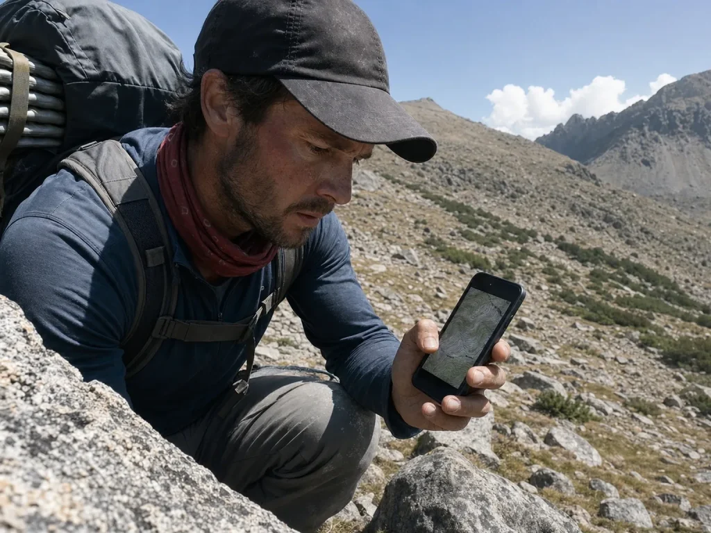
Gaia GPS stops being optional the moment the blazes do. It is described as the standard for backcountry hikers, hunters, and search-and-rescue teams across North America, and that reputation is earned in exactly the terrain where AllTrails gets thin.
The difference is the maps themselves. Gaia layers USGS topo maps, satellite imagery, weather overlays, and even snow-depth data, so you are reading the actual shape of the land instead of a single suggested line. For off-trail travel, that layered view is doing a materially different job than a trail-discovery database.
It also leans on surveyed and agency data rather than crowdsourced tracks, which is the core reason it is trusted when you leave the maintained trail. You are looking at what the land agency mapped, not what the last hundred phones happened to record.
The catch is that offline downloads sit behind a membership, so it is worth it only once you are actually going where signal is not. For casual park loops, you do not need it. When your trips start pushing into real backcountry, that is also the point to ask whether a dedicated GPS unit earns its place over your phone, since the reliability calculus shifts once your safety depends on the device.
Free Apps and the Bait-and-Switch to Watch For
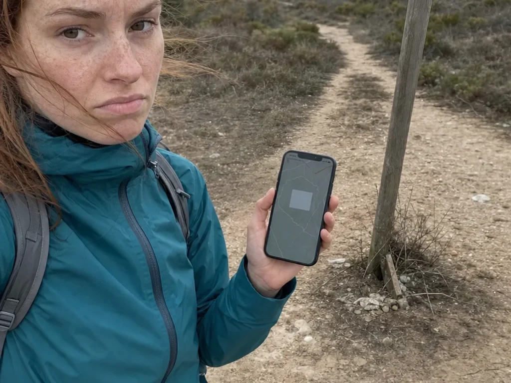
Free hiking apps are genuinely useful, but you have to know which ones are free forever and which ones dangle a free tier and then paywall the one feature that matters. The trick almost always centers on offline maps.
Here is the pattern. The app works beautifully at home and around town, so you assume it will work on trail. Then you lose signal, and the map you thought you had never actually downloaded, because offline access was the paid feature all along. You lose the free part at the exact moment you needed it.
Genuinely free and offline-capable options do exist, and they make a real no-cost floor. Organic Maps and OsmAnd both store full offline maps at no charge, and the NPS App downloads each national park for offline use. For marked, in-signal day hikes, a free tier is plenty. The failure shows up on the trips where navigation matters most.
There is a mechanical reason the free version fails you mid-trip, and it is worth understanding. When an app relies on cached map tiles, it has no way to fetch a tile you never downloaded, and background app refresh hunting for a connection can quietly drain your GPS lock at the same time. A download that silently failed on weak trailhead wifi looks identical to a working one until you are truly offline and staring at a blank gray square where the trail should be. If you want a full breakdown of which no-cost options hold up, dig into the free apps that actually work with no signal before you rely on one.
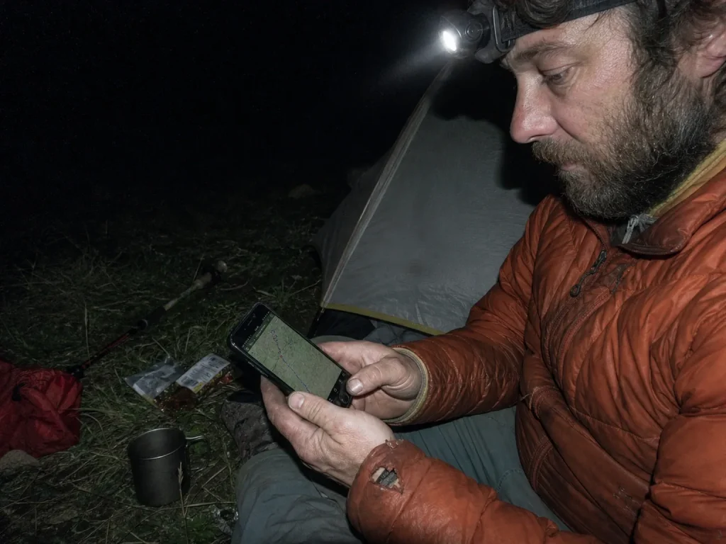
Verify your offline download before you leave the car. Put the phone in airplane mode in the parking lot and pan around the full route on the map. If the tiles are blank, the download failed, and you just caught it while you still had a bar of signal.
Specialty Apps Worth Adding for the Right Trip
Beyond the two big navigation apps, a handful of specialty tools earn their place on specific trips. You do not need any of them until you do, and then the right one is worth its download.
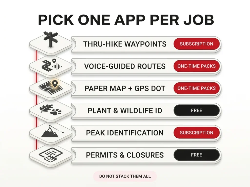
FarOut, formerly Guthook Guides, is the thru-hiker standard, with crowd-sourced waypoints for water sources, campsites, and resupply notes along long trails like the Appalachian and Pacific Crest. Komoot handles route planning with turn-by-turn voice navigation even on hiking trails, and it sells one-time regional map packs instead of a recurring subscription, which can end up cheaper over several seasons if you hike mostly in one home region. Avenza Maps loads georeferenced PDF and agency maps, including a scanned USGS quad, and drops a live GPS dot on them, making it the practical bridge between your phone and official paper maps. Most of these apps let you import or export a GPX file too, so a route you plan on one app can move to another.
Then there are the identification and logistics tools. Seek by iNaturalist identifies plants and wildlife from your camera, PeakVisor names the summits on the horizon, and Recreation.gov plus the NPS App handle permits, reservations, and current trail closures.
The rule is restraint. Do not stack all of them, because every extra app is another battery draw and another interface to learn under pressure. Pick the one that matches the trip in front of you. This side-by-side walkthrough from a thru-hiker shows how the main navigation apps actually differ in daily use.
If your takeaway is that you would rather not depend on the phone at all, a GPS watch is another way to navigate without your phone and keeps your hands and your battery free.
Do Hiking Apps Work Without Cell Service
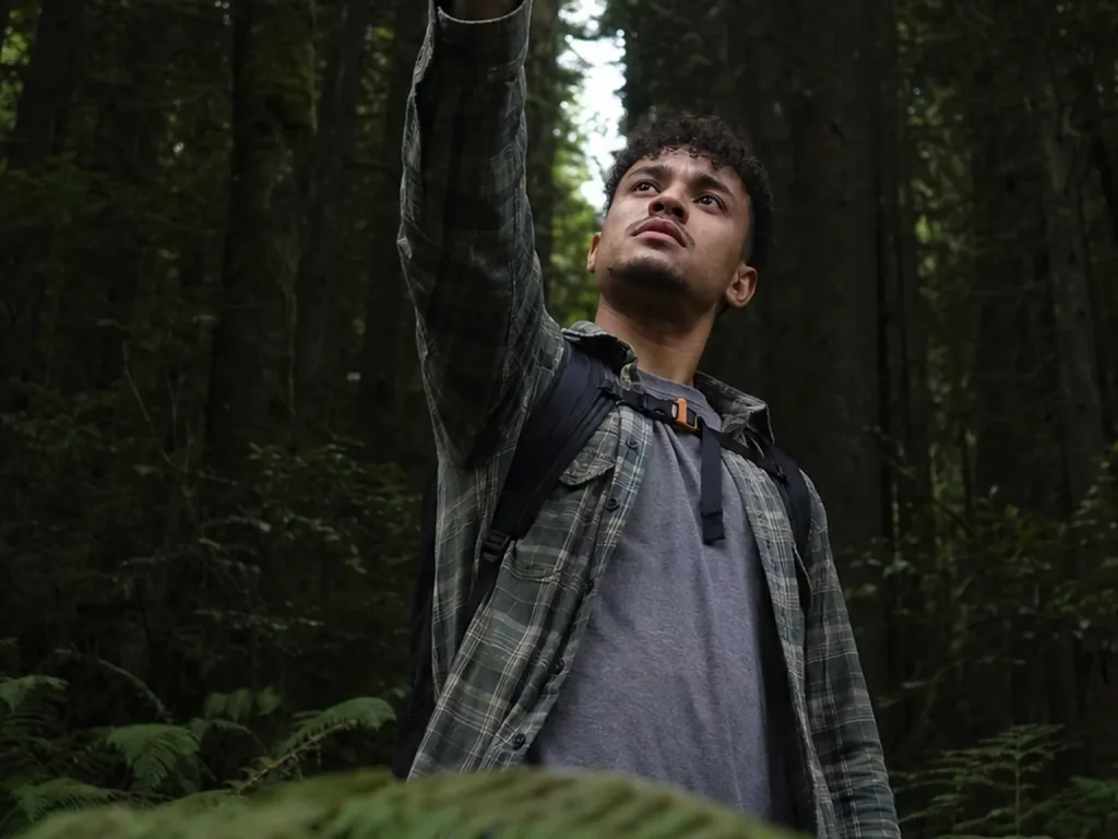
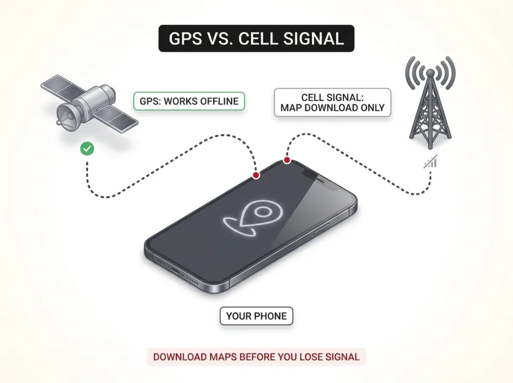
This is the question every new hiker asks, and half of them get the answer wrong. Yes, hiking apps work without cell service, because your phone’s GPS chip talks to satellites, not cell towers. Standing in a canyon with zero bars, your phone still knows where it is.
What you lose without signal is the ability to download maps you did not already cache. The GPS signal from the satellites keeps the location dot working. The map underneath it only appears if you saved those tiles first. That single distinction explains most of the “my app died in the backcountry” stories out there.
The fix is simple and worth doing every time. Download your offline map tiles at home on strong wifi, days ahead of the trip, not the night before on hotel wifi and definitely not at a one-bar trailhead. This is exactly the NPS’s own tips for downloading offline maps before you lose signal, and it applies to every app, not just the park service one.
Once your maps are cached, put the phone in airplane mode with GPS still on. That keeps your location fix while shutting off the radio that would otherwise burn battery hunting for a signal that is not there. A download you verified beats a download you assumed, so pan the whole route before you leave the car.
Honest Battery Math That Keeps Your Phone Alive
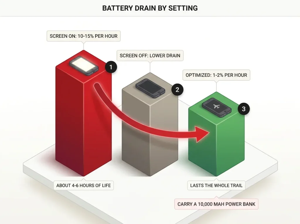
Nobody gives you the actual number, so here it is. A phone running a GPS app with the screen on drains roughly 10 to 15 percent per hour, which means four to six hours of life before it quits. Leave AllTrails or Gaia open for a full-day hike and the phone will not survive the drive home, according to the National Park Service’s own trip-planning guidance.
The good news is that battery drain is mostly under your control. With the screen off between checks and settings dialed in, tracking drops to as low as 1 to 2 percent per hour, and Gaia GPS in particular benchmarks near 2 percent per hour in tracking mode. Four toggles do the heavy lifting: screen off between position checks, airplane mode with GPS on, wifi and cellular scanning disabled, and low brightness. The difference between a dead phone at mile 6 and one that lasts the whole trail is those settings, not the app you chose.
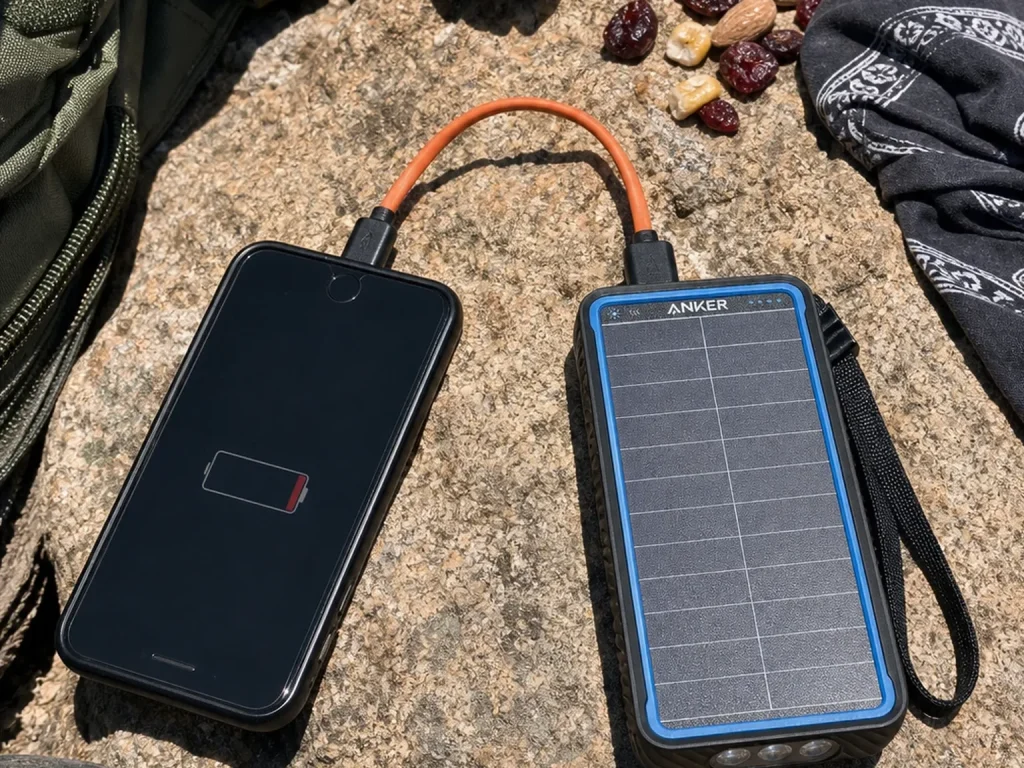
For the trips where optimized settings still are not enough, carry a portable charger. A 10,000 mAh pack recharges most phones about two times over, which comfortably covers a long day plus a margin. The Anker PowerCore Solar 10000 adds a trickle-solar panel that earns its keep on multi-day trips when there is no wall outlet for days.
One quiet trap is cold. Lithium batteries lose capacity fast in the cold, and a phone left exposed on a winter ridge can shut down with plenty of charge still showing. Keep it in an inside pocket where it stays warm between checks. If that battery anxiety is a constant on your trips, it is worth knowing that a GPS watch sips battery compared to a phone and can carry the navigation load while your phone stays off.
Keep the screen usable without draining it
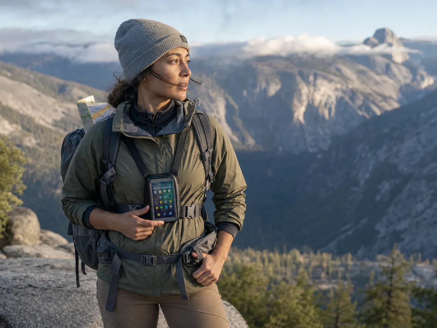
The screen-on habit is the single most expensive one, so the goal is to check quickly and get the display dark again. A chest mount makes that easy instead of annoying, because you glance down at a mounted phone rather than stopping and digging it out of a pocket every mile. A waterproof chest mount and case also protects the screen during the exact screen-on time the battery math flags as costly, and it keeps the phone from taking a swim at a creek crossing.
Between checks, the screen goes dark and the phone goes back to sleep. The mount turns that from a chore into a reflex, which is what actually saves the battery over a long day.
Record your track with the screen off, not open. Start tracking at the trailhead, lock the phone, and only wake it when you actually need to check position. You get the full breadcrumb trail home at a fraction of the battery cost of a screen you keep glancing at.
Paper Maps Are the Backup That Never Dies
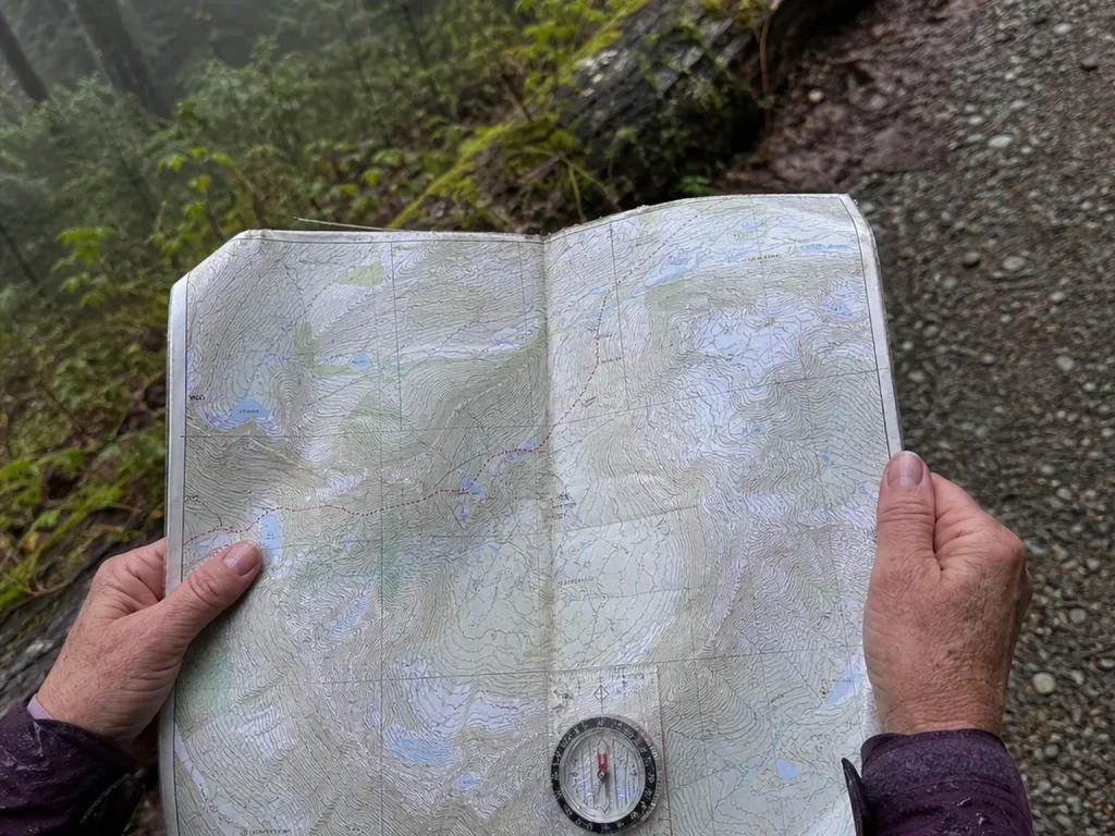
The title says “and Maps” for a reason, and this is it. A paper map works at 3 percent battery, at ten below zero, and after you drop it in the creek. It has no failure mode you cannot see coming, which is exactly what you want from a backup.
“My phone is my map” fails precisely when you need the map most: dead battery, cracked screen, or a cold-weather shutdown miles from the trailhead. A phone has a dozen ways to quit on you at once. A folded piece of waterproof paper has none.
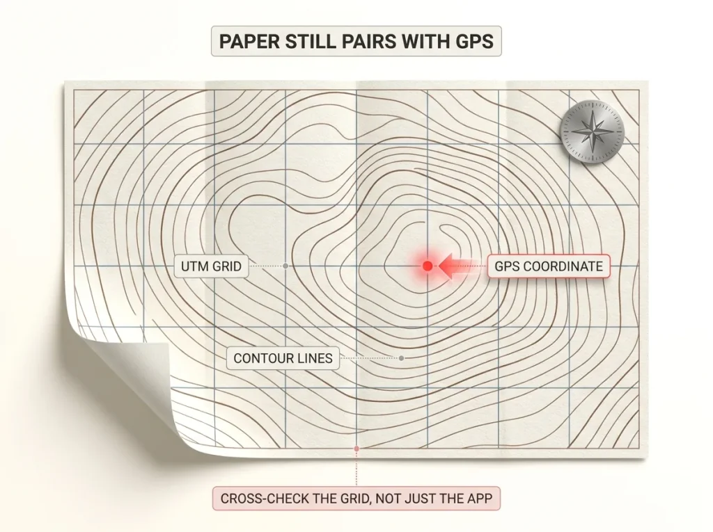
The right paper map is purpose-built for this. A National Geographic Trails Illustrated topo map for your destination is printed on waterproof, tear-resistant paper and carries a full UTM grid, so it can still be cross-referenced against a GPS coordinate if only the app glitches while the phone itself survives. Buy the one for your park and it becomes the cheapest insurance in your pack.
A map you cannot read is dead weight, though, so the skill is what activates the paper. Pairing the map with a compass bearing is how you turn contour lines into a direction to walk, and it starts with knowing how to actually read a topographic map instead of just carrying one. Set the compass for your area first, because you have to set your compass for magnetic declination first or your bearing will be off by degrees that matter over miles. For obtaining official maps of the area you are heading into, the NPS’s official map library is the authoritative starting point.
Trust but Verify When Crowdsourced Trails Lie
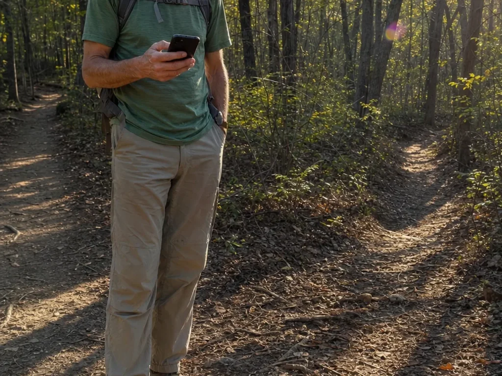
The blue line looked continuous the whole way. That is exactly how people walk confidently off-route, because the app never blinks, never hesitates, and never tells you the line it is drawing was recorded by someone else’s phone under who-knows-what conditions.
Crowdsourced tracks blend real maintained trails with herd paths, and their accuracy can swing wildly depending on signal strength, weather, and where the recording phone was carried. A route that was easy to follow in summer can vanish under fall leaf-litter on the same recorded line, leaving you staring at a screen that insists there is a trail where the ground says otherwise.
The habit that keeps you safe is simple: cross-check any off-the-main-trail crowdsourced route against an official source before you commit to it. The NPS App, a ranger station, or a forest service map gives you ground truth, the surveyed accuracy that a stranger’s GPS recording cannot promise. Trust the crowdsourced line as a suggestion, not gospel.
Keep this brief in your head as one rule rather than a research project. If you want the deeper version of how over-trusting a device goes wrong, the navigation mistakes that quietly get hikers lost covers the full pattern, from GPS error to blind faith in a single tool.
Knowing When Not to Rely on an App
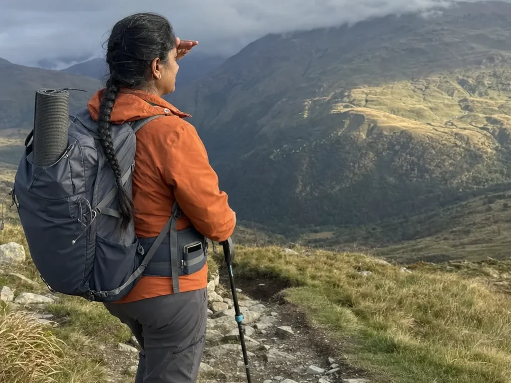
The hikers who never get lost are not the ones with the most apps. They are the ones who look up. An app is a tool, and the moment it becomes a replacement for knowing roughly where you are, you have handed your safety to a battery.
Screen-staring hikers miss trail markers, junctions, and the terrain cues that keep you oriented for free. Look up more than you look down. Notice the ridge on your left, the creek you crossed, the way the trail has been climbing for the last mile. That running mental map is what lets you catch a wrong turn in two minutes instead of two miles.
Building basic analog skill is the whole insurance policy. Recognizing landmarks, reading terrain, and keeping a rough sense of direction through basic dead reckoning means a dead phone is an inconvenience, not an emergency, and it starts with reading the land instead of the screen. None of it requires a subscription.
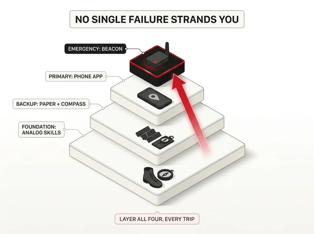
Here is the hard stop that matters most. A phone app is not a satellite messenger. In true backcountry with no signal, an app cannot call for help, because it has nothing to call on. That job belongs to a dedicated satellite communicator or beacon, and it is worth understanding why a real emergency needs a satellite messenger, not an app before you head somewhere your phone cannot reach anyone. Redundancy is the entire philosophy here: app, paper, and skill, layered so no single failure strands you.
Conclusion
Pick the app for the trip, not for the hype, and you will stop paying for features you never use. Remember that the free tier tends to fail right where navigation matters most, so verify your offline maps before you rely on them. And build the real backup system that no listicle mentions: battery, paper, and skill, working together so a dead phone never becomes a crisis.
Before your next hike, download your offline maps at home, drop a paper topo in the pack lid, and toggle the four battery settings in the parking lot. Then put the phone away, look up, and enjoy the walk.
Frequently Asked Questions
01What is the best free app for hiking?
For marked trails in signal, the AllTrails free tier is the easiest start. For genuinely offline navigation at no cost, Organic Maps, OsmAnd, or the NPS App all work with zero bars once you download the maps at home.
02Do hiking apps work without cell service?
Yes. Your phone’s GPS works with no signal because it talks to satellites, not cell towers. The catch is the map itself, so you must download offline tiles before you lose signal, ideally at home on wifi.
03Is AllTrails or Gaia GPS better for hiking?
They do different jobs. AllTrails wins for finding trails and reading recent conditions, while Gaia GPS wins for backcountry and off-trail navigation with surveyed topo layers. Committed hikers often run both.
04Do I still need a paper map if I have a hiking app?
For anything remote, yes. The NPS advises a printed backup because phone battery may not last the whole trip. A waterproof topo map has no failure mode a charged phone shares, and it works at any temperature.
05How do I keep my phone from dying on a long hike?
Turn the screen off between checks, use airplane mode with GPS on, and carry a 10,000 mAh power bank. That combination takes drain from around 10 to 15 percent per hour down toward 1 to 2 percent per hour.
Risk Disclaimer: Hiking, trekking, backpacking, and all related outdoor activities involve inherent
risks which may result in serious injury, illness, or death. The information provided on The Hiking Tribe is for
educational and informational purposes only. While we strive for accuracy, information on trails, gear, techniques,
and safety is not a substitute for your own best judgment and thorough preparation. Trail conditions, weather, and
other environmental factors change rapidly and may differ from what is described on this site. Always check with
official sources like park services for the most current alerts and conditions. Never undertake a hike beyond your
abilities and always be prepared for the unexpected. By using this website, you agree that you are solely
responsible for your own safety. Any reliance you place on our content is strictly at your own risk, and you assume
all liability for your actions and decisions in the outdoors. The Hiking Tribe and its authors will not be held
liable for any injury, damage, or loss sustained in connection with the use of the information herein.
Affiliate Disclosure: We are a participant in the Amazon Services LLC Associates Program, an
affiliate advertising program designed to provide a means for us to earn advertising fees by advertising and linking
to Amazon.com. As an Amazon Associate, we earn from qualifying purchases. We are also an official affiliate partner
of Black Diamond Equipment via the AvantLink network. If you click on a Black Diamond affiliate link and make a
purchase, we may earn a commission at no additional cost to you. We also participate in other affiliate programs and
may receive a commission on products purchased through our links. Additional terms are found in the terms of
service.