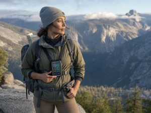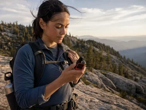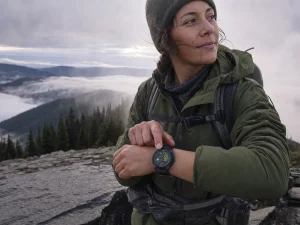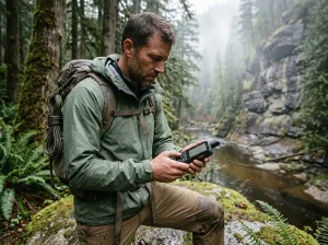



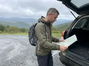
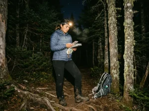


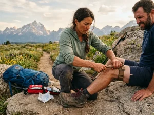

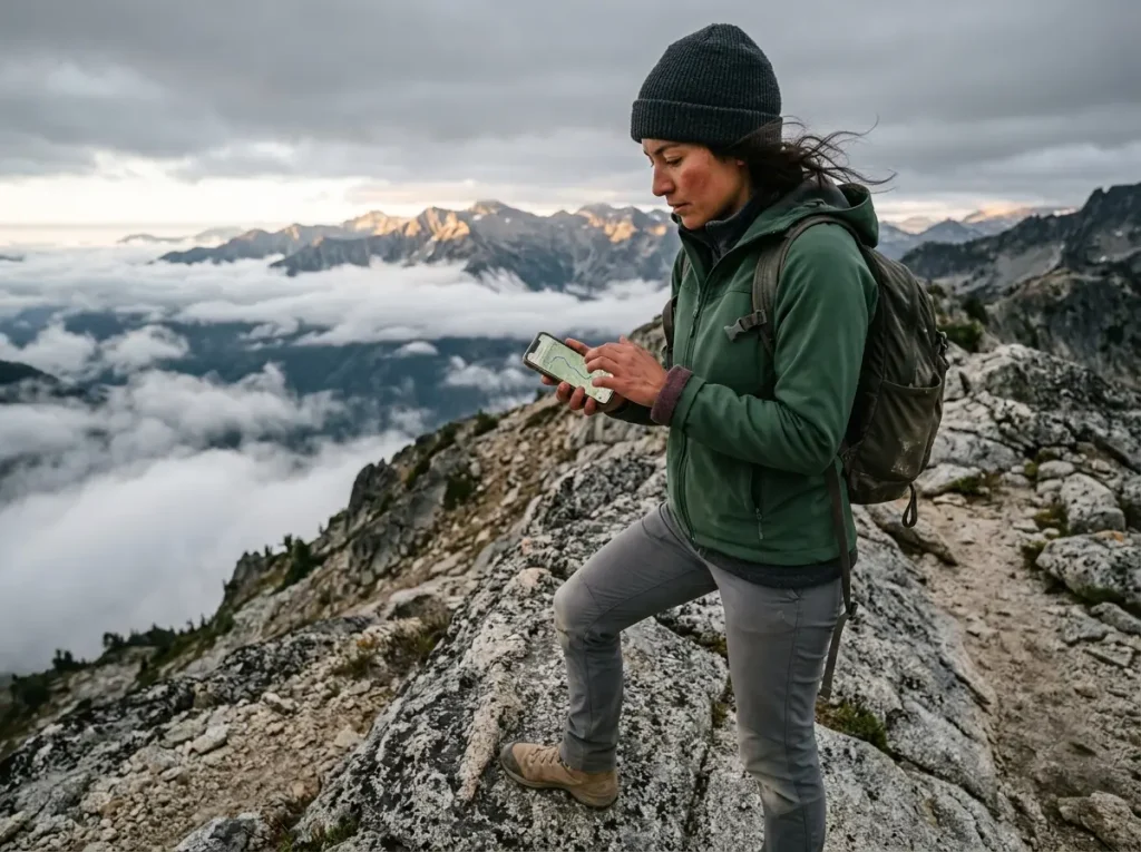
You’re a mile past the last bar of signal when you thumb open the app you were sure had the map saved. The screen spins for a second, loads the trail to the exact edge of where you still had service, then dissolves into blank grey squares. That gap between “free” and “works when it counts” is where most hiking apps quietly let you down, and trail organizations treat it as a preparedness problem, not bad luck. This guide ranks the best free hiking apps by one honest measure: how much you can actually do without ever paying, starting with the ones that still draw a map when your phone has no signal at all.
What “Free” Really Means in a Hiking App
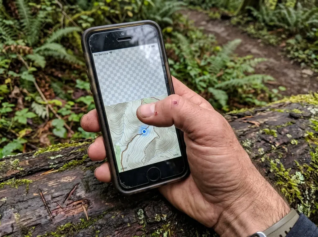
Here’s where most people get burned: they assume a free hiking app that looks fully loaded at the trailhead will keep working once they walk out of range. It won’t, unless it downloaded the map first. Before naming a single app, it helps to understand what your phone is actually doing out there, because the word “free” is doing a lot of quiet work in the app stores.
Your Phone’s GPS Doesn’t Need a Signal
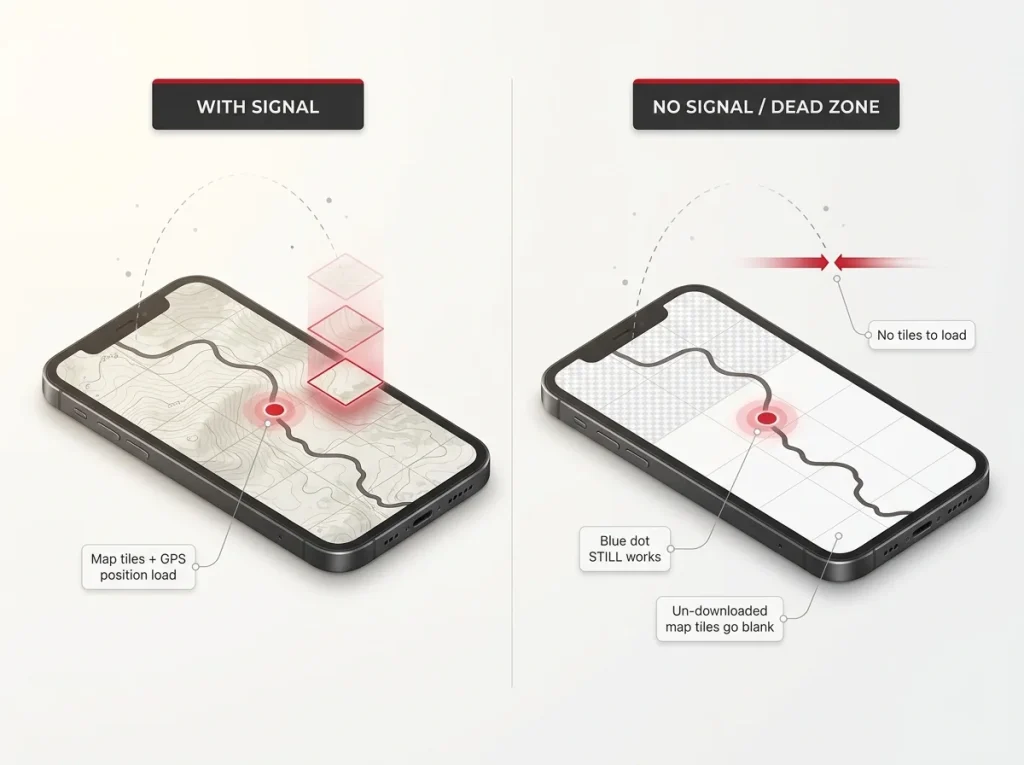
Your phone’s GPS chip is a passive satellite receiver. It listens for satellites and works out where you are, and it keeps doing that with zero cell bars, deep in a canyon, in airplane mode, wherever. Hikers call that live position marker the blue dot, and the blue dot almost always keeps working in a dead zone.
What fails is the map underneath it. Map apps stream map tiles, the little image squares that make up the terrain, from a server as you move. Lose your connection and there’s nothing to load new tiles from, so the app has nothing to draw your position on. The blue dot is fine. The map is a blank grid. That single distinction explains nearly every “my app stopped working” story on the trail, and it’s the same mechanism behind the navigation mistakes that quietly get hikers lost.
Why Offline Maps Sit Behind a Paywall
So why do so many apps let you see the map for free but charge you to save it? The honest answer is cost. Serving one live map tile to your screen when you ask for it is cheap. Storing high-resolution topographic maps and letting millions of users cache whole regions on their phones is not. That storage and bandwidth scales with every user who downloads, and it recurs. Offline capability is the expensive part to run, so it’s the part most freemium apps fence off to fund everything else.
That’s reasoning, not a leaked invoice, and no app publishes its tile-licensing bill. But once you see offline as the costly feature rather than a random one, the paywall stops feeling arbitrary and starts telling you exactly what to check before you trust an app off-grid.
The Safety Cost of a Blank Map
A blank map isn’t just annoying. Trail data quality is a real variable in how often people need rescuing. AllTrails’ own public-lands program reported a 66% drop in search-and-rescue incidents on two Olympic National Park trails after the trail data was cleaned up, and a 62% drop park-wide over two years. Treat that as a company-reported figure rather than independent research, but the direction is intuitive: good information keeps people found, and missing information does the opposite.
A free app that silently stops loading maps is a form of missing information at the worst possible moment. That’s why Washington Trails Association’s guidance on carrying redundant navigation tools rather than trusting a single app matters here. Your phone is one tool. Treating it as your only tool is the gap that turns an inconvenience into a problem.
AllTrails Free — Great for Planning, Blind Offline
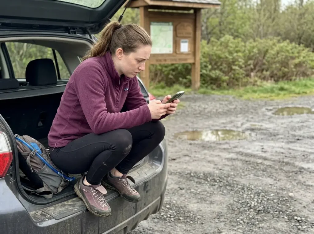
AllTrails is the app almost everyone already has, and for good reason. It’s genuinely useful. The catch is that the thing it’s best at, finding trails from your couch, is not the thing you need most when you’re standing on one with no signal.
What the Free Tier Actually Gives You
Free AllTrails is a strong planning tool. You get a huge database of trails, user reviews, recent trip photos, difficulty ratings, and recorded routes you can browse before you go. For picking a Saturday hike over coffee, it’s hard to beat, and it costs nothing. If you’re weighing whether the paid tiers are worth it, our full comparison of AllTrails, Gaia, and the other big apps breaks down where the money actually goes.
Where It Goes Dark
Offline map downloads are not part of the free tier. Saving a map for offline use lives behind AllTrails Plus and the higher Peak tier, per AllTrails’ own help documentation on offline downloads. Free AllTrails is online-only.
That’s the trap in one sentence. The app looks completely capable at the trailhead, because you still have signal there. You start walking, the map keeps up for a while, and then somewhere past the last bar it stops loading new terrain. People don’t discover this reading the fine print. They discover it a mile in, which is exactly the wrong place to find out.
The Braided-Trail Problem
There’s a second thing worth knowing about any crowd-sourced app, free or paid. User-recorded GPS tracks can create what hikers call braided trails: wrong routes that were logged by someone who wandered off the real path, but still render as clean, official-looking lines on your map. They look valid until someone flags them, and bad tracks have contributed to real overnight search callouts when a group followed one into terrain that didn’t go anywhere.
The takeaway isn’t to distrust AllTrails specifically. It’s to treat any app’s route as a strong suggestion rather than gospel, especially once you’re off well-trodden ground. Keep AllTrails free for discovery. Just don’t count on it to carry you through a dead zone.
Gaia GPS Free — The Same Offline Catch
Gaia has a power-user reputation, the app serious backcountry folks name-drop. That reputation leads a lot of people to assume the free version is a heavy-duty navigation tool. Offline is where that assumption falls apart.
A Capable App, With a Connection
While you have signal, free Gaia GPS is genuinely capable. You get layered topographic maps, live tracking of your route, and the kind of detailed terrain view that makes it popular for serious backcountry navigation. For studying a route at home or checking your position when you still have bars, it delivers.
The Offline Wall
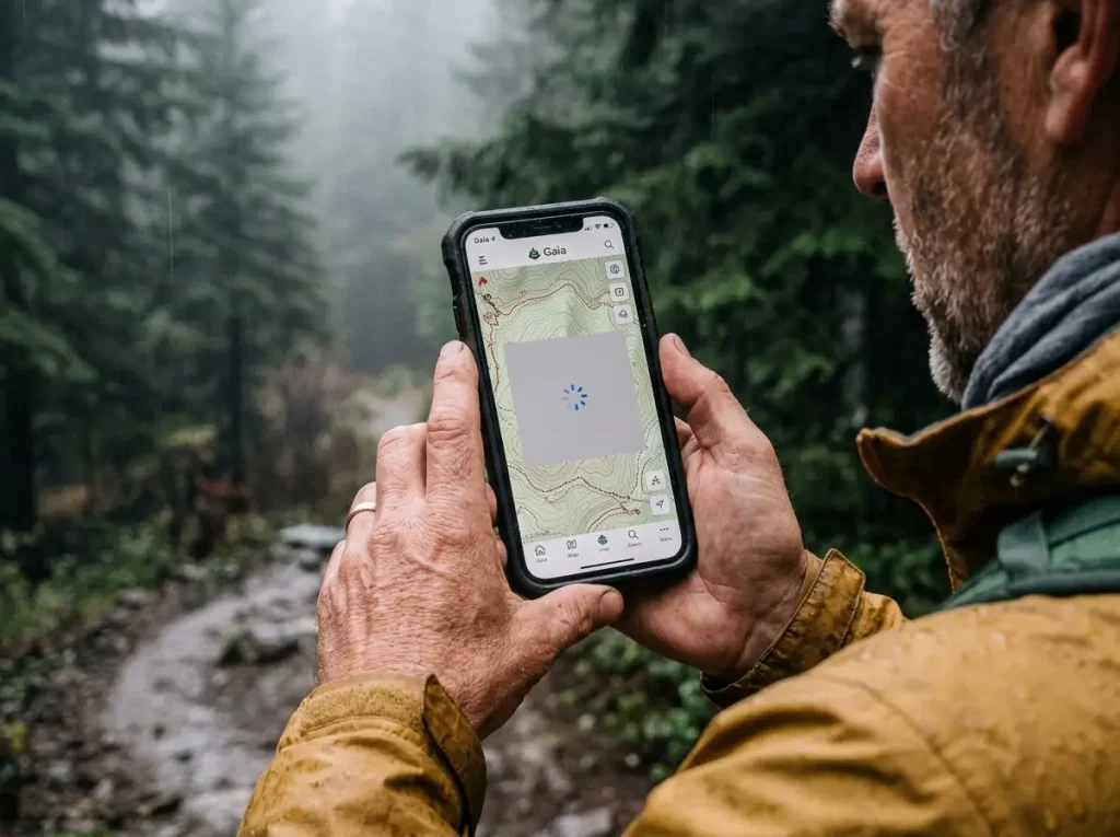
Free Gaia GPS explicitly blocks offline map downloads. To save any map layer for offline use, you have to be logged in and subscribed to Premium, per Gaia GPS’s own support article on downloading maps for offline use. Same failure mode as AllTrails, same surprise in the same place. Full-featured with a connection, a blank grid without one. The dead zone is precisely where the free tier stops being a map.
Battery Is the Other Half of the Problem
Even where a free app does work, running live tracking all day means serious phone battery drain, which compounds the risk of leaning on your phone as your only tool. A dead phone and a paywalled map fail you the same way: no map when you need it. If your plan involves recording a track for hours, it’s worth learning how to record GPS tracks all day without killing your battery before you rely on it. Bottom line: free Gaia is a fine preview of a paid app, not a free offline navigator.
Komoot Free — One Region, Fully Offline
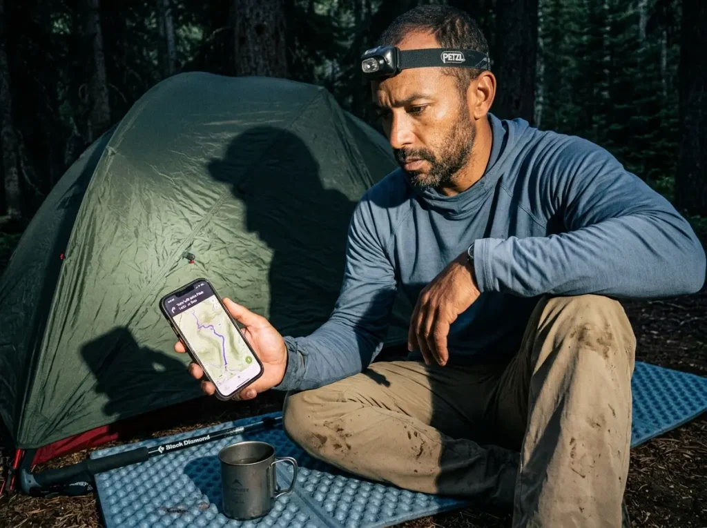
Komoot flips the usual free-tier deal on its head. Instead of crippling offline to sell you the upgrade, it hands you one region completely free, and it gives you the real thing inside that boundary: downloads, voice navigation, planning, all of it.
How the One-Region Model Works
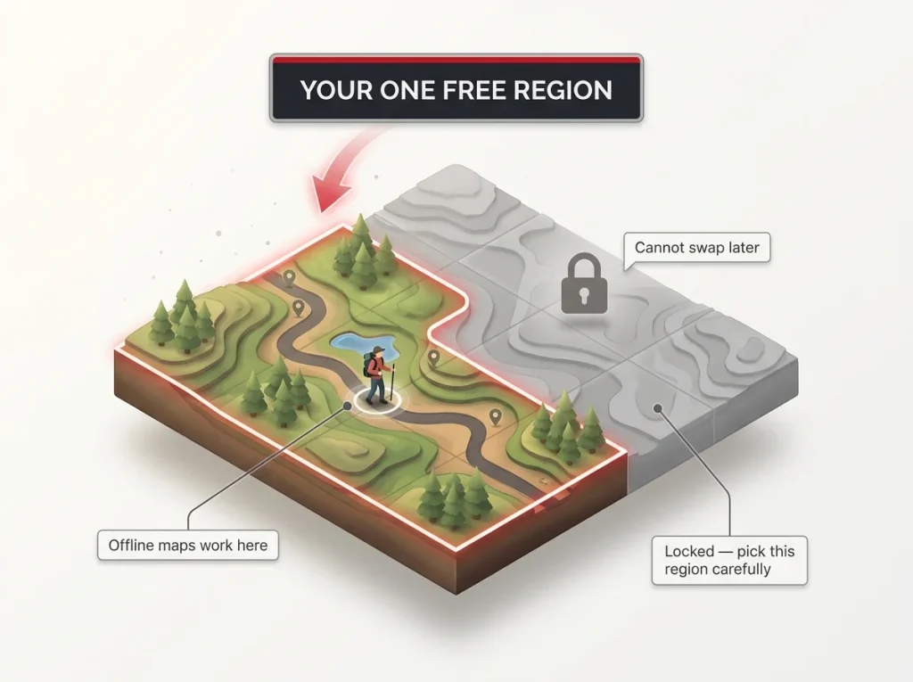
Komoot’s free tier gives you exactly one region. You pick it the first time you redeem it, and it locks permanently to your account, per Komoot’s support page on redeeming your one free region. You can’t swap it later, so the choice matters more than it first appears.
Why It Beats the Big Two Offline
Here’s the part that sets Komoot apart. That single free region includes offline map download, turn-by-turn voice navigation, and full route planning. Unlike free AllTrails and free Gaia, it’s genuinely usable with no signal. Komoot didn’t lock offline behind the paywall. It locked geography instead, which for a lot of hikers is a much better trade.
Choose Your Region Like It’s Permanent
The common mistake is redeeming your free region on the wrong patch of ground. People grab their home area out of habit, then plan a trip somewhere else months later and find the whole new region locked. If you live near a regional border or you travel to hike, one region covers less than it sounds like. For a deeper look at how the offline-capable apps stack up against each other, our guide on how to choose between map apps for offline hiking is a useful companion here.
Redeem your free Komoot region for where you actually hike most, not where you happen to be sitting when you install the app. Then download it at home on Wi-Fi, matched to your next trip, before you’re anywhere near the trailhead.
Hiking Project — Actually Free, Actually Offline
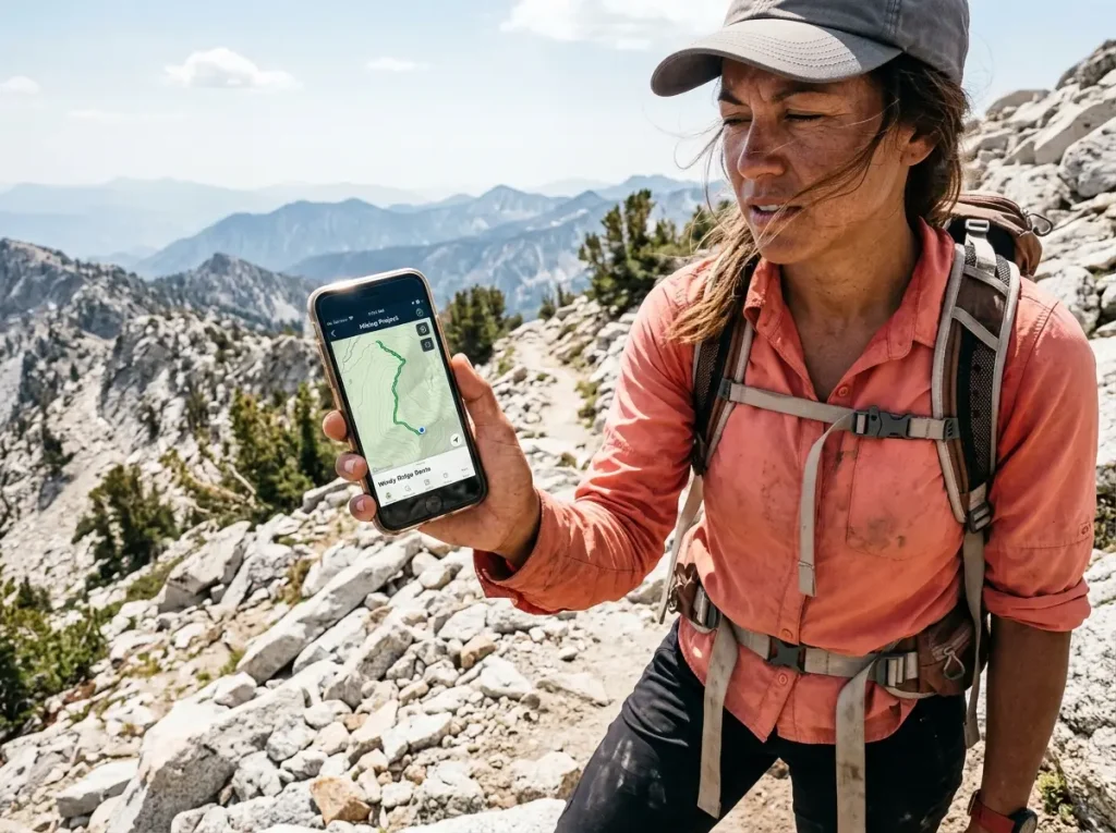
This is the one app on the list where “free” has no asterisk waiting for you. No trial clock, no upsell greying out the button you need, no paywall to hit two miles in. It’s the honest answer to “which free app actually works with no signal,” which is why it belongs at the center of any free setup.
Free With No Asterisk
Hiking Project, built and backed by REI, is 100% free. There’s no ads, no paid tier at all, and downloaded trails work fully offline with no cell reception required, per Hiking Project’s mobile app page. Download what you need, walk into a dead zone, and the map is still there. That’s the whole pitch, and it delivers on it.
Coverage and Its Limits
The database covers more than 74,000 miles of trail, maintained and updated by the community, which puts its scope in the same ballpark as what AllTrails shows you for free, except with offline downloads included at no cost. The honest limit is the flip side of community data: coverage runs deep in popular areas and thins out in obscure ones. For most day hikes and well-known backpacking routes it’s excellent. For a remote, rarely-logged route, verify before you rely on it.
The Backbone of a Free Setup
Because it’s fully free and genuinely offline, Hiking Project is the strongest single piece of a no-cost navigation kit, and the natural on-trail half of the two-app strategy in the next section. If you want to carry routes between apps, it’s worth knowing how to create and move a GPX file between apps so your planning in one app follows you into another.
Before you leave the driveway, put your phone in airplane mode and open the map you just downloaded. If it draws the trail with no signal, you’re set. If it goes blank, your download didn’t save, and the trailhead parking lot is the worst place to learn that.
Stack Two Free Apps to Cover the Gap
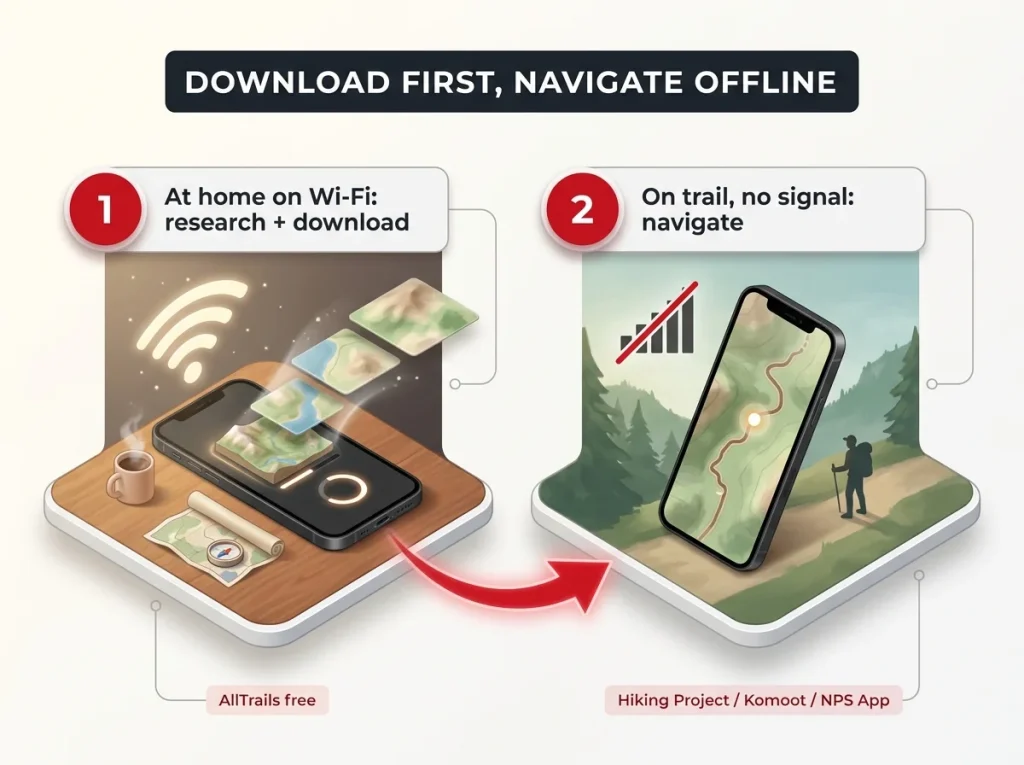
You don’t have to pay to close the offline gap. You have to be a little clever about it. Let one free app do the thing it’s best at, then hand off to another for the part it can’t do. Done right, two free apps cover what most people pay a single subscription for.
Discover at Home, Navigate on Trail
The strategy is a simple split. Use free AllTrails, or a similar discovery app, at home on Wi-Fi to research and pick your trail, read recent reviews, and check conditions. Then switch to an app with real free offline capability, Hiking Project or Komoot within your one region, for the actual on-trail navigation once you’ve downloaded what you need. Discovery and navigation are two different jobs, and no rule says the same app has to do both.
Do all your downloading the night before on strong home Wi-Fi, not on spotty trailhead cell data. A big offline map download over a weak connection is exactly the one that fails halfway and leaves you thinking it worked.
The National Park Shortcut
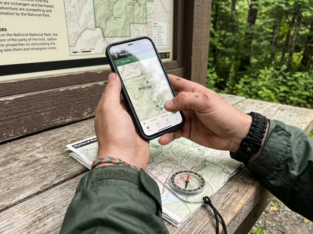
If your hike is inside a national park, there’s a third genuinely free offline option most people overlook. The National Park Service’s own free app, which lets you download entire park maps for offline use, pulls down whole park sites, maps, points of interest, roads, and trails, for use with no signal. For a park trip specifically, it’s a no-catch alternative to paying AllTrails or Gaia just to get one offline map.
Apps Are One Layer, Not the Whole System
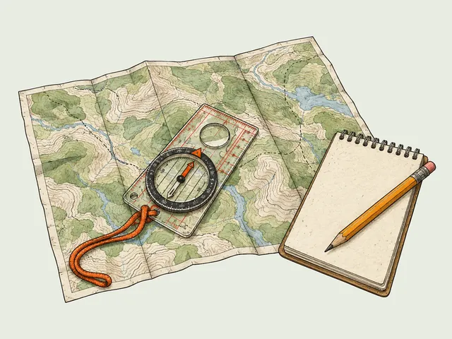
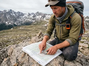
Stacking two apps is really navigation redundancy in miniature, and redundancy is the whole point of how phone apps fit alongside the rest of your navigation kit. Trail organizations recommend carrying several independent tools, a paper map, a compass, and your phone, rather than betting everything on one device. In a true dead zone with real consequences, a phone is one layer, and a personal locator beacon as your no-map backup is the layer that still calls for help when the screen goes dark. The one habit that ties it together: download before you lose signal, every single time. Every free-offline option only works if the download happened first.
Which Free App Fits Your Kind of Hiking
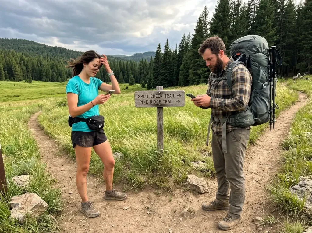
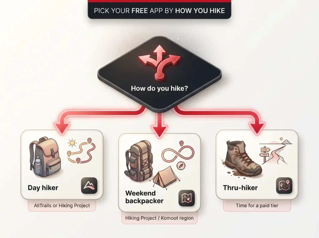
The right free app depends less on the app and more on how you hike. A casual day hiker and a thru-hiker have completely different definitions of “enough,” so the honest recommendation changes with the person holding the phone.
Day Hikers
If you stick to popular, well-marked trails and usually have some signal, free AllTrails or Hiking Project on its own is genuinely enough. You get trail discovery, reviews, and light on-trail reference, which covers the reality of most day hikes. You rarely hit the offline wall because you’re rarely far from a bar of service, and when you are, a quick downloaded Hiking Project map fills the gap.
Weekend Backpackers
Once you’re out for a full route away from towns, offline stops being optional. Here Hiking Project, or Komoot’s one region if it covers your trip, is the free-tier answer. You need a map that loads with no signal for the whole loop, not just near the trailhead. This is the hiker who gets bitten worst by the free-but-online-only apps, and the one who benefits most from downloading everything in advance.
Thru-Hikers and Frequent Travelers
If you’re covering long distances or hiking in a new region every few weeks, you’ll outgrow one free region fast and bump into the real ceiling of what’s free. This is the honest moment to say it plainly: at some point free stops being enough, and a paid tier or a dedicated device starts earning its keep. That’s not a failure of the free apps. It’s just the tier you’ve grown past, and it’s worth thinking about whether a phone app is enough or you need a dedicated GPS unit before you commit.
One more thing worth checking on any paid tier before you lean on it long-term: in most subscription apps, offline maps tied to a paid plan stop being accessible once the subscription lapses. Confirm the current in-app behavior rather than assuming your downloads are yours forever.
Here’s how the main free tiers compare at a glance.
| App | Free Tier Includes | Offline For Free? | Best For |
|---|---|---|---|
| Hiking Project | Full trail database, downloads, no ads | Yes, fully | Any hiker wanting real free offline |
| Komoot | One region with maps and voice nav | Yes, in one region | Hikers rooted in one home area |
| NPS App | Full park downloads offline | Yes, per park | National park trips |
| AllTrails | Discovery, reviews, route browsing | No, needs Plus | Planning day hikes at home |
| Gaia GPS | Topo layers, live tracking online | No, needs Premium | Previewing a paid app |
The Bottom Line
Your phone’s GPS works with no signal. It’s the un-downloaded map that fails, which is why “free” and “offline” are two separate promises, and plenty of apps only make the first one. Of the major apps, three give you genuine free offline use: Komoot’s one region, Hiking Project, and the NPS App. AllTrails and Gaia free are for planning, not for navigating off-grid.
Stack two free apps, discover at home and navigate offline, and you rarely need to pay a cent. Just download before you lose signal, every time. Before your next hike, redeem or download your offline maps at home on Wi-Fi and open them in airplane mode to confirm they load. The trailhead is the worst place to discover they didn’t save.
Frequently Asked Questions
01What is the best fully free hiking app?
Hiking Project is the strongest genuinely free option. It has no paid tier at all, and downloaded trails work offline with no signal. Komoot’s one free region and the NPS App are the other two that give real free offline use.
02Is AllTrails actually free?
AllTrails has a free tier, but it is online-only. Trail discovery and reviews are free, while offline map downloads sit behind AllTrails Plus. It is excellent for planning at home, not for navigating past the last bar of signal.
03Does Gaia GPS work offline for free?
No. Gaia GPS free explicitly blocks offline map downloads, so you need a Premium subscription to save any map layer. The free version stops loading new map tiles the moment you lose your connection.
04Can you use your phone GPS for hiking without cell service?
Yes. Your phone GPS chip receives satellite signals directly and shows your position with no cell service at all. The catch is the map underneath it. You must download the map tiles in advance, or there is nothing for your position to appear on.
05Does Google Maps work for hiking?
Only loosely. Google Maps can download areas for offline use and show your GPS position, but it lacks trail-specific data, topographic detail, and trail conditions. It is fine for a fire road, not a substitute for a dedicated hiking app on real trails.

I've spent more than a decade researching hiking gear and trail technique. I read the specs, the forum threads and the long-term reviews, and every pick here comes with what it gets wrong.
End of the trail
You read every mile of this one. Here's where the trail goes next.