
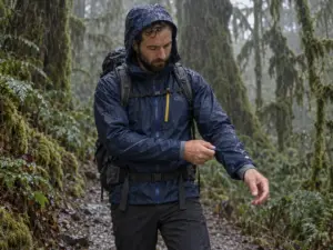
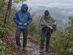
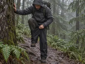



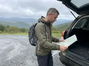



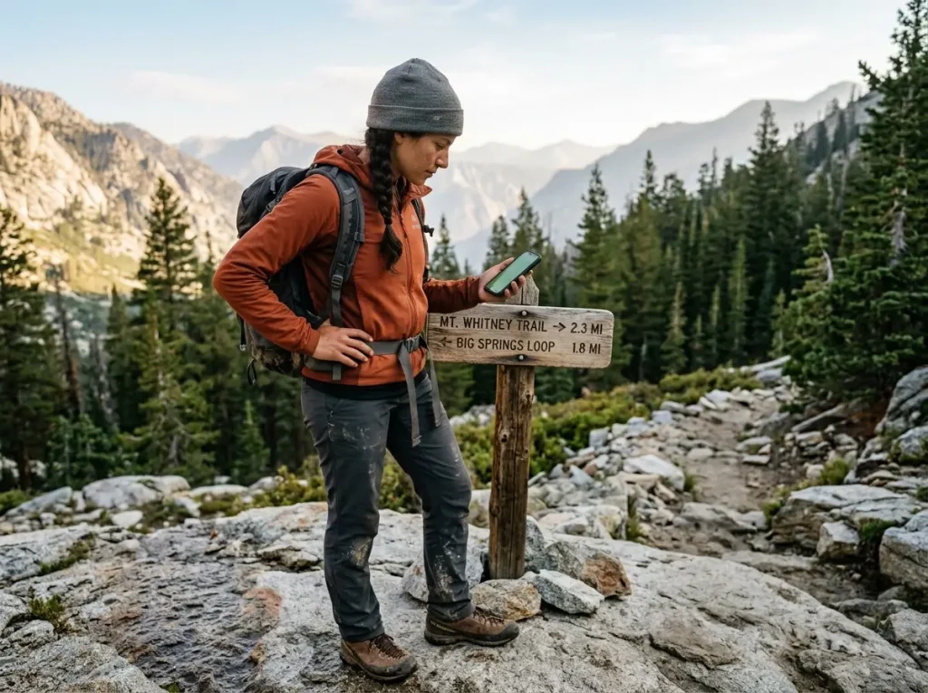
You tap a five-star AllTrails loop, lace up, and start walking. Forty minutes in, the blazes stop. The path you were following was never a trail at all, just one person’s GPS track through unmarked woods, stitched into a loop and handed a name that sounded official. Hikers in places like Red River Gorge run into this far more than the star ratings ever admit, and it is the cleanest argument for understanding what Gaia GPS and AllTrails actually do differently before you trust either one with your day.
What follows is the plain-spoken version of that comparison: which paid app you actually need, when the other one earns its subscription, and the honest math on running both.
Here is the quick version of which paid app fits which hiker, before we get into where each one breaks.
| App | Best For | Standout Feature |
|---|---|---|
| AllTrails+ | Beginners and popular, maintained day hikes | Huge trail database with recent reviews and photos |
| Gaia GPS Premium | Backcountry, off-trail, and route-finding | Surveyed topo plus National Geographic map layers |
| onX Backcountry | Land access, hunters, mixed public and private ground | Nationwide property boundary data |
The Real Difference Between Gaia GPS and AllTrails
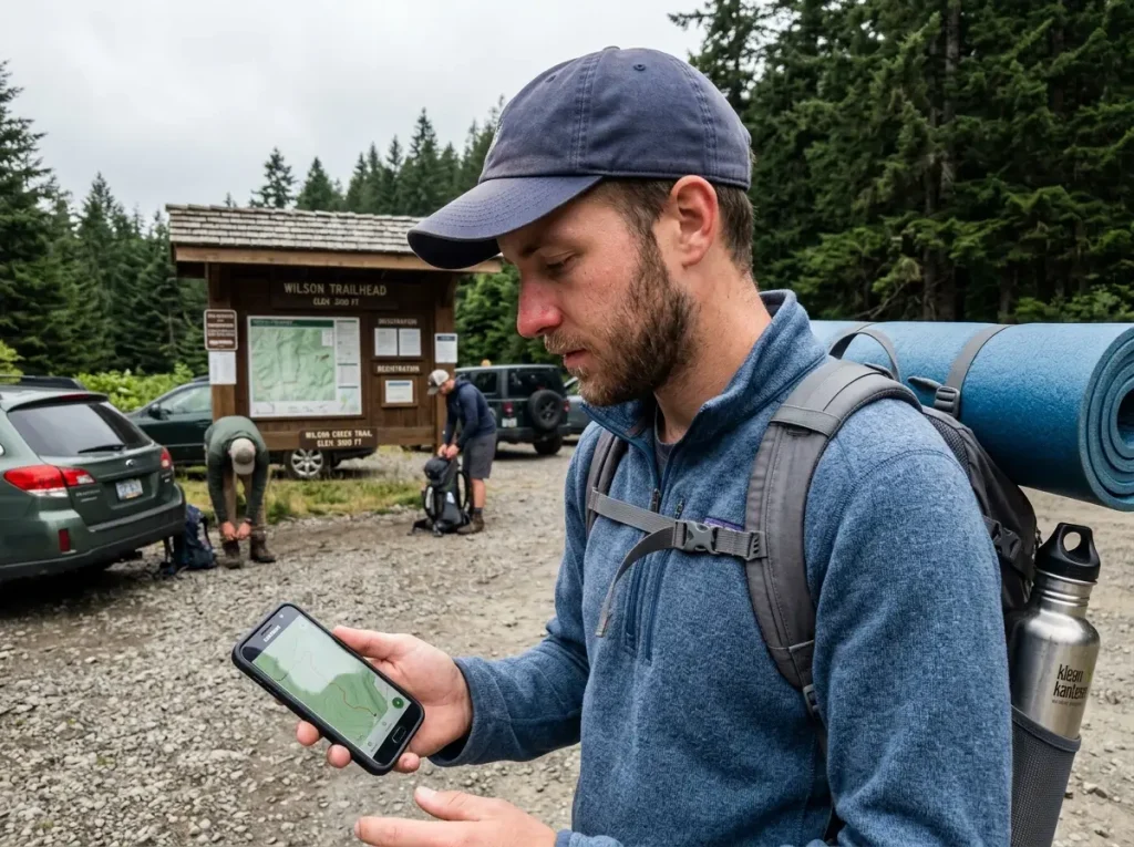
Put the two apps side by side and they look like rivals selling the same thing. They are not. AllTrails is a discovery engine. Gaia GPS is a mapping engine. Once you see them that way, most of the confusion about which is better disappears.
AllTrails, the Trail-Discovery Engine
AllTrails is built on a database of more than 450,000 trails, and its real power is social. You get recent trail reviews, photos, and current trail conditions that tell you whether the creek crossing is ankle-deep or thigh-deep this week. That crowdsourced trail data is why it is the app most people open first, and why beginners find it so easy.
Its paid tier layers on offline downloads, wrong-turn alerts, and turn-by-turn navigation, but the draw is still the crowd, not the routing. You search a town, you get a ranked list of hikes with pictures. Nothing else feels that friendly.
Gaia GPS, the Terrain-Mapping Engine
Gaia comes at the problem from the other direction. Instead of a social feed, it hands you serious maps: OpenStreetMap data, USGS topo, satellite imagery, and professionally surveyed maps including National Geographic Trails Illustrated layers. It is less interested in what other hikers thought and more interested in what the ground actually does. That is a steeper learning curve, and it is the reason search-and-rescue teams and backcountry hikers lean on it.
Why They’re Built for Different Jobs
Experienced hikers stopped asking which app wins a while ago. They carry a digital toolbox instead, using each app for the job it does best and ignoring the overlap. AllTrails finds the hike and tells you if the parking lot fills by 8 a.m. Gaia tells you what the last mile of that hike looks like when the marked path quits.
If you want the full picture of how a phone app fits into where a phone app sits in your wider navigation kit, the app is one layer, not the whole system. It is also worth remembering that a lot of the beta people credit to AllTrails actually gets traded in the communities hikers actually swap trip reports in, not the app itself.
When AllTrails Sends You Down a Trail That Isn’t Real
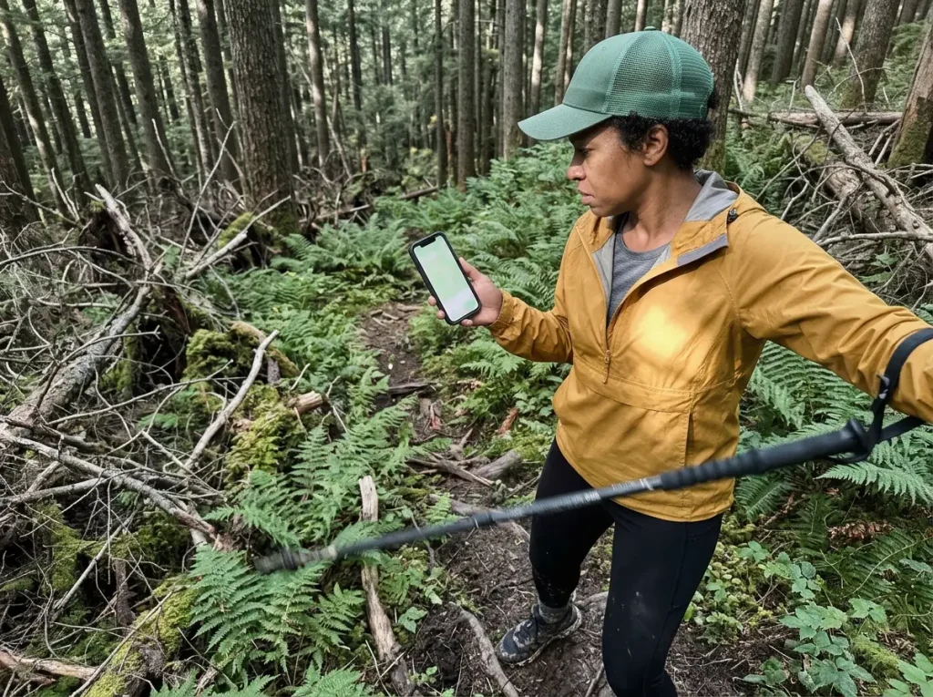
Here is where most comparisons go soft. They will tell you Gaia is “more accurate” and leave it there. They never explain the actual failure, so you never see it coming until you are standing in the ferns wondering where the path went.
How a User Upload Becomes a “Named” Trail
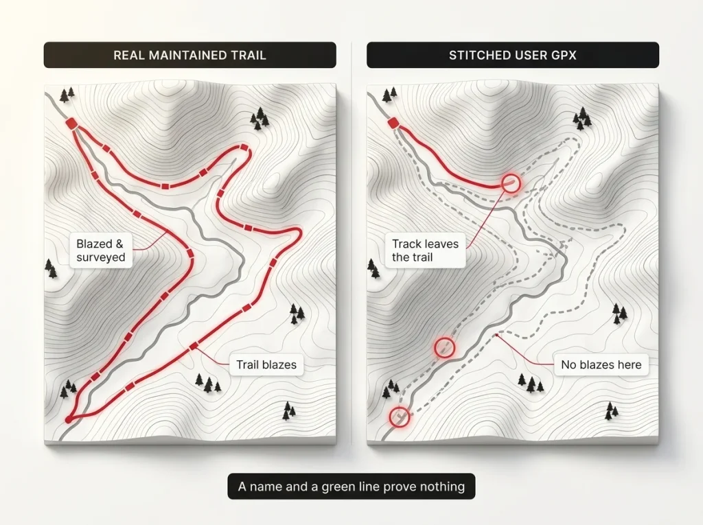
AllTrails lets anyone upload a GPS track, and the app draws no line between a Forest Service trail that has existed for fifty years and a route someone bushwhacked once last summer. Both show up looking like trails, both get names, both collect reviews. The star ratings you trust are often rating the scenery, not whether the route is real. Ask anyone who hikes off the beaten path: a name and a green line on a phone screen prove nothing about what is under your boots.
The Stale-Data Problem
The second failure is time. A blazed trail gets rerouted around a washout, a segment closes for a raptor nesting season, a parcel changes hands and goes private. The uploaded track does not update itself. Hikers have reported AllTrails routes running straight through closed reference areas, private property, and active forestry operations, which is not just annoying. It is how you end up on land you have no business crossing, adding miles to get back out.
Even the Park Service’s own guidance on trusting GPS in the field tells you to treat any single digital source as fallible.
How to Sanity-Check a Trail Before You Commit
The fix is a thirty-second habit called ground-truthing. Before you trust a trail, scroll to the most recent reviews and photos, not the top-rated ones from three years ago. Check whether the track follows an obvious maintained path on a topo layer or wanders across blank contour lines. If the “trail” only exists as one upload with no corroboration, treat it as off-trail navigation, not a hike.
When Gaia’s Accuracy Actually Matters (and When It Doesn’t)
Now the honest part, the part that saves you a subscription if you are paying attention. Gaia’s map advantage is real. It also does not matter most of the time.
On a Blazed, Maintained Trail, the Two Apps Tie
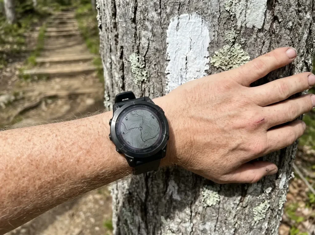
On a popular, signed, maintained trail, AllTrails’ data gets corrected constantly by heavy foot traffic. Thousands of people walk it, upload it, photograph it, and flag anything wrong. In that setting Gaia and AllTrails will put the same blue dot in the same place, and the extra map depth just sits there unused.
For the vast majority of park and forest day hikes, you would never feel the difference. Anyone who bought Gaia Premium for a season of well-marked state park loops paid for layers they never opened.
Where the Accuracy Gap Actually Bites
The gap shows up the moment you leave the crowd. Unmarked junctions, off-trail scrambles, low-traffic routes, winter and shoulder-season navigation where snow buries the tread: that is where crowdsourced data thins out and nobody has corrected the phantom trails. This is exactly the terrain where AllTrails’ weakest data meets the highest stakes, and where surveyed maps stop being a luxury.
The Map Layers You’re Really Paying Gaia For
What Gaia’s premium tier buys is specific. Gaia Premium unlocks National Geographic Trails Illustrated maps, unlimited layered overlays, air-quality and wildfire and snow-depth layers, and desktop printing. Those are professionally surveyed sources you cannot get on AllTrails at any tier. If you are the kind of hiker who is already comfortable reading the topo lines Gaia leans on, that is the toolset that earns its keep.
Here is the whole decision rule in one line: if every hike on your calendar this year is on a signed, maintained trail inside a park or forest, you do not need Gaia. Skip the premium subscription and put that money toward a real paper map. The day your plans include an unmarked junction is the day that changes.
Offline Maps, Battery, and the Dead-Phone Problem
Neither app does you any good the second your phone goes dark, and screen-on GPS is one of the fastest ways to get there. This is the layer of the comparison that has nothing to do with maps and everything to do with staying navigational all day.
How Each App Handles Offline Downloads
Both apps let you save maps for use with no signal, and both gate the good version behind their paid tier. The catch that catches people is timing. Neither app fetches new tiles once you are in a dead zone, so a region you forgot to download at the trailhead is a region you do not have. Download offline maps for your whole route while you still have bars, then assume you will get nothing after that.
The specific ways offline maps quietly fail in the cold are worth knowing before you rely on them in winter.
Vector vs Raster and What It Means for Your Battery
Gaia moved to a vector maps engine that stores and redraws lighter than the old raster tiles approach, and you will see that claim repeated as if it settles the battery question. It does not. Vector maps help a little with storage and redraw, but real battery drain on trail is dominated by GPS polling and screen-on time, and both apps hammer those the same way.
The app you pick barely moves the needle. What you do with the phone moves it a lot.
Protecting Your Phone Battery on a Long Day
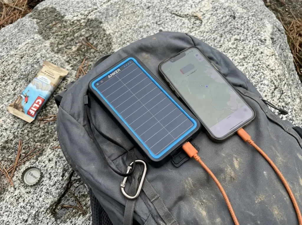
The mitigations are the same regardless of which logo is on your screen: airplane mode with GPS still on, pre-cached maps, a dimmed screen, and longer track-recording intervals. Past a half-day hike, a power bank stops being optional. The Anker PowerCore Solar 10000 is the kind that survives a wet, dusty trip, with a 10,000 mAh cell, an IP64 splash-proof shell, and a built-in flashlight for camp chores after dark. If you want to squeeze more hours out of every charge, the settings that let you record tracks all day without draining your phone matter more than the brand of app.
Running both apps’ GPS tracking at the same time to feel safer is a rookie move that roughly doubles your battery drain. Pick one app to actively record the track and close the other. You lose nothing but the drain, because you were only ever going to read one screen at a time.
Neither App Replaces a Satellite Communicator
This is the point no comparison states plainly, so here it is. Neither Gaia nor AllTrails is a safety system. The feature people trust most is the one most likely to fail them.
Why AllTrails’ Live Share Dies When You Need It Most
AllTrails’ safety check-in, once called Lifeline and now Live Share, needs an active cellular connection and a living phone battery to work. It is not a messenger and it is not an SOS system. It goes dark in the exact scenario where you would reach for it, no signal and a dying phone, and your safety contact simply stops getting updates without knowing why. Relying on it as if it were an emergency beacon is the mistake that turns a bad afternoon into a search.
What Actually Works With No Signal
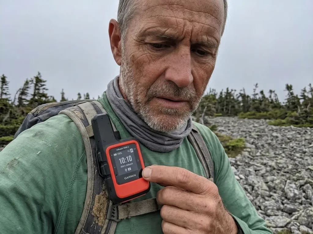
When the cell network is gone, the only thing that reaches out is hardware built for it. A satellite communicator like the Garmin inReach Mini 2 sends two-way messages and triggers an SOS with no cell signal at all, on its own battery, independent of your phone. Whether you carry that or lean on your phone at all is part of the bigger question of whether a dedicated GPS unit beats your phone here, and if you are weighing beacons specifically, how the inReach stacks up against a SPOT is the next thing to read.
The Backstop Below the Electronics
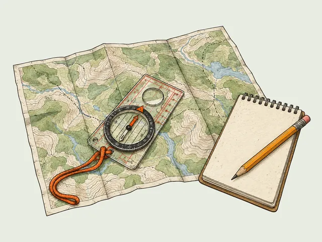
Below every battery is paper. A blazed trail map and a compass weigh almost nothing and never run out of charge, which is why the Park Service’s Ten Essentials still list a paper map and compass as required backup, not optional. Electronics extend your capability. They do not replace the backup that works when everything else quits.
What AllTrails+ and Gaia Premium Actually Cost Together
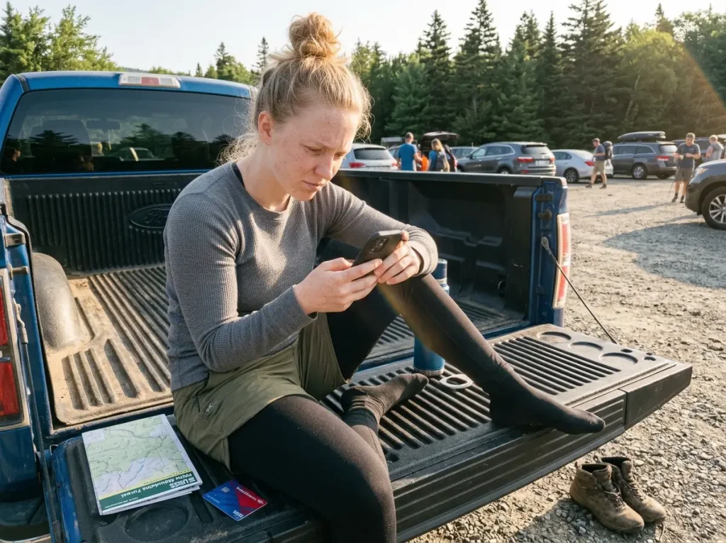
Nobody gives you the real number, so here it is without the rounding. This is where the “just use both” advice quietly costs you.
AllTrails+ vs Gaia Premium, Side by Side
AllTrails+ is the lighter subscription. Gaia Premium runs roughly double it, which reflects the map depth you are paying for, and it means the two are not casually interchangeable line items. One is a cheap annual habit. The other is a real one.
Check each app’s current pricing page before you commit, because both have nudged their rates up over the years.
The Real Combined Cost of Running Both
Stack them and you are carrying two subscriptions at once, and the honest annual total is higher than the softened figure other sites like to wave at. For a lot of hikers that is money spent on a tier they will open twice, because the reason to hold both is narrow.
When Paying for Both Is Smart, and When It’s Wasteful
Both subscriptions earn their cost only if you genuinely live in two worlds: casual, social day hikes where AllTrails’ community data pays off, and real backcountry trips where Gaia’s maps do. If your hiking is all one flavor, you are paying for half a toolkit you never touch. And if you are not ready to pay for either, both apps have free tiers, and the free apps that still work with no signal will cover a beginner’s first season fine.
The Two-App Workflow That Beats Picking One
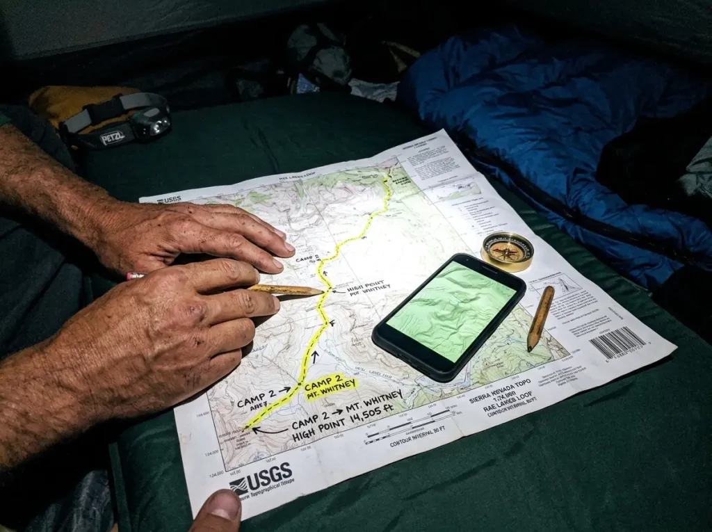
If you do spring for both, do not just bounce between them at random. There is a sequence veterans actually run, and “use both apps” is not it. This is the specific version.
Discover and Plan on AllTrails
Start at home on wifi. Use AllTrails for what it is best at: finding candidate hikes, reading recent reviews and photos, and getting a read on current conditions. This is your discovery pass, and it is the one place crowdsourced trail data genuinely shines, because you are treating it as gossip to verify, not gospel to follow.
Cross-Check Terrain on Gaia Before Trail Day
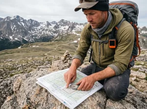
Take the route you found and rebuild it on Gaia’s topo and satellite layers before you leave. This is where real route planning pays off: look for the terrain AllTrails hides, how much elevation gain stacks up in that “easy” second mile, whether the route touches any off-trail navigation, and where the exposed stretches are. Drop a waypoint at every junction you are unsure about, so you are not guessing when you get there.
Then download both apps offline. If you build the route once and want it in both places, moving a route between the two as a GPX file is a five-minute job that saves you rebuilding it twice.
Which App to Trust When They Disagree
Out on trail, when the two apps disagree about where the path goes, default to Gaia’s base layer for terrain truth and treat AllTrails’ reviews as a freshness signal only. Gaia tells you what the ground does. AllTrails tells you what someone saw last week.
Both are useful. Only one of them is a map.
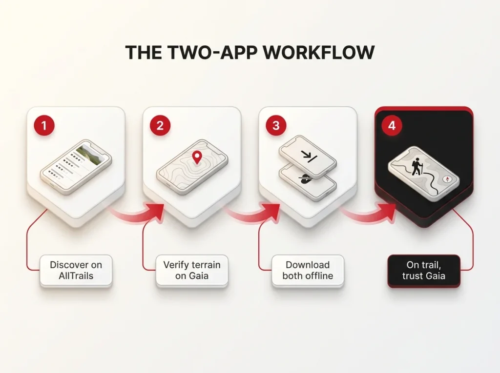
The whole two-app habit is just trust-but-verify between crowdsourced and surveyed data. AllTrails answers “is this hike worth doing and is it in shape right now.” Gaia answers “where exactly does it go and what will hurt me.” Ask each app only the question it can actually answer and they stop feeling redundant.
The Other Contenders Worth Knowing
Gaia and AllTrails are not the only tools, but each of these earns a spot only for a specific job. None of them is a universal winner, and treating them that way is how you end up with four subscriptions and no clear system.
onX Backcountry for Land Boundaries and Access
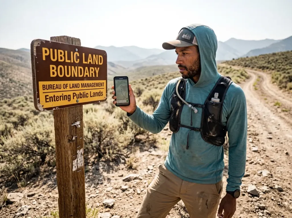
onX Backcountry sits at the affordable end of the field, with a step-up Elite tier that adds the deepest landowner detail. Its real differentiator is nationwide public and private land boundary and landowner data, which neither Gaia nor AllTrails offers at all. If your hiking crosses mixed ownership, or you hunt, onX answers the one question the other two cannot: is this ground I am allowed to be on.
Komoot and the One-Time Regional Model
Komoot breaks the subscription mold entirely with a one-time regional-purchase model: one region free, a small fee per additional region, or a lifetime world pack. For a hiker who only ever roams one corner of one state, that can be genuinely cheaper than any annual plan, and it is worth a look before you commit to a recurring bill.
FarOut, the Thru-Hiker’s App
FarOut is priced per trail, or as an annual unlimited plan, and for long-distance hikers on the Appalachian Trail, Pacific Crest Trail, or Continental Divide it is close to mandatory. Its crowdsourced water-source and campsite comments are tied to precise mile markers, which is a completely different job than general navigation. If you are thru-hiking, you already know you need it. If you are not, you do not.
Conclusion
Strip away the feature lists and it comes down to three calls. If every hike you will do this year is on a signed, maintained trail, AllTrails alone is enough, so skip Gaia and keep the money. The moment a trip goes off-trail, remote, or deep into shoulder season, Gaia’s surveyed maps start earning their price, and a satellite communicator stops being optional gear. And whichever app is on your screen, remember that neither one is a safety net: a paper map and a charged power bank are the backups that actually work when the phone quits.
Before your next hike, run the two-app check even if you only own the free tiers. Plan the route on AllTrails, sanity-check the terrain on Gaia, and download both offline while you still have signal. It takes ten minutes at the kitchen table and it is the difference between following a trail and following a stranger’s guess.
Frequently Asked Questions
01Is Gaia GPS better than AllTrails?
Neither is universally better; they are built for different jobs. AllTrails wins trail discovery and beginner-friendliness on maintained trails, while Gaia GPS wins map accuracy and depth off-trail and in the backcountry.
02Do I need both AllTrails and Gaia GPS?
Only if you regularly do both social day hikes and genuine backcountry trips. Running both means paying for two subscriptions at once, so most hikers are better off picking the one that matches their terrain.
03Is AllTrails accurate for hiking?
It is accurate on popular, maintained trails where heavy foot traffic corrects the data, but its user-uploaded routes can present informal or closed paths as named trails. Cross-check recent reviews and a topo layer before you commit.
04Which hiking app works best without cell service?
Both work offline only if you pre-download the maps before losing signal, and neither replaces a satellite communicator in a true emergency. For off-grid safety, carry a device like the Garmin inReach and a paper map alongside the app.

I've spent more than a decade researching hiking gear and trail technique. I read the specs, the forum threads and the long-term reviews, and every pick here comes with what it gets wrong.
End of the trail
You read every mile of this one. Here's where the trail goes next.